A further 50! Walk 38 – 13/01/2023

As can be seen from the date this continued to be a lean time for walking, other than to the shops and back. I was quite surprised how the actions of others had upset my equilibrium towards wanting to go out for a walk. Two things have changed this state of mind.

Firstly I decide, having weighed myself on New Year’s Day, slight increase- that I should try to walk every day.

Secondly met up during the first week of the year with several people I’ve walked with through the walking company we are all a member of. All feeling slightly frustrated at lack of opportunity. So, I took a gamble and suggested we formed an informal group – Wednesday Walking Group! As it transpires Friday is possibly more popular- so this walk is the first of these self generated events. I’m the map reader and to start this new occurrence we are starting in Didcot.

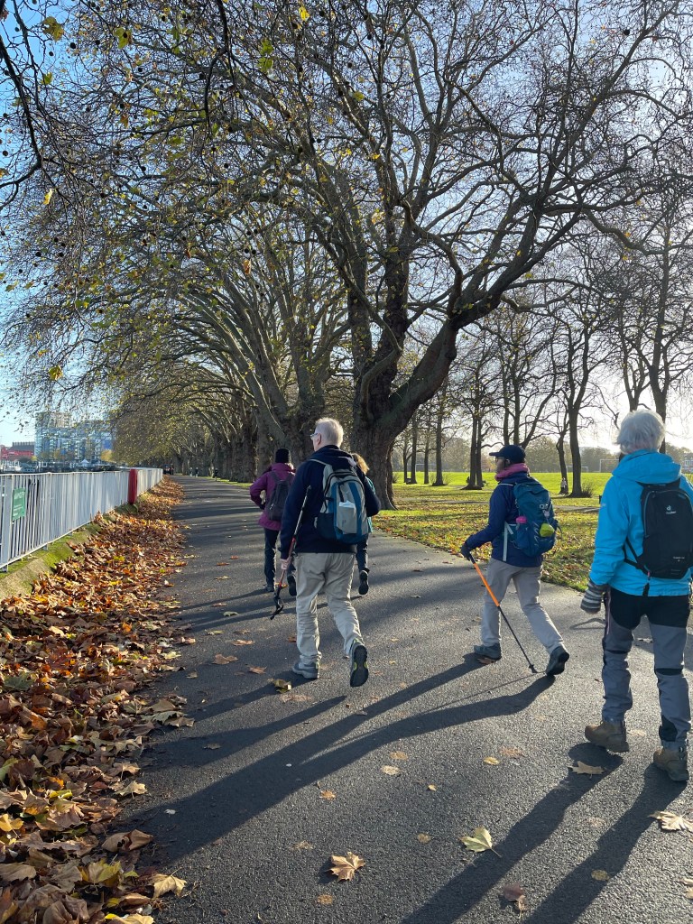
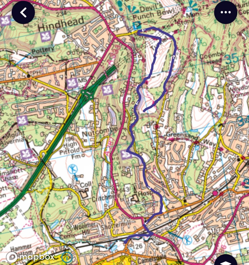
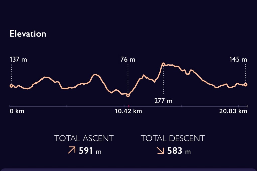
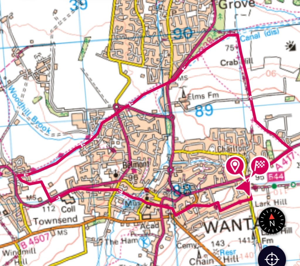
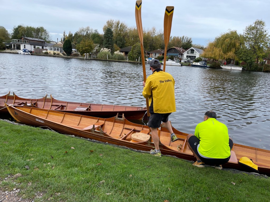
There were four of us and we started near Anna’s house. We headed in the direction of Harwell before following the bridleway along a new stretch of road , before our path diverted over to West Hagbourne. I forgot to start my watch at the very beginning as can be seen from the route map!!

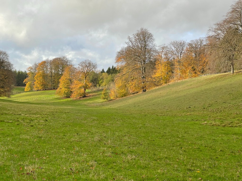
As we turn towards West Hagbourne we are on the ‘Driftway‘, one can only assume it was once more significant. The ground is a bit muddy but not too difficult and the sun counteracts the breeze that’s blowing. I’ve managed to order good weather for our first outing!

Our track turns left towards Coscote a hamlet but before we reach that cluster of houses we come to a great divide of paths with four choices! We are turning right and taking the right hand fork of two paths which leads us into the back of the village – not somewhere you would normally venture. We do come out onto the main roadway through the village and we have a few hundred metres where we have to take care. At the pond we walk across an old farmyard entrance and head out of the village.

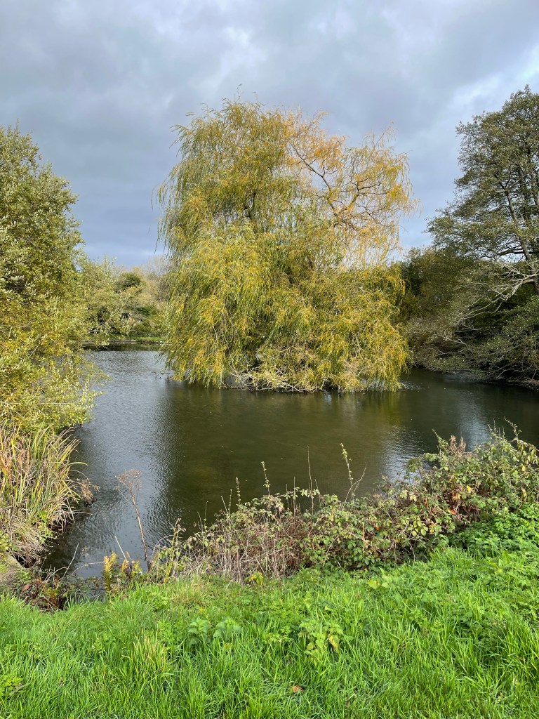
I can never go past this pond which is on a sharp bend without reflecting on the journey back from school one day when it had started snowing and my usual route was impassable. Having detoure, round the bend by the pond was – slightly tricky!! Glad to get home that night – about 1.5 hours or more for a 15/20!minute journey.

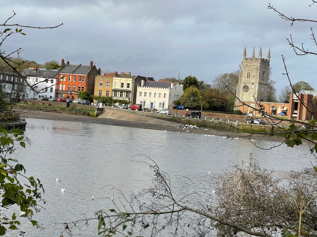
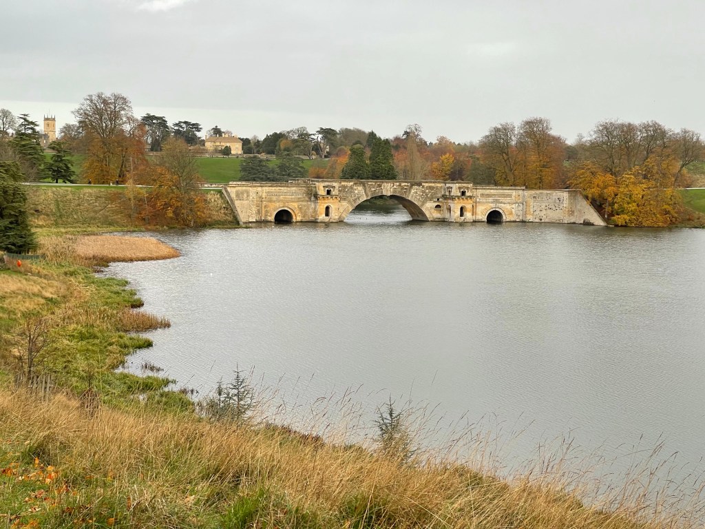
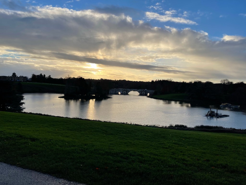
The next significant feature is the old railway track which we pass under. The track itself is used in sections as a cycleway. This is the old branch line from Didcot to Newbury. We are soon in Upton, a village I am more familiar with and everyone is quite surprised to see a church. This village looks very small from the main road but is in reality quite extensive – no school , this was amalgamated with Blewbury in the 50’s.

I’m able to point out one significant house built entirely of chalk, with a thatched roof and we make our way through the village to the Manor Farmhouse . It is good to see that this has been renovated and this whole corner of the village revitalised.

Our path takes us along the back of an apple orchard. Until about 5 years ago this orchard used to supply the cider which was sold from a shed adjacent to the main road – no longer. The apple orchards used to be much more extensive in this area along with the cherries grown around nearby Harwell. I believe this is because of the layer of greensand and the area being in a dew dip. 

We are following the coffin way across to Blewbury and become involved in a conversation as to the derivation of the name. I guess that at one point Upton didn’t have a church or cemetery, Blewbury has had a church at least since the 11 century and possibly before.

We emerge onto Westbrook Street and we have agreed I’ll do a bit of a tour. We cross and go down by one of the cob walls, we meet the Brook where there are still signs of the watercress once more extensively grown. There is a wonderful collection of old houses in this area as the path meets Nottingham Fee. Houses which are thatched, timber framed with a medley of brick pattern infills, fire insurance signs and much more. This area was once one of the three manors of Blewbury in medieval times. It was a large village even in Saxon times and had a big population in the Domesday Book.

Out on to the main road – the road to London and evidence that this was once a turnpike road. By the pound we discuss the Saracen Stone that was put there to mark the millennium with it’s time capsule underneath. The children at school enjoyed contributing to that. As there are no public toilets in Blewbury we decide to go to ‘The Blueberry’ for coffee and …

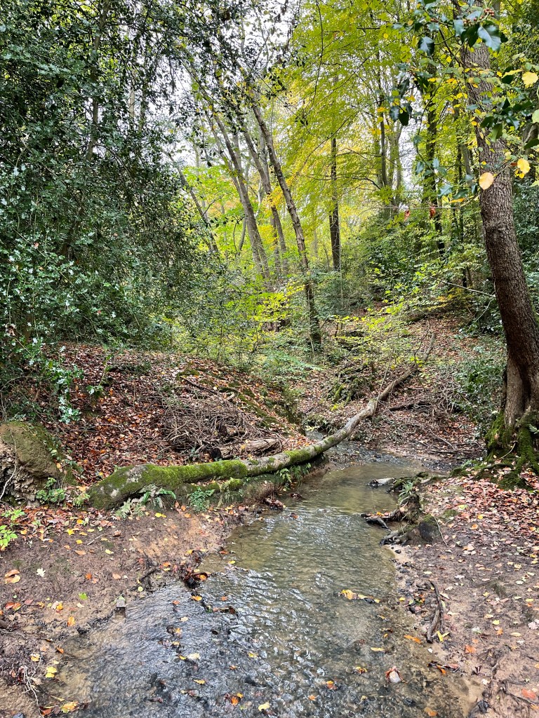
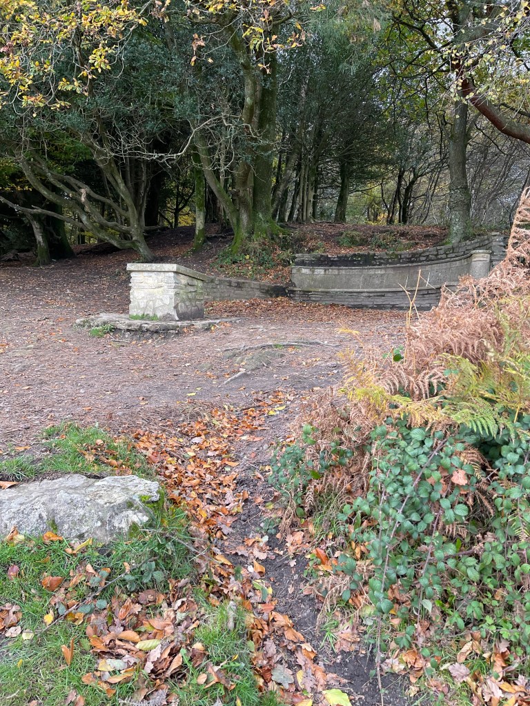
After a quick break we back track a little and take a path down to the Cleve. A strange shaped water area , fed by several springs, which notably has a black poplar on a very small island. We think we saw an egret but questioned ourselves. There have since been reports of one residing in the village. Next around Spring Land to the Church and the old school.

The house which was built as a school in 1709 became a home again after the new school was built in 1963 and 70. William Malthus made an endowment for the school in 1707. Continuous education for 316 years on the 25th March – Lady Day. This is one of the quarter days when rents were due. The original pupils, all poor children were educated to provide clothing by weaving a green cloth and to become apprentices to local trades. As well as receiving a minimal education they received 1d a day, 6 days a week and for 40 weeks of the year. Now across the playclose, having walked passed the church, back over the Brook and we come out on Westbrook Street just below where we had emerged from Upton.

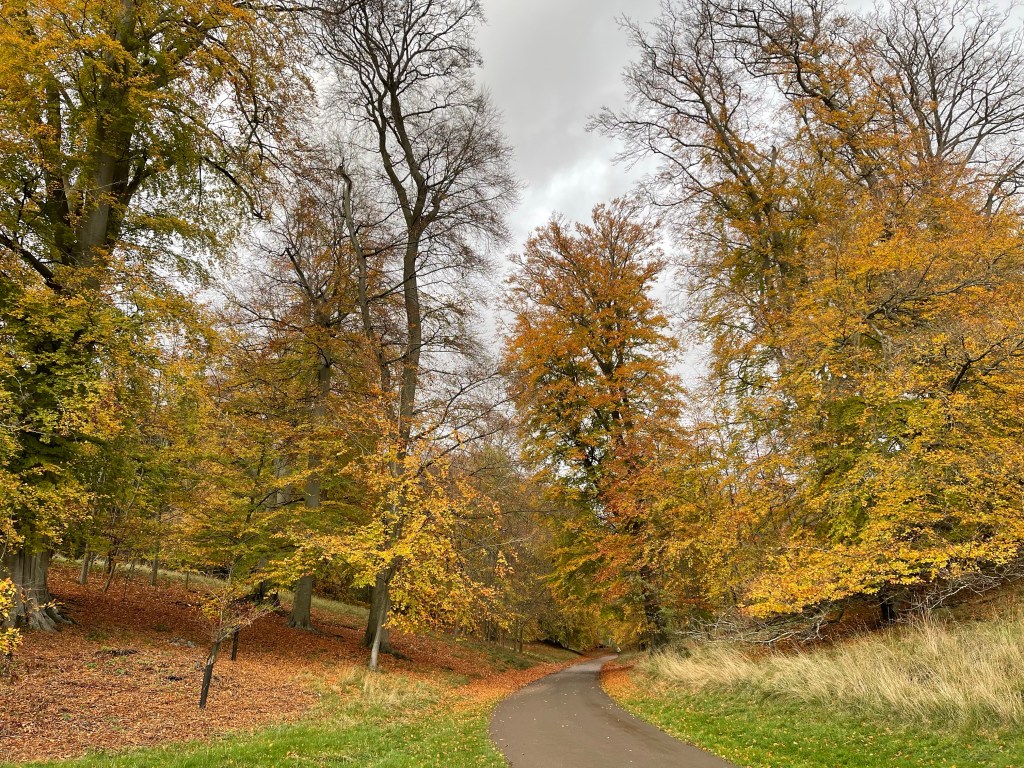
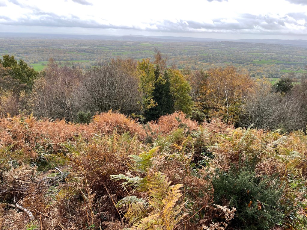
We leave the village by the village hall and follow a concrete track to an area once designated as a sewage plant – now being converted into a nature reserve. The most interesting thing of note along here is the sign indicating the site of a Quaker burial ground. Quite an exposed section as we cross fields to the outskirts of East Hagbourne. We stop and have lunch by some stiles in a sheltered corner. As we reach the next village we turn left and skirt along a wooded area until we turn right to go alongside the church – all of these last three are in the same benefice. Just a short way through the village before we turn up Shoe Lane.

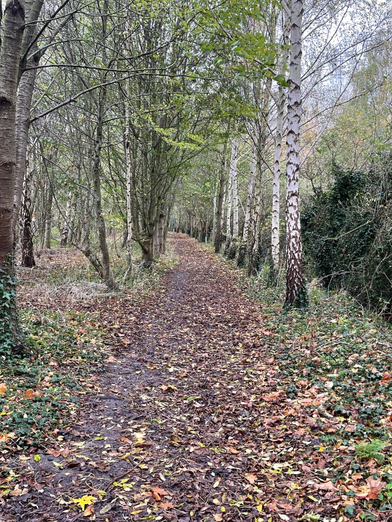
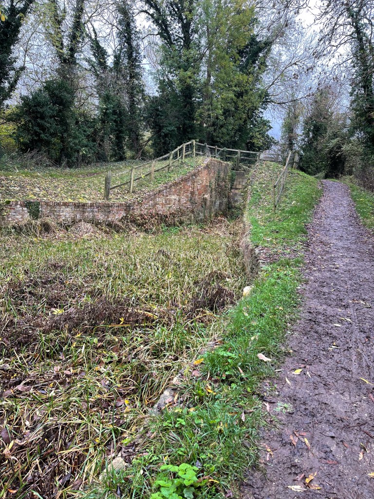
This pathway cuts through parts of the village I hadn’t seen before and joins up with the old railway track – designated as a traffic free cycleway. On our right is a large playing field complex and I realise it’s the one that belongs to St Birinus, the boys school in Didcot. Remember several visits to this with football, rugby and cricket teams. We turn to cross the hump backed bridge over the railway, I remember driving over it in the minibus! We then decide to change our plan and back track a little so that we go under the bridge and along the track. This takes us to the edge of Didcot town. Left and down to the Orchard Centre where Betty can catch her bus back to Abingdon.

The rest of us go through town and then divert to go through part of what would have been the village of Didcot before the railway arrived. Past old farm buildings next to a busy through road and back to our starting point. Three of us walked about 10.5 miles, Betty only 9.5 but she made up her extra mile at the end of her bus journey!

A further 50! Walk 37 – 12/12/2022

So a bit of a different walk today.

Since finishing the Thames path which I really enjoyed both for the walking but also the opportunity to lead there has been a lack of walks and yet another cancellation.

All the walks I was scheduled to do in December were cancelled and even more a trip to Malta rescheduled from November to January was also pulled – This combined with Christmas preparation has meant very little walking – the least since I started my blog having been revitalised by my hip operations.

This walk is one I wouldn’t normally include but the climatic circumstances were such that it seemed appropriate.

A trip to London with a variety of purposes, but with the added extra of the fact that it had snowed the day before and settled – not a common occurrence.

So this walk traces my determination to walk as much as possible and enjoy this unusual phenomenon. During the day I covered 12 km – not a huge distance but further than I’d walked for any day since the Thames Path.

The initial part of my journey was caused by an inadequate Bakerloo Line service which I had hoped to use to get me to the National Gallery. So the new Elizabeth Line it was to Tottenham Court Road – part one of my walk – wet pavements and a slight residue of snow. Odd seeing snow at Trafalgar Square, not a very good photo.

Into the National Gallery to see the Winslow Homer exhibition and rather impulsively decided to pay an annual membership – much easier access to exhibitions plus extras.

Next stop, lunch with my younger son in the cafe down in the crypt of St Martin in the Field. Refuelled it was time to head for Shepherds Bookbinders to buy paper for a particular project and of course be tempted by other papers! My chosen route was into the Mall and across St James’s Park. I’d not been in this park for a while. Many, many years ago when I used to come to the Girl Guide HQ in Buckingham Palace Road I used to be a more frequent visitor.

Having completed my next mission it was time to get back to Paddington to catch a train before 3.30 so that I could travel off-peak. Having looked at the map I decided my best route was to head up to Marble Arch and then through Hyde Park. More snow, more unusual scenes and a good hours walk from the shop to the station – much better than the underground!!

So as mentioned not a long walk but worth including for the memory of snow in London!

A further 50! Walk 36 – 26/11/2022

Day 15 of the Thames Path, the third day in this block. This was suppose to be the easy journey to London – quick tube journey from Paddington to Tower Bridge but no there was a strike! Change of plan and an even earlier start – Millets at 7.20 and we caught the 7.55 Oxford Tube (bus) to Victoria. Luckily both Victoria and Tower Hill were on the same line so that made life easier. Again good weather. So back over the bridge and ready to continue our trail. Good view of the Shard from near the Tower but still forgot to photograph the bridge!

The path initially leads through old brewery yards and warehouses, mostly now converted. This area must have been so busy and noisy, quite narrow walkways and high buildings, some joined by outdoor stairways and passages. We come to an area with several statues including this child. It marks the fact that a hospital or home was set up here to support the local population and their health needs.

We go passed the end of Southwark Park – is this where the queue started to see the Queen’s coffin? Next is Rotherhithe, I’ve see the name on the Dockland Light Railway but didn’t know where it was. Quite a significant place it would seem as this was where the Pilgrim Fathers set sail from- yes they did call in at Plymouth so you could say that was their departure point from the UK but this was their actual start.

A now disused round building marks the end of an under the Thames tunnel, probably once an essential means of getting to and from whoever the work was depending on which boats had docked. There are some large dock areas of water the Thames has curved right round and as we come opposite Canary Wharf we walk through a ‘City zoo’ and I notice that their is a Russia wharf woodland area. This was once so different. A wonderful piece of machinery that enabled a slab of roadway to be lifted to allow boats through!

A statue to a Russian Tsar – Peter the great , who came to learn ship building. near Deptford the path detours around a large disused area of land – very strange.

Lots to see but for the first time I feel a bit pressured. I’m aware of the time and how much further we have to go before the barrier and a tour. There is a long way to go until Greenwich which is my goal for lunch – we needed a coffee stop at the beginning but our time is a little compromised. We arrive at the Cutty Sark at just gone 1pm, more Christmas Markets and we find a small wall to sit on to eat our lunch. Another tunnel entrance, this one is open 24hours- quite fancy that. Mirella finds a loo upstairs in Nando’s, luckily they are very busy so we all manage to slip in and out!

I think some of the group think I’m rushing them but have already had to change the time of our visit, later but not too late as we have to get back from our obscure destination! We walk passed the splendour of the Old Royal Naval College buildings and I note this as another place I’d like to go back to.

We can see the 02 arena which is actually on our side of the river, the bends are so large at this point. Certainly not the most exciting part of the route, developed in places, in process in others and neglected in some. We’ve noticed lots of piers along this stretch and guess that during the week there is perhaps more river traffic.

The path goes right around the end of the arenas then starts to double back. Billboards are busy advertising this area as the Greenwich peninsular – apparently the new in place to live, eat and seek entertainment! Lots of stylish blocks of apartments and several statues as well as the landing point for the emirates cable car.

It’s 3 o’clock and our goal is getting closer – I said we’d arrive between 3 and 3.15 so we just have to press on down the path . Bit of a hiccup at the end trying to find the information block but I manage to find a phone number and our guide comes out to meet us.

Our tour is very informative and our guide very enthusiastic. Dark and much colder when we come out! There is a mural/ time line in a tunnel by the barrier which shows places we have been and she insists that the three of us that have done the entire 180 miles should have a photo!

Now to get back to Victoria. It’s gone 5.00 but I have researched and found that the Thames Link train from Charlton is running. Our helpful guide suggests we back track a bit then take a path to the left which will ultimately take us to the station. The local football team have been playing , the first group of supporters aren’t much help but then a more informed local points us in the right direction.

At the station they have closed stairs to platforms but we eventually find our way and wait on a very crowded platform for the next train – a fun journey with some unusual banter with some inebriated fans! All part of the experience, through to Blackfriars and then to Victoria.

Coach journey home was a bit of a nightmare and took about 2 hrs and 40 minutes .

Really pleased that I both attempted and suggested this for others. Enjoyed leading , not exactly hard navigation but others were pleased to have someone to make the decisions and to follow along!

What will my next long distance path be?

A further 50! Walk 35 – 25/ 11/2022

Back to Putney via the 08.17 train from Didcot again. So having emerged from the station we were back down to the river and almost straight away we walk through Wandsworth Park as it runs alongside the river. A pleasant start to the day. We have been so lucky along this path, with the weather. We are well on our way before 10.30 and as can be seen the tide is a long way out, a little different from yesterday’s excitement.

This is quite an interesting section as life has changed on the river -‘Ubers’ and several piers, probably not very useful at present! We have to cut away from the river for short stretches, partly because of large water inlets, probably once docks and also for building work. We walk passed Plantation Wharf, a rather evocative name which conjures up all sorts of smells, sounds and questions. Now used presumably for offices. There are quite a few bridges in this section both for road and rail. Interestingly even though it is much more built up it doesn’t feel oppressive in any way- just rather fascinating. Heliports on disused ground, cranes – so much happening. an odd mix of functional and decorative.

We continue round as we approach Albert Bridge and can just begin to see the iconic towers of Battersea power station on the horizon. On our side we have Battersea and across the river Chelsea, areas change in popularity and prestige. Albert Bridge looks splendid as we approach the edge of Battersea Park. Comfort stop needed so I google public toilets and some of us divert to a parallel path in search – by the zoo but not 5* !

Not sure what will happen at the power station, the path even on the digital map goes round the back but as we approach, on the ground we can pass in front. ‘Glide’ Christmas fun and an ice rink but sadly no way to continue so we have to go alongside this massive buildings then round some building sites- hopefully in the future! Note to self to go back and explore, really want to get the lift to the top of one of the chimneys

As we walk the next stretch there is a familiarity. Pimlico, Tate Britain, Lambeth Palace and more bridges each with their own style and flavour. So much more could be captured photographically along this section but we still have a way to go and a busier path. So good to see the Houses of Parliament from a different angle and although includes an old section I rather liked the contrast of Lambeth Palace, and the intensity of it’s colour.

As we were approaching this section there were more people stopping and taking photos and we had to work harder to keep together as a group. The memorial wall for Covid deaths is something which gives a stark reminder of the last few years and volunteers are continuing to paint and repaint hearts.

Going over Westminster Bridge onto ‘Southbank area’ was quite an experience, amongst them a feeling of being dressed inappropriately for the time and place! Christmas Market stalks, musicians, families, huge queues for the eye. Definitely no real time for photos. We agreed to wait at the foot of every bridge incase we got split up -even that was quite difficult in this buzz of people. I did manage one shot looking back – just before 2 pm and the sun was already low in the sky.

More Christmas stalls, pop up bars, a closed down design centre , lunch by the Golden Hinde- a rather impromptu gathering but a while since our morning snack stop. Remembered when this replica had sailed into Falmouth and I had followed it on the yacht I was on. So much to explore in this area but not really time on this walk. Wove our way round the back by Southwark Cathedral but no time to pop to Borough Market! I realised that I’m quite familiar with this area and able to identify several important landmarks. Always like the Globe Theatre and looking across to St. Paul’s Cathedral.

We are soon at Tower Bridge which bizarrely I didn’t photograph. We cross this on our way to Tower Hill which will start us on our rather arduous adventure home. Two underground stops in Putney so first to establish which is closest to the train station. After a bit of research we decide where to get off which isn’t next to the overground station- miss a train , next delayed wish we hadn’t headed for Richmond and then at last are on our way home.

England World Cup match tonight – have to drive to my friends to watch it and miss quite a lot of the first half – got there for food !

We all agreed this was another good and interesting walk. Can’t quite believe we’ve nearly finished! 22km today to the bridge.

A further 50! Walk 34 – 24/11/2022

The last block of the Thames Path and the first of three days walking. Also the first of three days travelling to London. The 08.17 train from Didcot stops in Reading and here we did a quick change to the stopping train through to Waterloo, although our journey was to Twickenham. Nearly missed it due to some coffee buying, by some group members!!! At Twickenham we needed a bus to Teddington, luckily a stop just outside the station and we were off, a rather slow route but dropped us quite near the lock. So crossing the bridge over the river to rejoin our south bank path, 2 hours and a couple of minutes after leaving Didcot.

So lucky with the weather again. At the lock we catch up with the information boards and we’re reminded that the Thames has now become tidal and that there is only one more lock, at Richmond, only used at Low Tide. I think we probably missed the obelisk which marks the change in jurisdiction between the Environment Agency – freshwater river and the Port Authority for the tidal part.

Our side of the river which curves a lot at this point has quite a rural feel – Ham Lands Nature Reserve and we are walking through a pleasant avenue of trees. We are looking out for Eel Pie Island which had quite a reputation on the music scene several decades ago. We realise that the bridge over to it must be on the much more populated Twickenham side, at one time there was a rather notorious ferry service! Shortly after the island we can see Marble Hill House, the first of several grand buildings along this stretch. The tide looks quite low at this point, the first time we’ve seen it like this.

On our side there are signs for Ham House another important building owned by the NT. As we round yet another bend some large buildings become visible up on a hill above the River. We realise that it’s Richmond Hill. The building to the right which is quite distinctive is the Star and Garter Building – https://starandgarter.org/about/our-history/

The terrace is older probably Georgian, I reflect on the fact that I’ve been in this area having a drink from a pub that overlooks the river, a view famously captured by JMW Turner – one of my favourite artists.

The river soon comes beside a more inhabited stretch for the first time today and we take advantage of some benches for a snack. We muse at a sign on a pub wall which advises the use of a doorway which seems very high up, during high tide. The reality of this would become apparent later in our walk. As we leave Richmond I spot these ‘lock ups’ – I find this kind of industrial architecture quite fascinating. Were they built to store boats or goods in a time past, their own rich history lost?

Our path curves in a big loop round with the old deer park and then Kew Gardens are on our right. To begin with not too much to see but eventually we can glimpse in as the wall is lowered and seats provide a viewing spot to a significant house on the opposite bank – Syon House. The map also suggests that this was the site of a battle in 1642 – the start of the English Civil War. Before we reach this grand house it is possible to look across and spot Isleworth – a village consumed by Harmsworth!

We pass Kew Palace, once of royal significance and then it’s under Kew Bridge. We wonder about coffee and lunch but no where is obvious. Interesting to be in this area having stayed by Kew Green and visited the gardens several times, a completely different perspective from the river. We almost back track on our selves heading south again as the Thames continues its loop. We pass the National Archive Centre – I wonder how many secrets are hidden there. Next we pass under Chiswick Bridge, we have noticed that the tide is coming in but we’re perhaps a little preoccupied with the need for a toilet stop. We arrive at a pub next to a slip way with the water creeping up it. We spot a sign which points to community use toilets down a road which is a continuation of the slip way. At the same time a fellow walker comments ‘ You better be quick or you won’t get through’.

Having walked up this side road into Mortlake we find a sign pointing us back to the pub we have just left. However there is a pub on the corner and although they weren’t very hospitable we did manage to use the toilets- not so many places for ‘a wild wee’ now it’s more built up! On returning to the river the puddle was over ankle deep on the path and growing. We had to return to the main road and walk parallel to the river. There were several places where there would normally be access to the river path but no luck- good job we didn’t try to wade through the first puddle! We even tried at one point and then found the far end of the section was blocked. Eventually as the road ran closer to the river we were able to follow the path that led under Barnes Bridge, a railway crossing.

We concluded that it must be a particularly high tide; this situation had really surprised us. Barnes is enclosed on two sides by the river as it bends in a tight loop again. Lots of signs to a Wetland area – quite s few things you could explore further along our route and also an urge to walk on the other side and look back across. We reach Hammersmith Bridge which is now closed to motorists and was at one time also closed to Pedestrians. We also notice a ‘tide mark’ where the water at high tide has moved the leaves on the path.

Nearly at our destination for the day, we see the grand stadium of Fulham, at Craven Cottage, next to the river and shortly we are arriving at Putney Bridge. A rather grand and probably quite old rowing facility. To finish our day we need to walk up through the Main Street to the station and catch a train to Twickenham and from there back to Didcot via Reading. We did get home but it took longer than expected as there were some trespassers on the line near Waterloo. All part of the experience.

A further 50! Walk 33- 20/11/2022

A walk that I should have done slightly earlier in the season to have got the best leaf colour and somewhere I haven’t explored properly in a while.I headed for Woodstock with an aim to walk in Blenheim Park and combine it with visiting the Oxfordshire Craft Guild Winter Exhibition.

Not a good start – no spaces in the car park – whilst electric charging points are becoming more important it is frustrating when they are empty and there are no other spaces!!!

I continue along the road looking for somewhere to park – double yellow lines in abundance. Ultimately I find the secondary school and checking that there were no gates or barriers that might close before my return I pulled into a parking bay at the front of the school. Now for the trek back to the town and my ‘secret’ way in to the park. Well not actually a secret but a rather discretely signed Public Footpath which looks as if goes through somebodies private gate.

Bit of a confusion as it suggests on maps inside that some paths are closed but I still set off in an anti-clockwise direction, thinking there must be a way through to the path that cuts across the far end of the park as part of the Oxfordshire Way.

I start near to Queen’s Pool, walking at first close to the water and then branching away. Even if some of the leaves have left the trees it’s good to see their richness of colour and still evidence of autumn fungi.

I keep heading in a northerly direction but to my dismay come across rather persistent Harris fencing which bars my way forward. I have to admit defeat and double back to where I originally entered the park. A view of the monument through two lots of fencing which enclose a purpose built track – developed as a part of dredging the lower pool of the lake! This must be necessary but rather ugly!

So as if starting again I set off as if I had turned left from my entrance rather than right. Firstly past the little bridge which in my memory I should have found earlier but realised that’s because I hadn’t used the gate from the town . I head up towards that path, many more people around and I can see lots of cars parked on the horizon possibly visiting the house. I decide to walk around the lake not on the high solid path but cut down across the grass and get my first sight of the main bridge- an iconic bit of architecture with hidden rooms below water level! The main house is equally pretentious built for the Duke of Marlborough after he had won a series of battles but it’s grandeur was orchestrated by his wife, a close friend of Queen Anne.

I’m soon at the bridge and cross to the other side taking a path way down towards the main lake and my path which leads around the water whilst not being directly next to it.

Towards the end of the lake I spot a Great Crested Grebe and then chose to take the right hand forkas the path splits and I pass through a valley still showing its colour. I choose to continue on this track towards the northern end of the park until I reach the farm before I have to turn right and then take the long stretch back towards the monument. Unhindered this time by fencing. I make a vain attempt to capture the pheasant on a fence thinking it might make a good festive image but it didn’t oblige.

There is a real grandeur about this monument and its inscriptions round the base, with the two double rows of trees leading you down towards the house. All that was left for me now was to retrace my steps over the bridge and by the lower lake and leave the park by the town gate so that I could visit Craft Exhibition in the museum before refinding my car!

A slightly frustrating walk today which I managed to make feel worthwhile. Just under 15km covered so not too minimal.

A further 50! Walk 32- 11/11/2022

Just a short walk today and staying in Surrey. Bit late starting my walk today as I’m not sure quite how the day will pan out. Decided to go up towards the Devil’s Punchbowl. I wasn’t sure where to park so drove up Lion Lane at the Shottermill end of Haslemere. Just as I was beginning to think this wasn’t going to work I found a lay-by almost at the end of the housing.

I started by walking up the road and then realised that there was a path into the large green area which ran parallel to the road. I turned to look back and was pleased to see the colour on theses splendid beech trees.

The path comes back to the road and I cross into the Polecat valley area. Not a real plan as to my direction or how long I will be walking for. I walk on the path that I think is taking me almost north and when I check the map I realise I’ve gone diagonally. I’m near to the main track from the car park and I discover that my lunch meeting is going to be much earlier than I thought. So a quick re plan of route.

I decide to take what looks like a wide track down the middle of the valley and then join with the main track on the west of the valley. Good plan to begin with and then the path got very narrow and rocky- so not quite as quick as I thought. Good views from this direction.

The path down to the car once I’m on the road is quite quick but I don’t stop at the car and continue down the road, find the track again once I’m under the railway bridge. I’m on my way to the Mill at Shottermill.

So only a short walk compared to my usual walks but very warm, some good and interesting paths and still leaving more to explore in this area. 9 km although there was more on the way back to the car which I haven’t recorded!

Forgotten to record the route to begin with so the actual start is just before the end of the housing.

A further 50! Walk 31- 10/11/2022

So off to one of my favourite places, so glad I’ve been introduced to walking in the part of West Sussex not that far from where I grew up – it’s really beginning to have a comfortable feeling. The hilly nature is a great challenge and I can’t resist choosing routes which have me going repeatedly up and down hills – a good work out. So this walk was from close to Haslemere Station and back again and was about 21 km long but with a profile which had extensive up and down. The highest point also being the highest point in West Sussex!

So along King’s Road and eventually reaching the road to Midhurst, across and down the little path that runs below the railway line and above the stream that is probably a tributary to the Wey. I notice on the map that this area is called Springhead. It looks tempting to walk closer to the stream but also rather damp today so not a good start to my walk. Some good fungus though and pleasingly still colour on the leaves. I was really hoping that was the case as there are so many trees to enjoy in this area.

The path comes out close to the railway as it crosses over another road and I’m by the ponds at Shottermill. The pub is even called the Mill and the ponds were probably created as a means of controlling a flow of water to the mills in the area.

From across the road the track leads down between Camelsdale and Hammer and soon the magic of the area is apparent – not a hollow way but a wonderful track and one that I recognise I’ve been down before.

I turn right onto the Sussex Border Path, always feel quite excited when I walk on this but my route today doesn’t take me on it for very long. One of the elements I like are the way the trees create a border with their trunks and roots. Sometimes they have a sculptural perspective. also pleased to see some exciting looking fungi, like steps up the tree.

I continue nearly into Linchmere but take a sharp turn left and realise I have walked this section of path before. Today I am going across Cognor Wood and the side of the wood will rise up steeply to my left. I’m cutting across this hillside for a couple of kilometres before I skirt the top of a sharp valley and start heading south again. Haven’t spotted any deer today – still hopeful. I will come out by Kingsley Copse and then Van Common.

Having come out on to the road which leads through Van Common I’m not going to go down passed the lovely Sussex house with the grand duck house but cut through to the left on a path I haven’t used before. This takes me behind houses and next to the school- I think I can hear an outdoor PE lesson – do miss teaching those! This track which I have seen people come out of when I’ve been driving past to Petworth is above the village of Fernhurst and opposite the road to the Red Lion Pub, the village green and the recreation ground. although I’ve driven down this road many times but I’d failed to notice this little cottage. Brick work like this always makes me wonder who was trying out the various patterns!

I easily spot the path I need that goes alongside the pub as I’ve been this way before on my way to Blackdown – the highest point of my walk today. Very up and down but I do enjoy this aspect! I remember this steep stream valley from last time – a little more water today.

The path eventually takes me up to Ferndean Lane. Last time I came this way I took a route up to the top from here. Today I have a different plan! I meet a couple who are a big off track – they are following a sketch map and have just come down from the top too soon – I help as best as I can. They are about the first people I have seen today once I left the town. Today I’m going along the lane and had initially thought I would take the track down to the parking and then cut back up but realise I’m better staying on the lane. I’ve purposely included some lanes today incase if was very muddy so that I could complete the distance before dark! In fact it hasn’t been to bad considering the amount of rain that has fallen and the areas of flooding on the roads near Haslemere. I follow the wall to the estate and on a sharp bend the main gates into the Blackdown Estate are visible. Quite a view.

My route today will take me from the lane up the steepest side of Blackdown and although a little hidden it soon becomes apparent that I’m on the right path as if zigzags up the steep hill. Quite exhilarating and then my goal, the Temple of the Winds – reached from a very different direction this time. Difficult to tell you are nearly at the top until you pop out having taken one of various paths that suddenly appear near the summit. And then of course you turn to see the view, appreciating that you started way below and out of view!

There are such a maze of paths on the top that it takes some determination to find and keep to the Serpent Trail and the path that I want to take me back down – appreciating that I have quite a long way to go! Eat something quickly and find a good bush – you really have to watch out for dog walkers up here- having had a very solitary walk I am now not alone. Quite a grey day although no rain but it will mean that the light will fade quickly.

I cross over the top of the down and come out near the car park where Tennyson’s Lane does a sharp turn and then is a quite an ever descending road down through a wooded area, before I leave the top I do spot this fungus – not the very best of specimens but one of the best I’ve seen this year.

My route along the lane does eventually turn left along a track which sweeps round through quite a ‘horsy’ area and then through a last bit of woodland . Couldn’t resist this next shot – is it a face?

The track eventually comes out almost below Haste Hill- I have walked along the road back into town once before from this point but today I’m crossing the road and following the trail a bit further. After a short while I come to a plank bridge over a ditch and join a path I’ve walked before. I cross an open field and then I am behind the allotments. I over shoot my next path and have to double back – I could have just carried on but I did that last time. The track takes me across some fields and then to a car park which I wasn’t quite expecting. Through to the High Street -again wishing to avoid the traffic I go down West Street and find a back way though – note quite as I had intended – and make my way back to the station. A bit before 4.30 and the light is fading but feeling that I’ve had a very good walk.

A further 50! Walk 30 – 07/11/2022

Just over a week since going on a proper walk and decided to walk from home – the weather was a bit mixed and at one point near the beginning was sideways rain! However I persevered and dried out!

I decided to walk on the new footpath out of what used to be the boundary of Wantage – I wonder when they will move the sign announcing arrival in the town. This takes me past the first of the two estates where not so long ago there were fields. The second road does go down to the new school but there are also signs for a cafe – which I might investigate. However my signs for the path arrived before I found it, so next time. As I turn right and follow the track I cross over workings for the new road and there is a sign for the cafe, so I could have risked going that way round- This road is taking a long time to build!

I continue on until I reach the intersection with the old Wilts and Berks Canal and today I’m turning left. The canal is just about visible but very overgrown and although the avenue of trees is probably quite new I’m reminded that for a period in history this route would regularly have been trodden by horses and their leaders. At the first bridge that I come to it’s possible to see the rounded grooves in the brick were the ropes attached to the horses have worn hollows as the barges passed under.

A bit further along and an area I had missed last time I was near here. Lime Kiln Lock -again a reminder of a very different life all too easily forgotten and that industry even of a more gentle nature pervaded rural areas. There is probably a link with the numerous pits and small quarries below the Ridgeway. Providing a means of transport to Abingdon and thus the Thames or links westward. The lock appears to have also had a large basin, now overrun with bulrushes.

I’m now approaching another new development near the old airfield and extending the Stockham complex. Although there a signs of the canal all the way through it doesn’t become as apparent again until the section that leads to Challow – one of the areas that had extensive work completed on it a few years ago. Sadly too much building and reclaiming sections into private property has happened to ever make it navigable.

This is a great stretch to walk and comes out onto the main road in Challow, almost immediately I cross the village hall car park to take a footpath I haven’t been along for a few years. The start is the same as always but this again comes out into another new housing estate. This one almost joins East Challow to Wantage, the former being a village which has been much expanded in the last ten years. The extent of this type of building work has tremendous affect on infrastructure – no shop, no pub when once there were two and a village school which is now much expanded. So that’s the third new estate I’ve walked through today.

Back into town via a back way and down the Platt to the ‘Brook’ – a diverted stream from Letcombe Brook – to run the Mill. Clark’s Mill that produced Wessex Flour which is widely distributed has just closed down after very many years. My path takes me up towards the church and across this iron bridge. So many people have crossed this over the years – some probably on their way to the mill or like myself years ago accompanied by children to feed the ducks. Even after crossing many times myself I had never noticed the end posts and there fine design.

So to continue to home I passed along Church Street and passed the Vale and Downland Museum with it’s fine sculpture of John Betjeman who was at one time the Poet Laureate and for a while resided in Wantage. I cut through Post Office Lane and then up Trinder Road to come out by the Scout Hut – frequented quite a lot in previous years – now I only go for voting, and come out on Spring Road to come out opposite what for many years was a secondary school site but is now a huge new housing estate. So that’s the fourth in my travels today! Do a bit of up hill and then along a road which means I have to turn again and go down hill to home – good to have a bit of undulation! Not so long today only 9.5 km!

A further 50! Walk 29 – 30/10/2022

So the fourth day of this block of walking the Thames Path and today we are going from Shepperton to Teddington. Sadly no Jenny as she’s feeling a bit uncomfortable, we have been transported by minibus and it’s obviously a repeat journey from the night before which makes navigation easier and there are toilets in the car park!

One of the elements we have found interesting as we’ve progressed along the river are the information boards by each lock. These ones at Shepperton don’t disappoint but we can’t linger too long as the clocks have changed and it will get dark earlier tonight.

Having walked about a hundred yards from the car park I’m keeping my fingers crossed for the ferry to be open- if it is it will save a long and boring detour away from the river. We’re in luck and the ‘ferryman’ urges to get on the boat – he goes back and forth on demand, including taking children to school! £3 a person but I suppose he does have to maintain his boat- all too quickly over and we are in Weybridge and about to walk along the other bank.

Not sure the weather is going to be quite so kind today, as long as it doesn’t rain! We start with a great deal of open ground next to our path and lots of people out for Sunday morning walks and a variety of boats on the river.

We soon approach Walton on Thames and again we find evidence of a previous life on the river which was more commercial and less leisurely. We are walking alongside houses for a while but as the other side is quite open it still has a feeling of ‘openness’. We have Anna’s husband Andy with us today so we are still six. We notice a rowing and skiff club but we’re not sure what that entails. A little further along and our question is answered as another boat house was opened up and people were busily gathering oars. Fiona found out that these wider, more stable boats are often preferred by older rowers!

As we pass through this built up area we now have water processing works on our right and it is possible to see from the map that there are several large reservoirs. Not much sunshine but the water is still and the reflections look good. We get to Sunbury where there are a set of double locks, in parallel rather than series. One is the old manually operated version and the other a new hydraulic style.

We notice an impressive building on the far bank and note that it is annotated as a Water Works – we wonder if it still has its original designation or has long since been updated to smart apartments. We are noticing more house boats, of many more designs. Several square cuboid boxes on a platform as well as an increase in vessels that have been extended upwards. We can see a distinct church on the horizon- this is Hampton Church which can only mean we are nearing the palace. In addition to the rowers and canoeists we also now have sailing dinghies on the water.

One disadvantage of this type of more built up locality is that ‘comfort breaks’ can’t be quite as ad lib! We find a cricket / sports club that is open for refreshments and we use their facilities and some also end up buying drinks, biscuits etc. we had planned to eat at Hampton Court but we are now running a bit late and we are getting hungry. We press on and have to go up to cross the river- the traffic always seems busier when you have done a quiet stretch. Typically there is no where to sit as we approach the palace and sitting on the wooden fences is prohibited! We eventually find a suitable spot to enjoy our much needed lunch!

The Thames bends around the park which continues to be enclosed, with a few ways in for people working in the grounds but not for public entrance. It was a good site for the RHS flower show that I visited earlier in the year.! Trees line this wide boulevard next to the park and one can imagine it having been an area for promenading for many years.

We cross the river again at Kingston upon Thames Bridge and leave Surrey arriving in Greater London. Not far to go now until we reach our goal for today Teddington Lock – well nearly. Built up again in part next to the river but still a feeling of serenity and space. More boats moored again in this section but these are more expensive leisure cruisers and not house boats which proliferated as we approached Hampton Court. Having contacted Jane we were warned of an impending shower and we did get a few spots but really not much at all- we have been so lucky.

Now which side of the bridge will Jane be? We eventually managed to pinpoint where she was and it was on our side of the river. We will save the bridge for next time when we arrive from the station. The river will soon become tidal so that will be different and at this point you can choose whether you wish to do the north or south bank route. We are taking the south bank but it does dangle the idea of coming back to walk the north bank!

Luckily not quite so far today, 18.5 km / 11.5 miles.