After too long a gap I went on an actual walk today rather than just a walk into town for an appointment or to visit the shops.
It was just one of my classic walks from my house and I wouldn’t necessarily have included it if it hadn’t been for one major aspect.
Having had a break for a few different activities after Madeira I then had a rather nondescript week and having made myself go out for a walk I realised how much better and positive I felt.
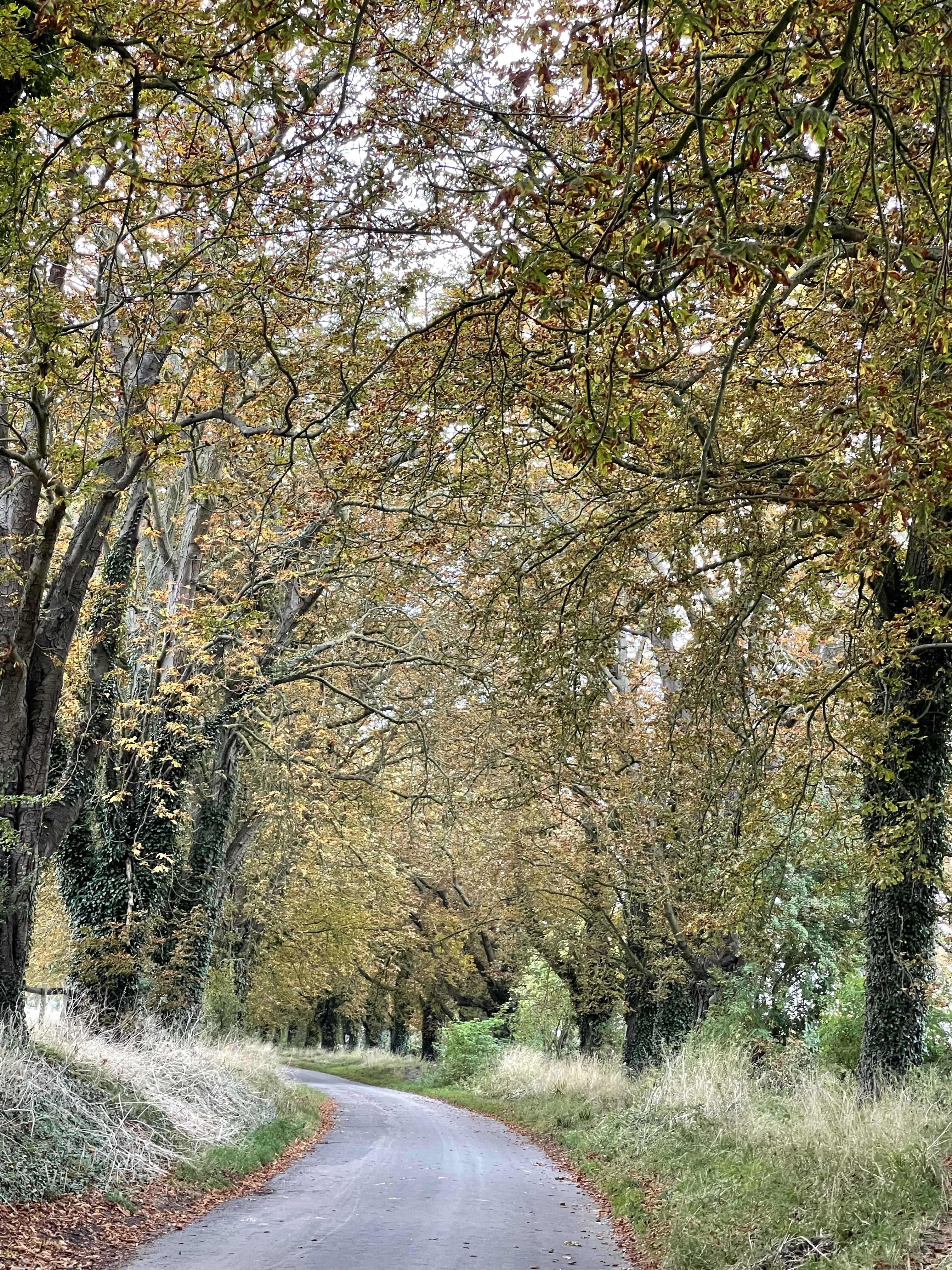
So I walked down the lane and as I neared the end everything looked wrong and bare. To say I was taken aback doesn’t really explain my amazement- all of the trees in ‘Conker Alley’ were gone!!
Further along there was a large lorry and a machine shredding tree trunks quite daunting to walk passed.
Then on passed the stables, ‘Best Mate’ and round to Lockinge Church. Some amazing autumn colour.
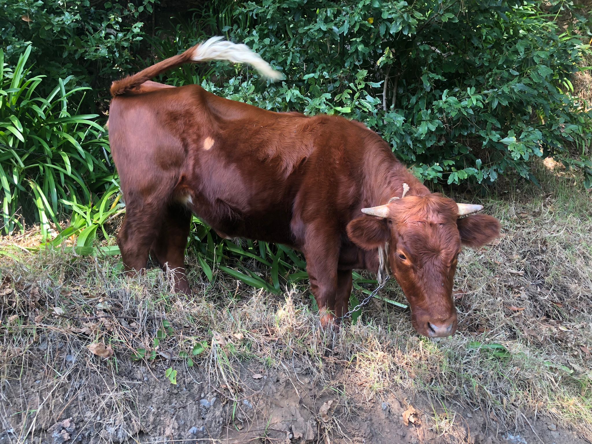
Some of my favourite trees as I head towards Barton House and Ardington. A swan posing as if it knew I was coming by and then a rather glorious brown bullock.
I decided that as I felt quite invigorated by being out that I would continue my walk to complete the circuit but not include going up to the stones as it would be getting rather dusky when I returned to ‘Conker Alley – no more!’ I knew that if I had to walk up on the bank that there was quite a lot of debris and bits of branch as well as conkers.
It still came as a bit of a shock as I approached from the far end on my way home. Yes there may have been some disease and a branch or two had fallen during a recent storm but this action did seem a little extreme.
Good land management or just avoiding litigation ?
Much to my shame I realised I hadn’t taken an actual picture of the lane since March 2020 – such a familiar site I had taken it for granted.
So my walk today was one I had done on several occasions and was about 7.5 kilometres but was different in a rather unusual way!
Today was to be the last real walk in Madeira and definitely the most challenging. Views on websites and in publicity are the types of thing that can fill you with wondrous expectation or trepidation!
I guess my inner fear was that I wouldn’t be able to achieve the demands of this trek. I knew once upon a time it would have been well within my capabilities but that was then and now with new hips and considerably more years, could I meet the demands.
I will make no apology for using photos from other people in the group to try and capture the experience and our joint venture – it will soon become apparent that this is out of necessity.
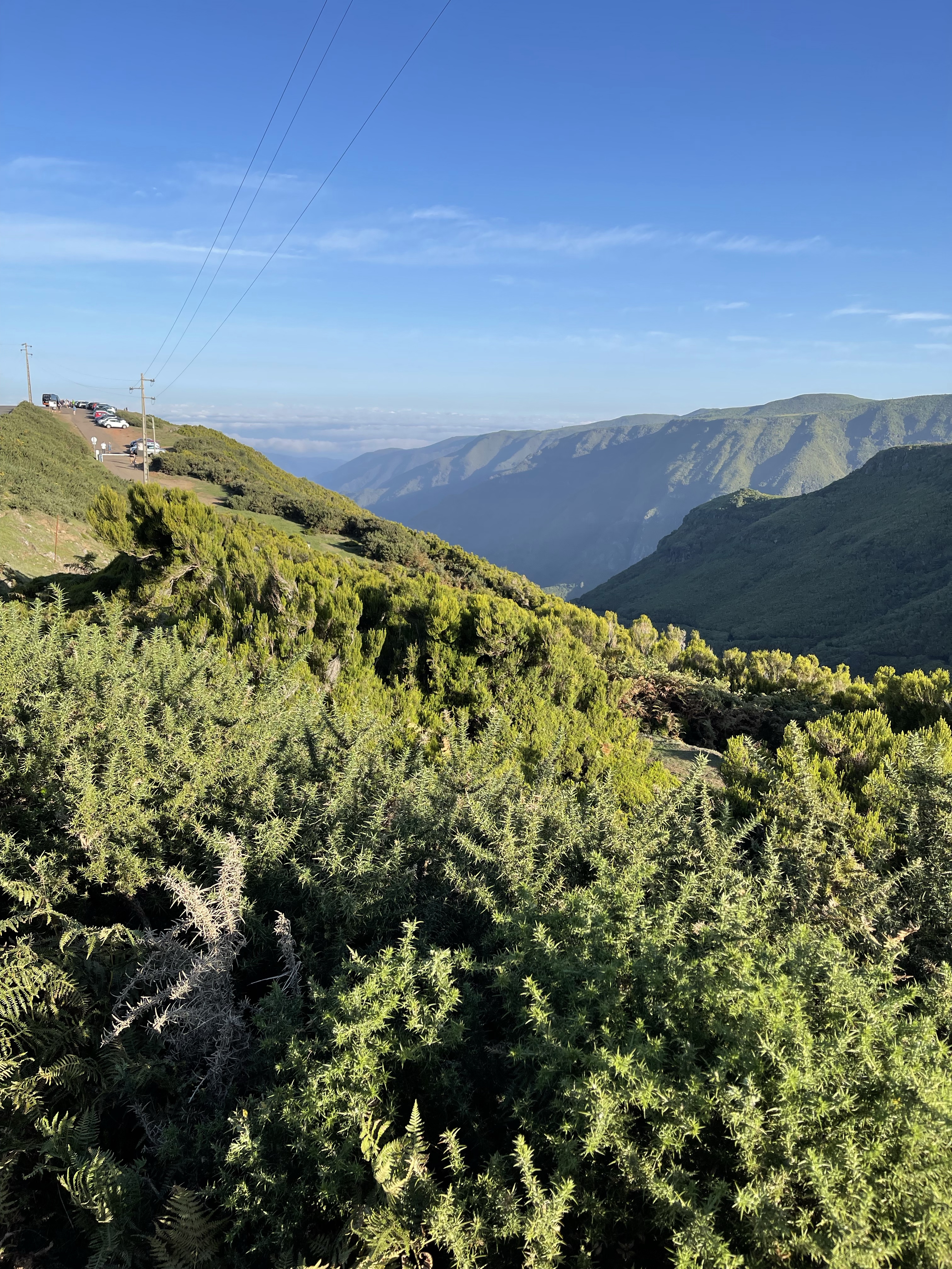
The day started sunny as usual as we left Funchal and drove very steeply up into the mountains behind the city – so many hair pin bends – we painfully followed a small truck for quite a few miles or perhaps I should say kilometres! No further to go and we arrive at a parking space with a shop and a cafe.
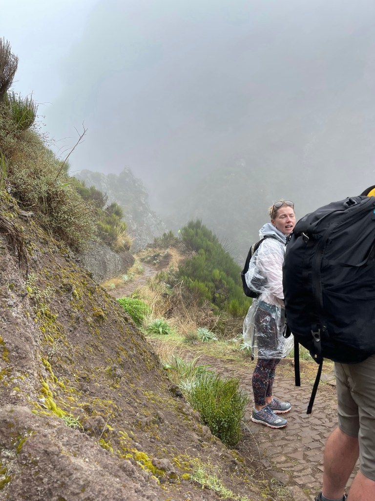
There had been much discussion as to what to take. I held out with my waterproof and a fleece in my bag- there was no way that I would walk at around 6000 feet with any less. Before we had even set off the mizzle had started!
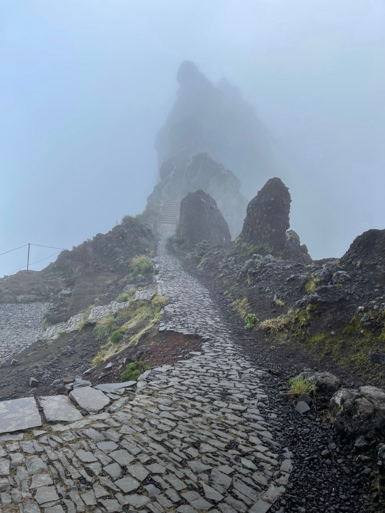
We set off with Bennie assuring us that the Basalt slates were not slippery! Certainly not my instinctive thought. We were first to aim for the peak of the second highest mountain which was close to our start. I was carrying two sticks but lent one out- with the fences as well I decided one would be sufficient.
Our path undulated and quite soon we came to a section with a path with very steep drops on either side and then steps upwards. Quite an initiation – not too daunting in the rainy mist!
The path began to drop down steeply and we would loose about 1000 feet before we started to climb up that and more to the summit of the highest peek.
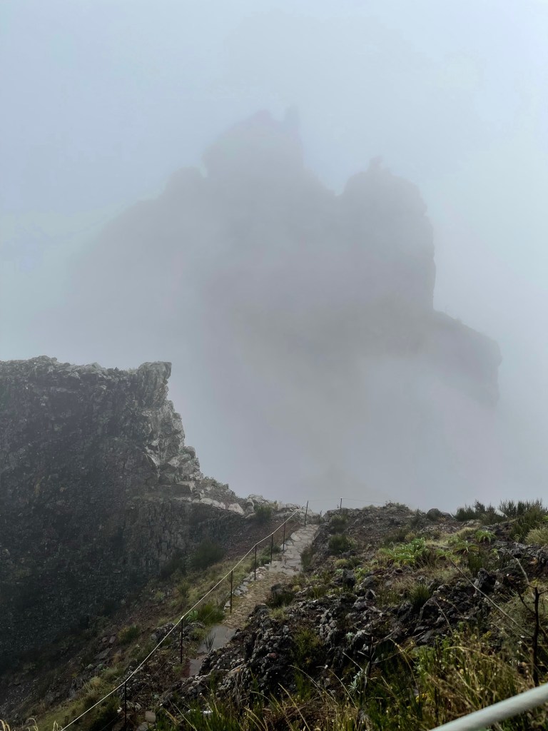
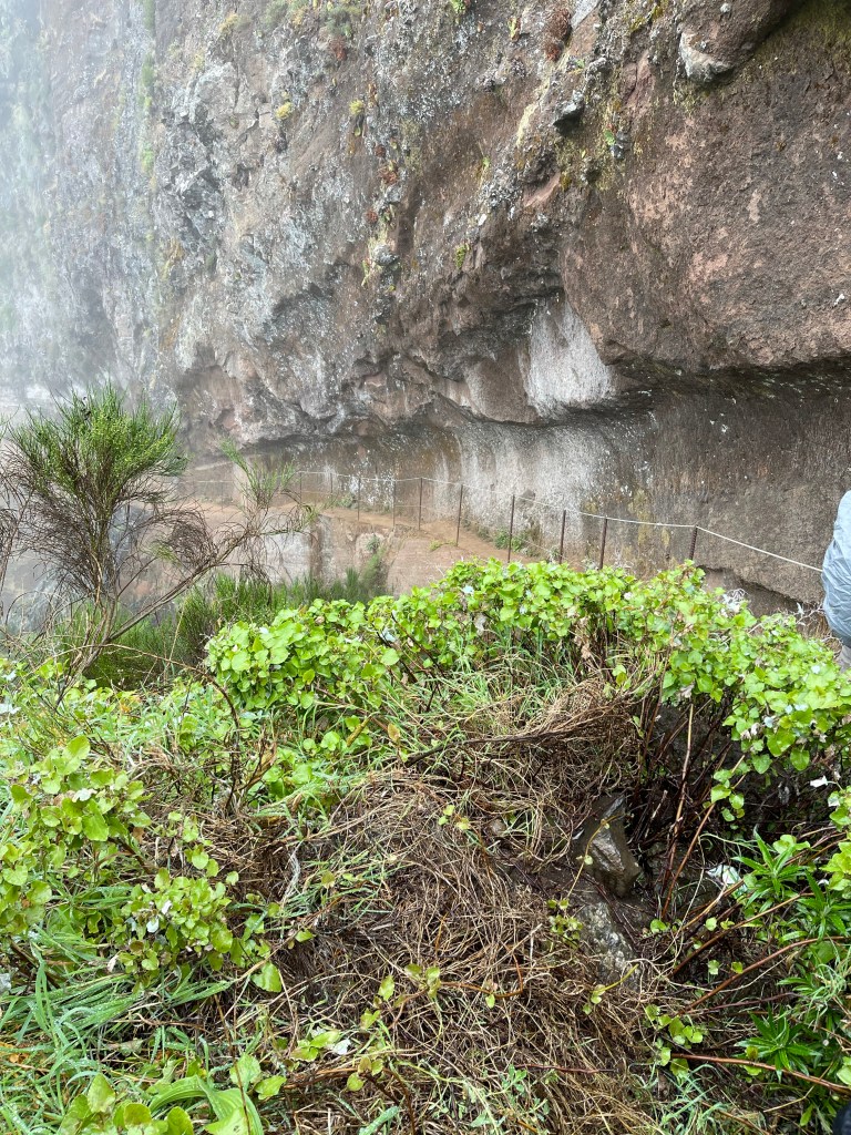
Every now and again it was possible to capture a large rock formation formed when the volcano spewed out larva and to try and guess what was below- a sense of nothing much to our sides helped to convey the height we were at.
There were a few moments when we thought the rain might ease – we had stopped pretending it was a bit of cloud! The natural ground was personally easier to walk on than the beautifully laid path.
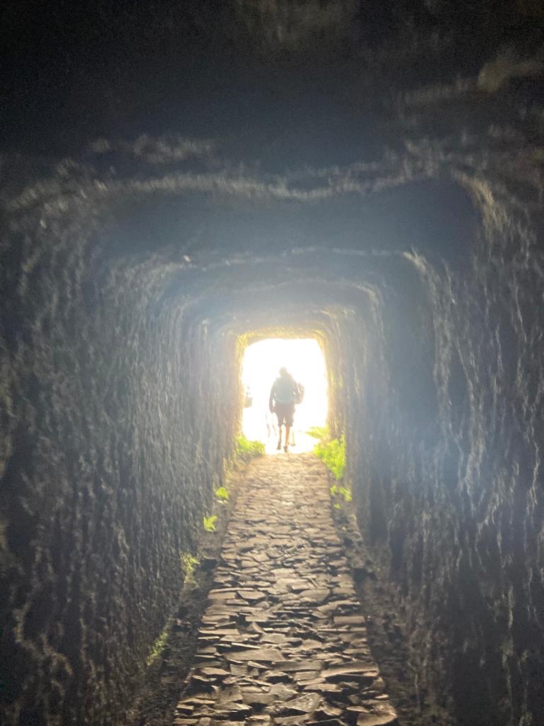
Glimpses of flora and fauna lighten our path and the odd interesting rock formation. A short tunnel cuts through a section of rock and we are for a while on a flatter section. And a coffee stop! Rather interesting finding a good toilet stop in this type of locality. Pasteis de nata – our reward today ( very yummy custard tarts).
Whilst we are taking a refreshment break another large group arrives at our plateau, with a guide on a day trip. At a glance we were better equipped than most.
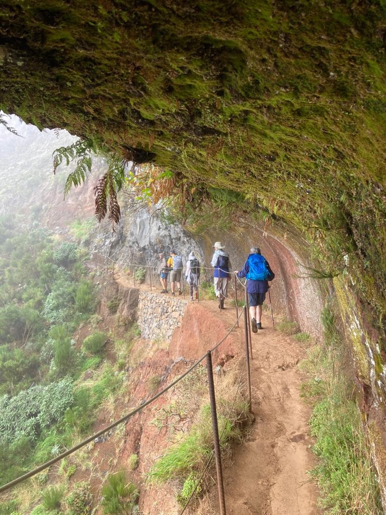
It is difficult to know exactly which aspects of this walk gives it’s name to the ‘Balcony Walk’. I think we next went through another tunnel but I can’t be sure. Rain and hoods to add to lack of clarity.
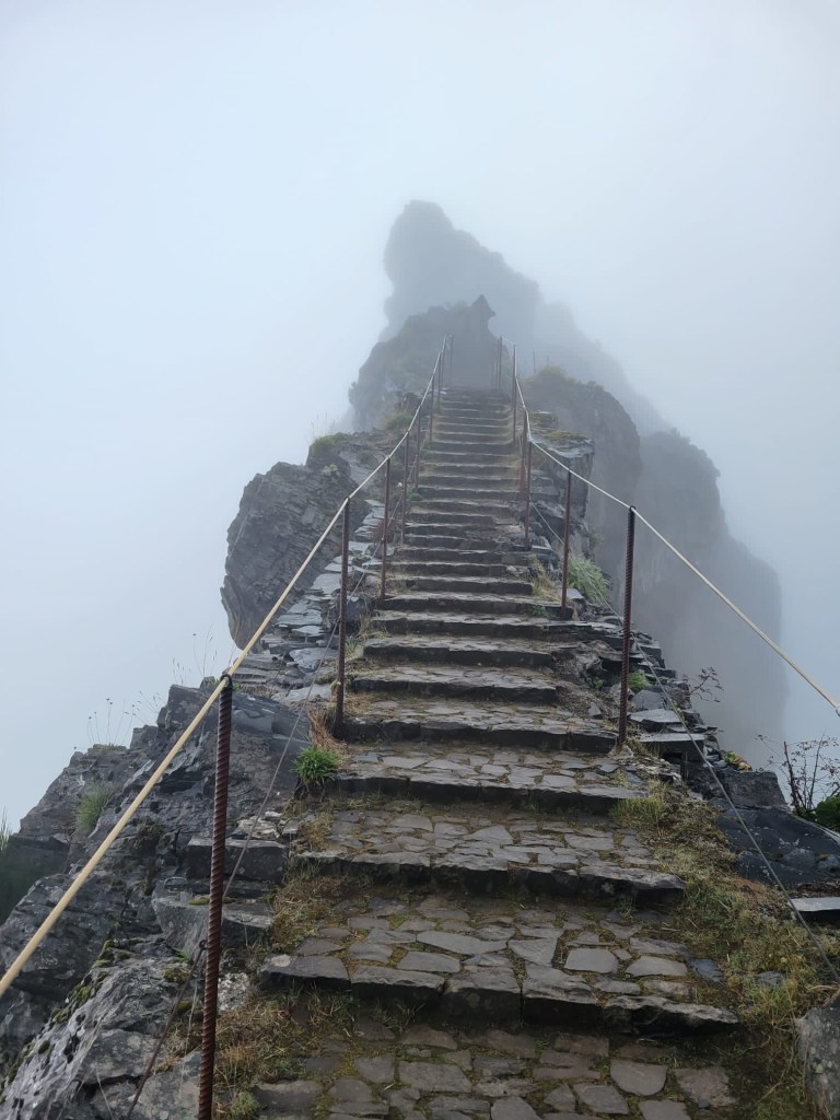
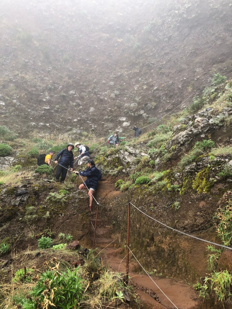
We know that there had been some reorganisation of the path due to landslides and that we would soon come across the metal ladders. Apparently the area was surveyed with drones and these were thought to be the ideal solution- not a favourite with the guides.
There were four metal ladders in total – I think. The one above had rocks jammed under neath it but there was one that just seemed to hang off the edge of the mountain, which you could see through to vast chasms of nothing! And one had very high steps – quite a challenge. I was very grateful to have Keef and Thea as back markets behind me – I think I might have struggled if I had been right at the back on this section.
After quite a struggle and continuous rain we rejoined the old original path which wove it’s way to the top of the highest peak – we’ll eventually! A much more pleasant path, more natural and with a gentler ascent.
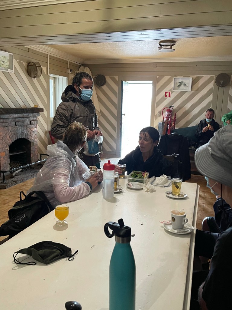
The path wound it’s way upwards with that inevitable situation of thinking you’re about to reach the rocky outcrop of the peak, only to see another section behind and higher. The path takes us to a flat area with a little hut. After a very short stop and some of us eating a quick snack it is decided to head for the summit before lunch, even though by now it is quite late. Apparently we will be up and back within the hour!
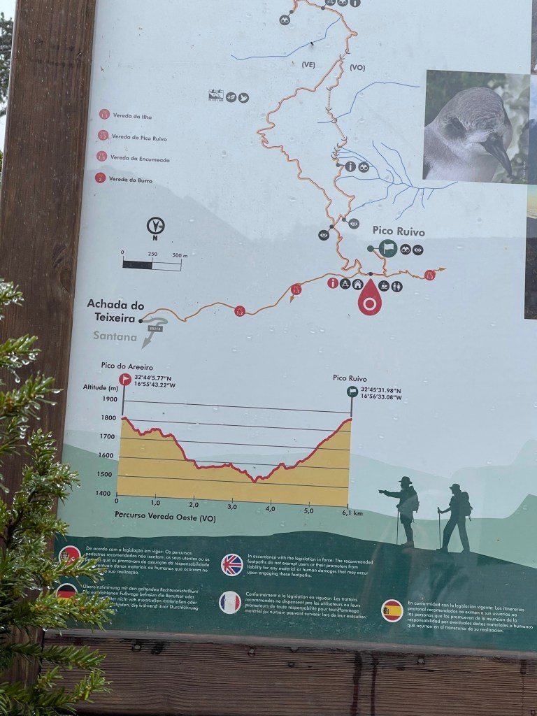
A useful board helps illustrate our huge descent and subsequent final ascent.
Then we were at the summit – about 6100 feet. There are viewing platforms in several directions but to no avail. So it was photo time before descending to the hut.
Ironically as I’m having my photo taken I’m squinting as the sun is trying to shine through – it doesn’t make it!!! Next stop lunch and a welcome mint tea.
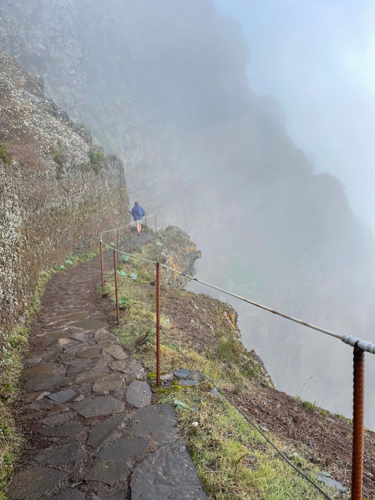
We still have to descend, some of it very steeply. Not such a long section as we thought it would be but in parts still rather challenging.
Reflection – this was an amazing walk and although the weather was terrible it was I think enjoyed by all of us. It was challenging but I did feel quite a sense of achievement as it was only 5.5 months since my second hip was replaced. It was amazing to be back on top of a mountain.
This walk was between 10/11 kilometres, my Fitbit recorded 205 floors! Thank you to all my walking companions for the week. To Geoff ( who only did a small part of this walk due to his knees), Eileen, Charlotte, Ruth, Paul, Alan, Dan ( the obligatory American! ), Keef, Thea, Liz and of course Benny our guide. They all contributed to the overall enjoyment and camaraderie of these walks.
Madeira is great and I will return – some many trails still to do.
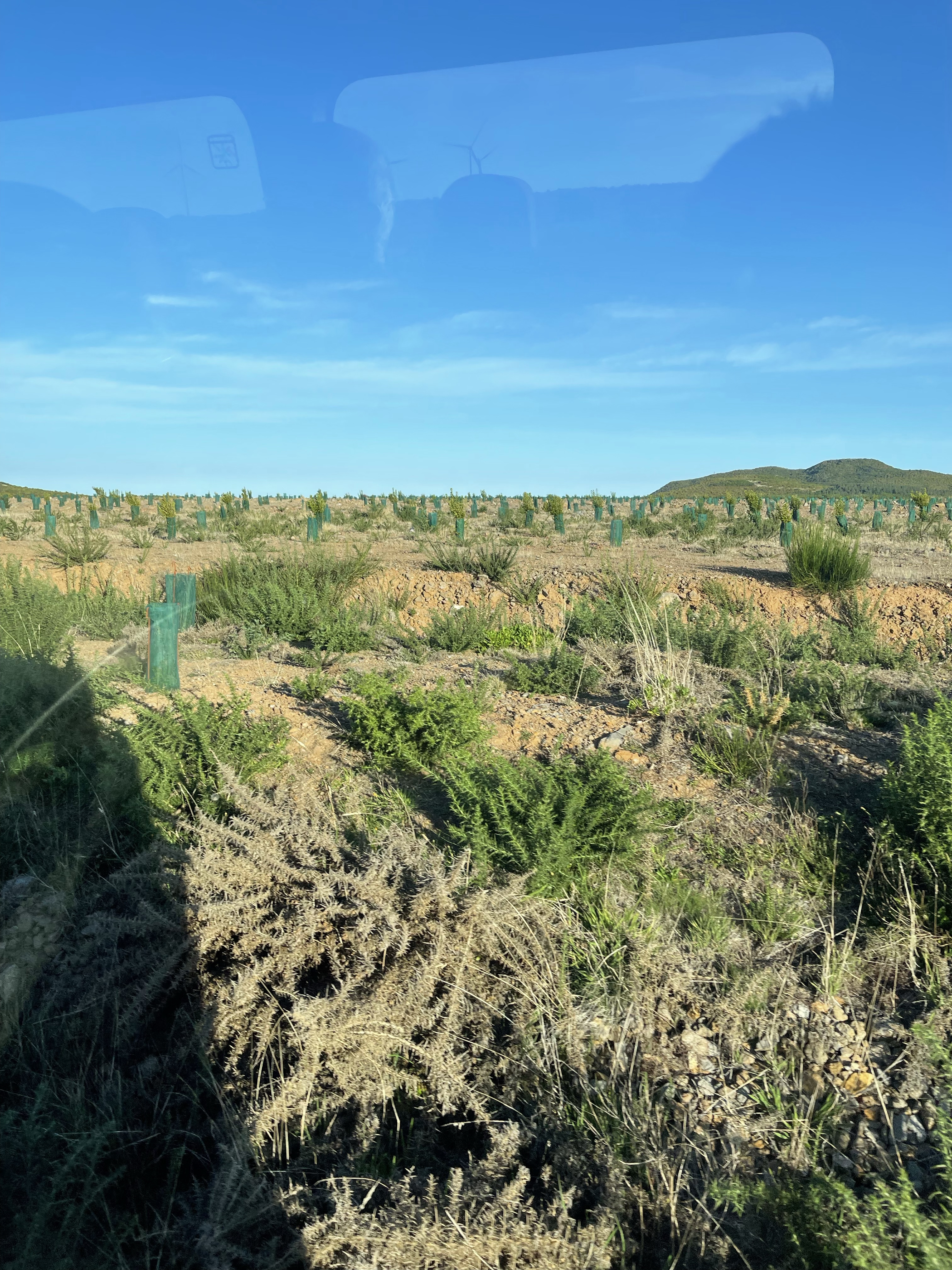
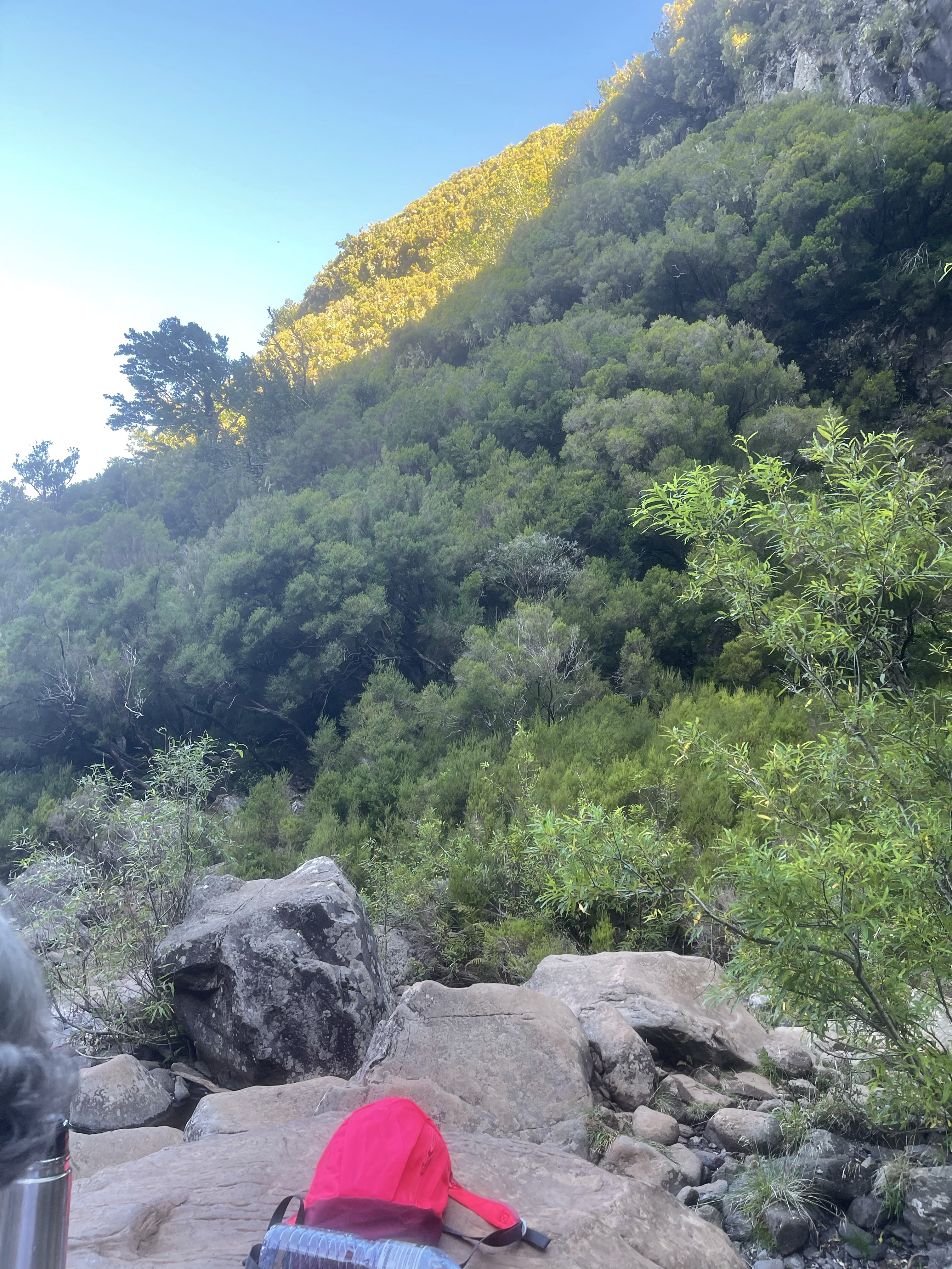
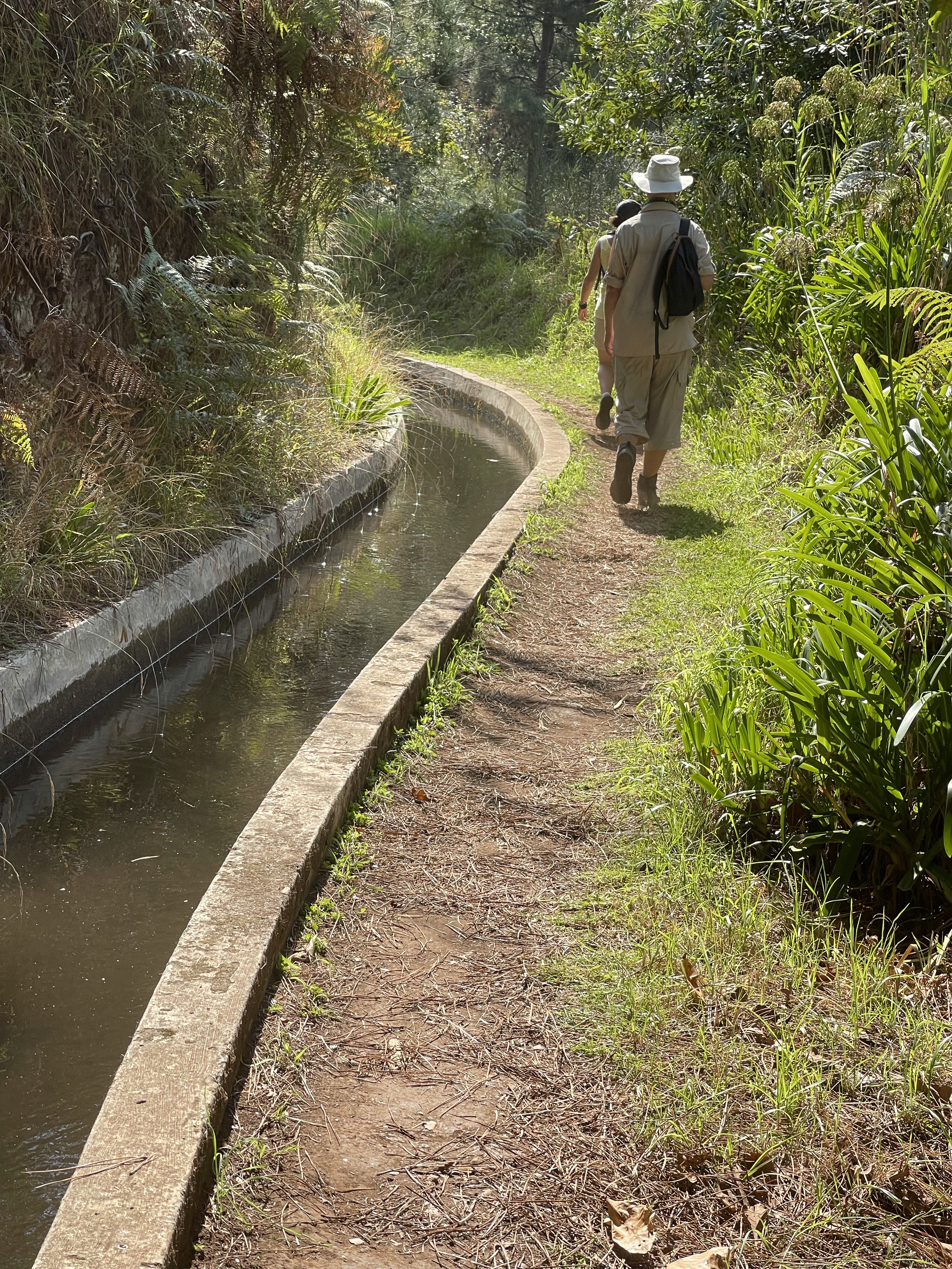
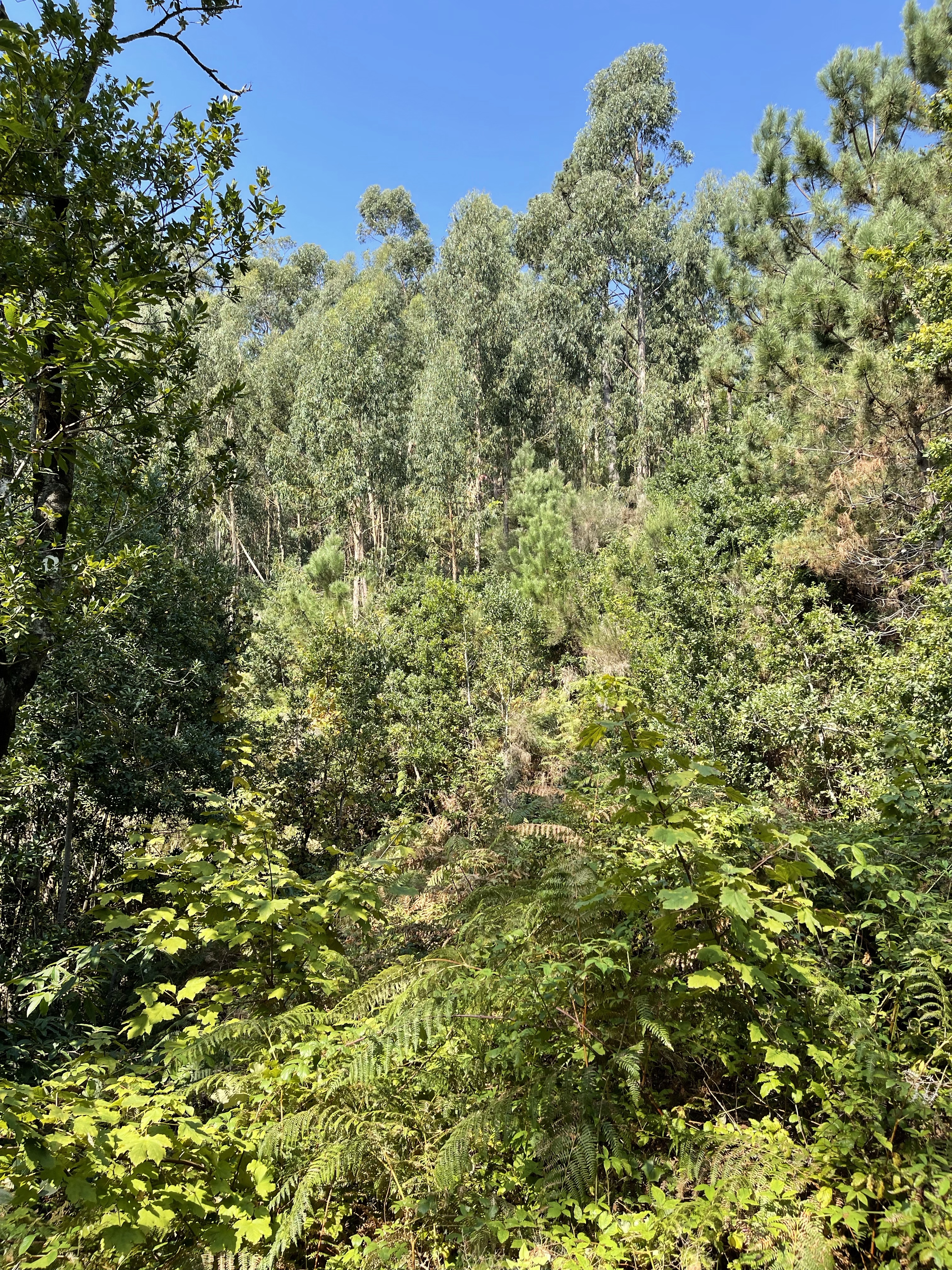
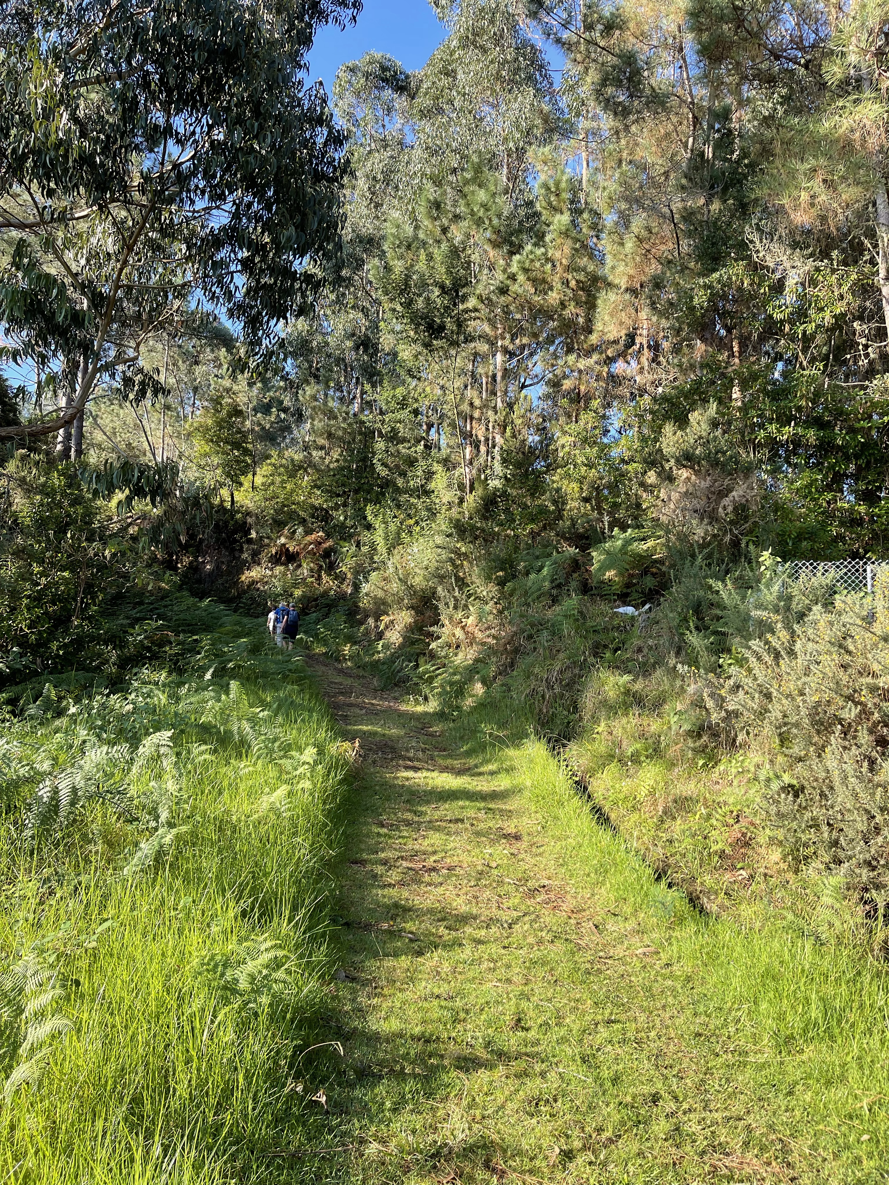
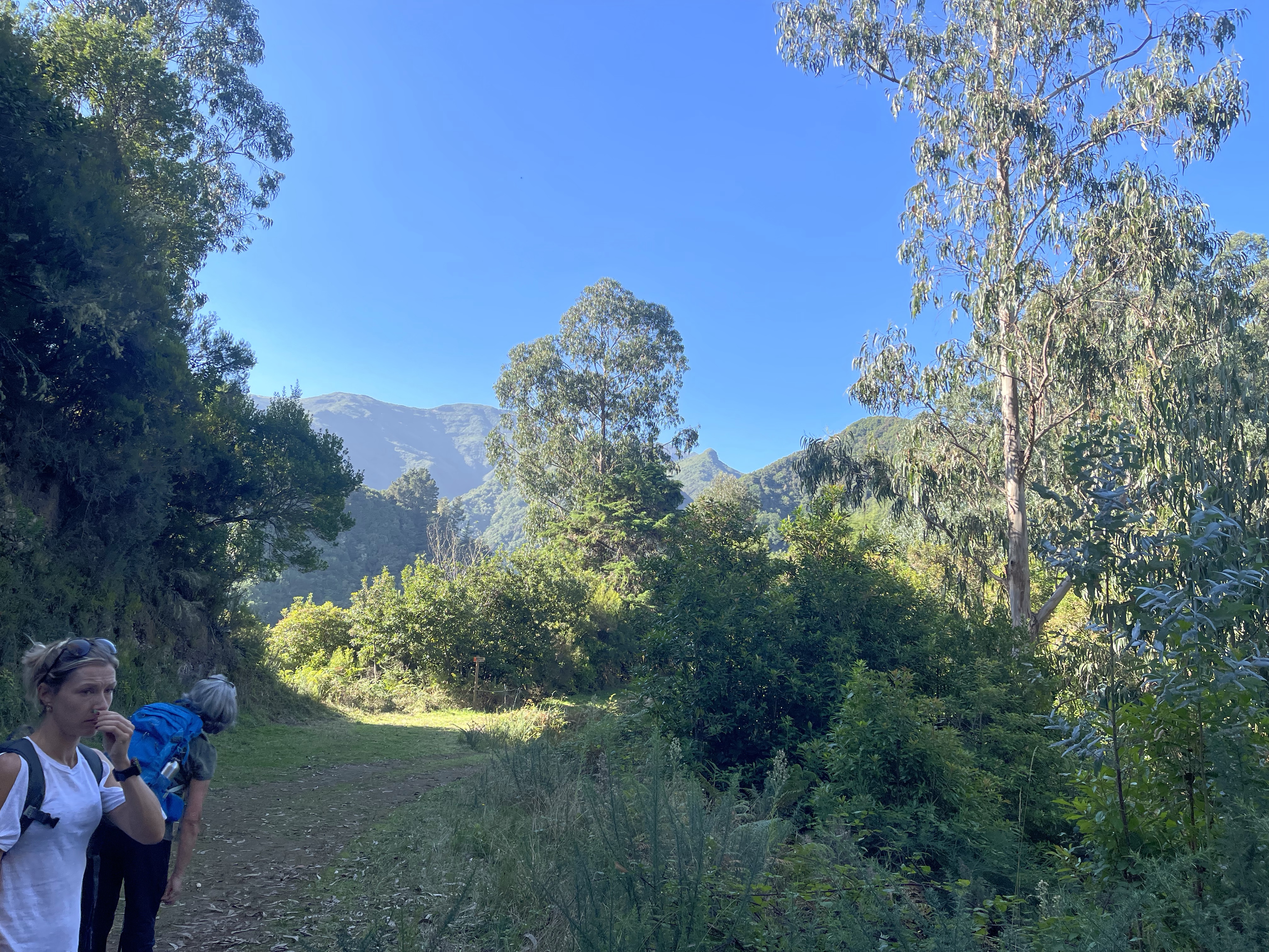
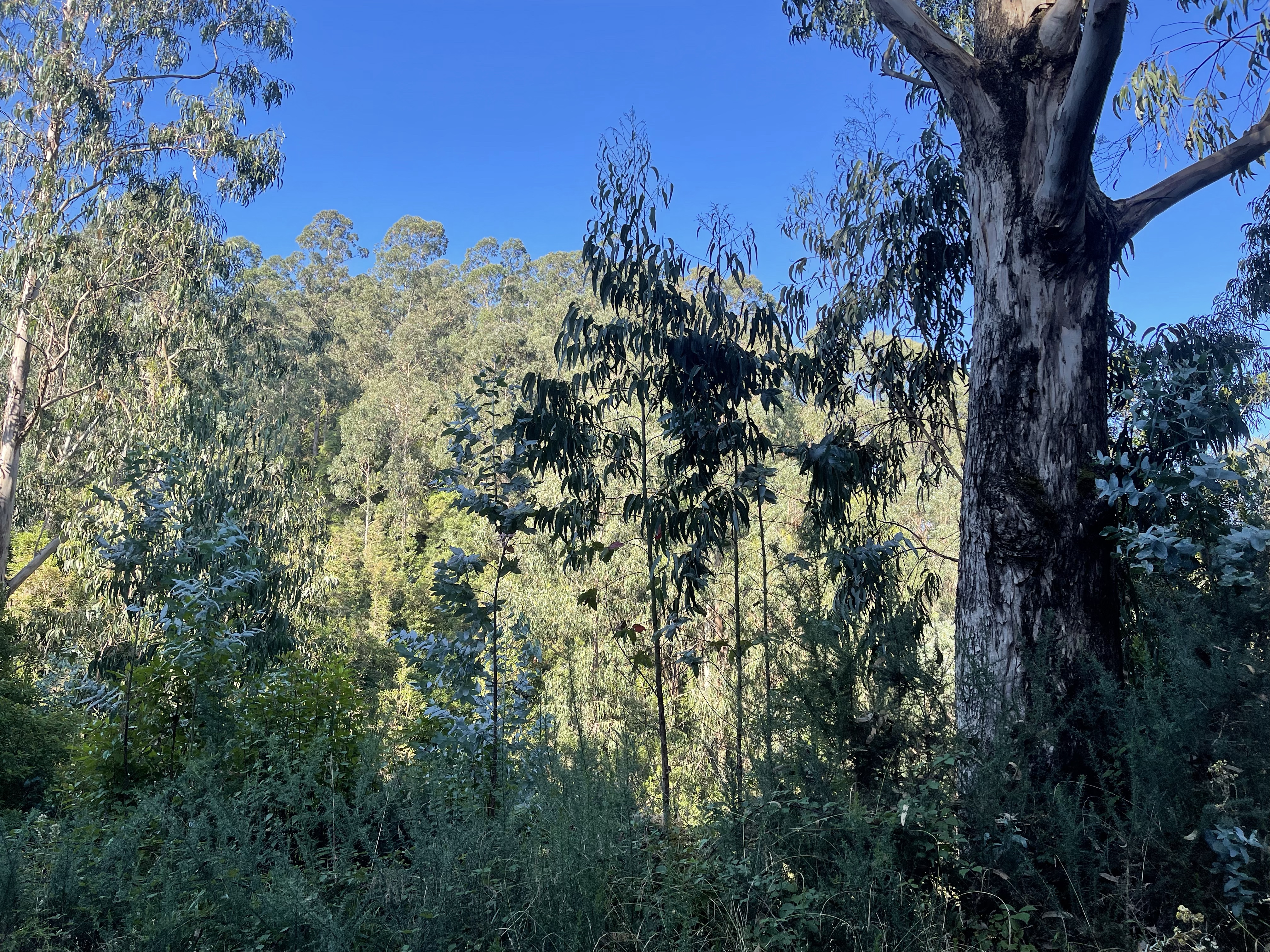
We started our day by driving up into the mountains and on to a large plateau area which has been planted in order to change the diversity – Eucalyptus had rather taken over. We arrive at Rabacal and note that this is a popular starting point- no coach groups yet!
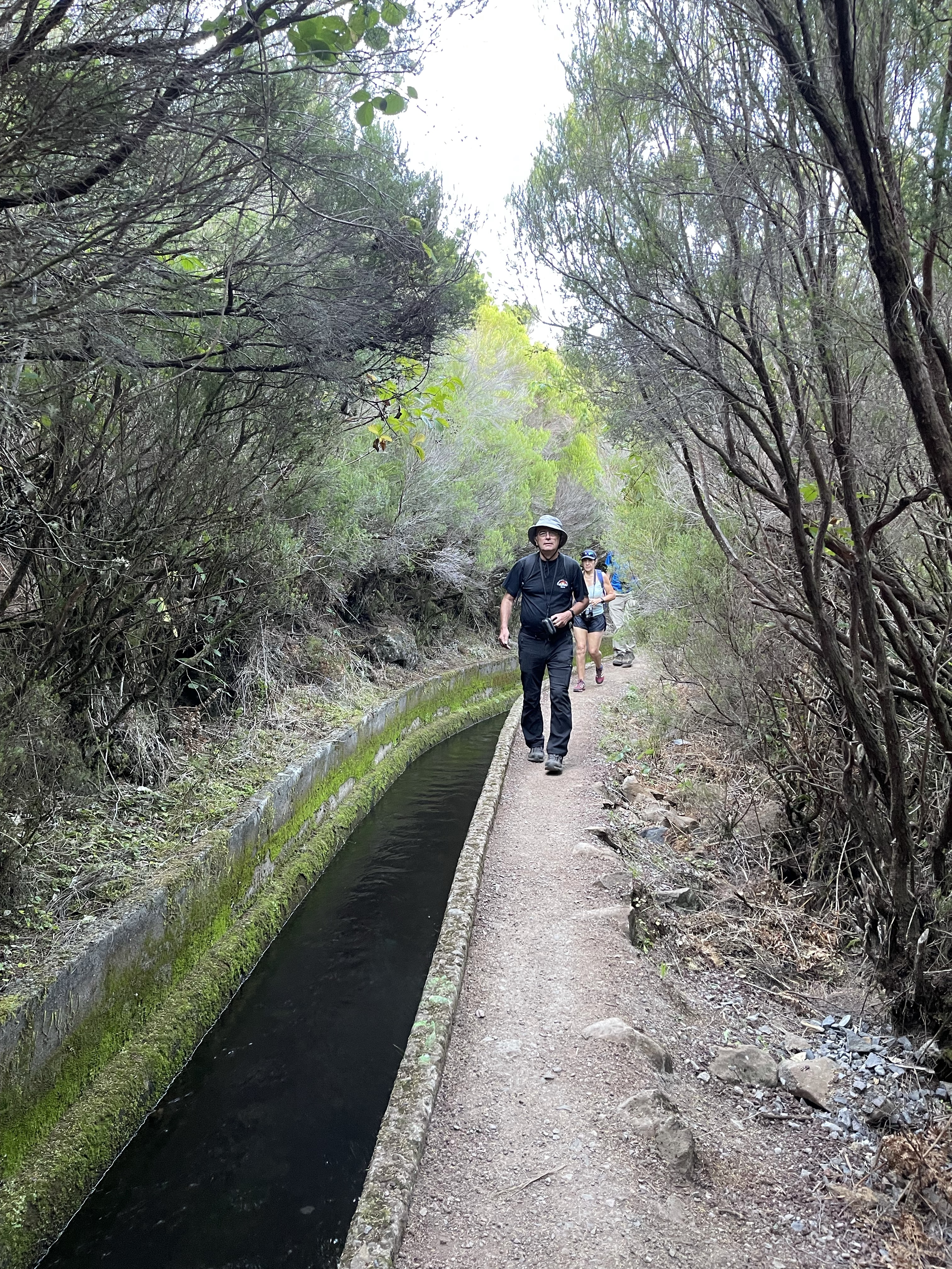
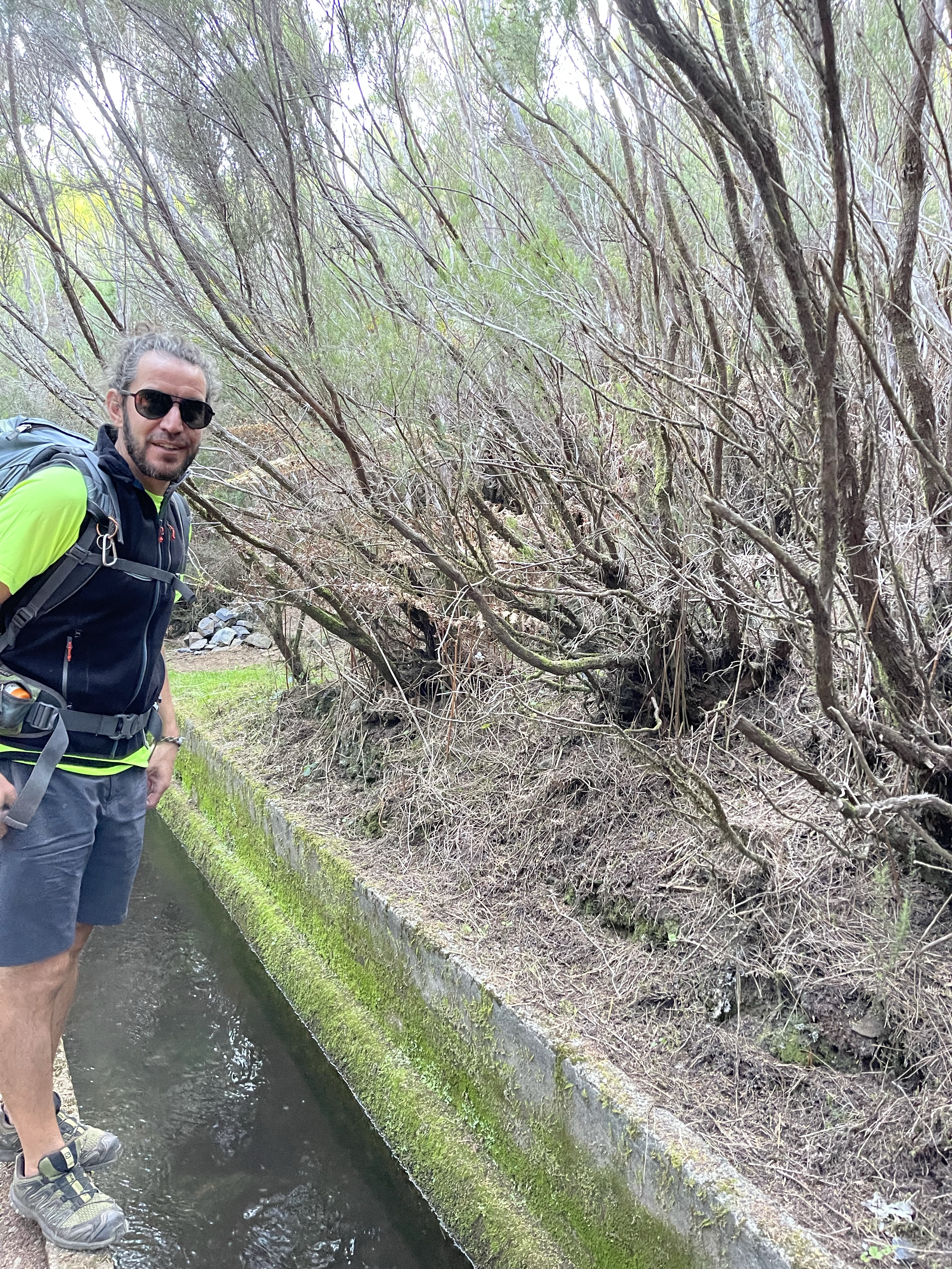
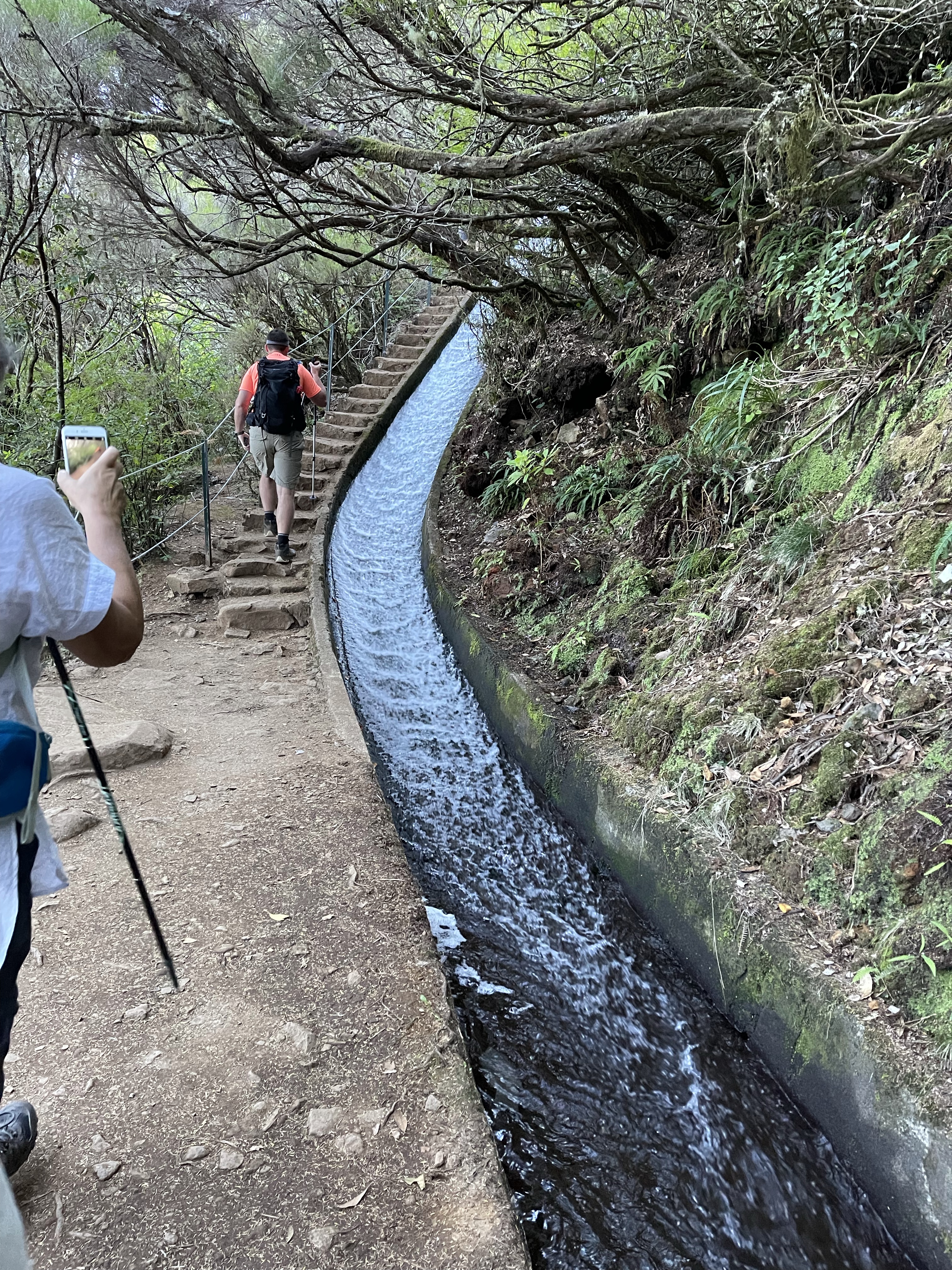
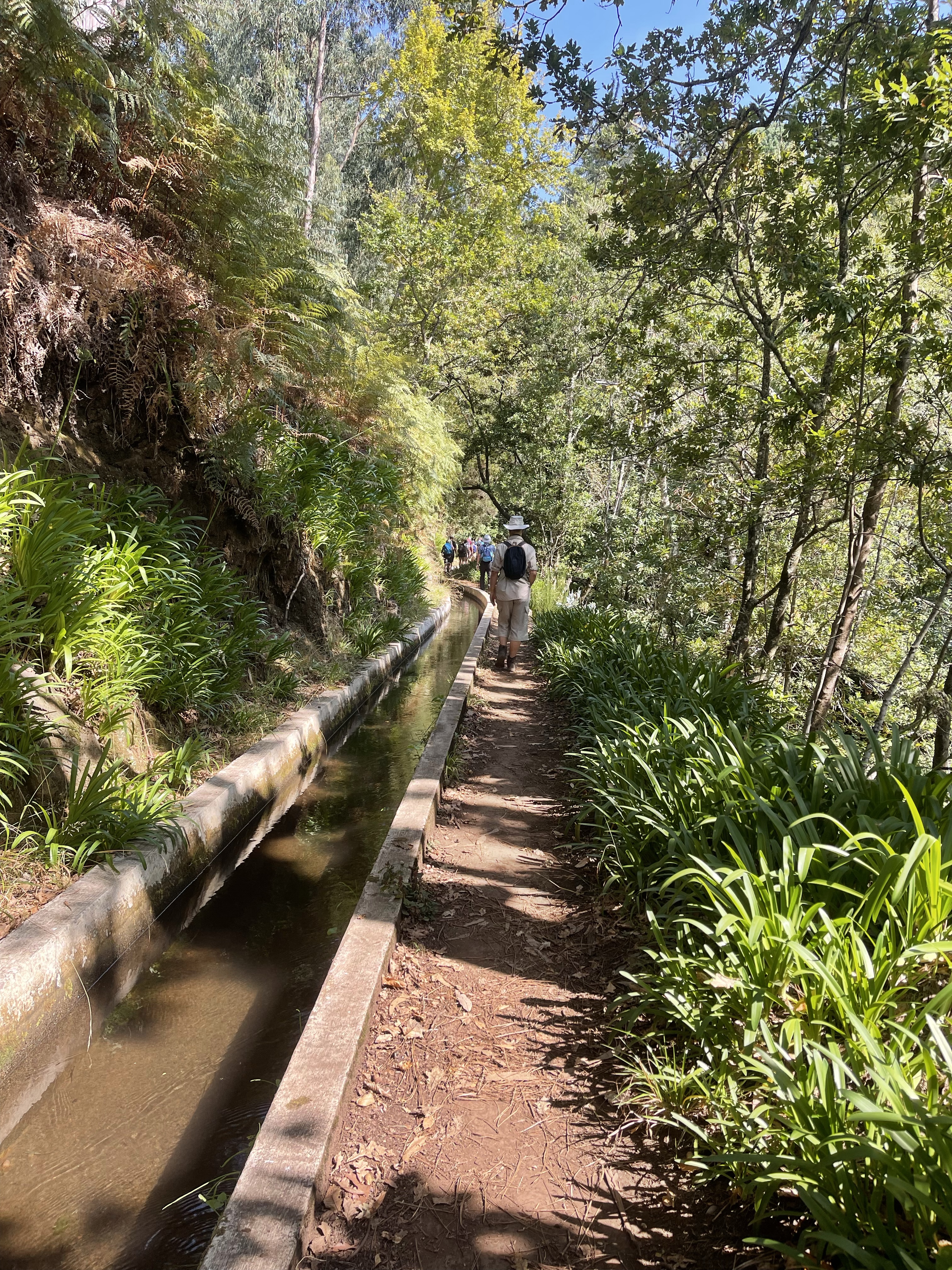
We luckily take a discrete more minor path alongside the Levada do Alecrim ( Rosemary). This turns out to be a little badly named as tree Heather predominates and the Rosemary is much more like a wild thyme! It is already quite warm and there is some welcome shade at the start of our route.
The huge Heather trees form arches in some parts and it is almost as if walking through a tunnel. Again this is one of the older Levadas and it has a very pleasant feel about it .
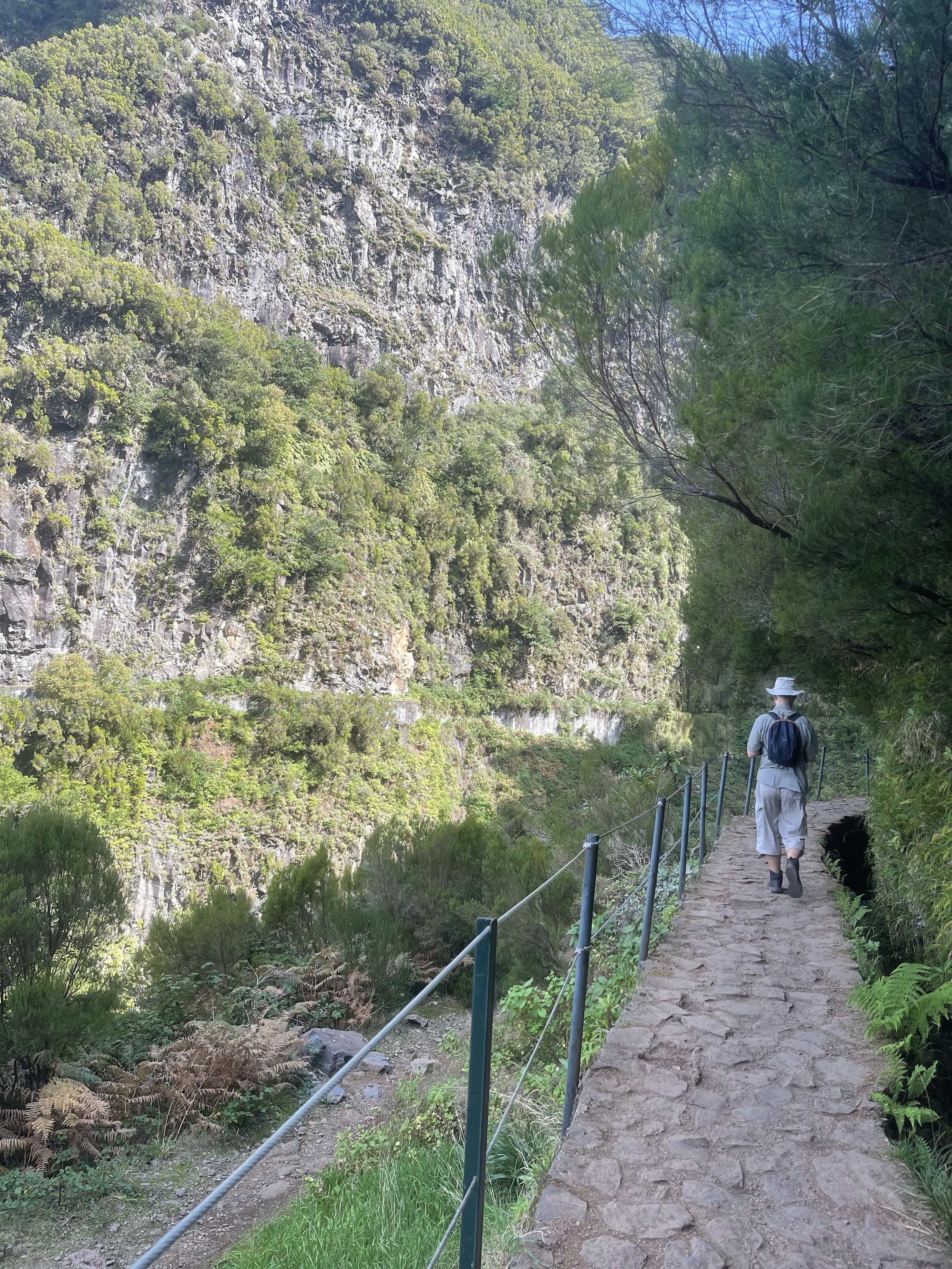
As with many of these walks there are drops to the side and useful fences to give some protection, even if it is psychological.
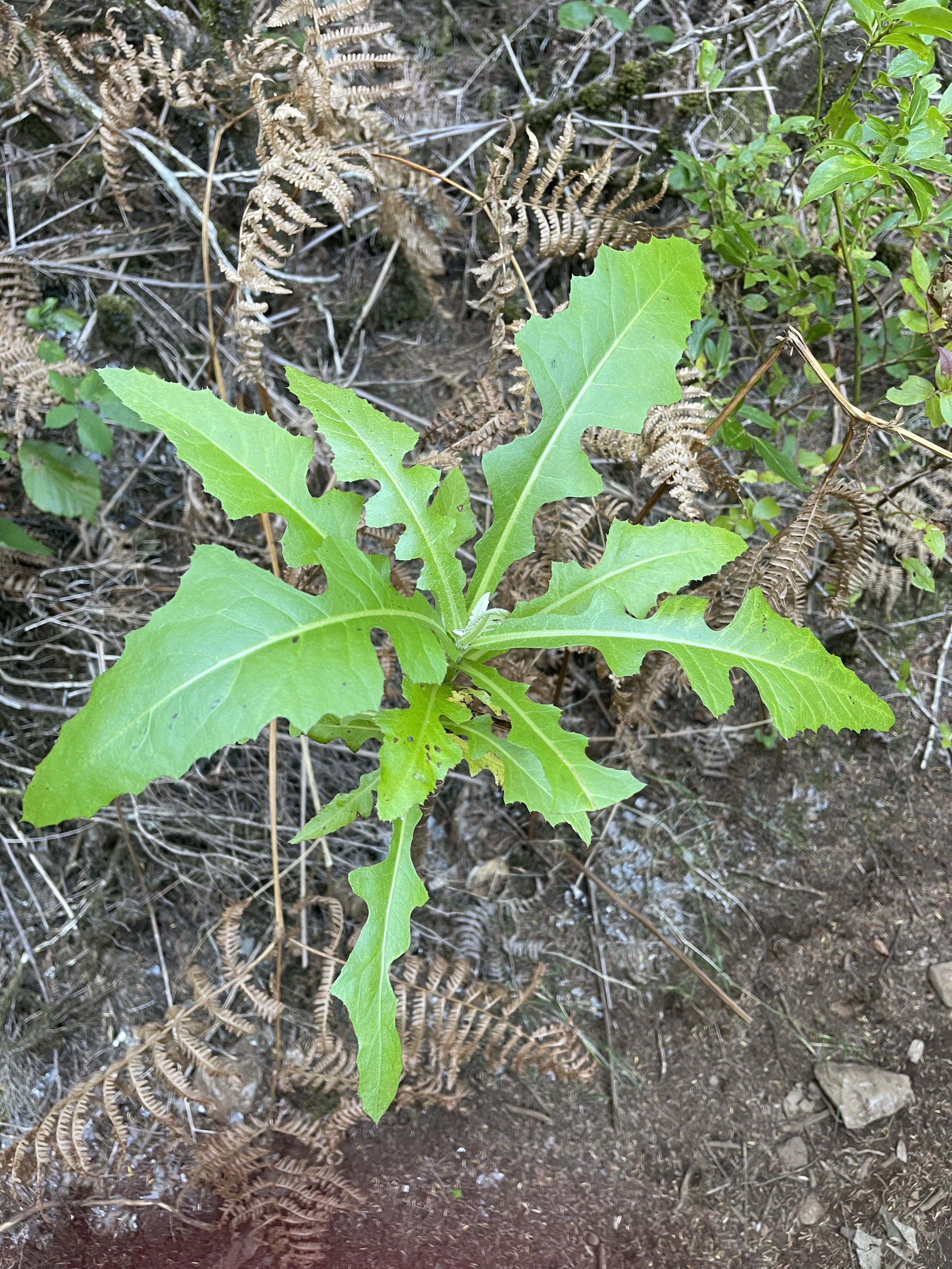
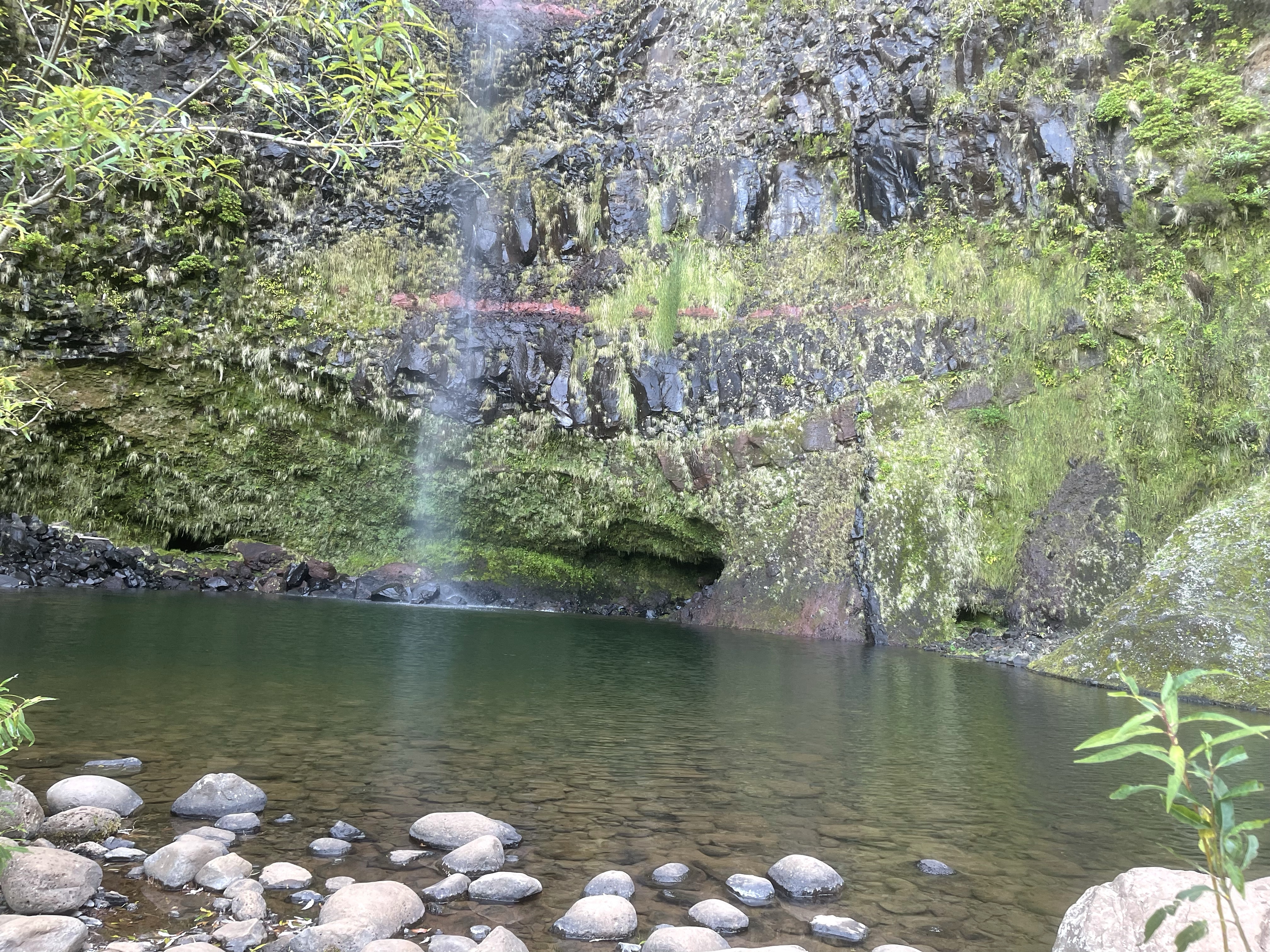
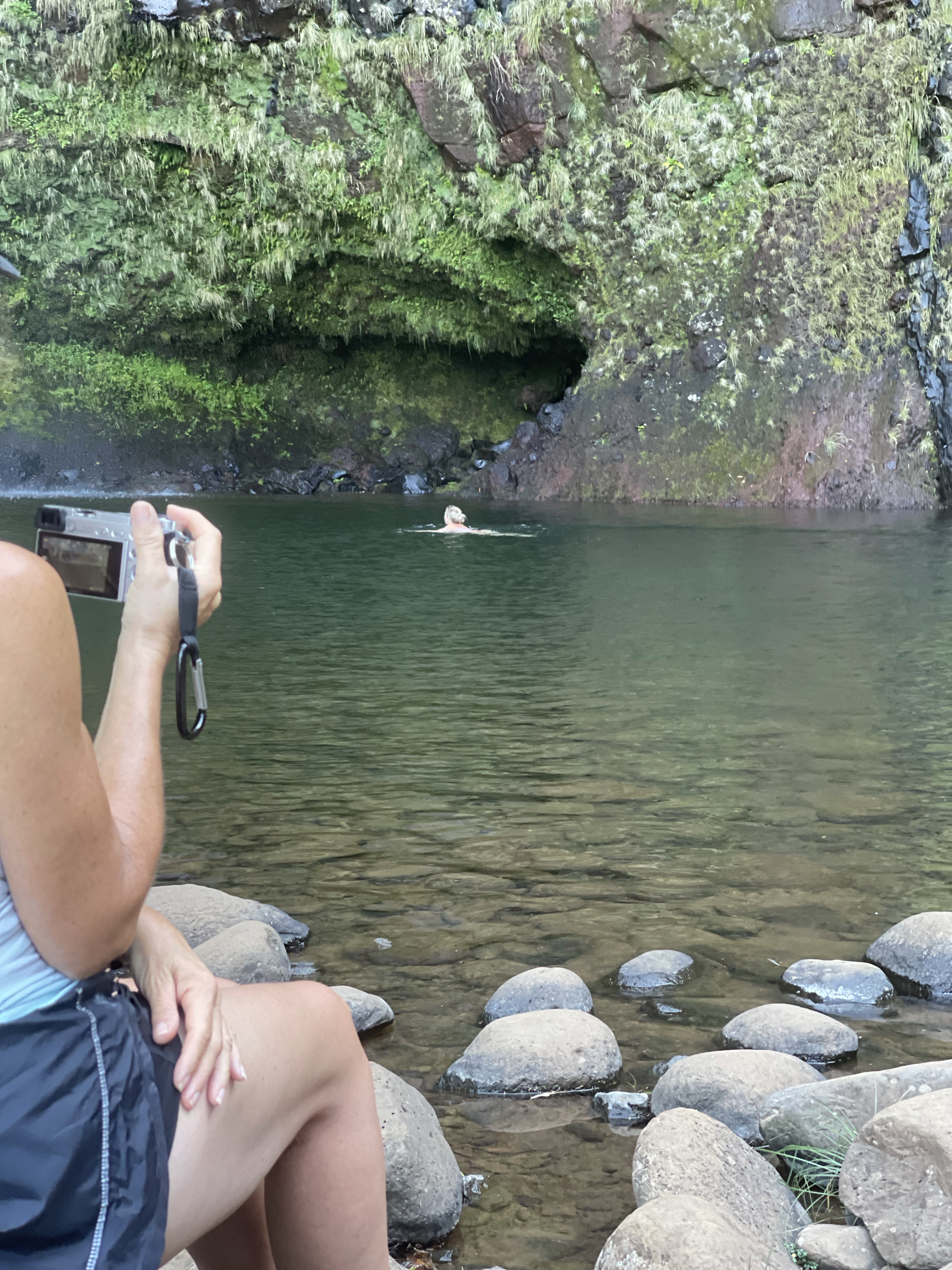
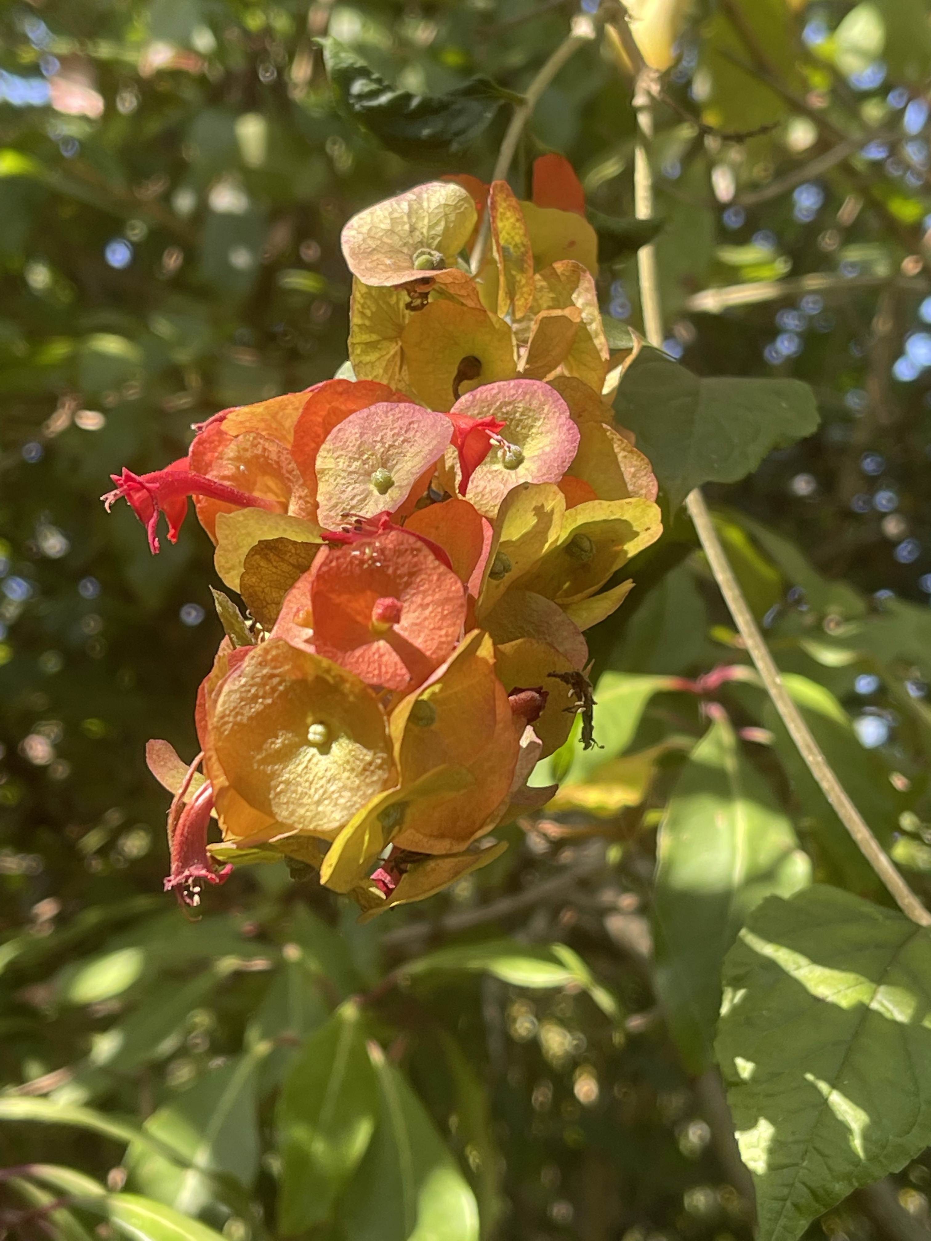
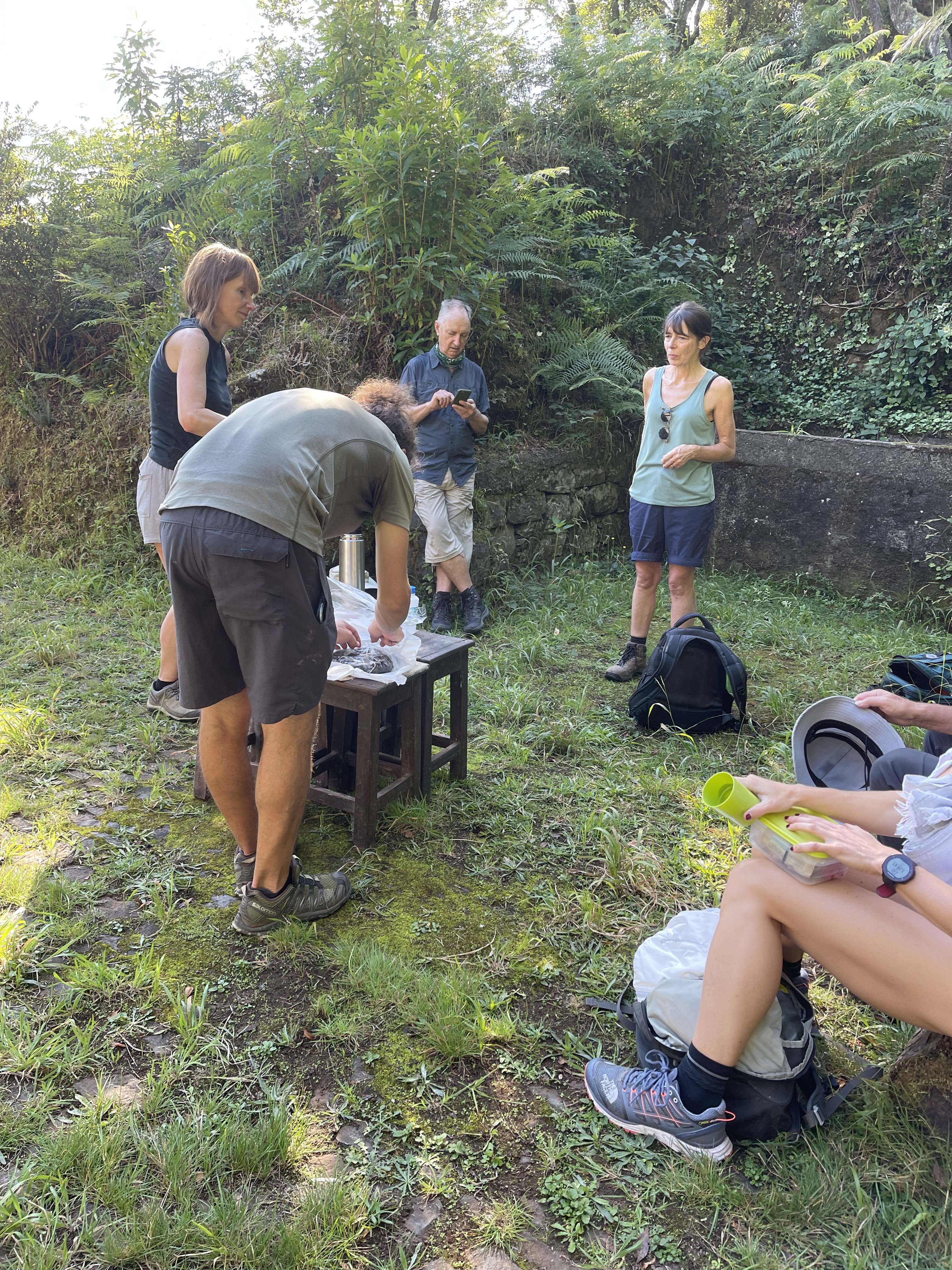
Our route is interesting in the fact that we are able to spot new plants – a giant looking dandelion leafed species! Our path continues until we reach the Lagao do Vento, a river basin formed by water which falls from the top of the cliff. The same two members of the group swam again! We used this as our coffee stop, our guide providing two flasks of hot water and different biscuits or cake each day!
The rock strata is magnificent in this area, so sculptural and various colours.
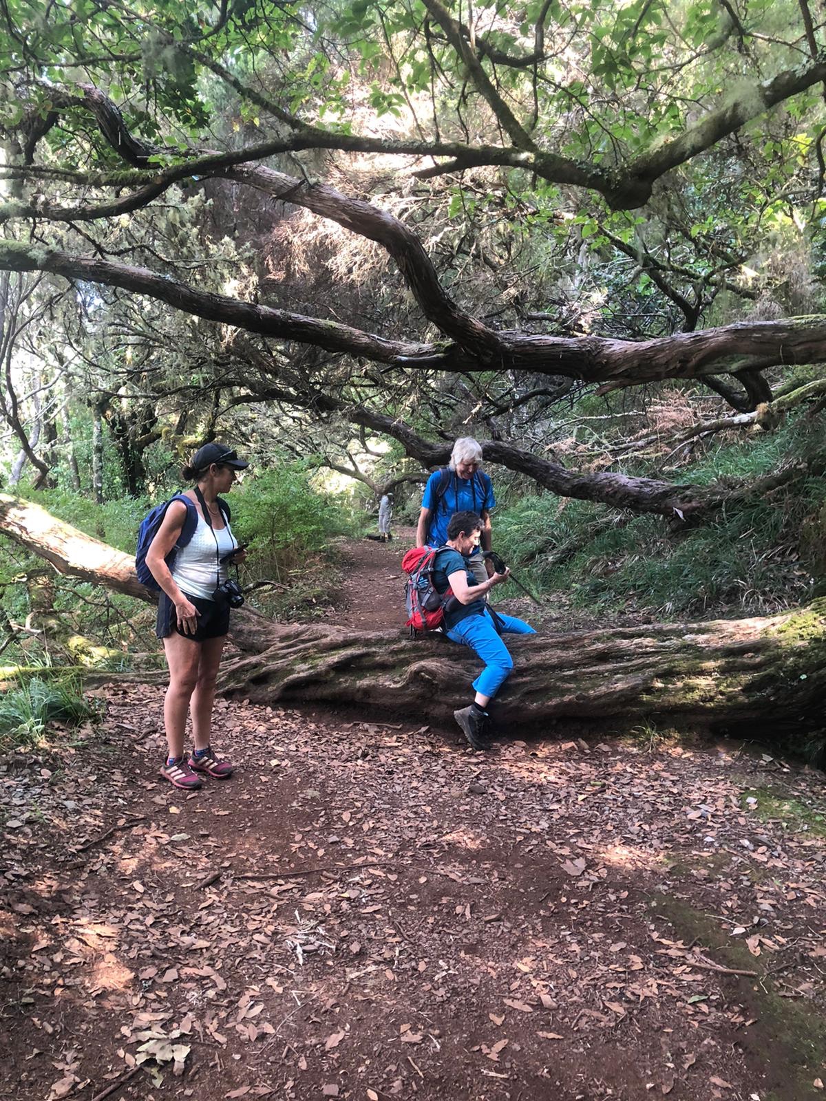
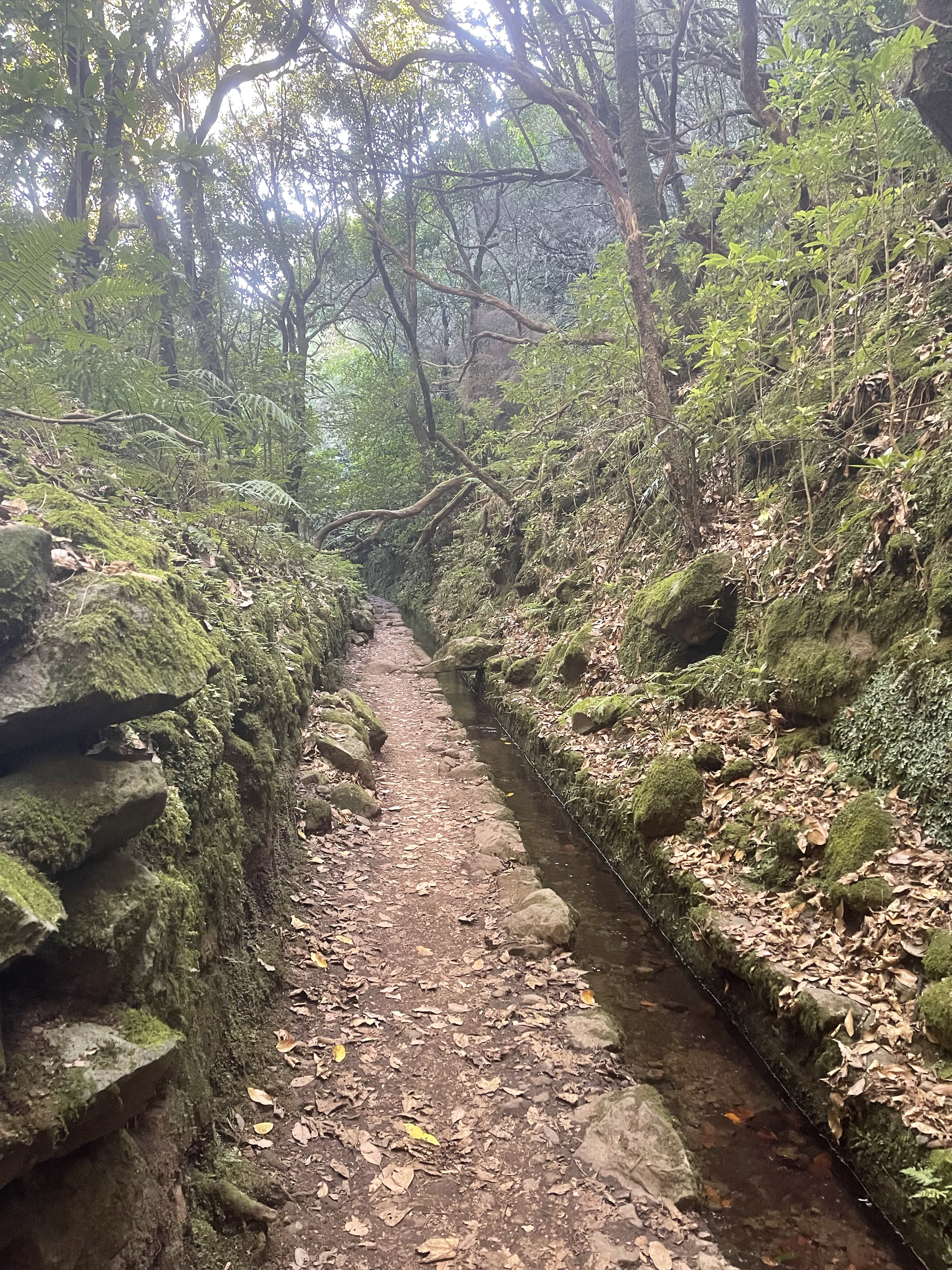
Our path continued along the same Levada with constant shouts of mind your head – this is an extremely hard wood and the branches stretched out to find the light. About an hour after our visit to the lake we stopped for lunch in a well hidden picnic spot which actually had benches and tables but was close to the main track. We are in the midst of the Laurel forest.
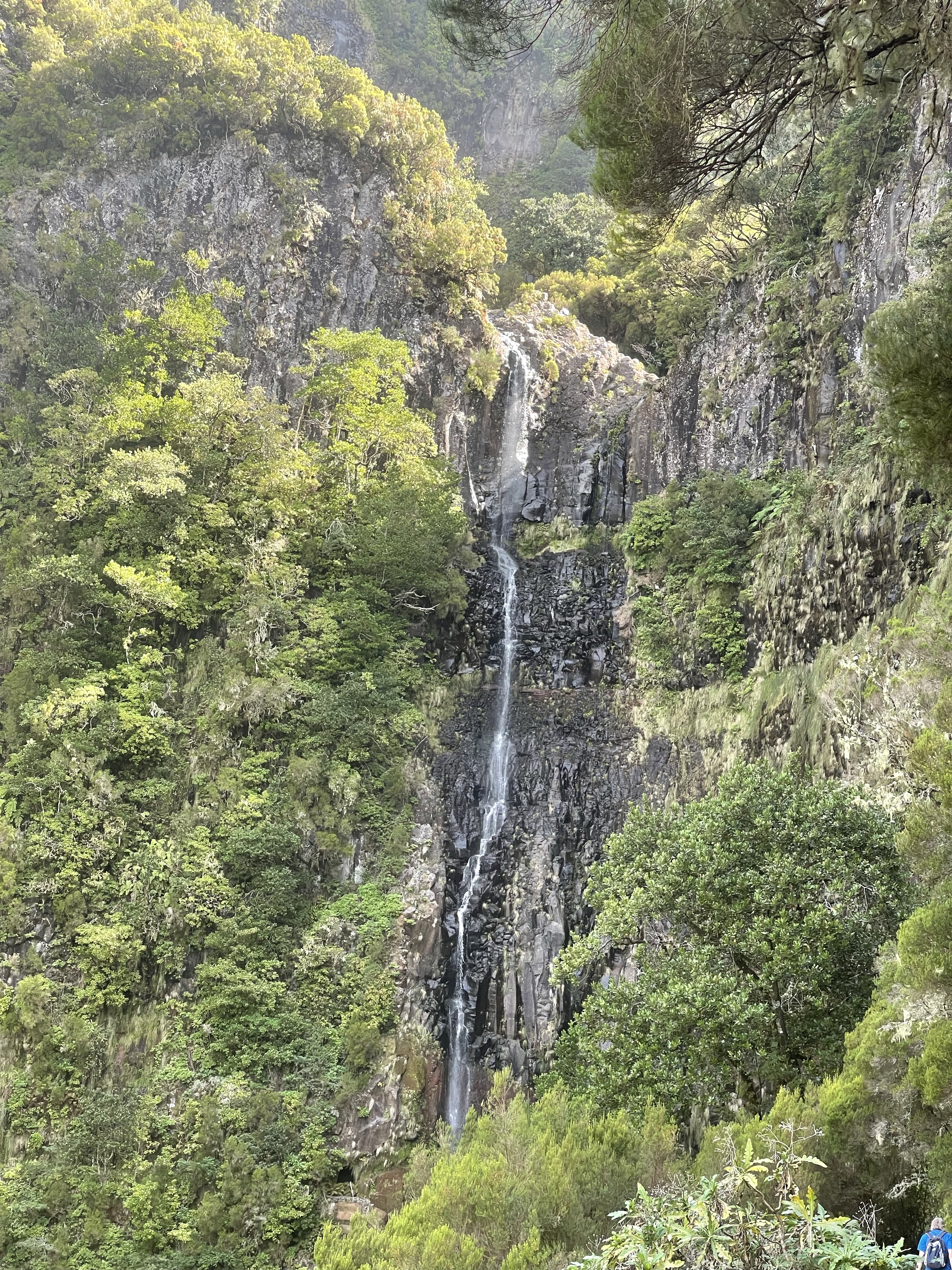
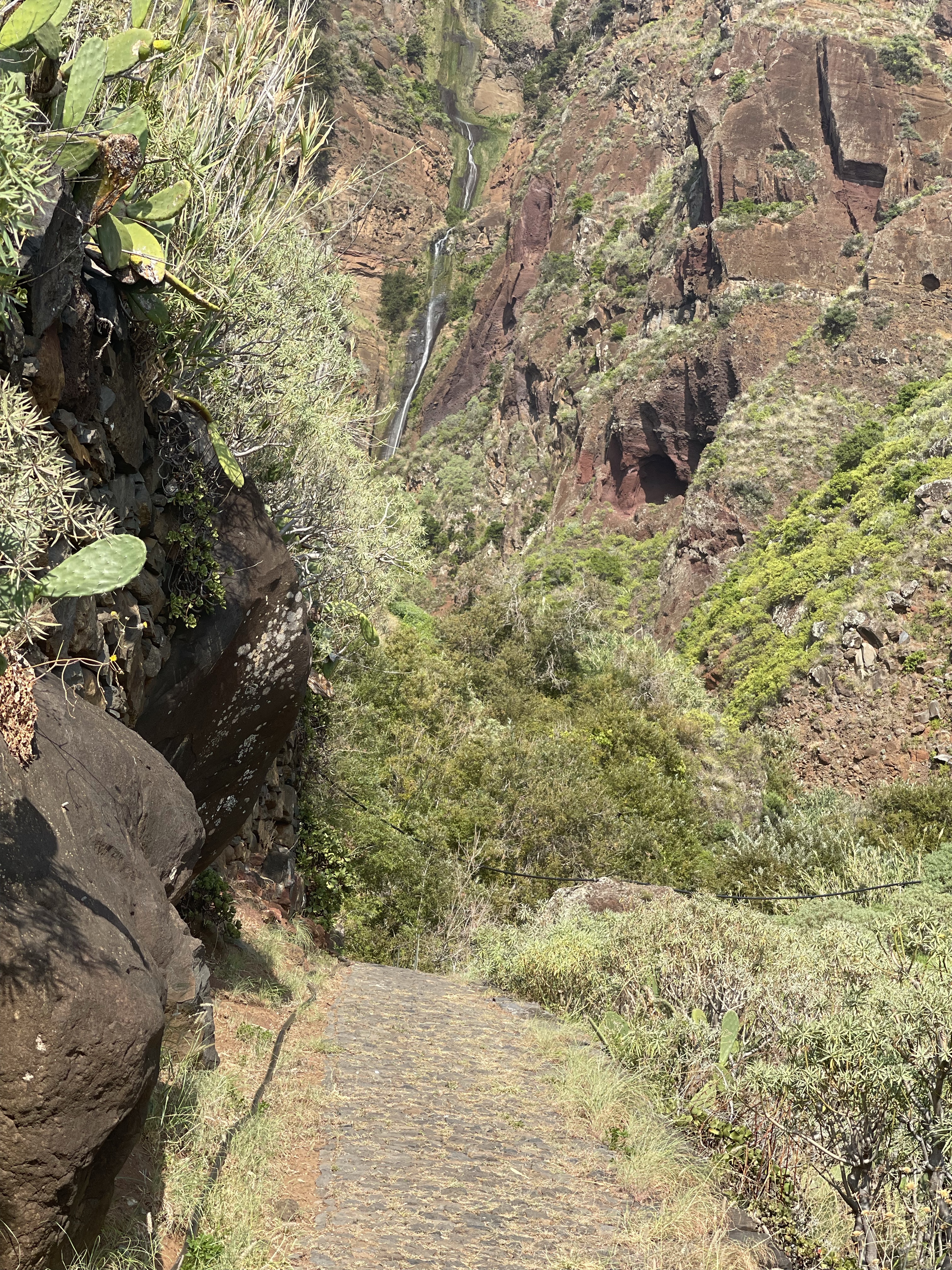
A slight change of direction after lunch and a rather more populated area – we are now following the Levada do Risco and we are off in search of the waterfall which provides the feed for this Levada.
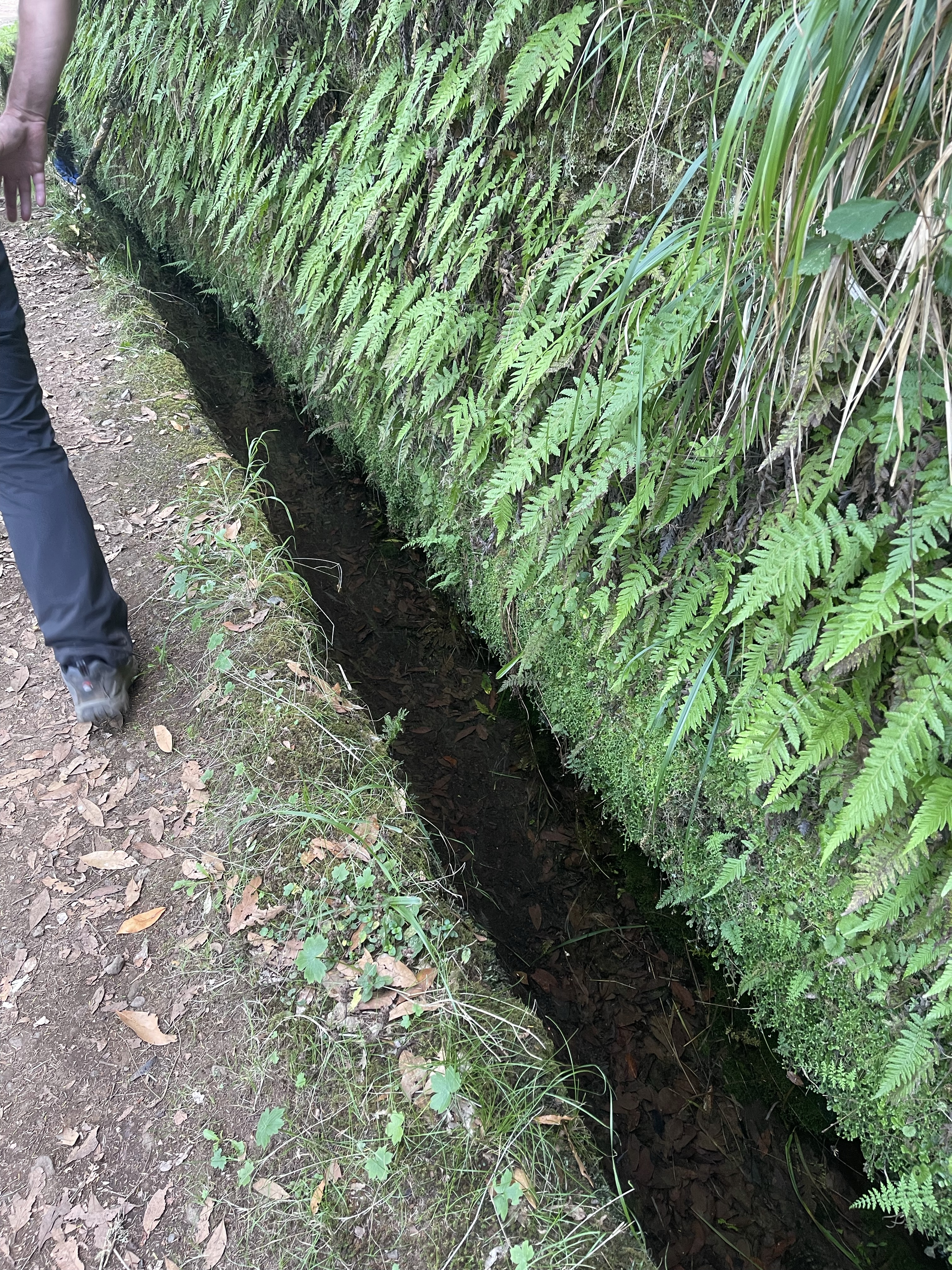
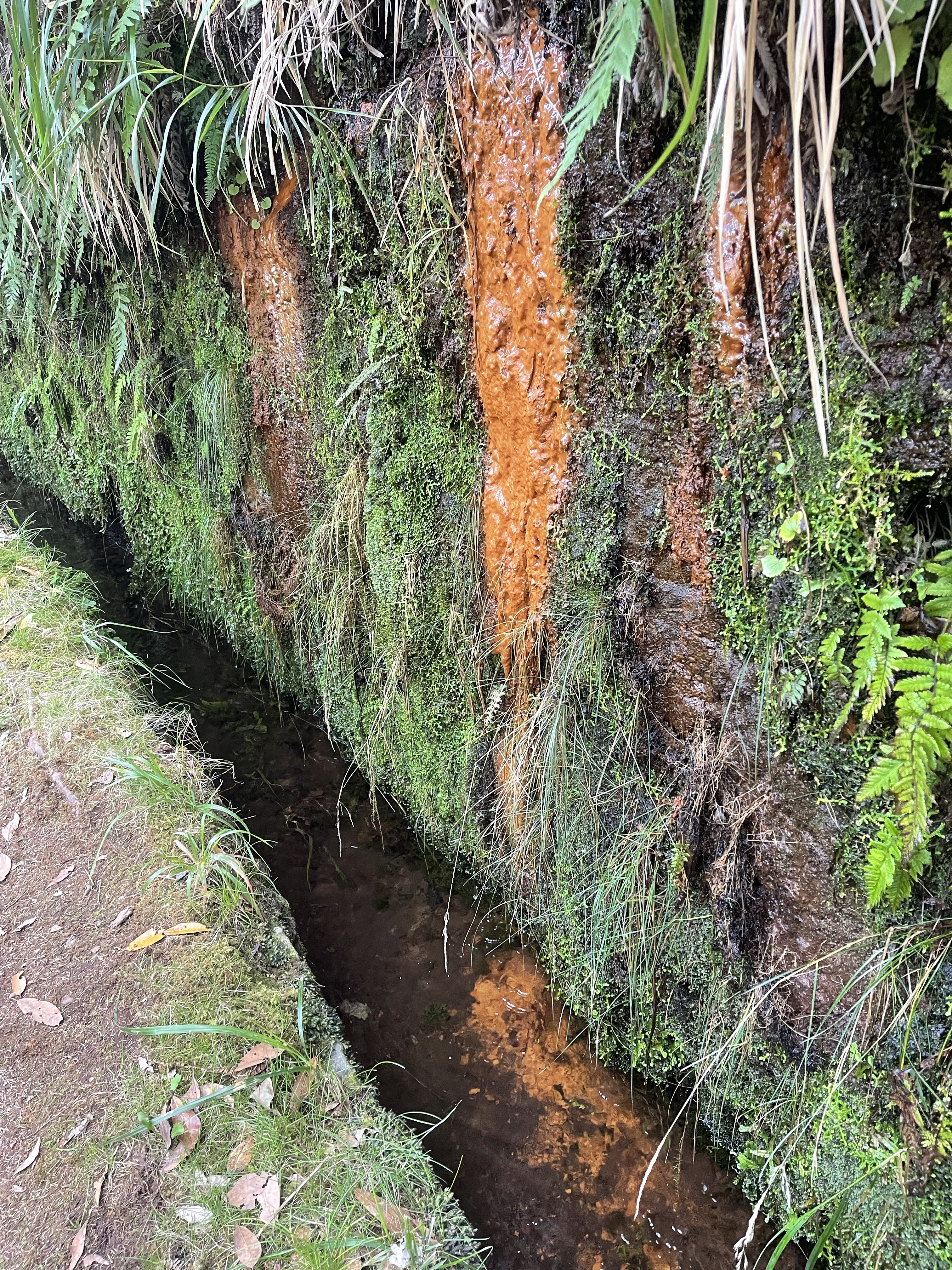
There are many different types of ferns on the island and many of the Levadas also have wet ‘walls’ above them. Moisture from clouds runs into these water courses. After a gentle start the path leads steeply down to our view point.
Having travelled steeply down there is now a well trodden path to this popular site and we begin to meet more people. It is a magnificent waterfall. Difficult to see the very top and impossible to see where the bottom actually goes to.
The lushness of our surroundings is very beautiful and the air is so fresh. A little bit of a compensation for the climb back up the path again and through more wooded area. The views are magnificent and the one difficulty with a group is that you often feel unable to take as many photos as you would like. The symbiotic relationship between this tree and the ferns is interesting.
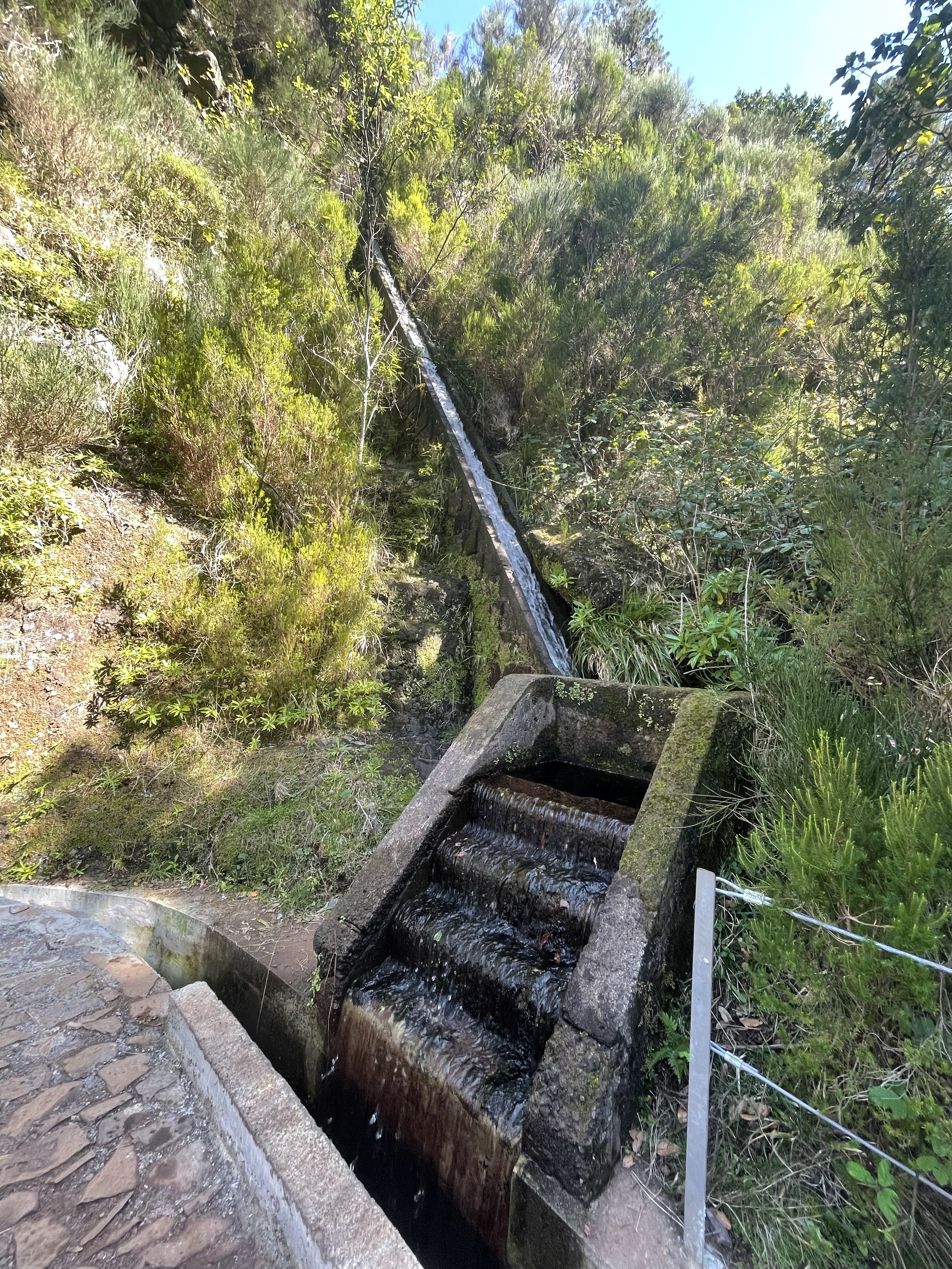
The engineering of this complex irrigation system is to be admired and adds to the fertility of the island which produces a considerable amount of sugar cane and bananas as well as vines and more domestic crops.
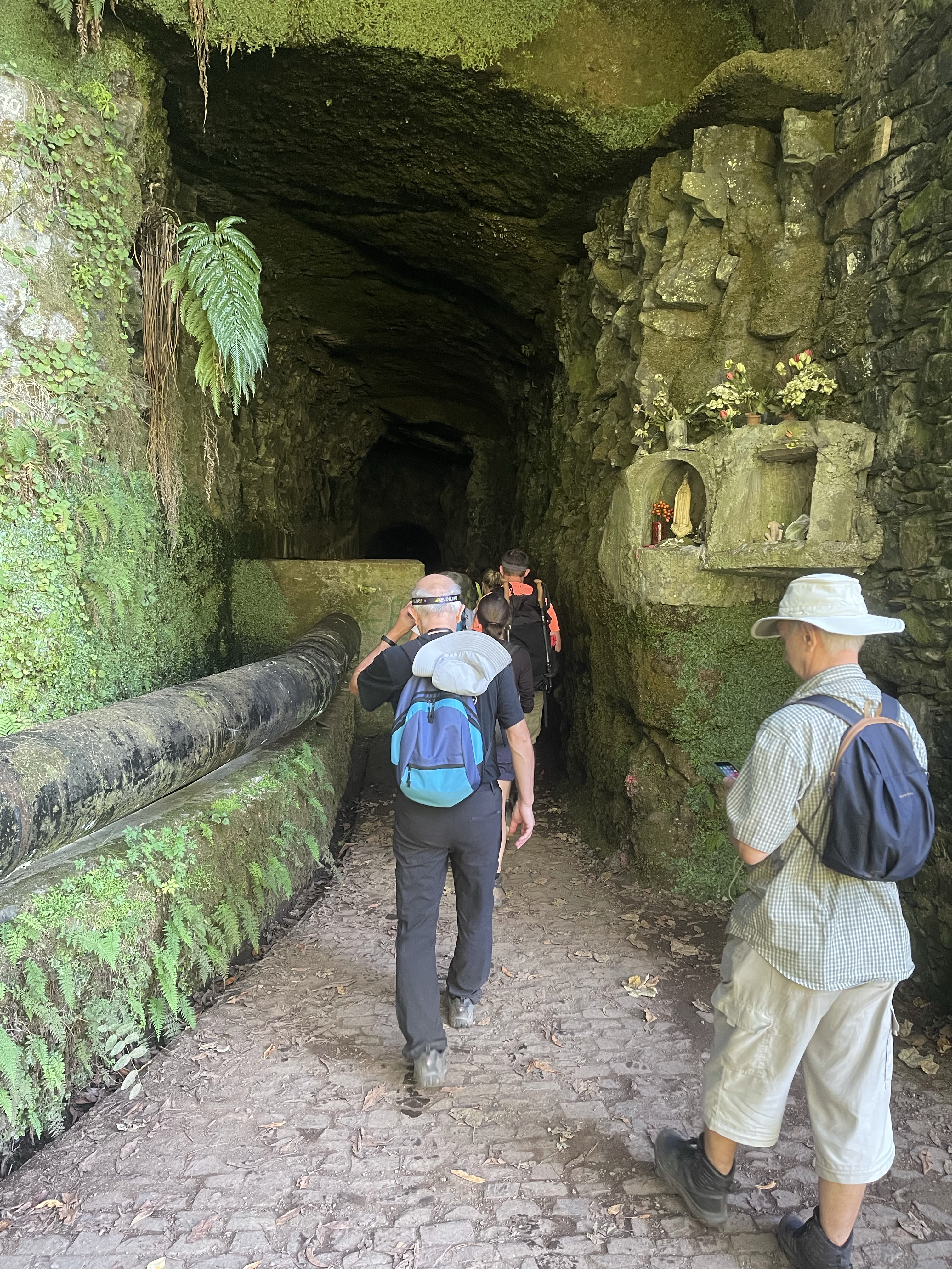
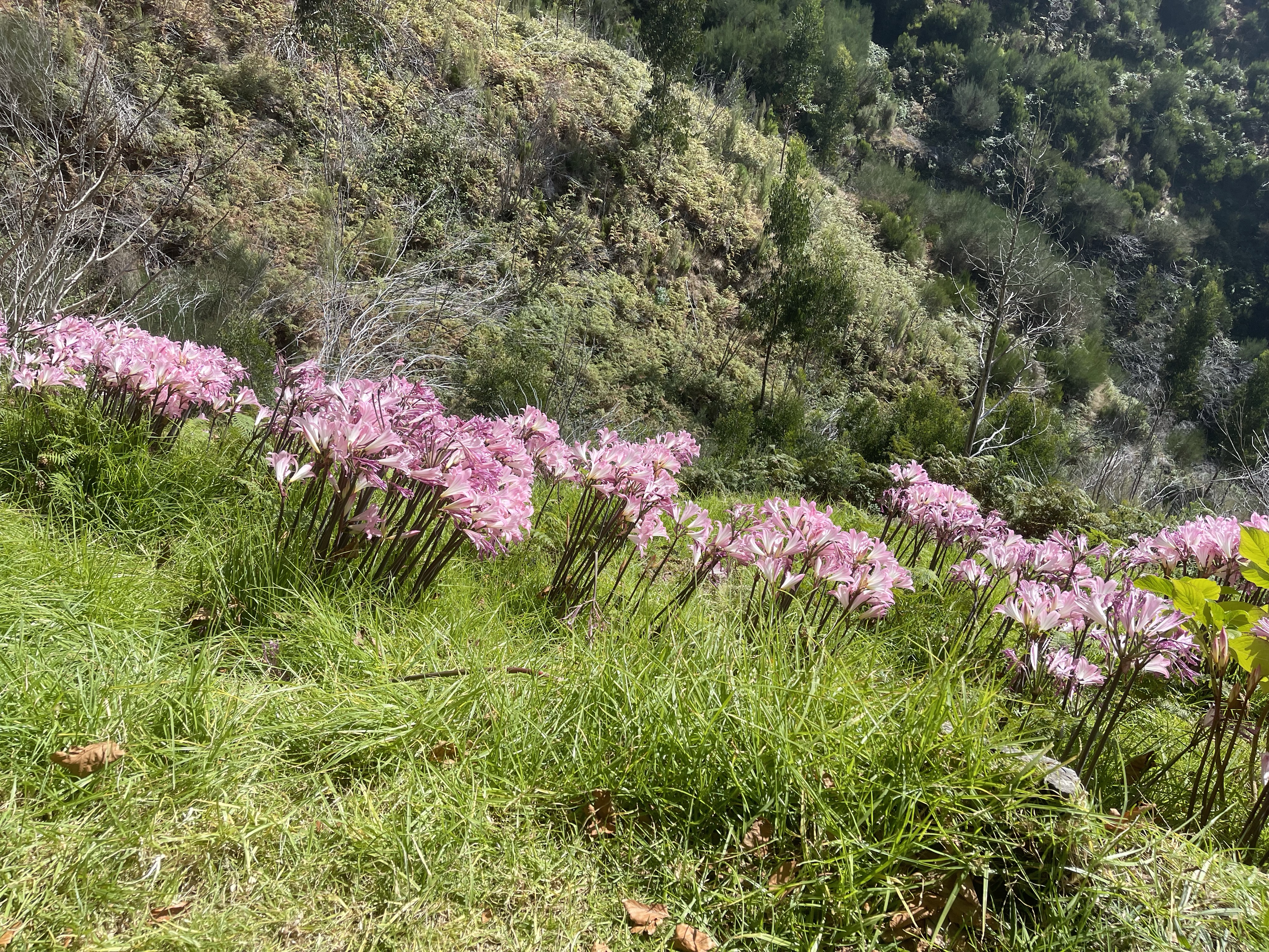
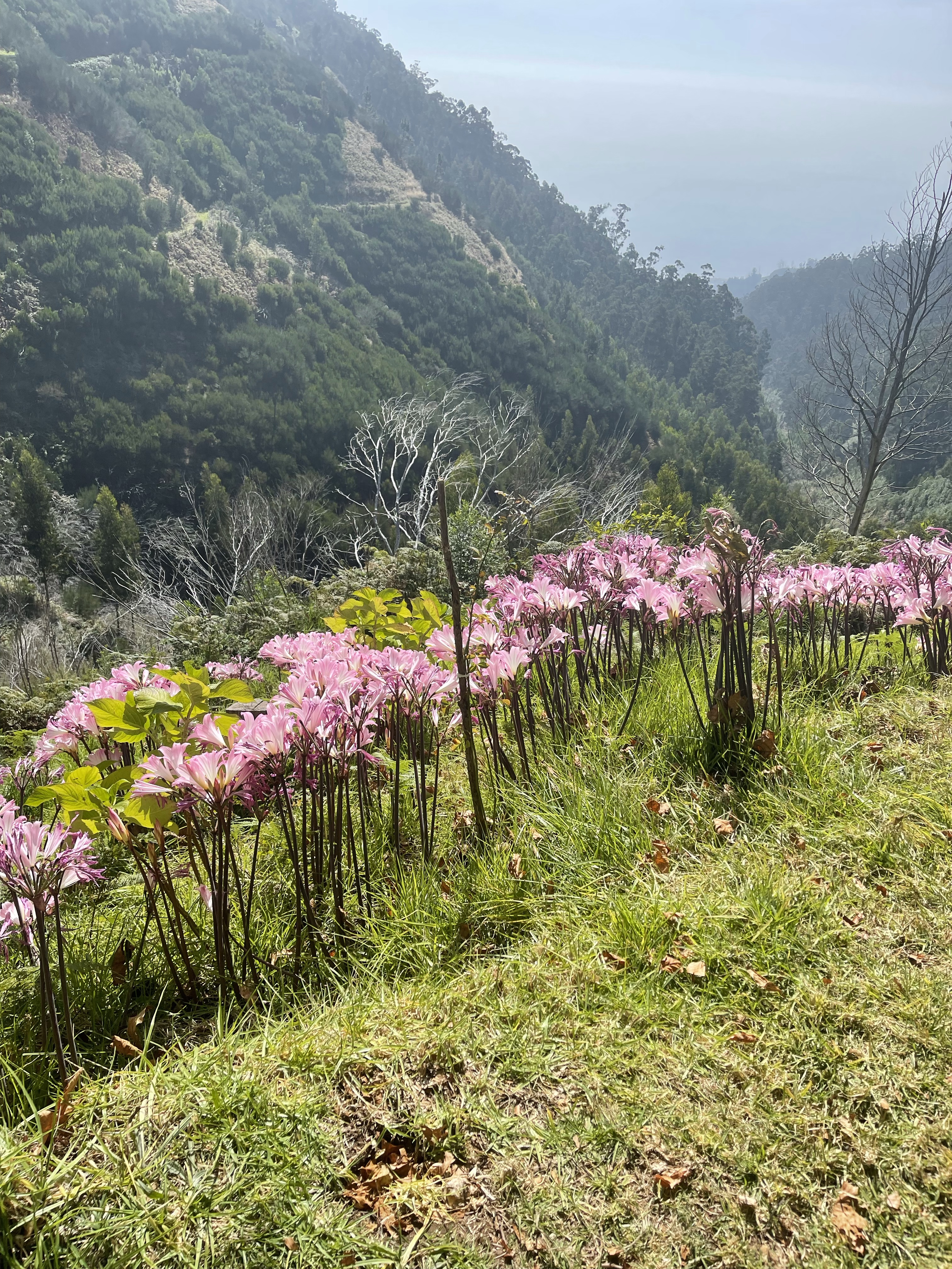
We are soon at an 800 metre tunnel under a mountain. There is an area of dedication at the entrance, luckily no rock falls or landslides during our visit! Quite wet under foot in places and with rather an ugly pipe which takes water down the mountain to a hydroelectric station. The Tunnel dos Cavaleiros takes us through to the valley of Calheta, and the site of abundant Amaryllis growing at the top of the hill.
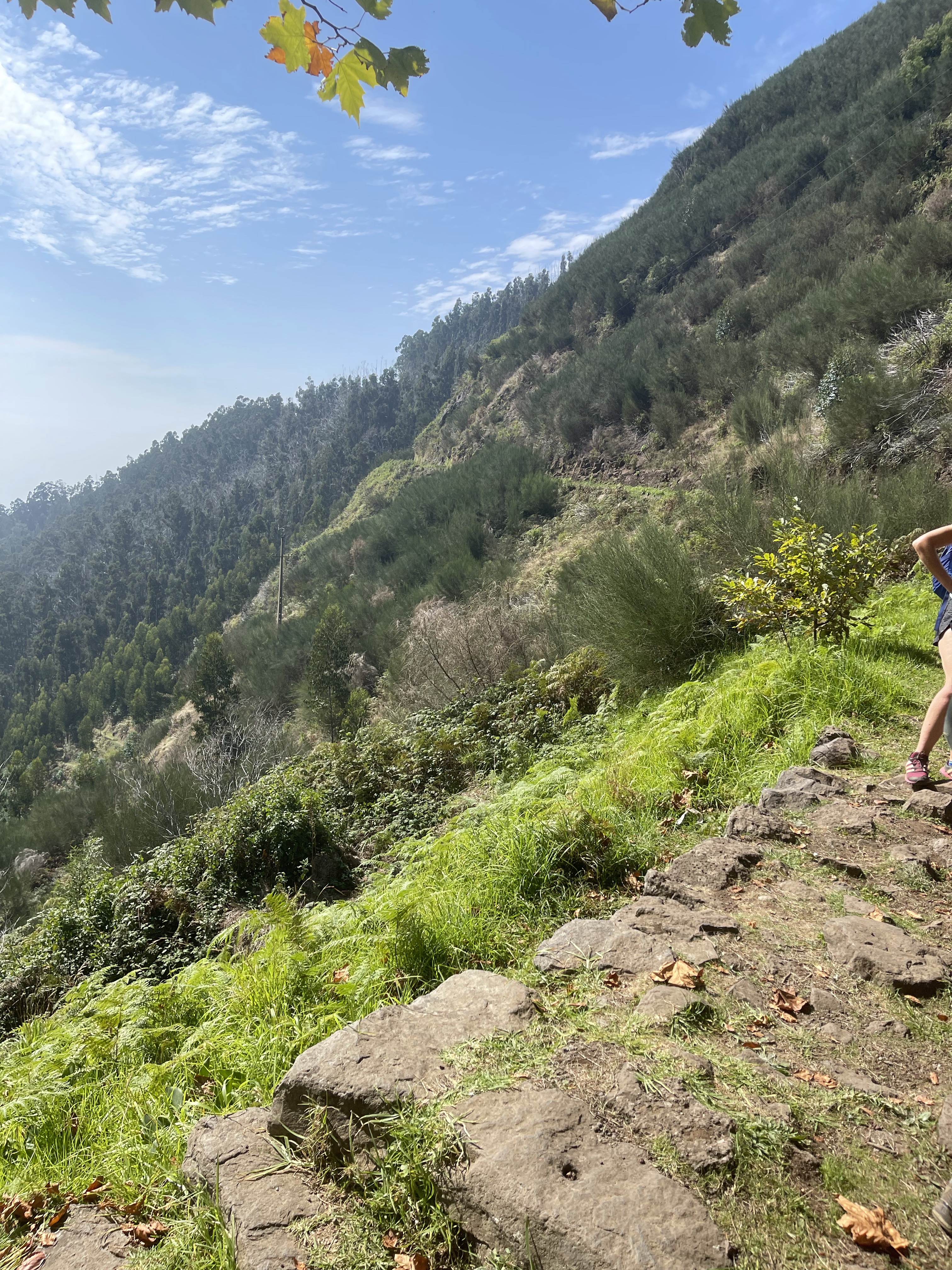
The last section around the head of this valley before we met our minibus just into the tree line. This has been a great walk in wonderful sunshine and was about 13 kilometres long.
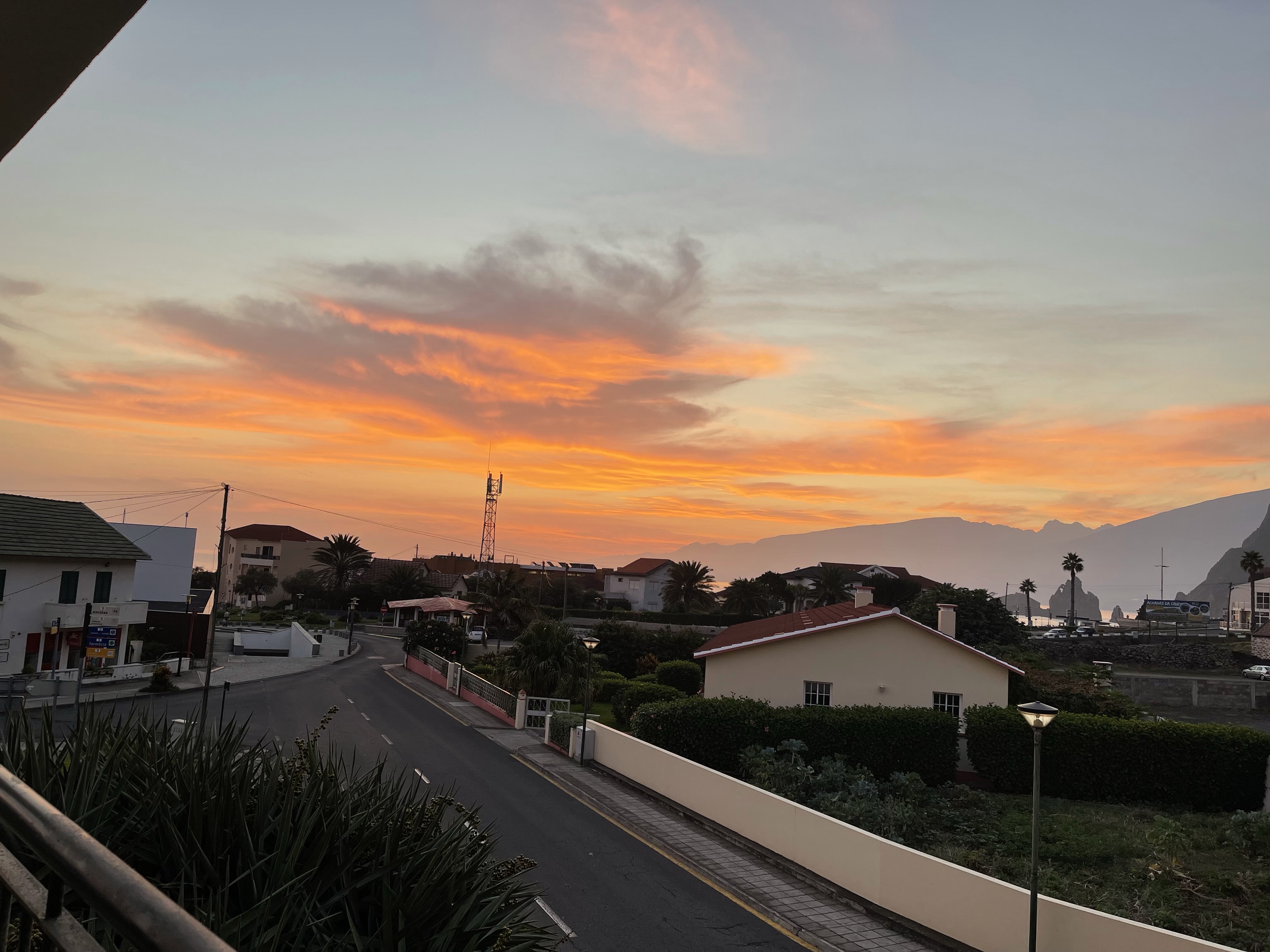
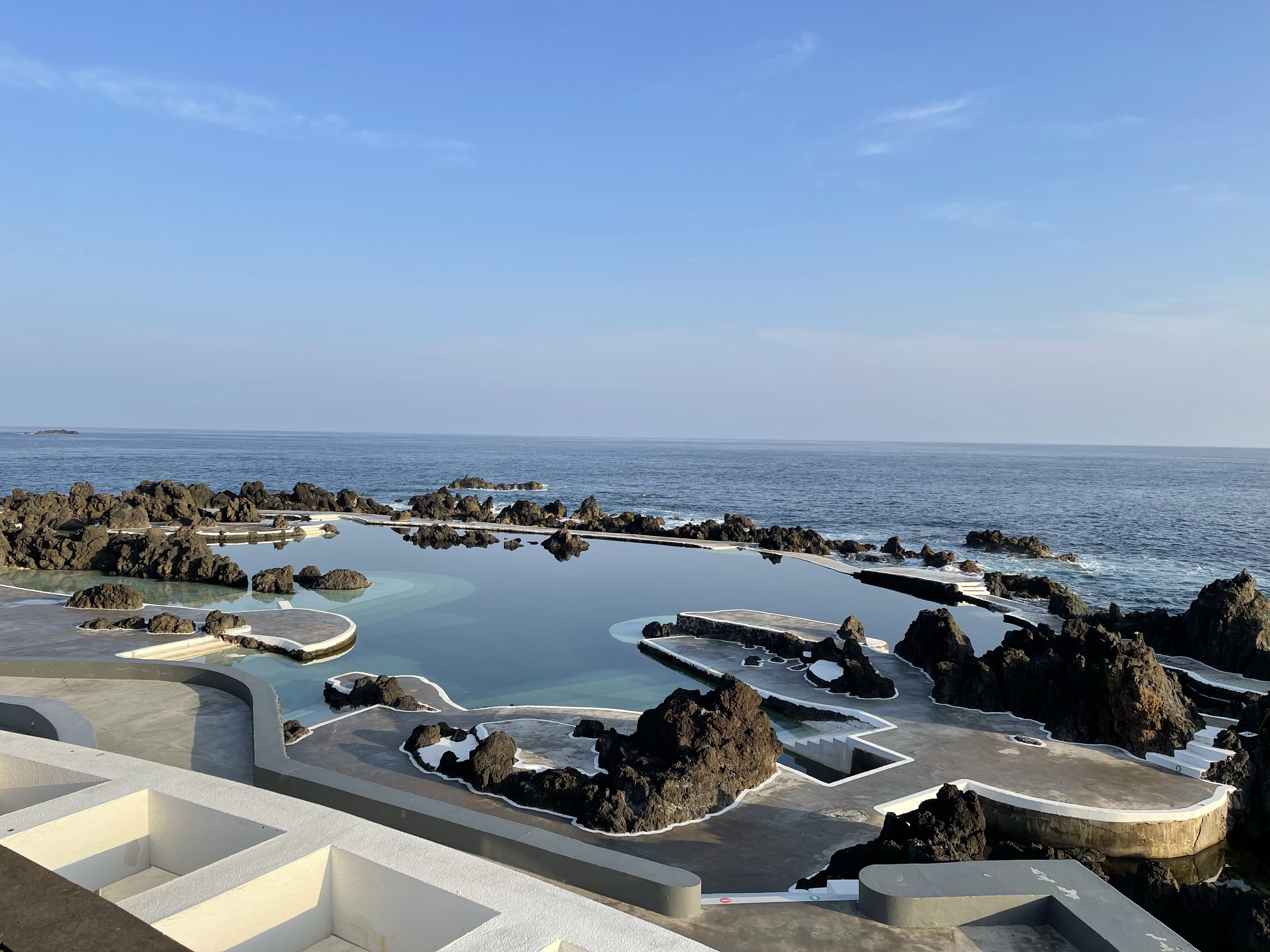
To start the day the sky greeted us with colour as the sun rose over the sea and I looked out from my balcony. A quick look also at the pools filled with sea water.
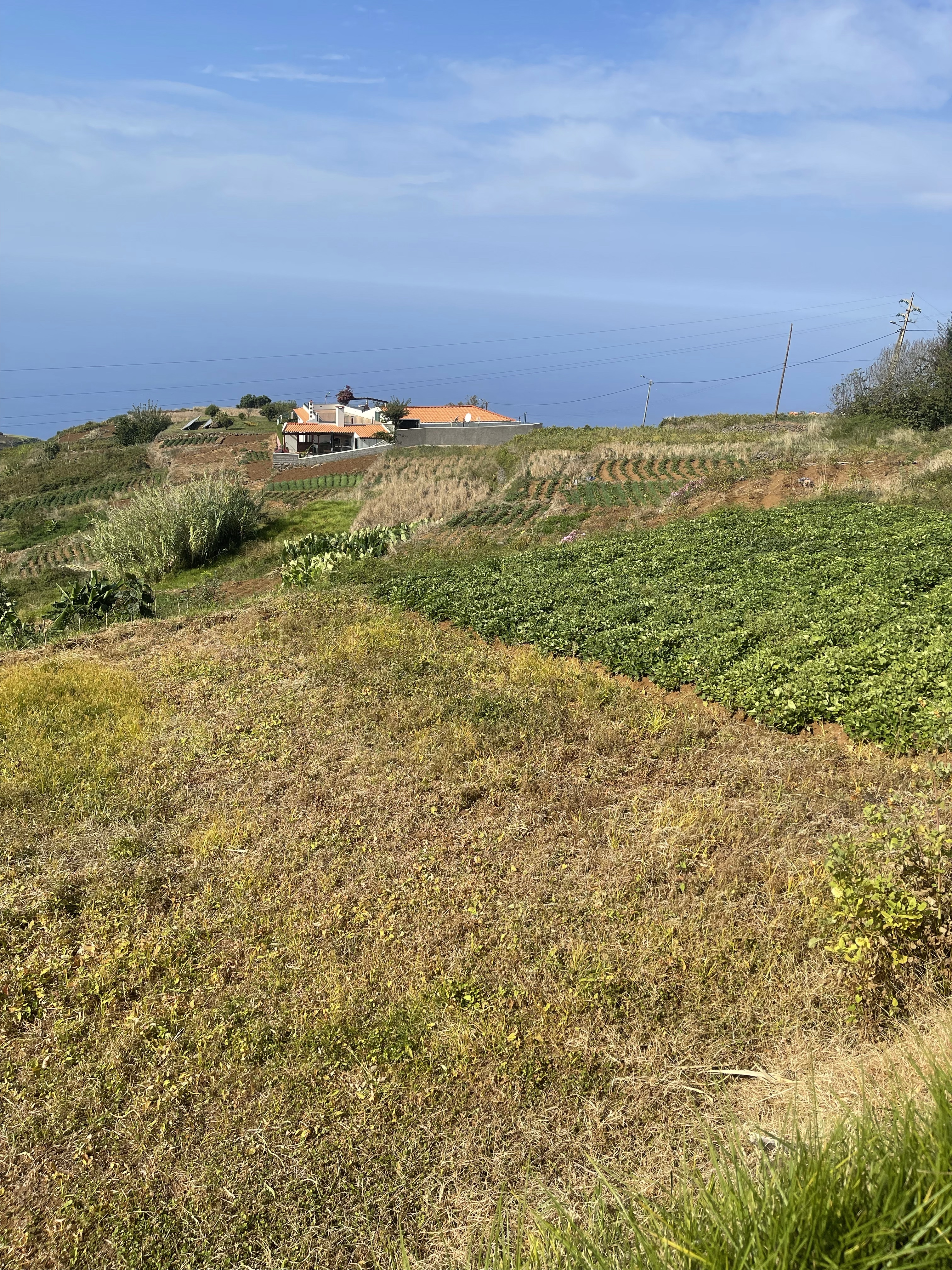
A different much flatter walk today along a newer Levada. This was a much more agricultural area and also passed through several villages.
We started at Faja da Ovelha and walked along the Calheta Levada.
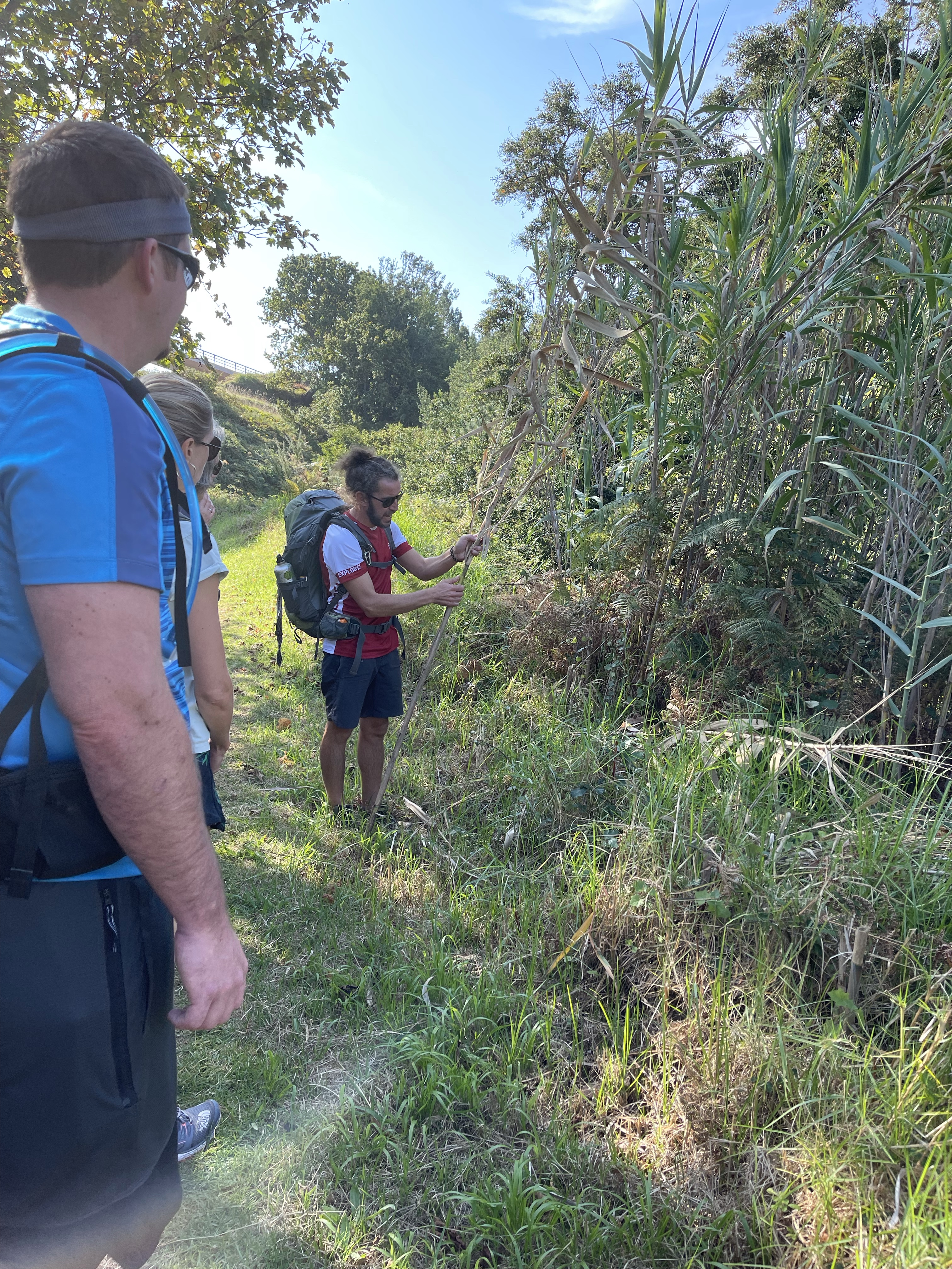
We found various fruits along the way and tasted nectar from a Passion flower.
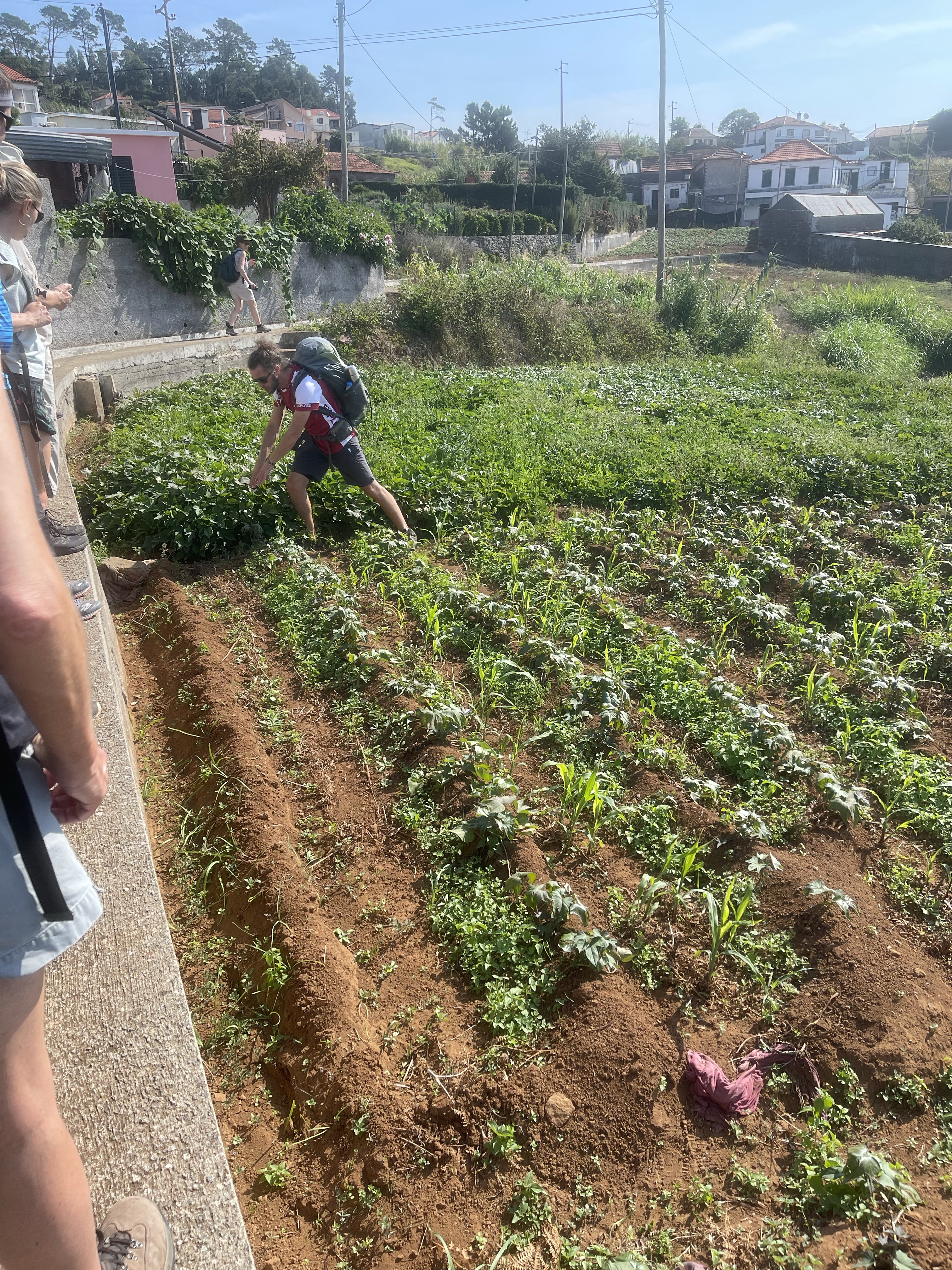
It was interesting to see the range of crops being grown and also to look over to the terraces where vines have been growing for many hundreds of years. Sweet potato is quite common. Benny explained the very labour intensive way the irrigation is used with old clothing blocking the way to the next furrows and demonstrating how long it would take to move down the field.
Some areas were very lush and it’s always interesting to see plants that we would consider house plants, growing wild. There was also a certain amount of forest even nearer housing. We stopped for lunch in an area next to a road with picnic benches, a tap and a BBQ space – very civilised.
The Levadas are maintained by filtering off debris and land owners are able to switch the direction of the channels from the main water route, but only for limited and agreed times.
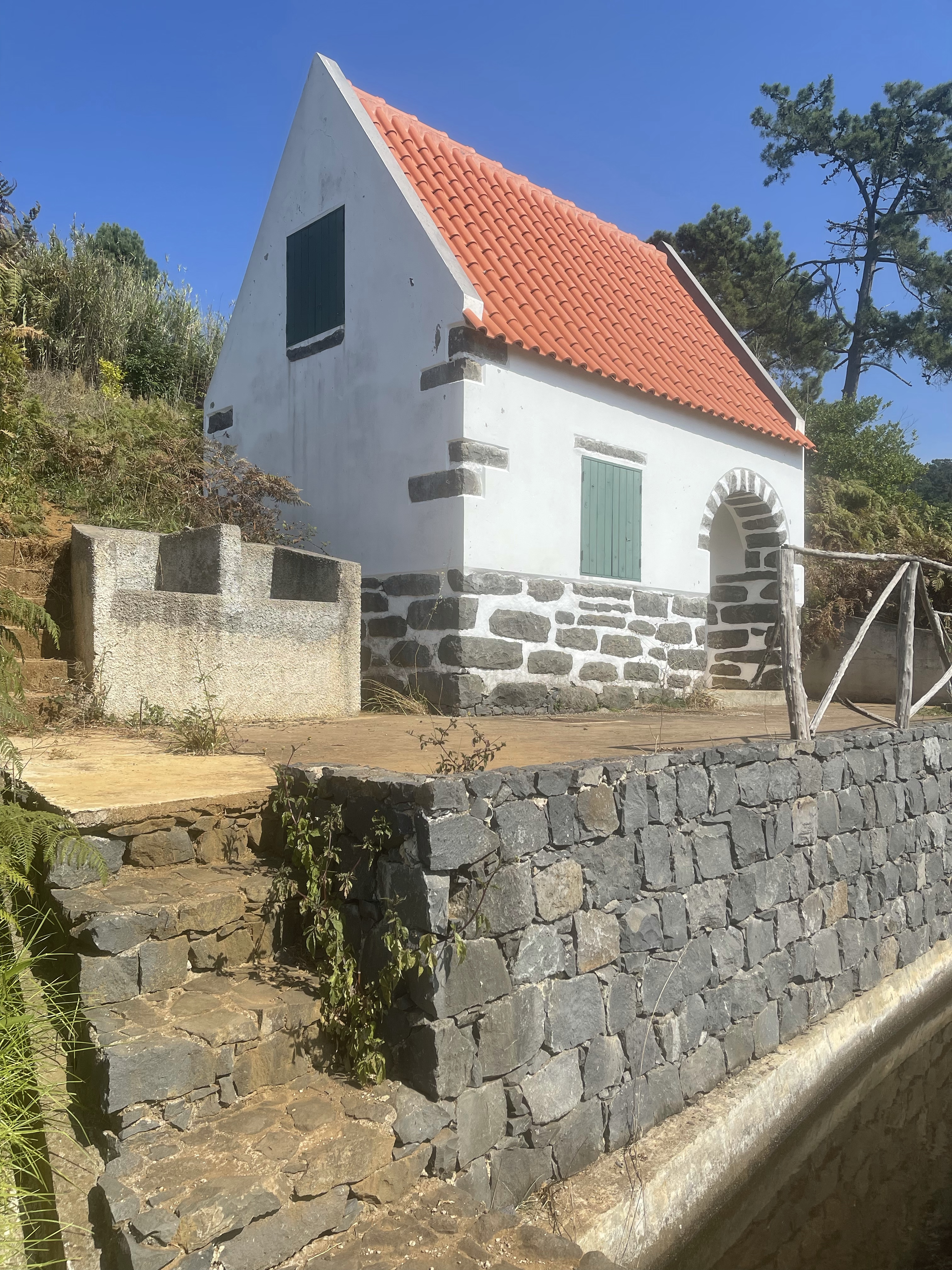
There are also a few places along the way which could be used for shelter.
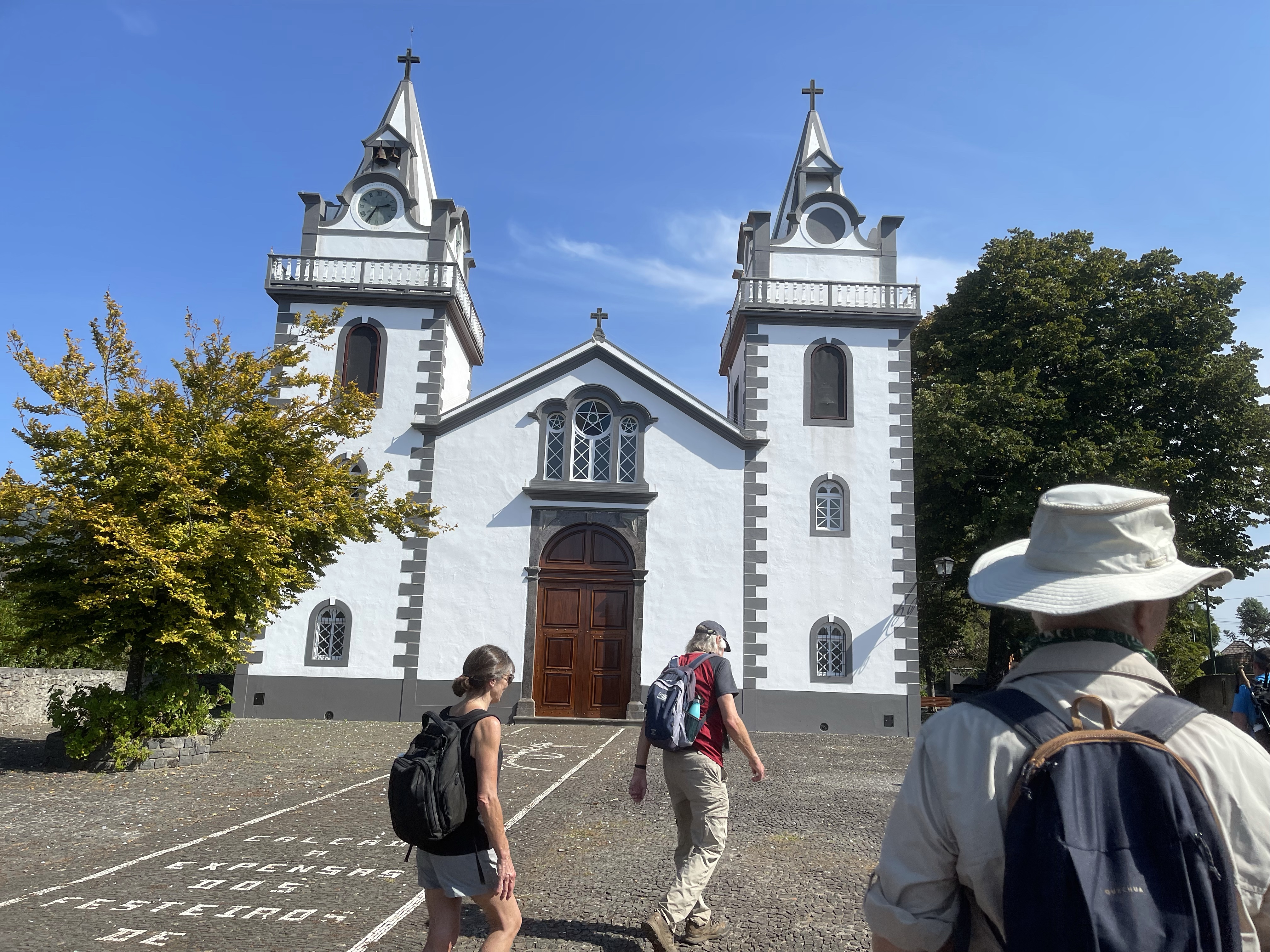
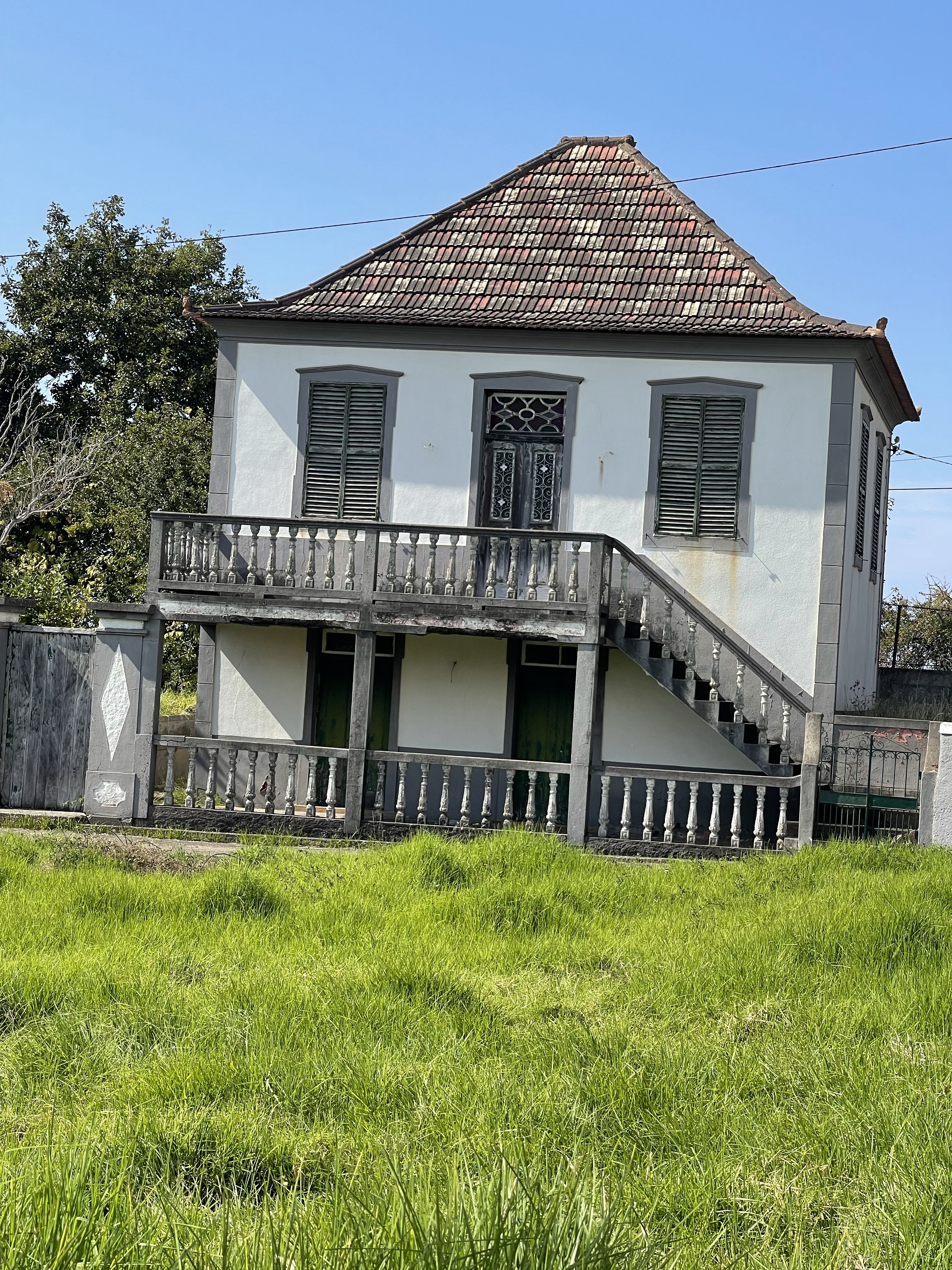
This was an interesting walk which ended in Prazeres and was about 8.5 kilometres, both in and out of the shade. Prazeres can be translated as ‘pleasure’ and we visited a classic tea house which specialised in a hot spice cider and jams – a strange combination but had to be tried. an interesting mix of architecture as we arrived in this area.
There was an option to walk down a very steep path which lasted for about 1.8 km and descended 500m. It was a special design with curved steps which the locals used to use to transport with the wicker baskets, featured in walk 5.
I and two others chose not to do this as I felt that that amount of stress may not be beneficial to my hip muscles. I spent the rest of the week regretting missing this part of the walk but it probably was the correct decision.
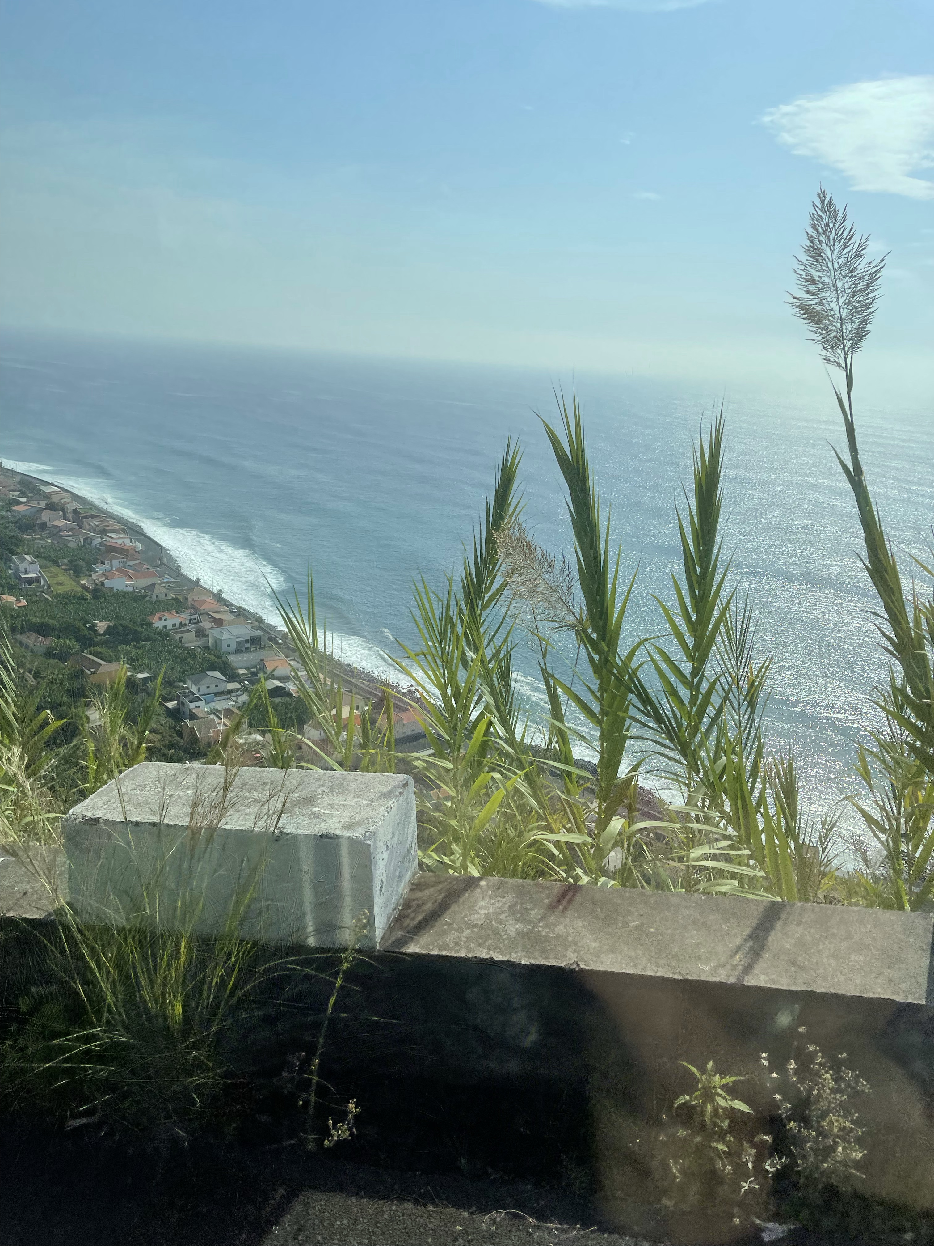
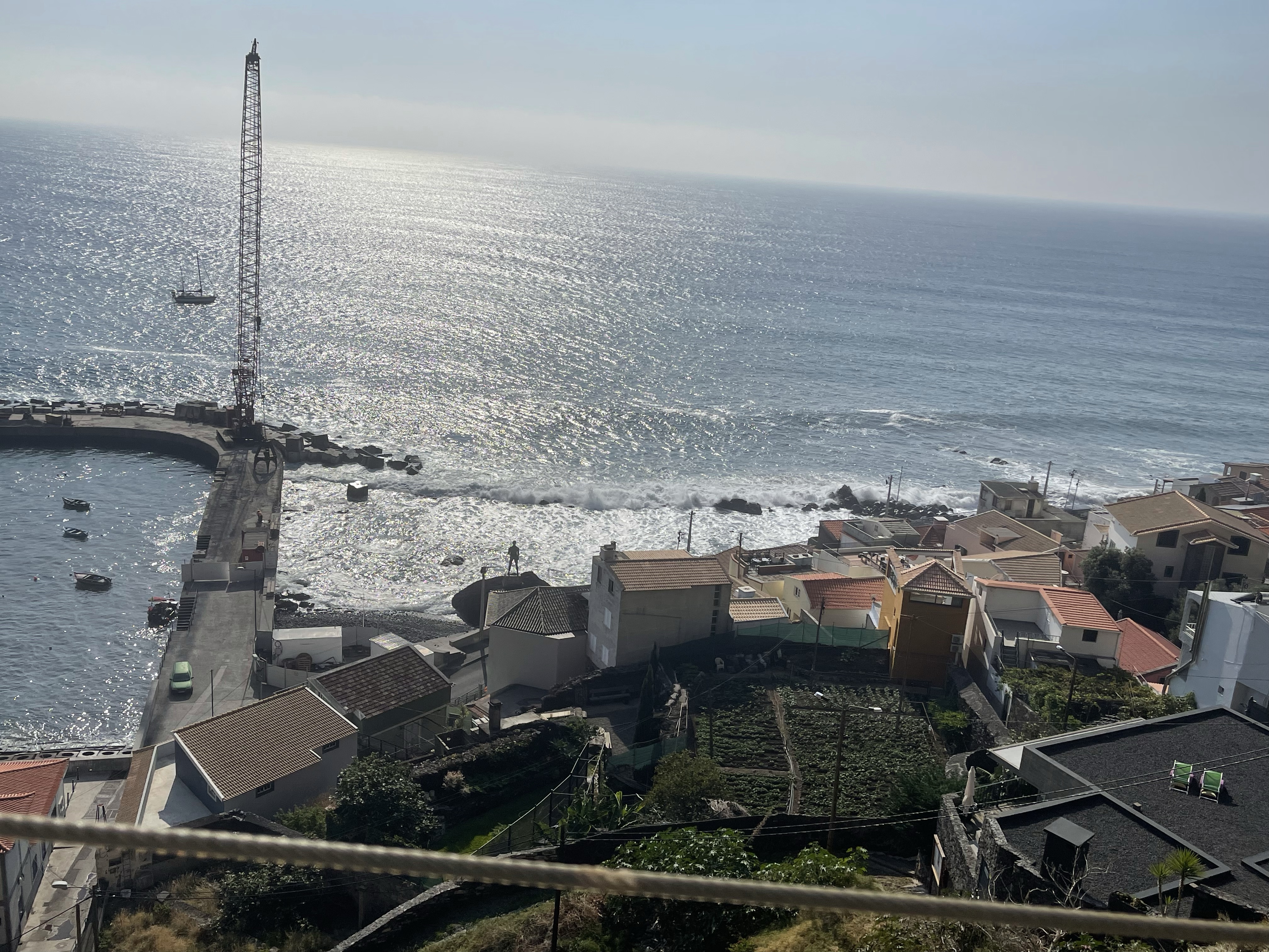
So having taken a rather spectacular journey down in the minibus ….
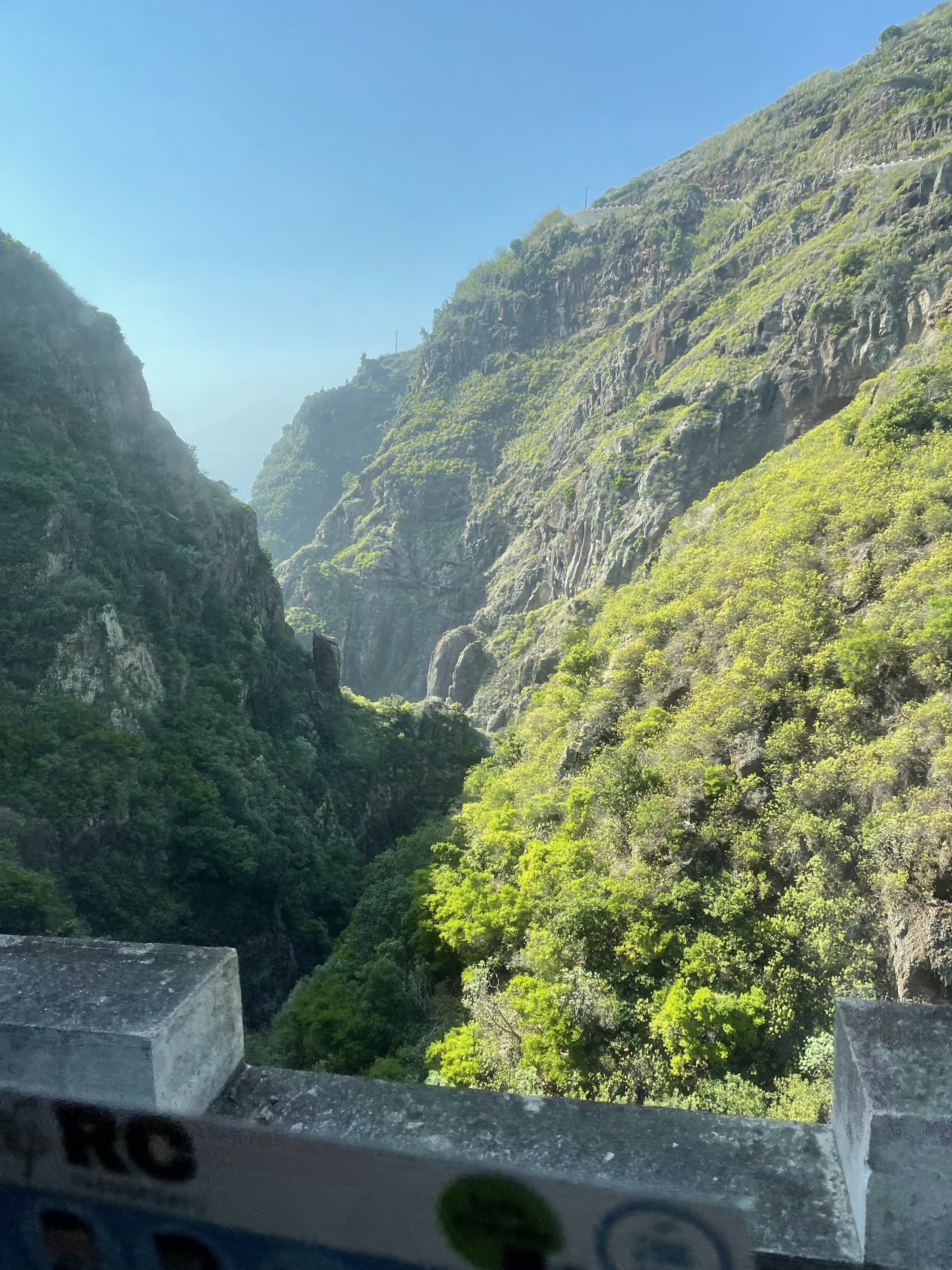
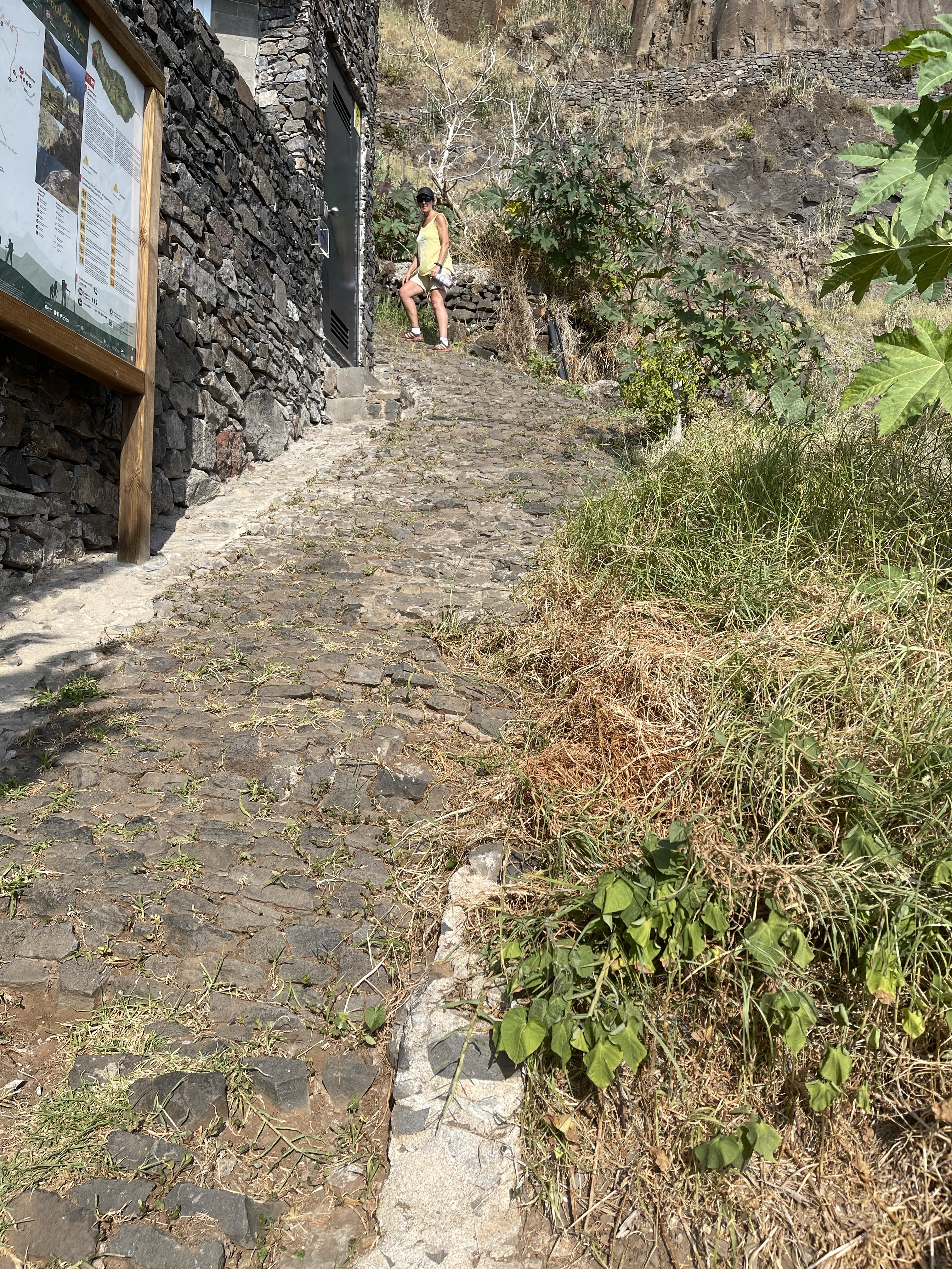
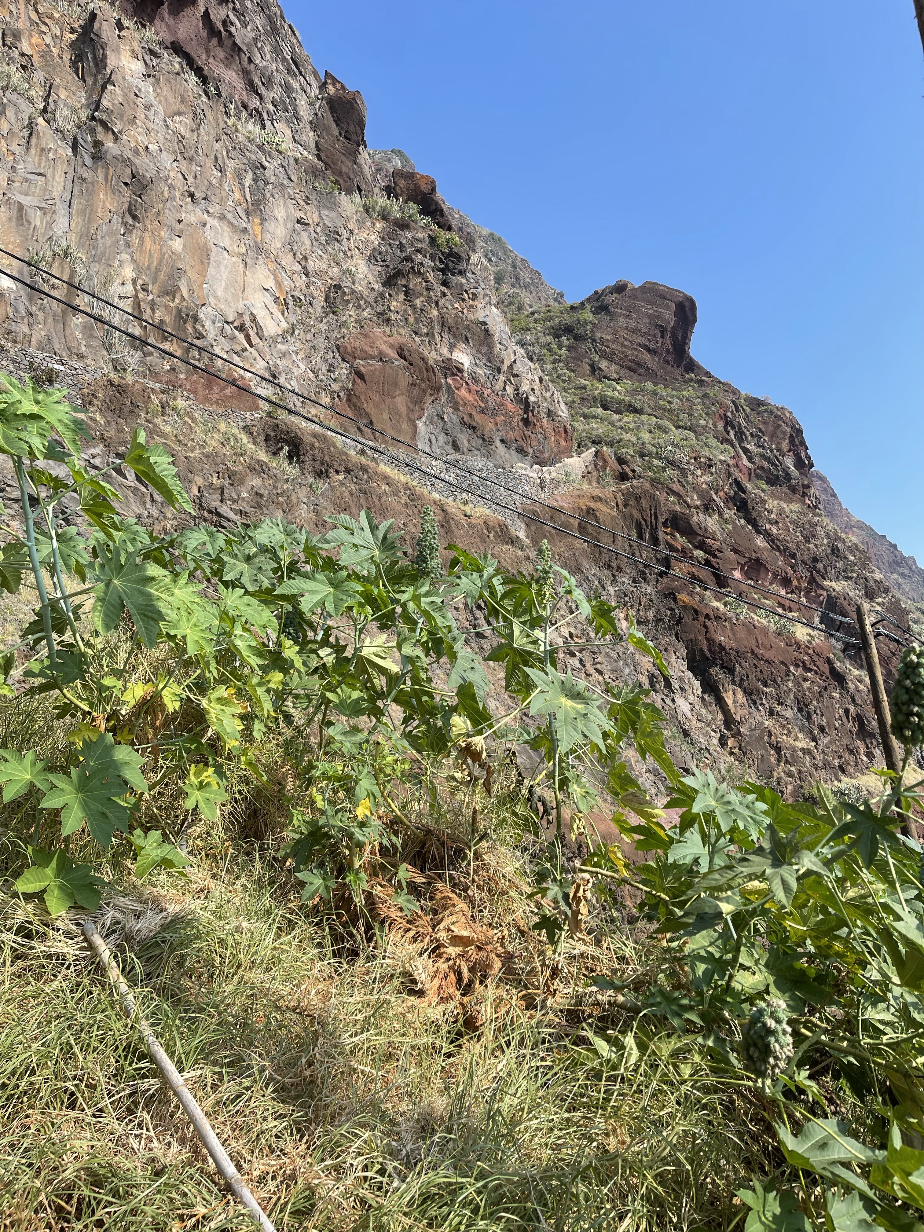
Eileen and I started to walk up the hill to at least experience a small section. It started at street level in the town of Paul do Mar with a discrete passage way and typical basalt path, very black and polished looking. It soon changed to something much rougher and went steeply up hill. We aimed first for a veranda we could see beneath the rock face. Having met Liz there she advised us that it was up a bit and flattish around the next corner! Another member of the group appeared at this point and we decided to return back down to sea level and a beer!
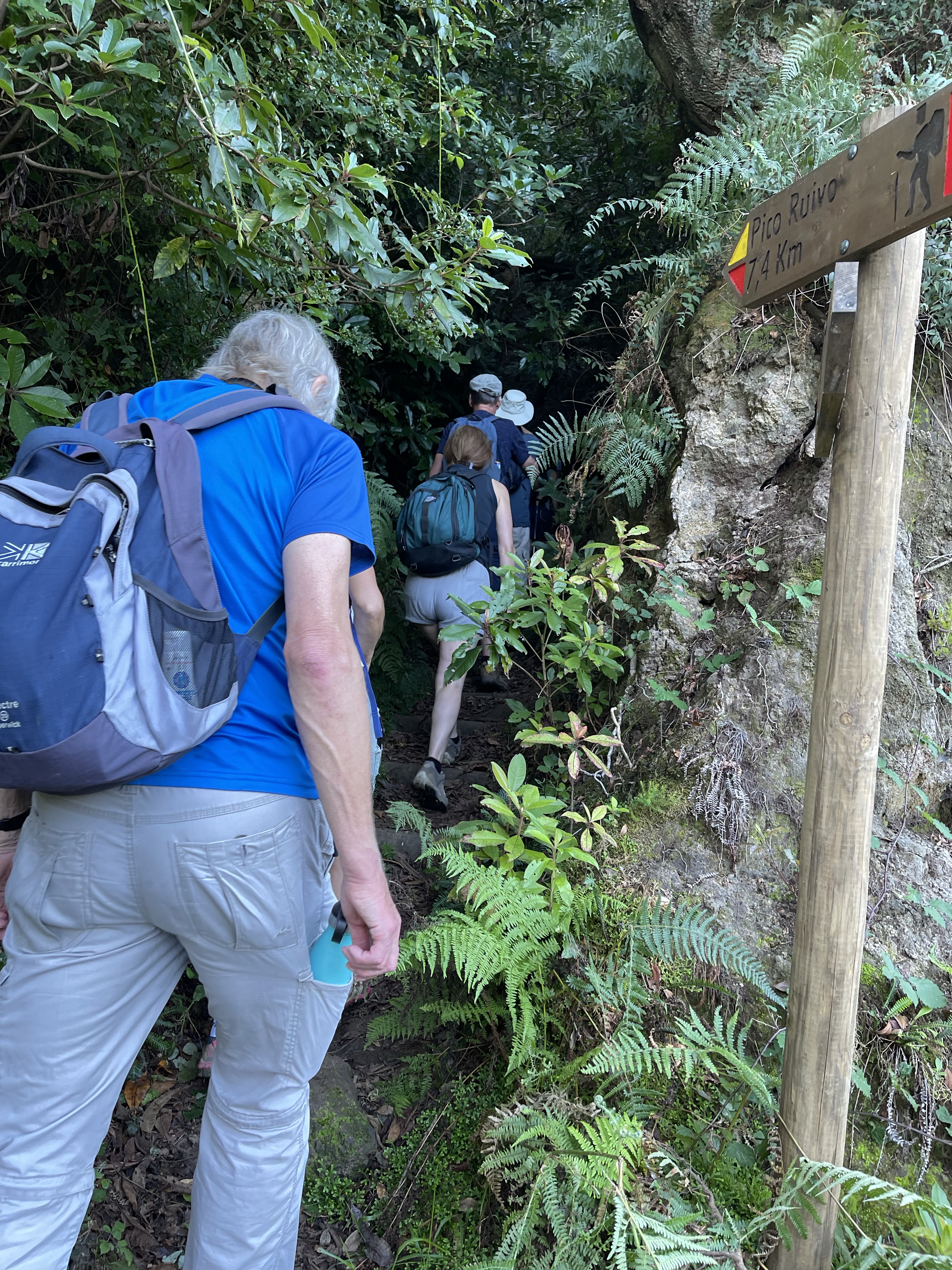
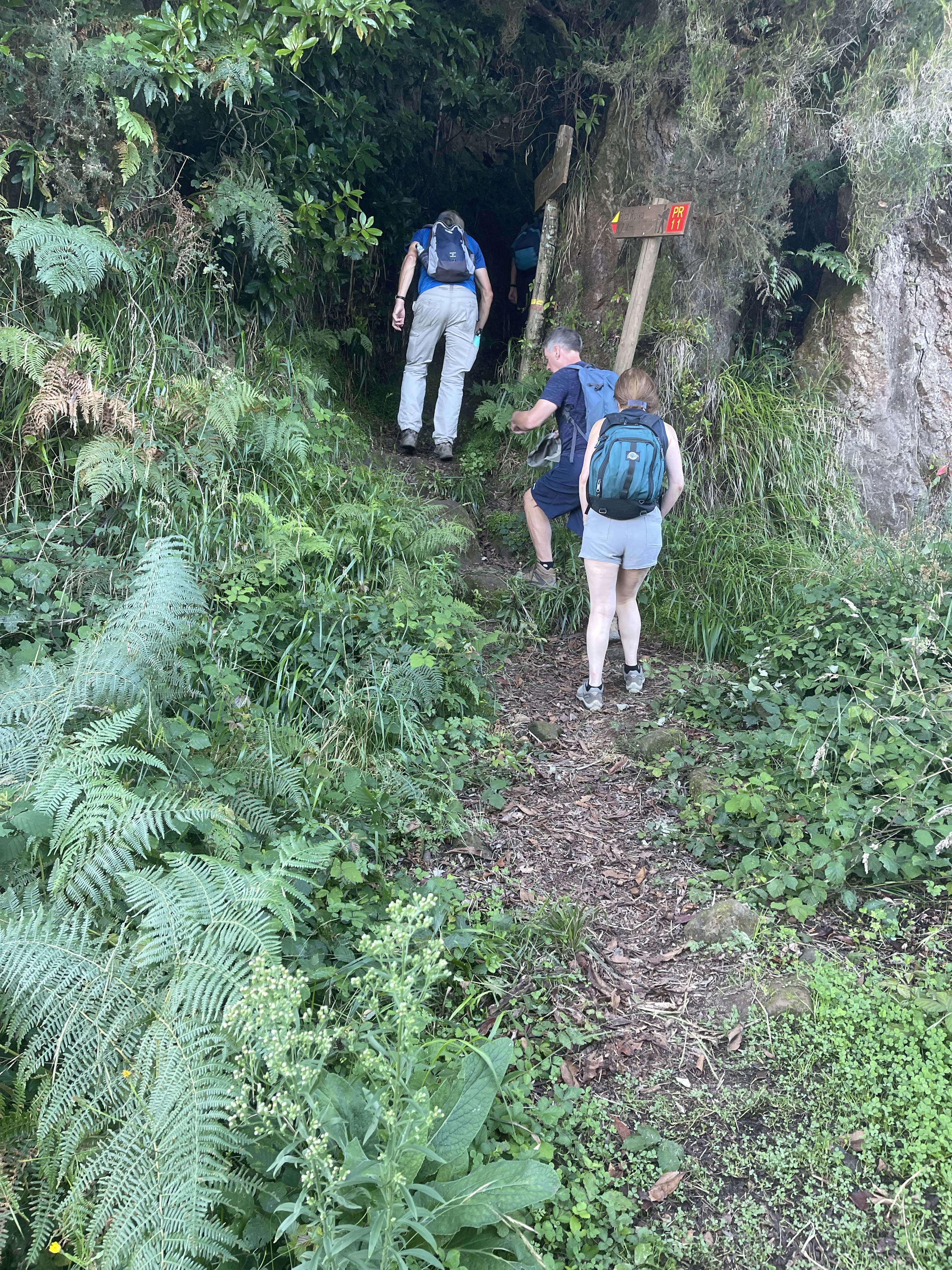
Today’s walk started at the village of Ilha which was the reverse of the original advertised route. This meant that very quickly we were walking steeply up hill with steps cut into rocks and with a mix of mud and stones. Rather unrelenting sections meant we just kept going up! The use of one of my poles proved very helpful.
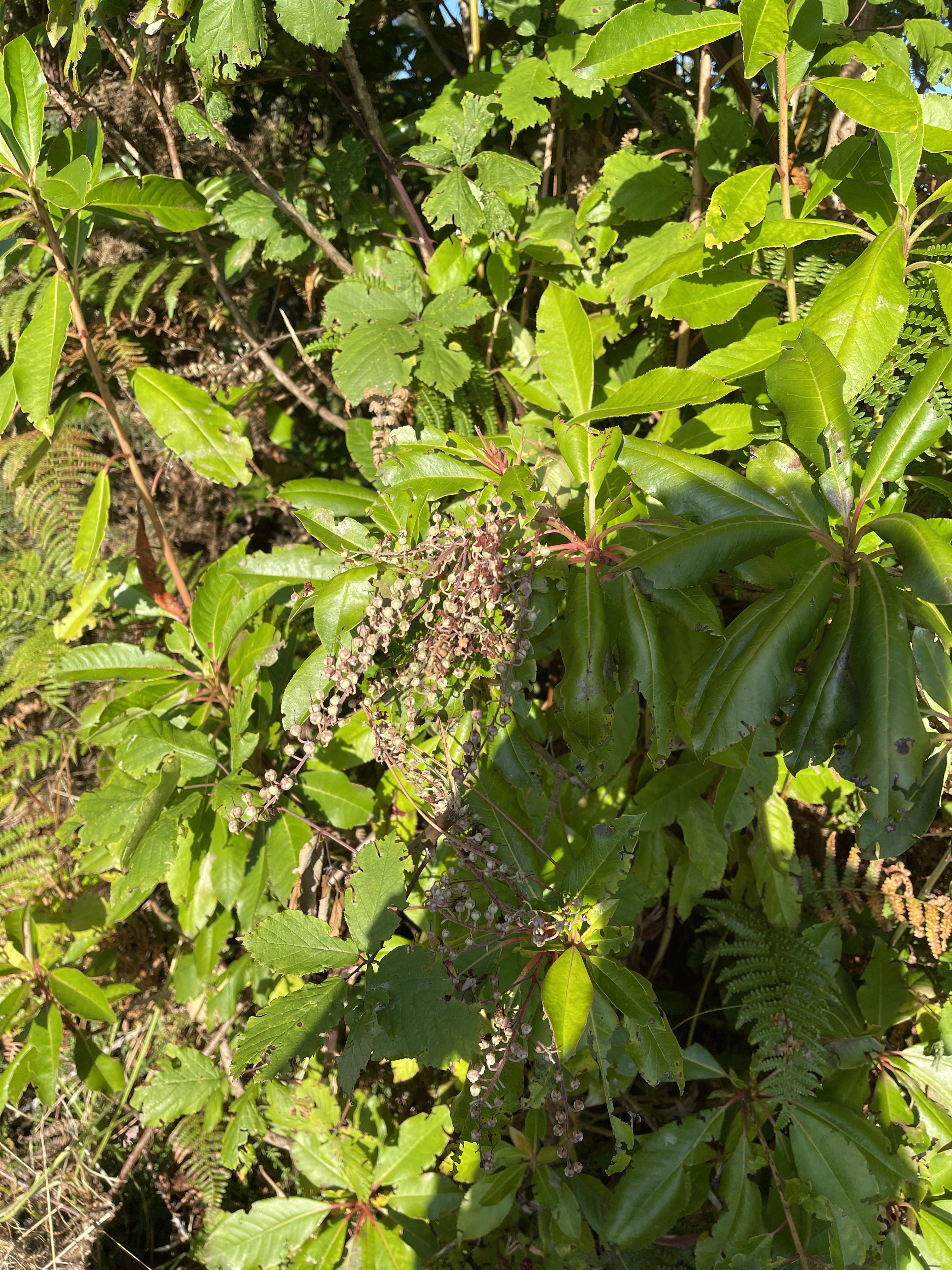
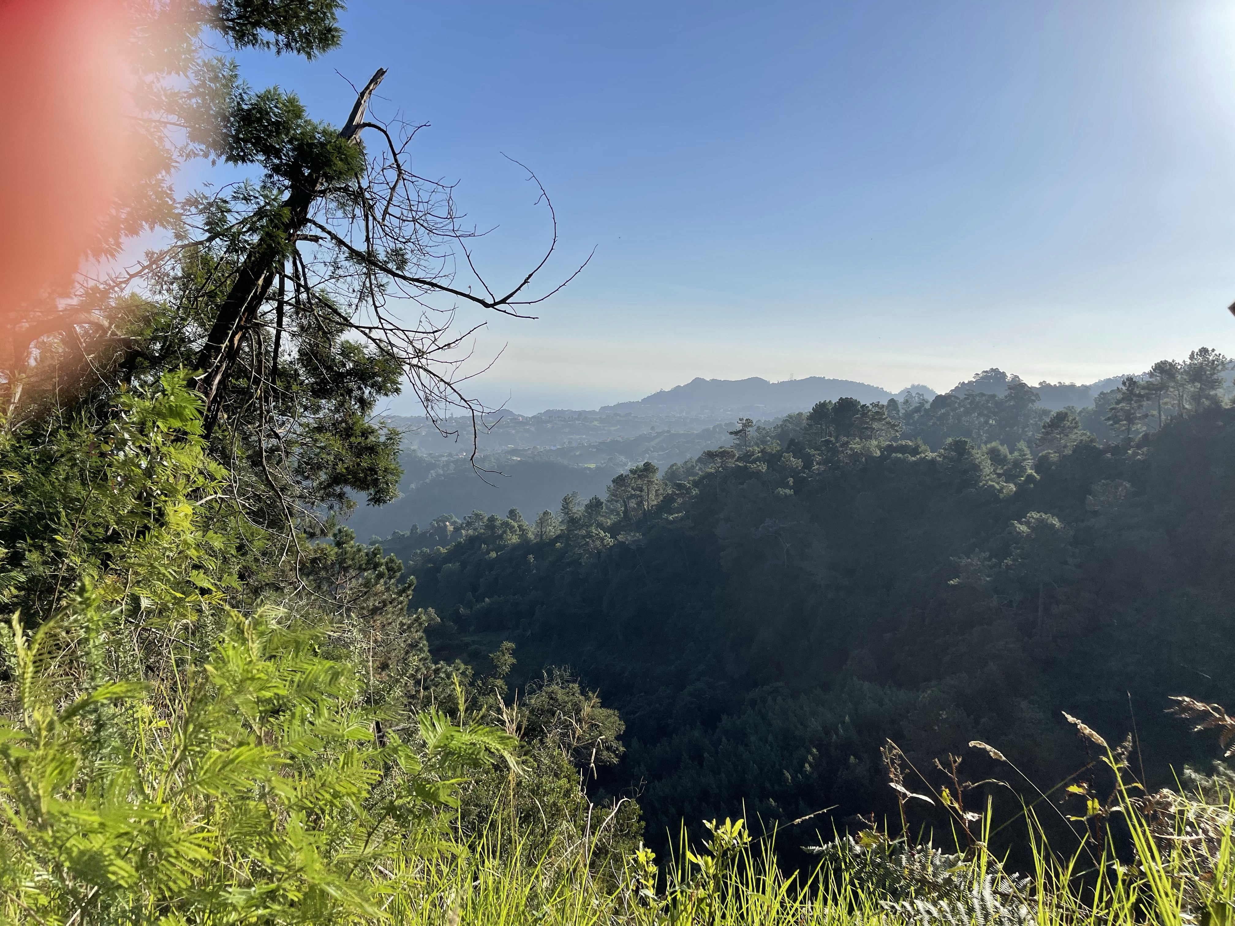
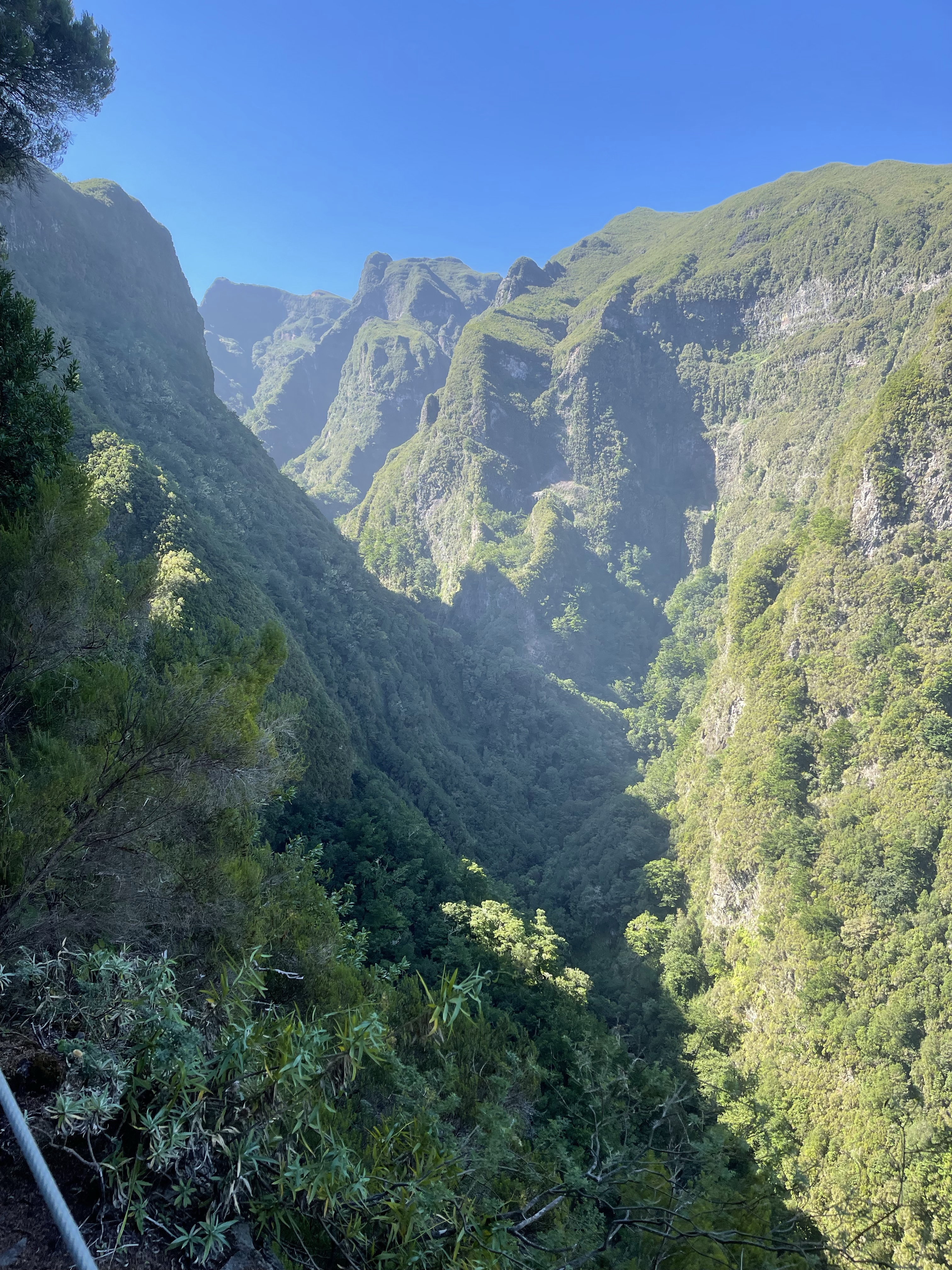
We started our walk with amazing views and as the area was a UNESCO protected Laurel forest there were interesting plants to see.
And then the steps started! This was really hard work as we climbed from 500 metres above sea level to 950! There were some flat bits and some amazing scenery.
After continuing for quite a while we arrived at our coffee spot. Our guide Benny provided an amazing Madeira ginger type cake and hot water to make coffee or teas – on the first day he had given us all a beaker !
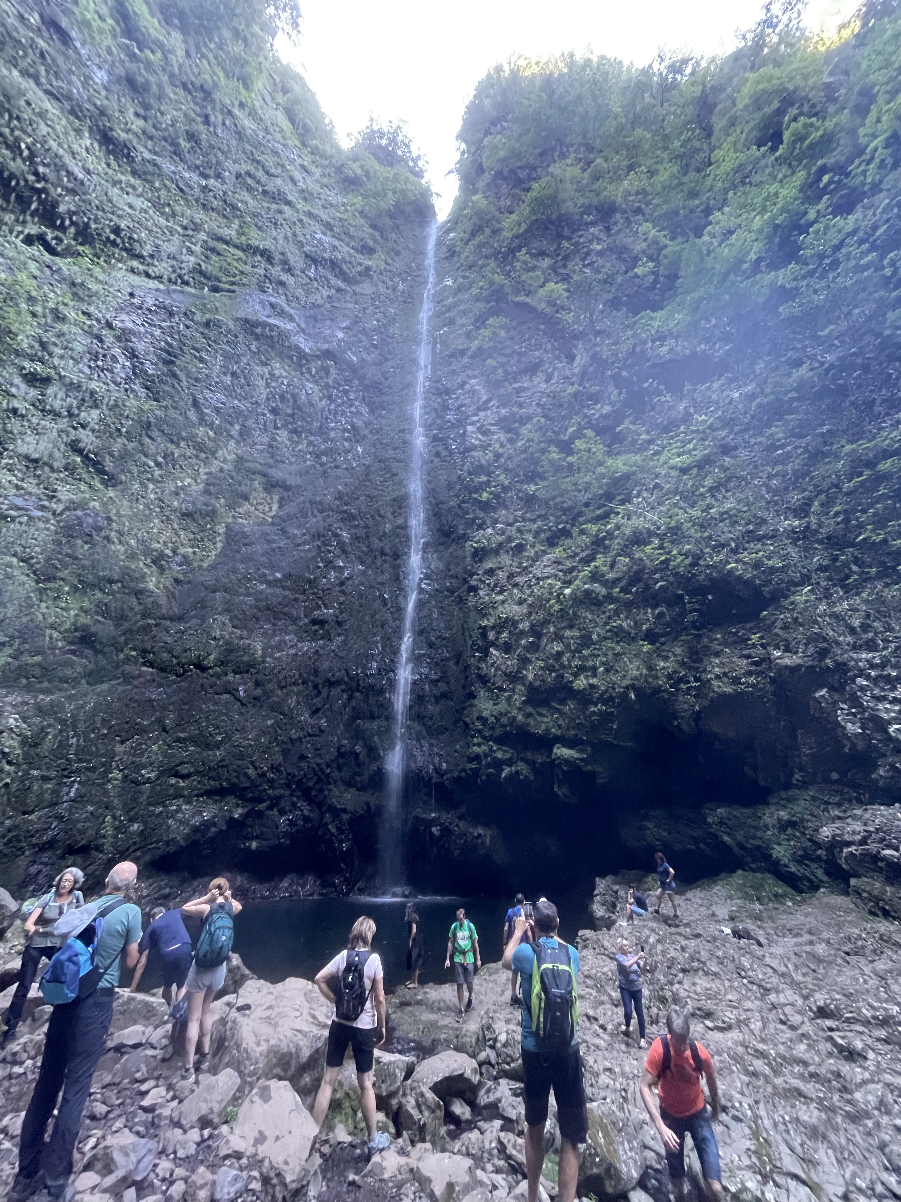
Our destination before lunch was the waterfall of Caldeirao Verde. This green cauldron is a natural amphitheatre with water pouring down into it.
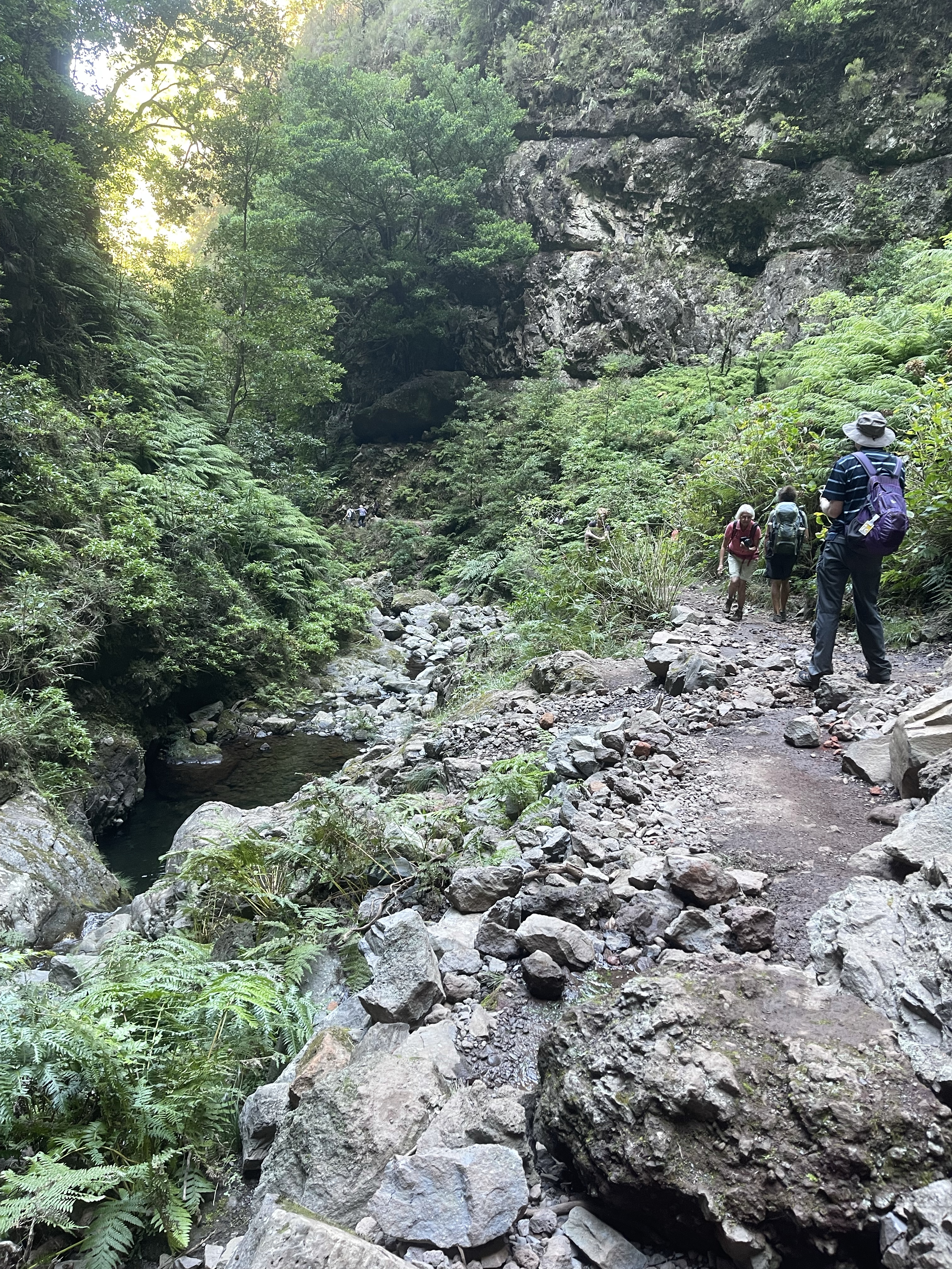
But before reaching there more beautiful forest, our first Levada built about 300 years ago and some tunnels!
Not too many people but occasionally there were those that needed to pass, luckily some more agile ones straddled the Levada preventing us from having to lean against the flexible fence between us and a very long drop!
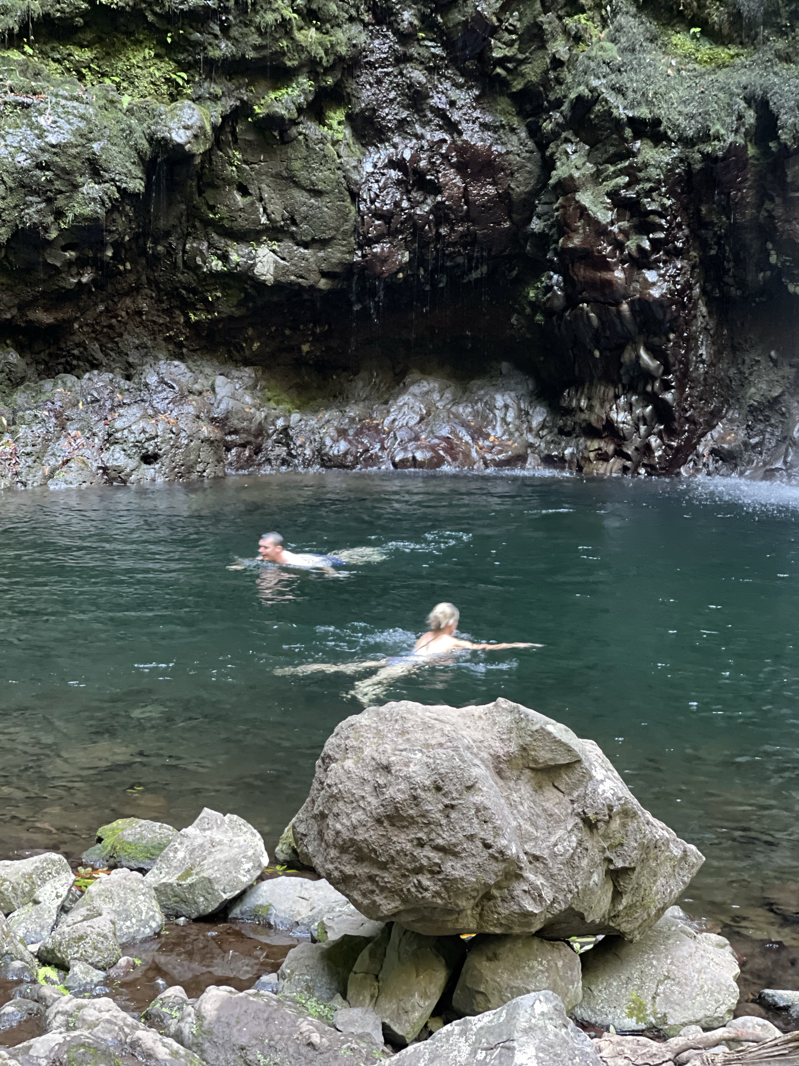
Two very brave and younger members of our group went for a swim – about 9 degrees! Next stop was lunch !
We back tracked through the tunnels and along the Levada before our final tunnel and then a quite gentle descent to Quimadas.
This walk was about 13 .5 km with a considerable amount of ascent and descent. My Fitbit went mad possibly because of my pole and gave a completely inaccurate reading so this route map is borrowed!
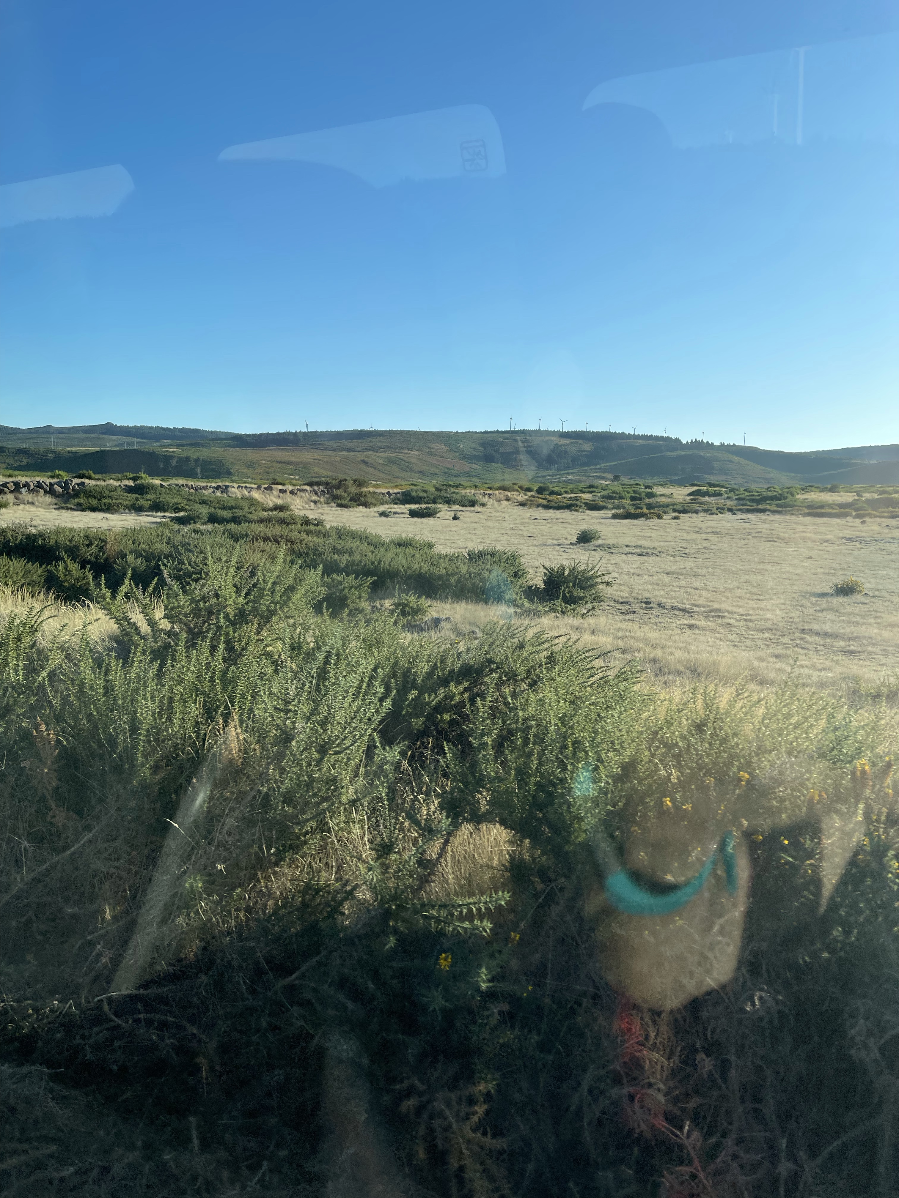
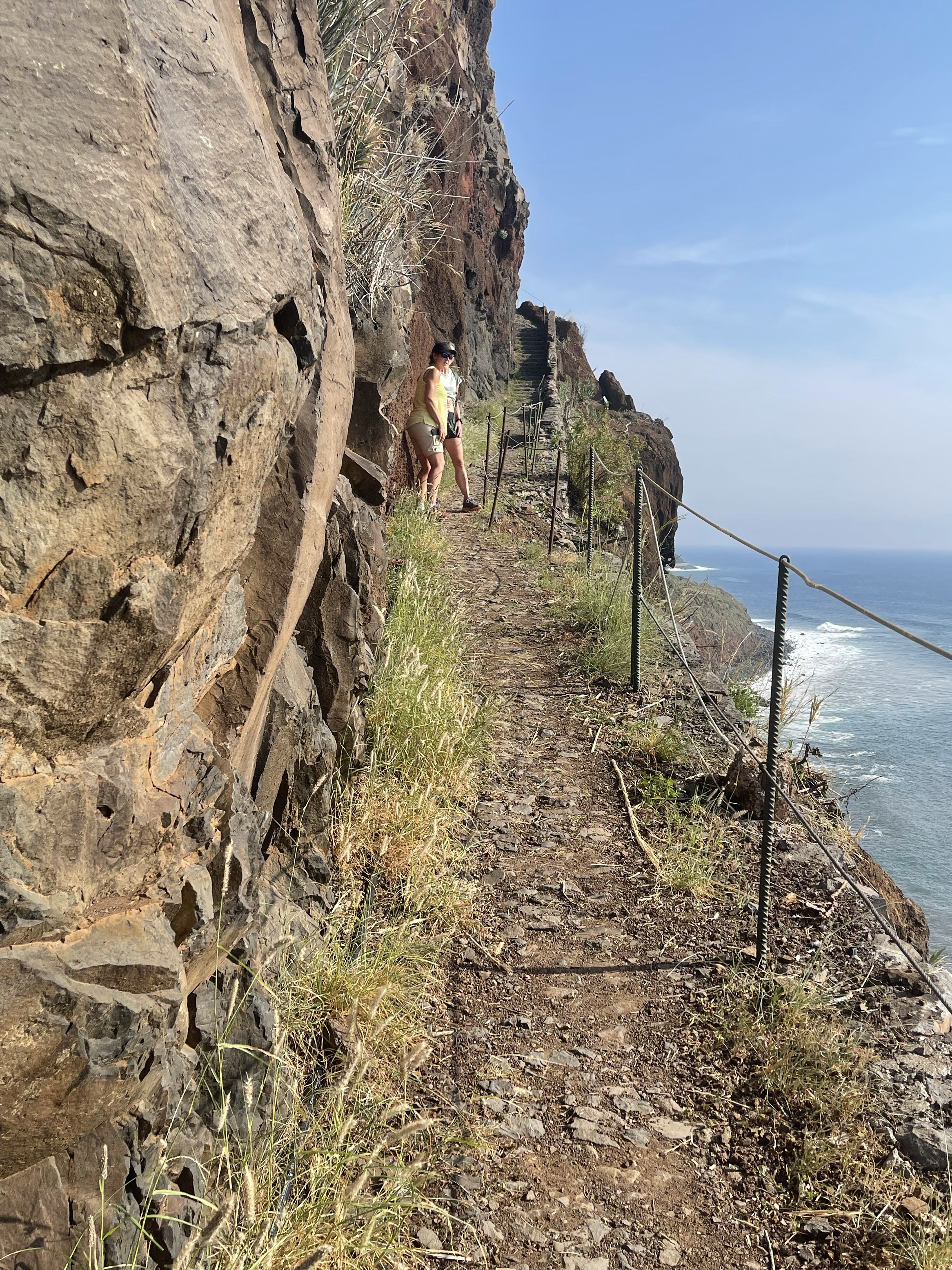
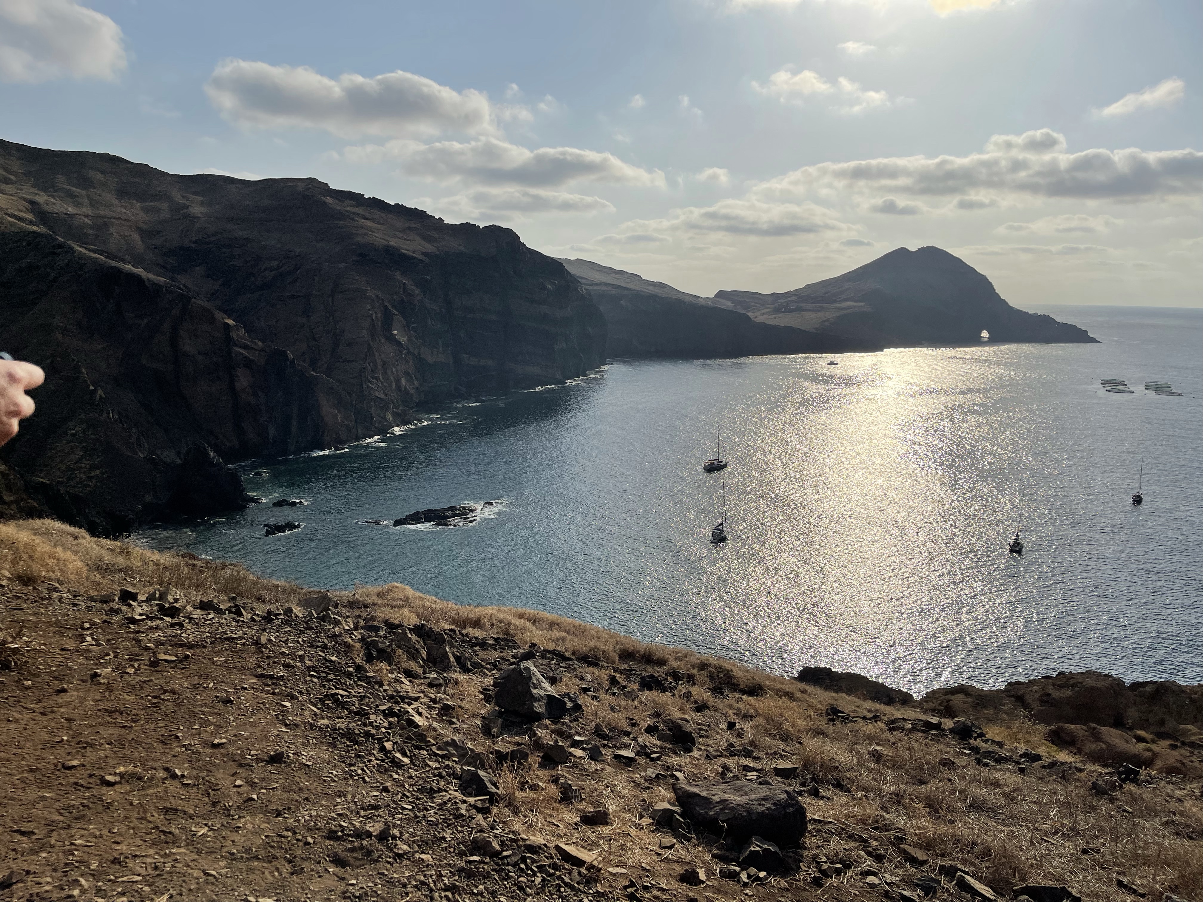
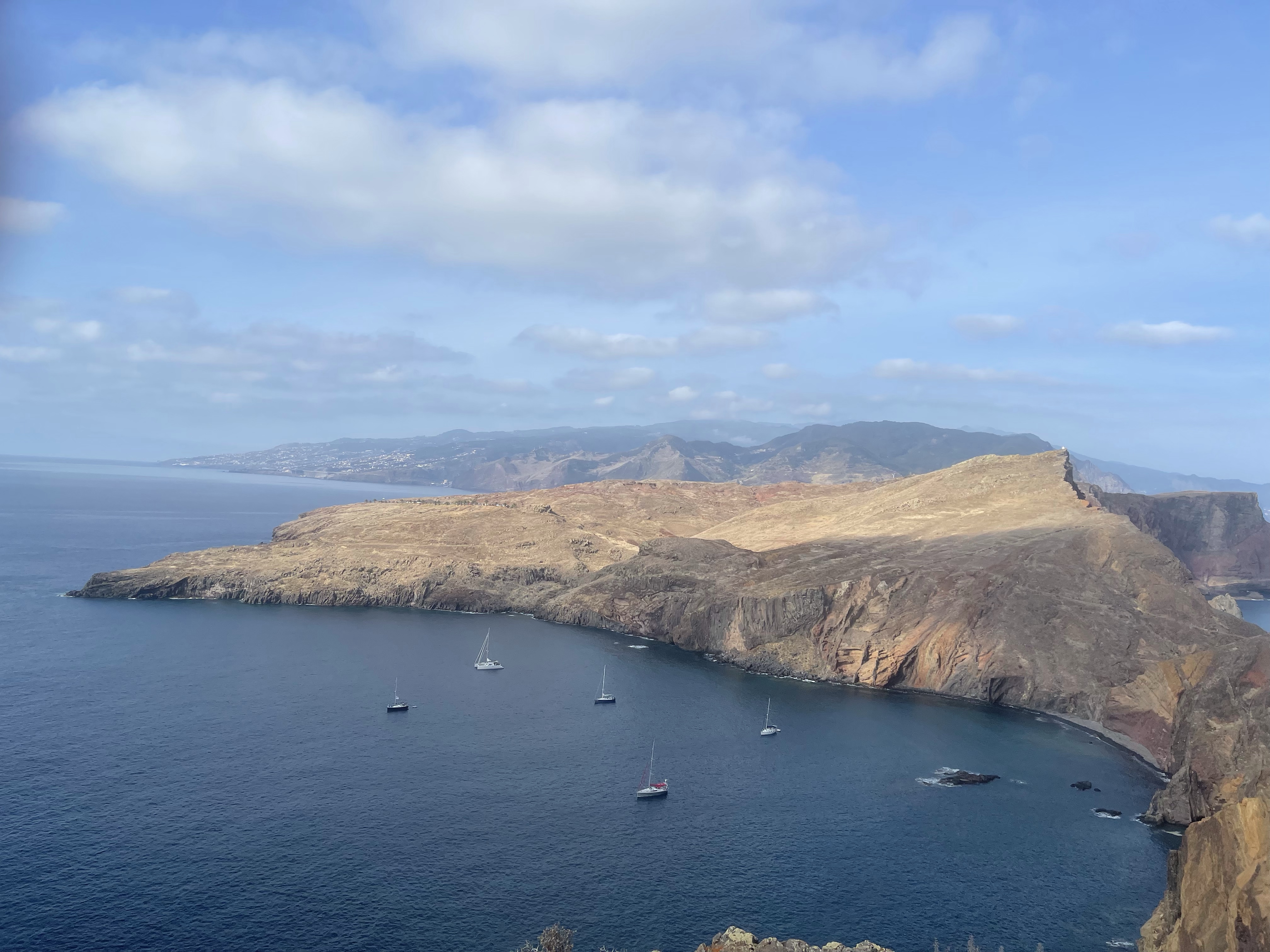
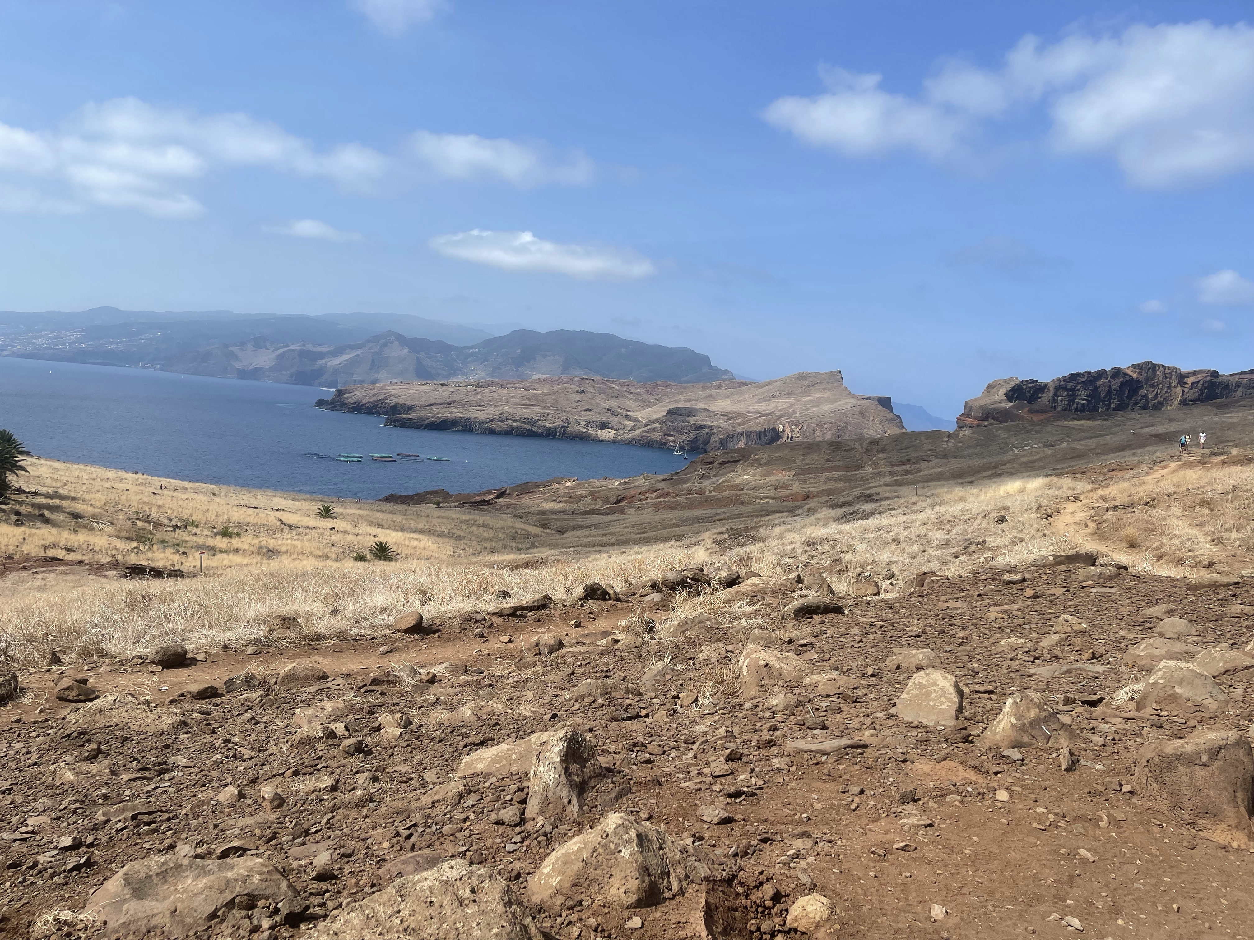
Today’s walk was in the Far East of Madeira on a thin peninsular that points out into the Atlantic Sea. Closer to Morocco than Portugal this area is not typical of the rest of Madeira and shows very clearly it’s volcanic origins.
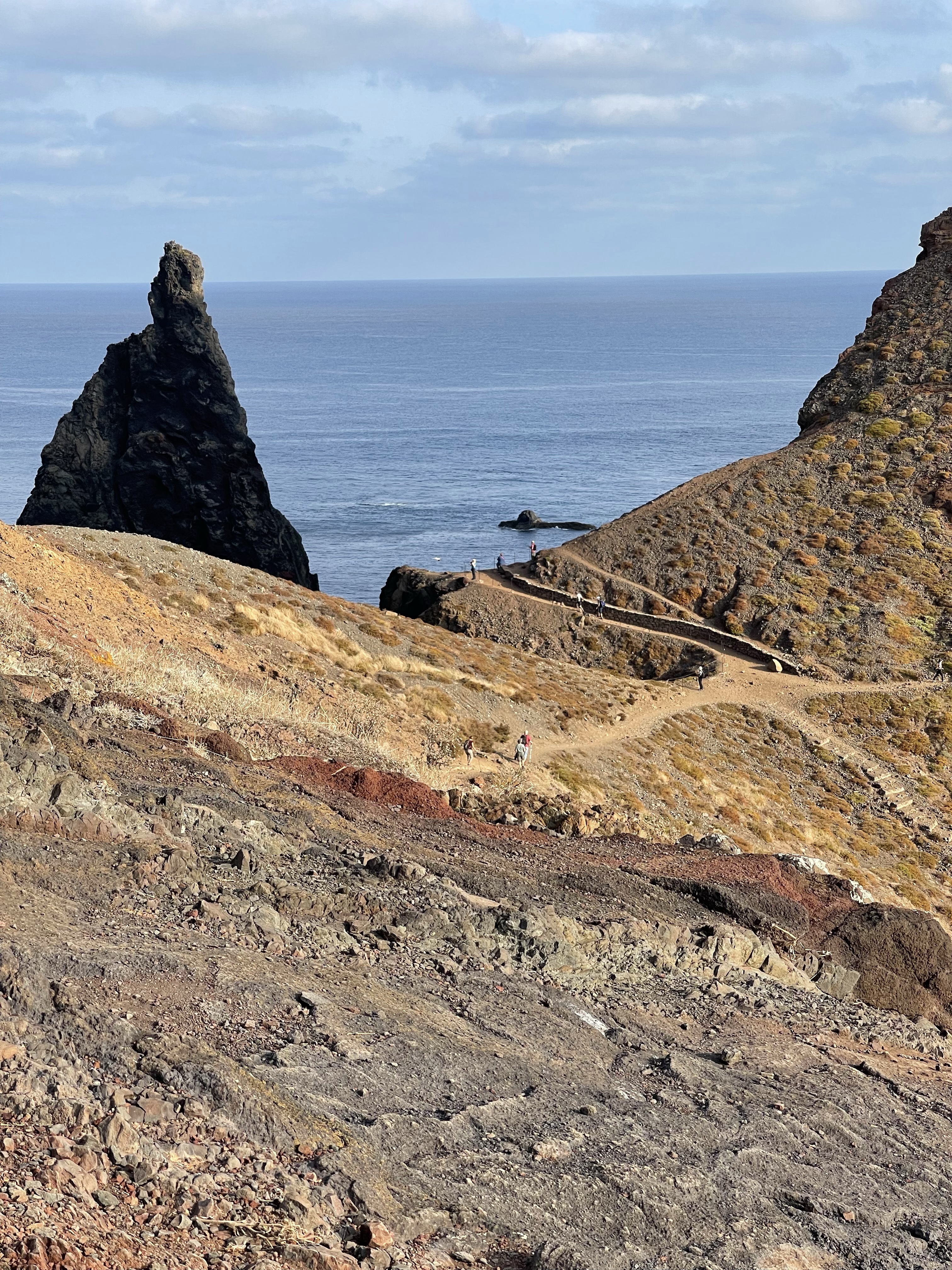
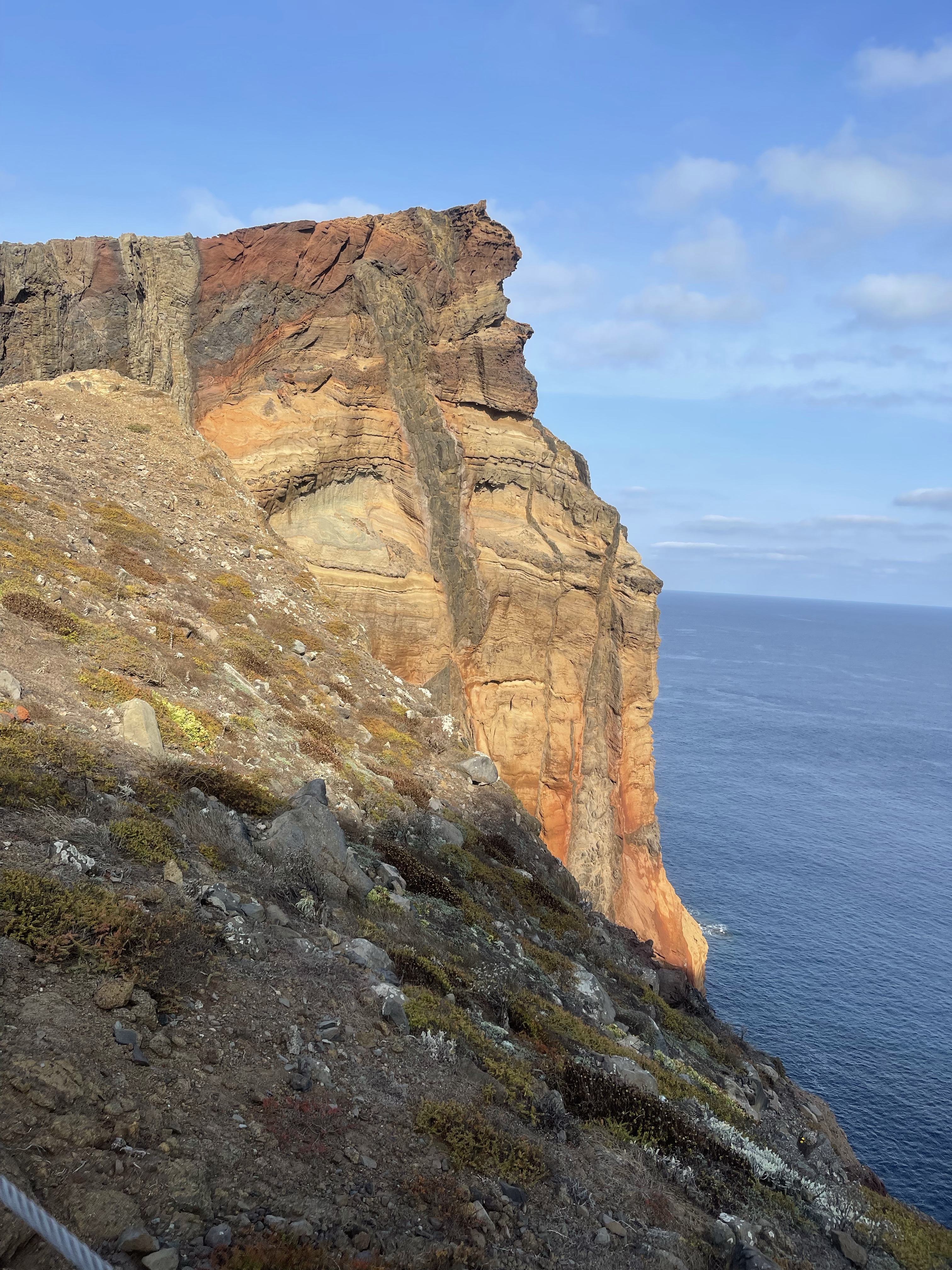
The area is arid and rocky and the path undulates along the top of this out stretch with times when the sea is evident on both sides. The rock strata is amazing and there are some interesting rock formations – perhaps a combination of volcanic eruption and the force of the sea.
The start of the walk is quite gentle using wooden walk ways to direct the path before it changes and steps up and down emerge.
The ground and remaining plant life becomes more dry and there is little colour differential.
Perhaps the most colour variation is provided between the strata of the cliff faces.
The walk undulates a great deal , twisting around large rock faces. Quite a popular route and we meet several families and groups of people on the way. some quite well equipped for the intense heat- others not!
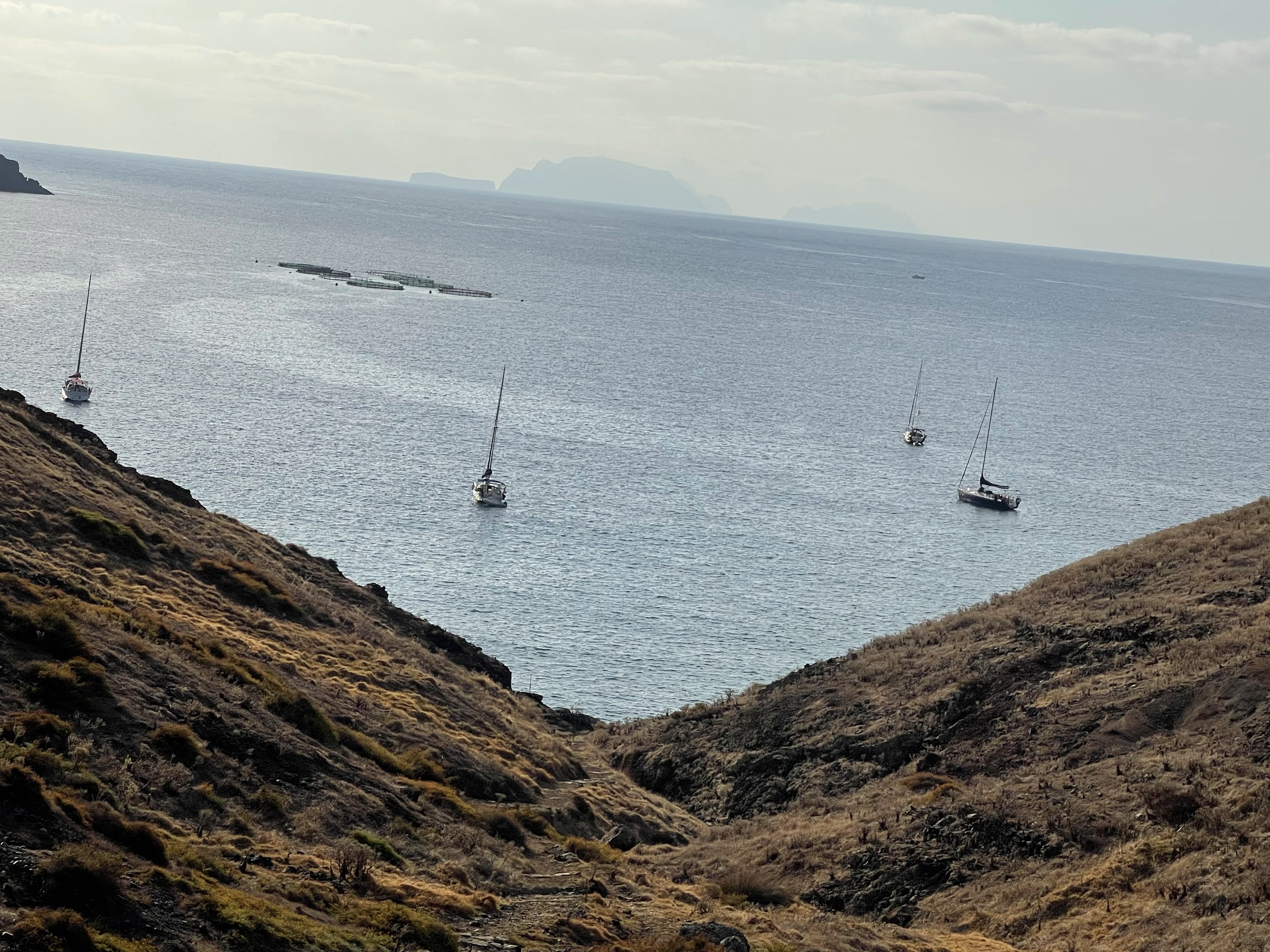
On our right as we venture further along the peninsular we can see evidence of fish farming – mostly Sea Bass / Bream.
Our first stopping point can be seen- a beach / really a cove! Quite rocky but some brave souls went in the sea. We all started eating lunch and realised it was only 11.15!
Twice a boat arrived from around the corner and dropped off passengers at the small jetty- our swimmers having to get out of the way. There was an obvious picnic place and later some canoeists entered the water.
The rock of the beach made an amazing sound as they were caught by the tide- almost a crackling.
One of our group went up the steep climb to the summit of the peek, along with many other visitors. The path is currently forbidden for use – not something adhered to!
We continued further along and came to an established tea/ coffee and snack bar which was well populated on this very warm Sunday.
A further circle and then on towards our route back. Did the innumerable steps up and down seem easier this way?
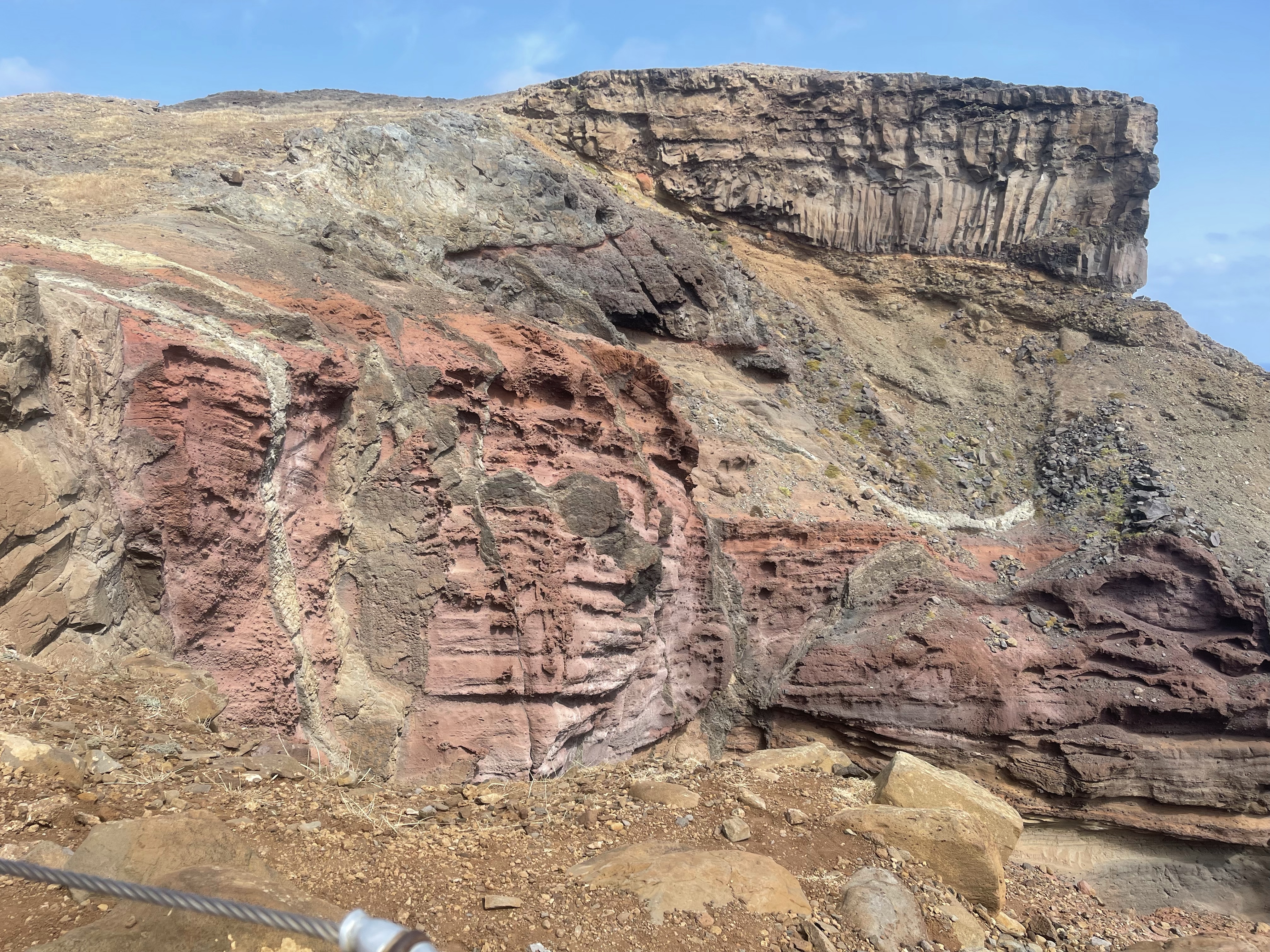
First some basalt pillars in the cliff face. Another amazing geological sight.
A rather hot but very enjoyable first walk with group. I’m afraid that even with new hips I was at the back much of the time!
So this first walk was 8.5 km – it seemed longer and was certainly not easy. This was partly due to the intense heat and continuous change of up and down.
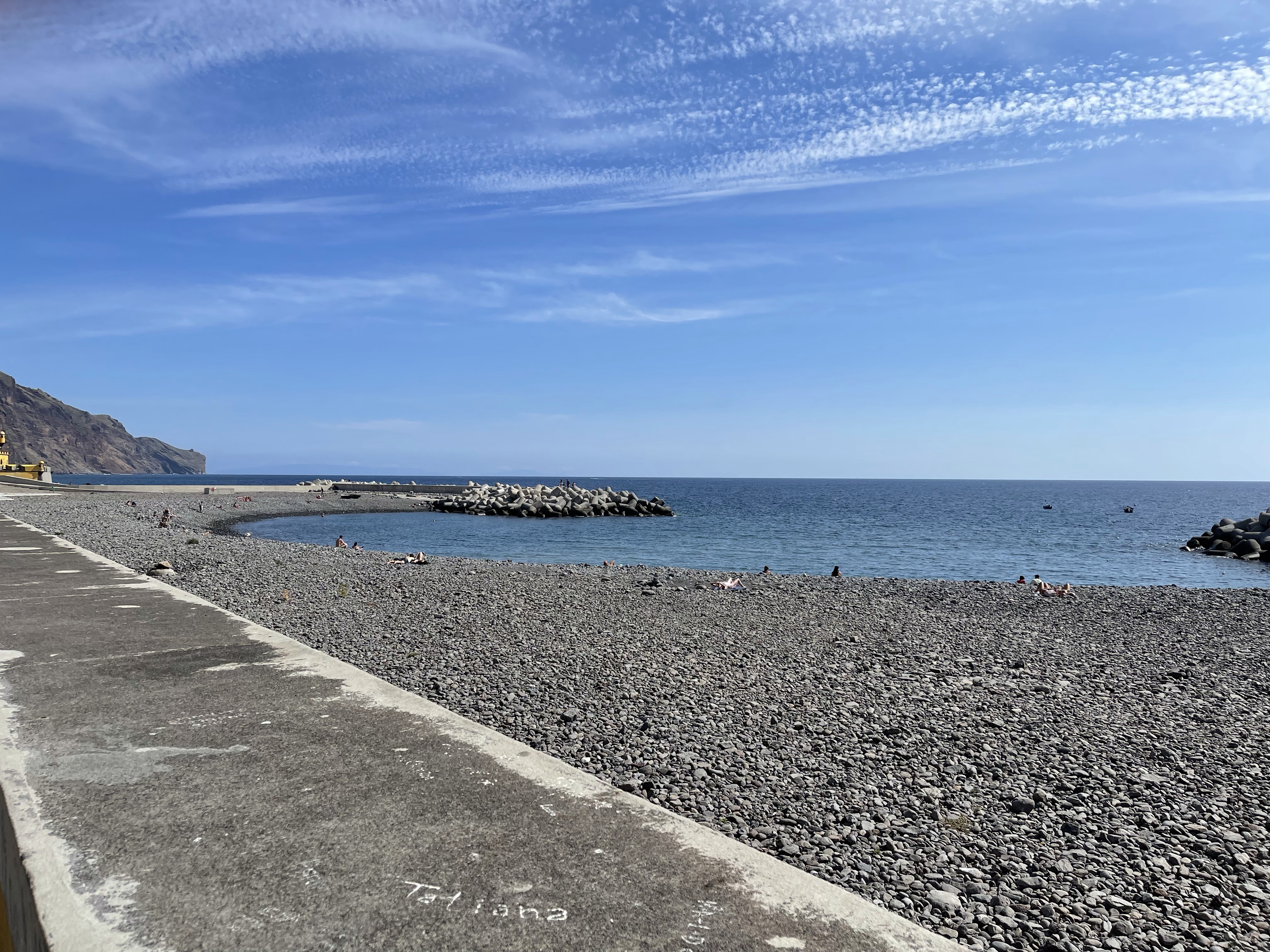
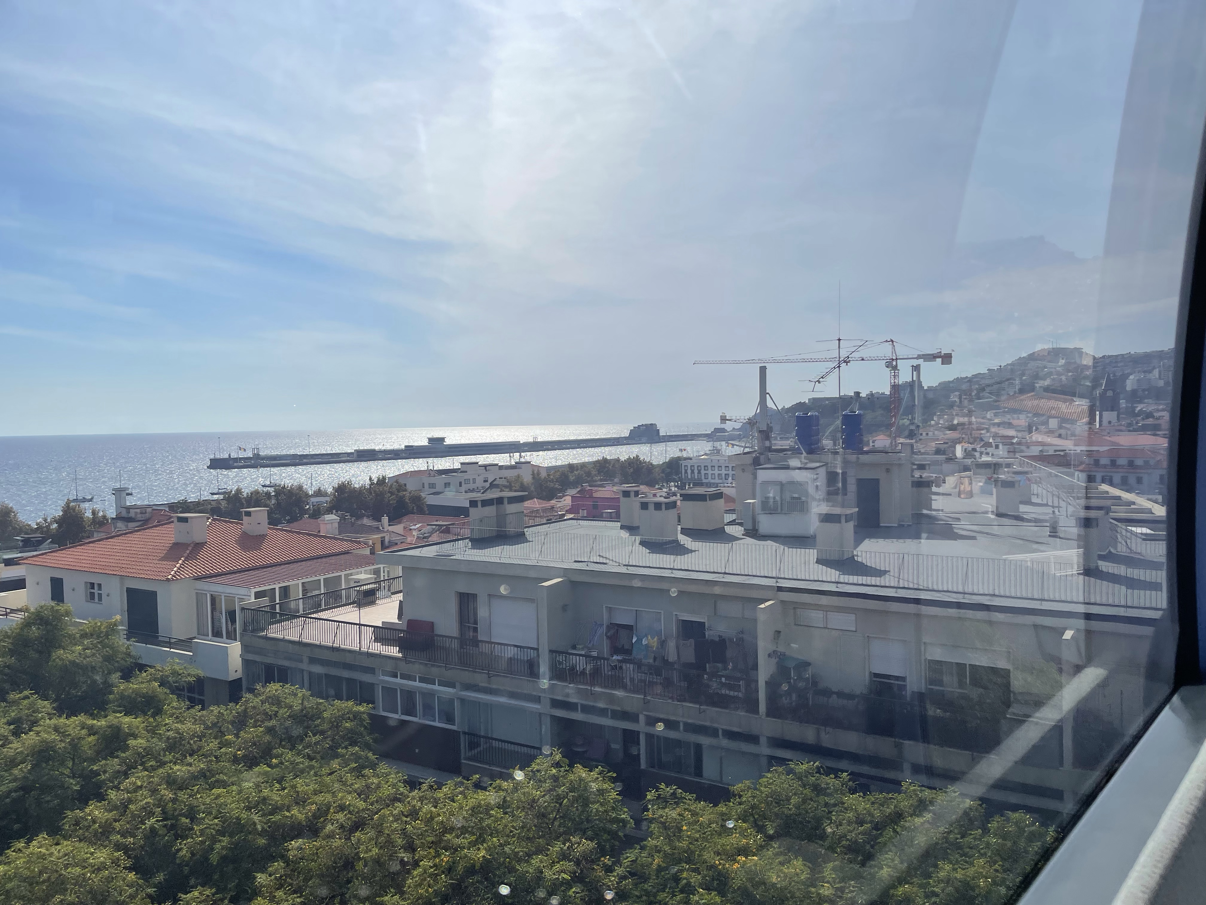
So having landed in Madeira at about 13.00 there was plenty of time to explore the town and sea front before meeting the group at 19.30. Always difficult to know where to go to on the first day somewhere new – so rather a wander than a walk.
The beach had very large pebbles and there were areas of promenade along the edge. Looking back the city of Funchal stretches upwards for a long way.
A flower festival was advertised but not quite sure what this entailed but there was a small arena area and girls dressed in glamorous dresses and flowers in their hair.
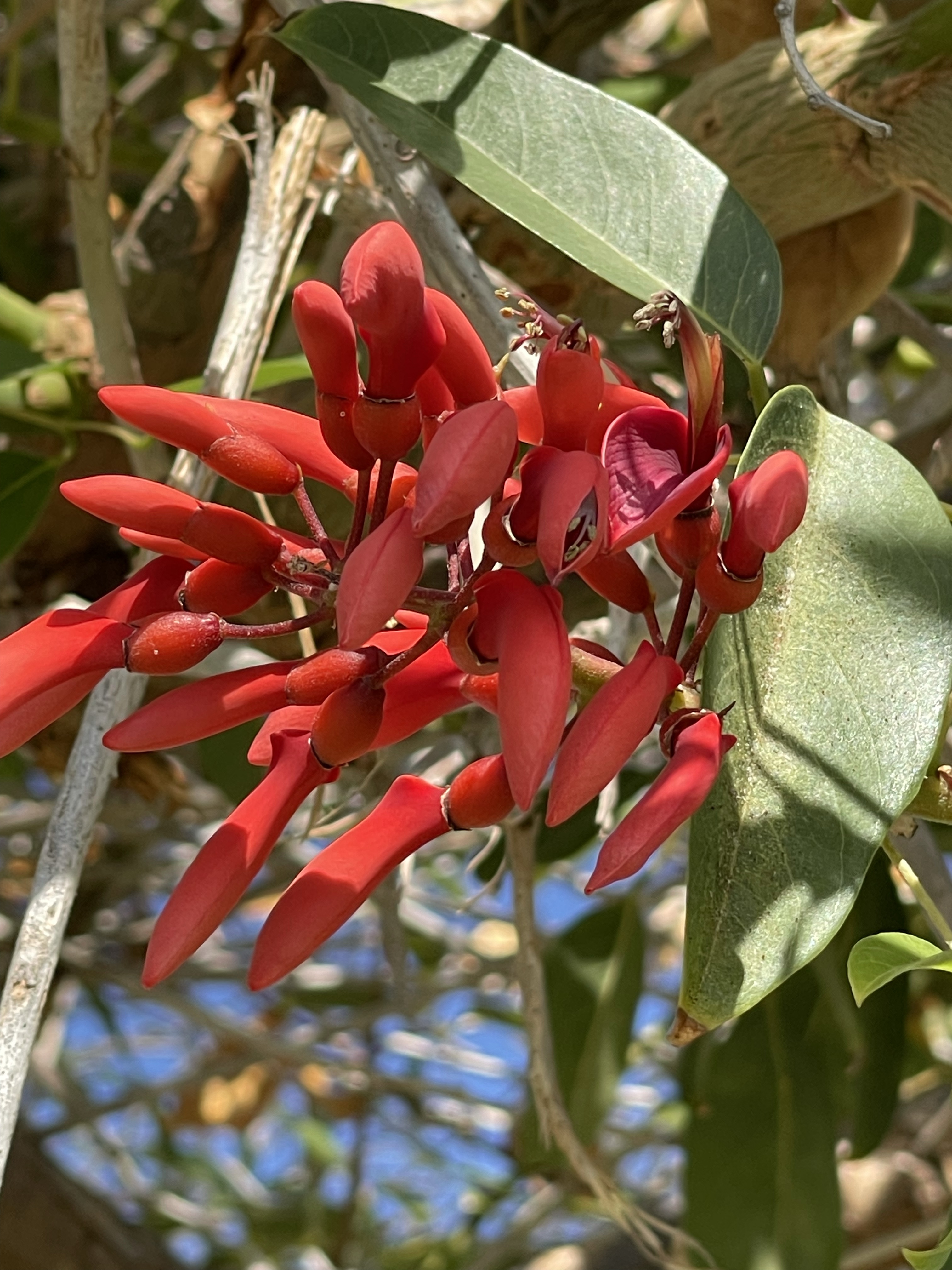
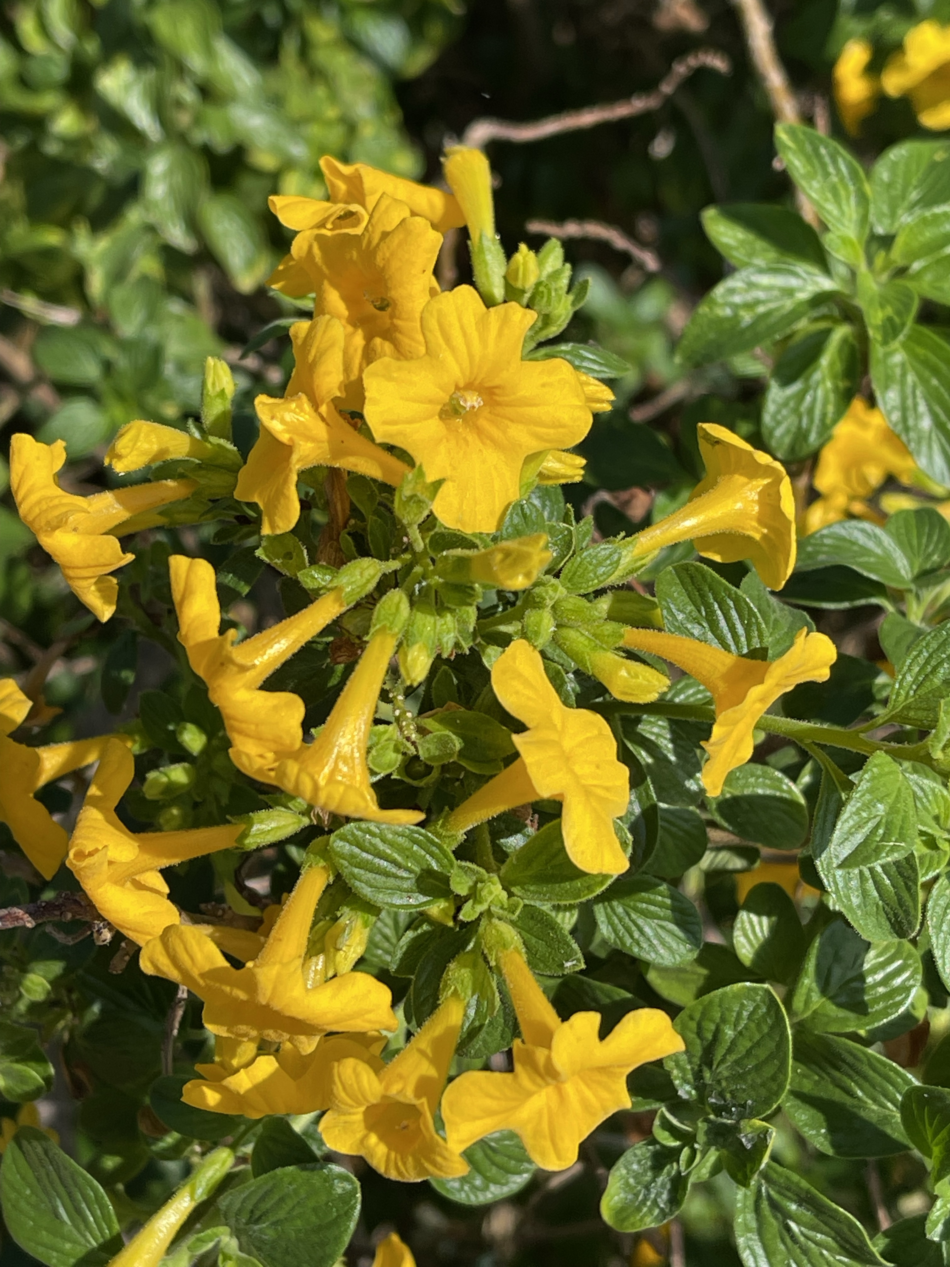
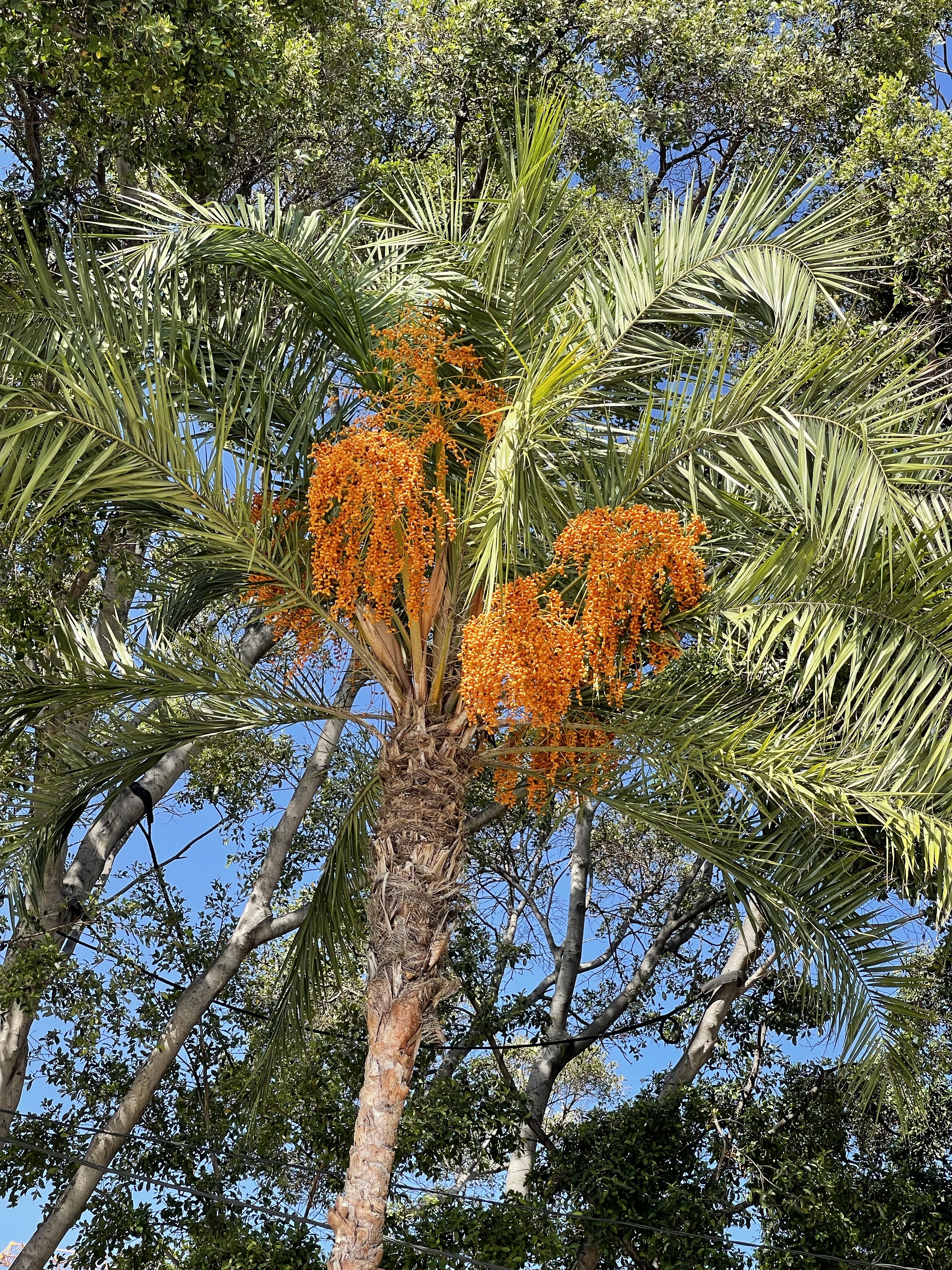
A lot of interesting plants along this area and an obligatory ice cream!
I decided to turn away from the sea as I spotted some older and more interesting buildings.
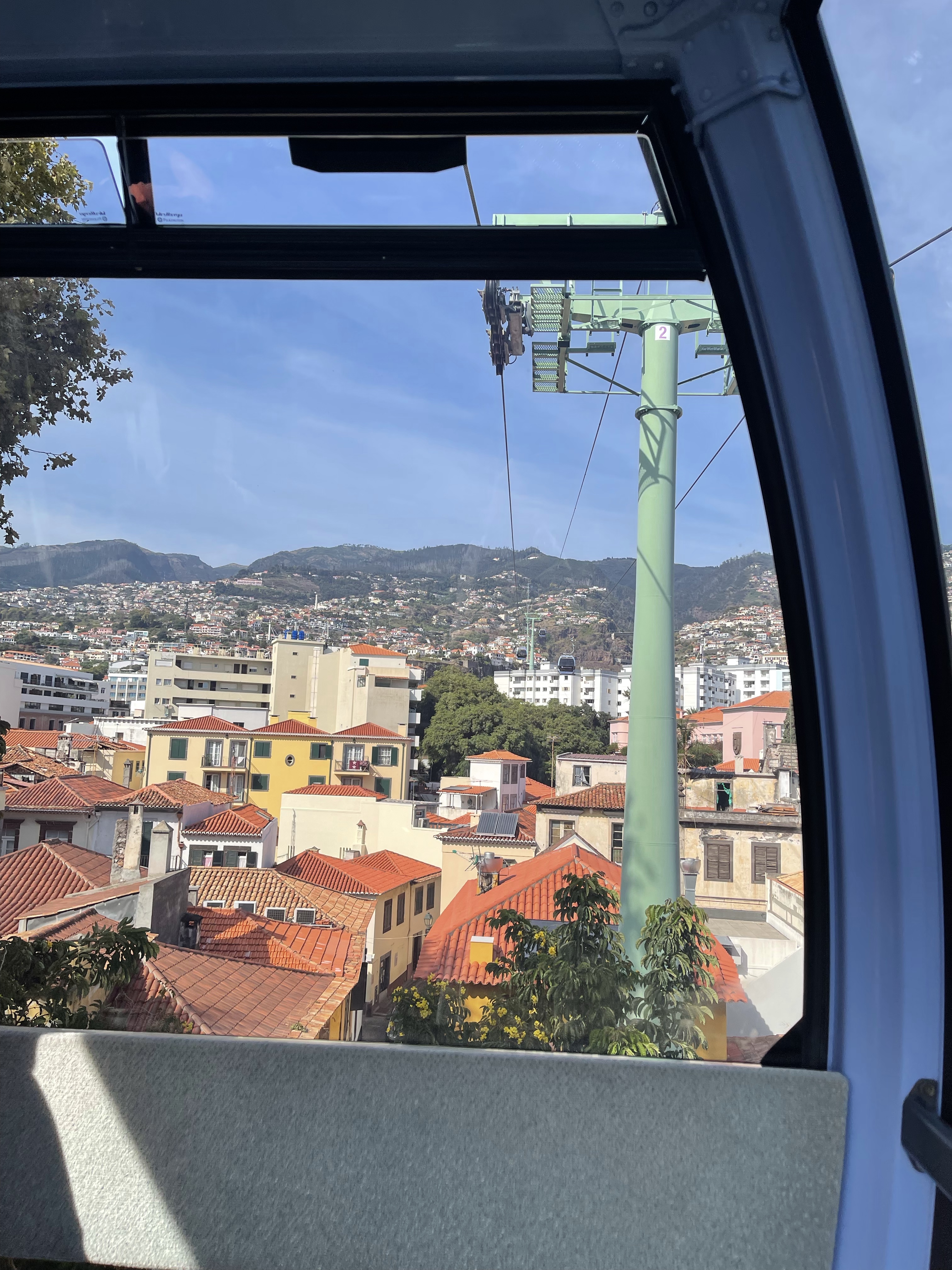
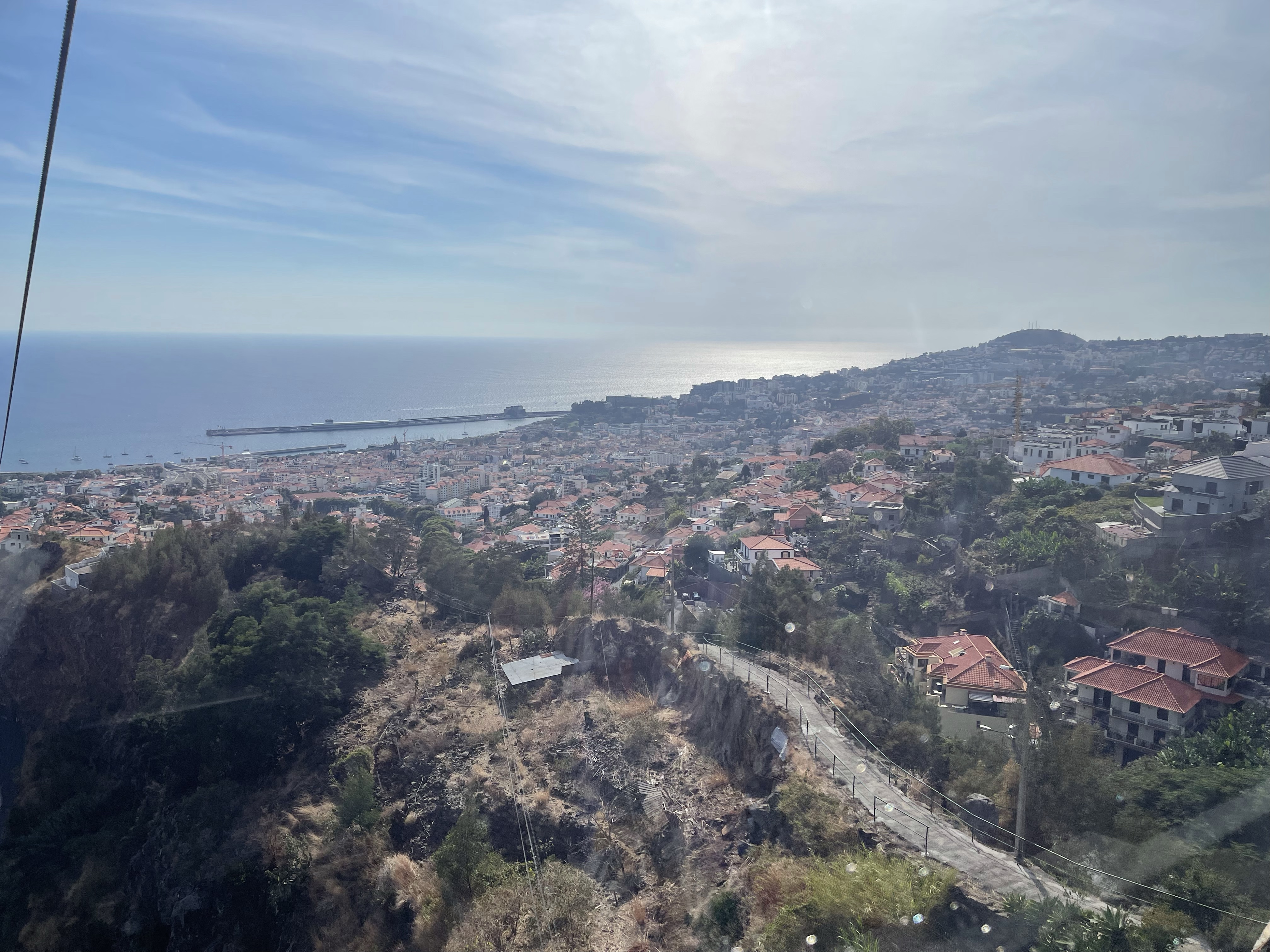
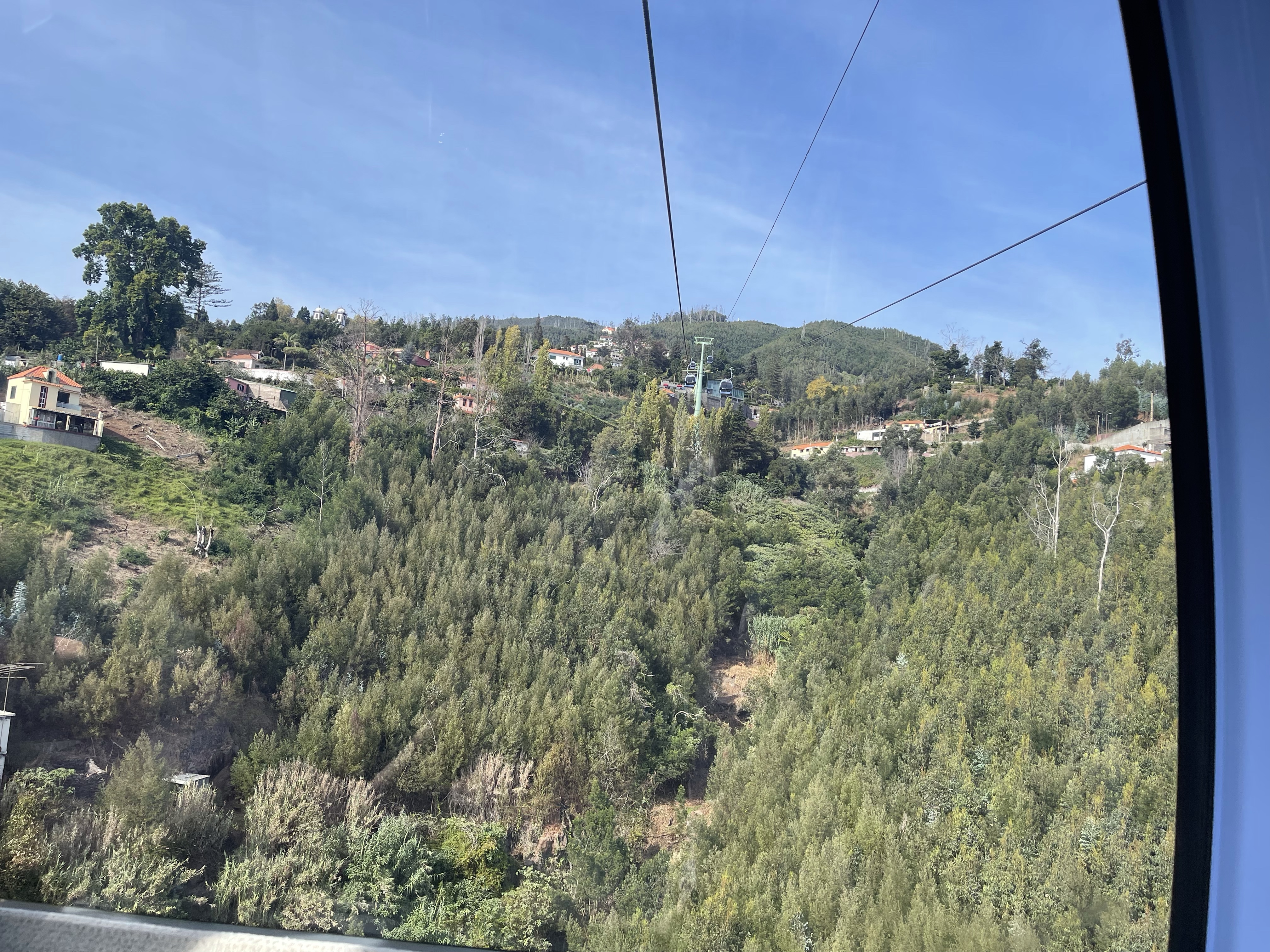
Having already seen the cable car station I decided that that was what I was going to do next, so set off back by a different route. Having joined the queue it was soon my turn, I joined with a couple of young visitors who were staying in the city.
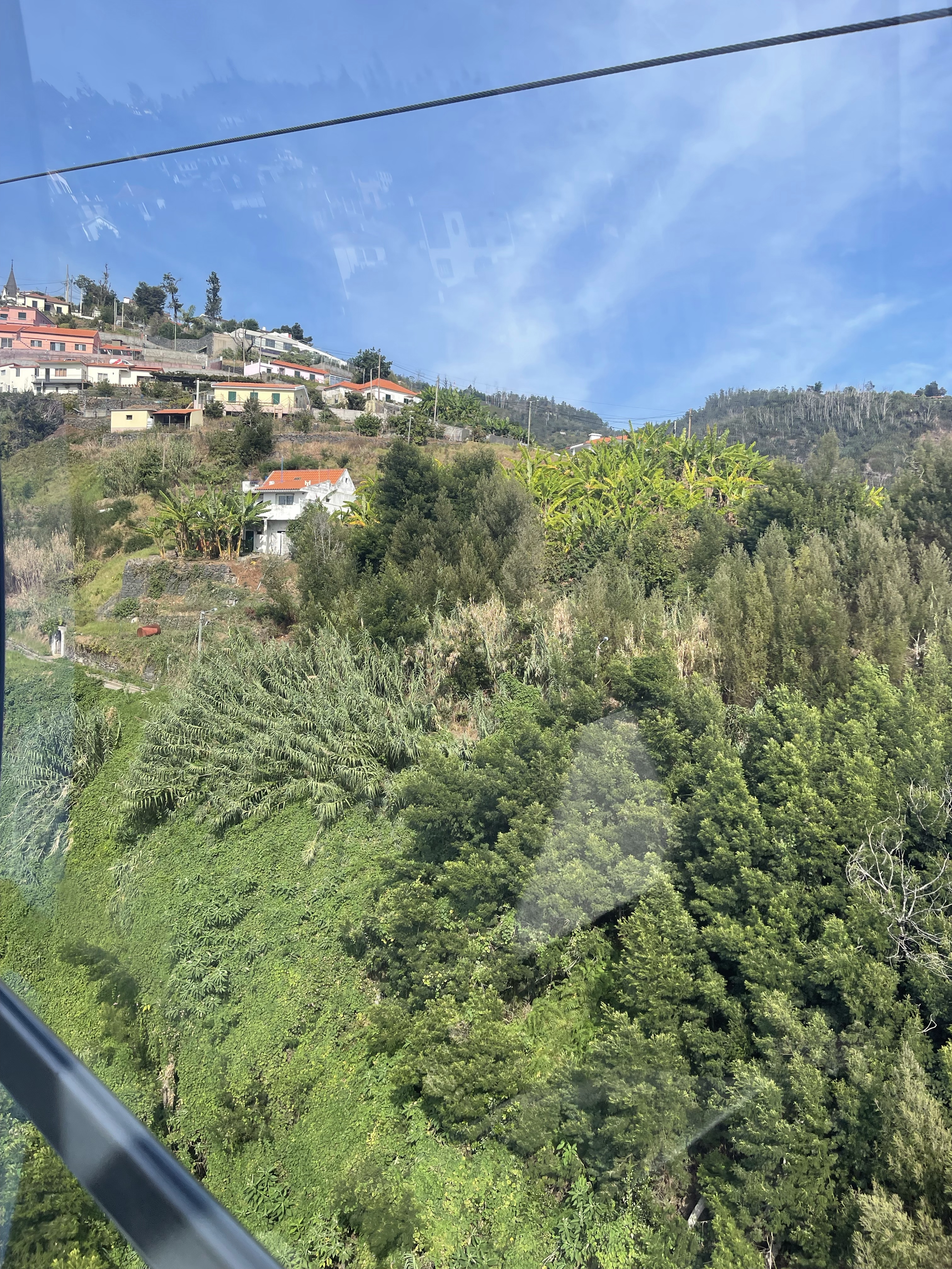
This has got to be one of the longest cable car rides I have ever been on – very smooth. I’m struck by the fact that Funchal doesn’t seem to have many old buildings, as my lift continues up hill.
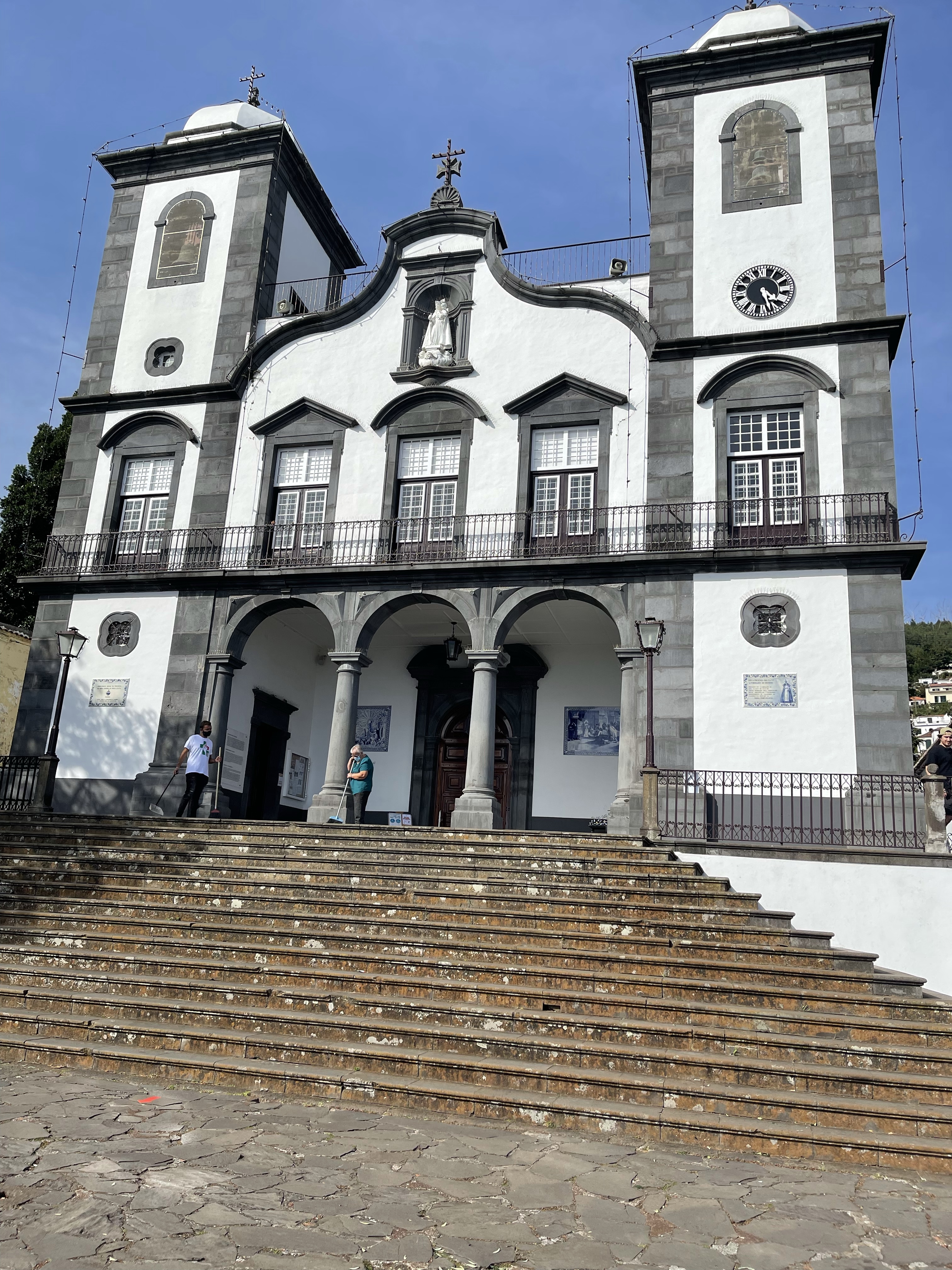
The cable car at last arrives at Monte, where there is a tropical garden. On enquiring this will take me 2 /2.5 hours and there clearly isn’t enough time to experience this and catch the last cable car back. ( Two if the group got locked in , had to climb over a wall and make the lengthy and very steep walk back! )
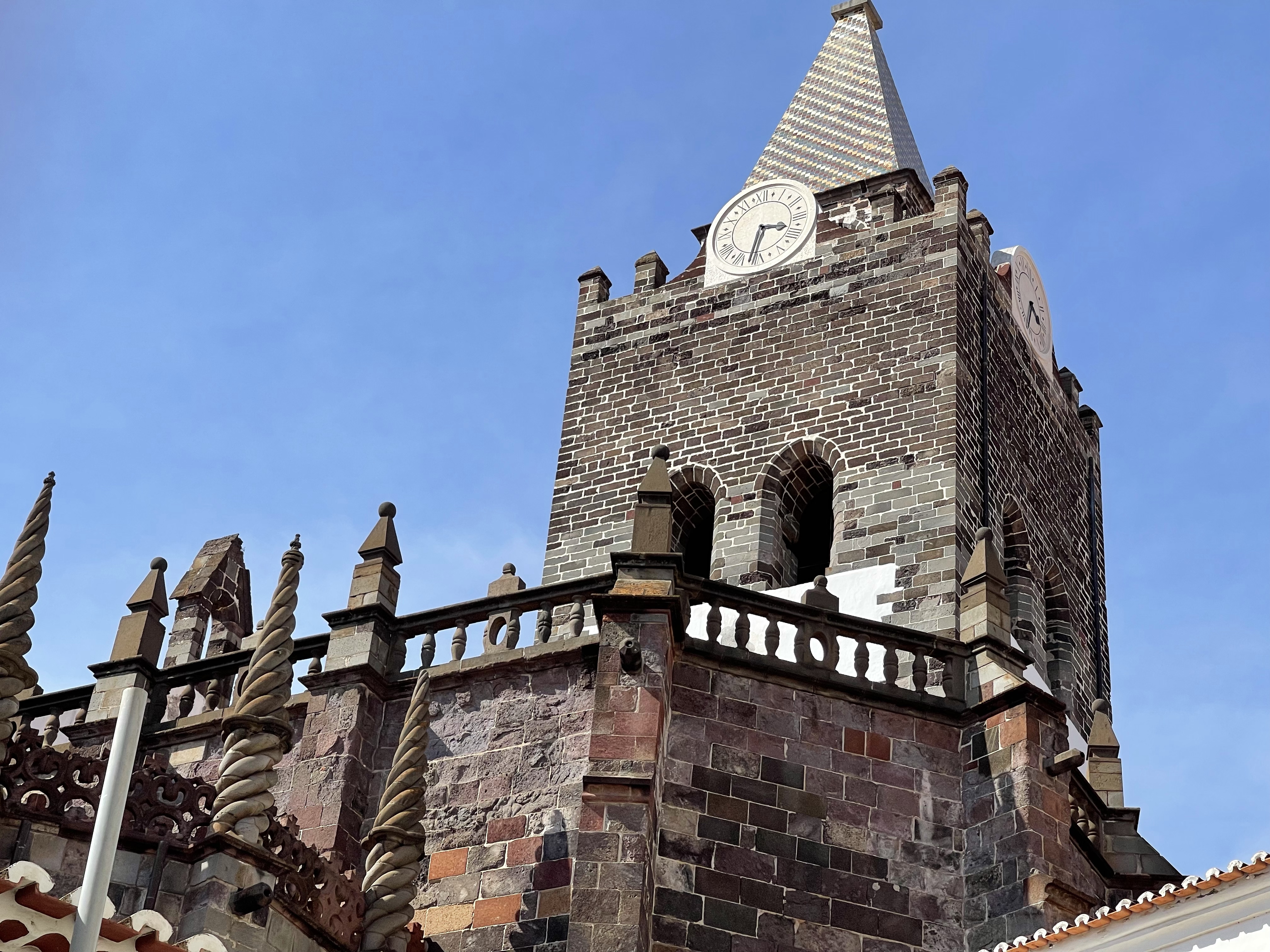
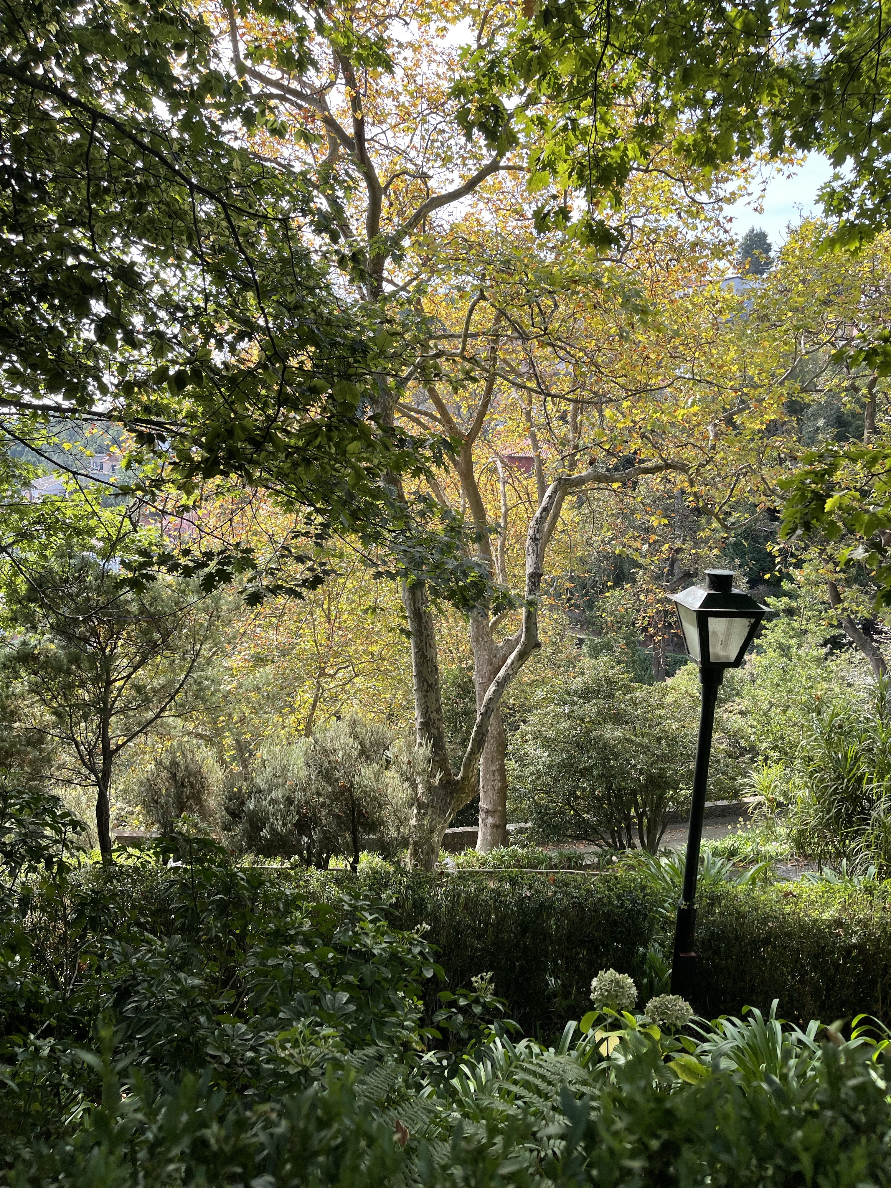
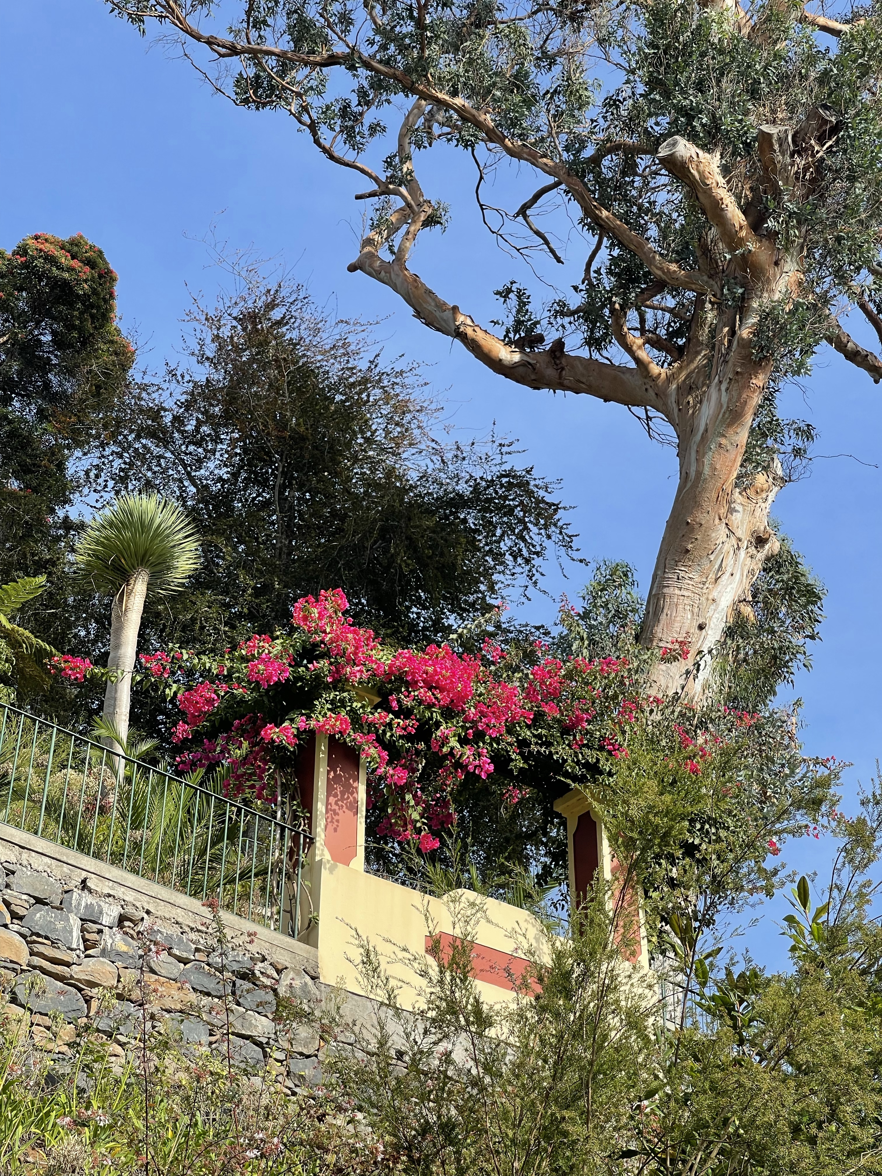
So I visited the area around the church, a wedding had just happened, and the nearby garden.
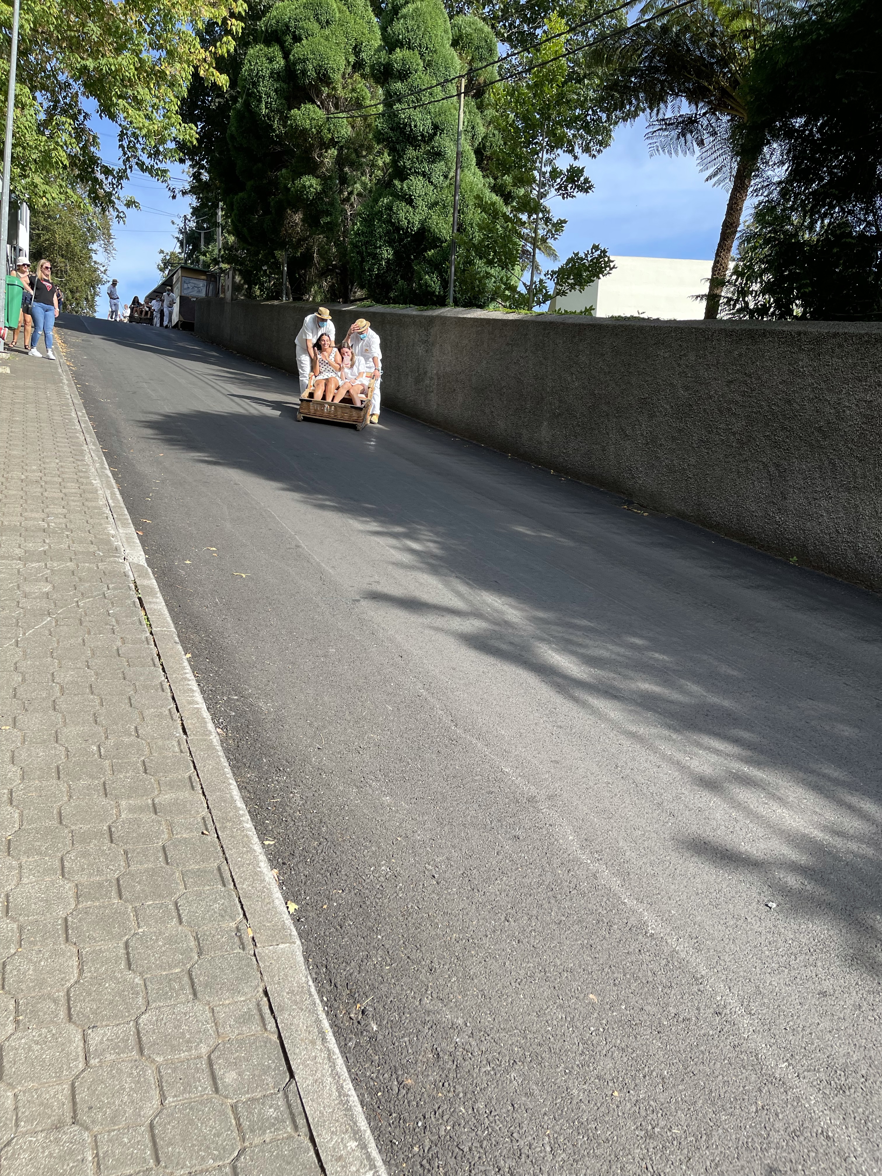
I was also able to witness the willow sledges which had now become a tourist attraction but previously were used by the rich to transport them up and down hills and poorer people to move produce.
Back down t be cable car and navigated my way back to the hotel. The walk was about 7.5 km but the map is quite amusing because of the automatic inclusion of the cable cars!
I wanted to walk without a drive today and also needed to post some letters so decided to start by walking into town and then on towards Letcombe Regis – a path taken before.
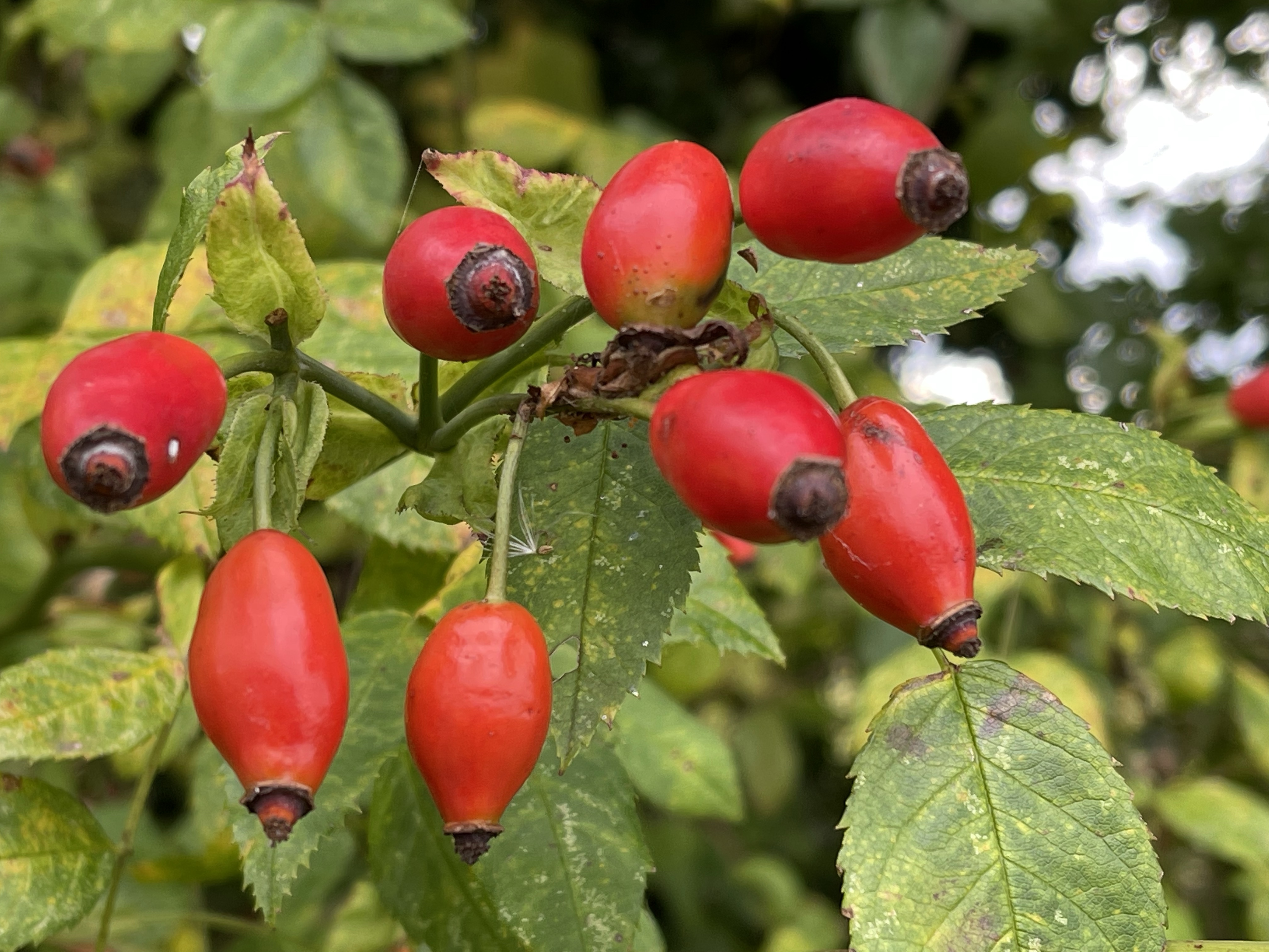
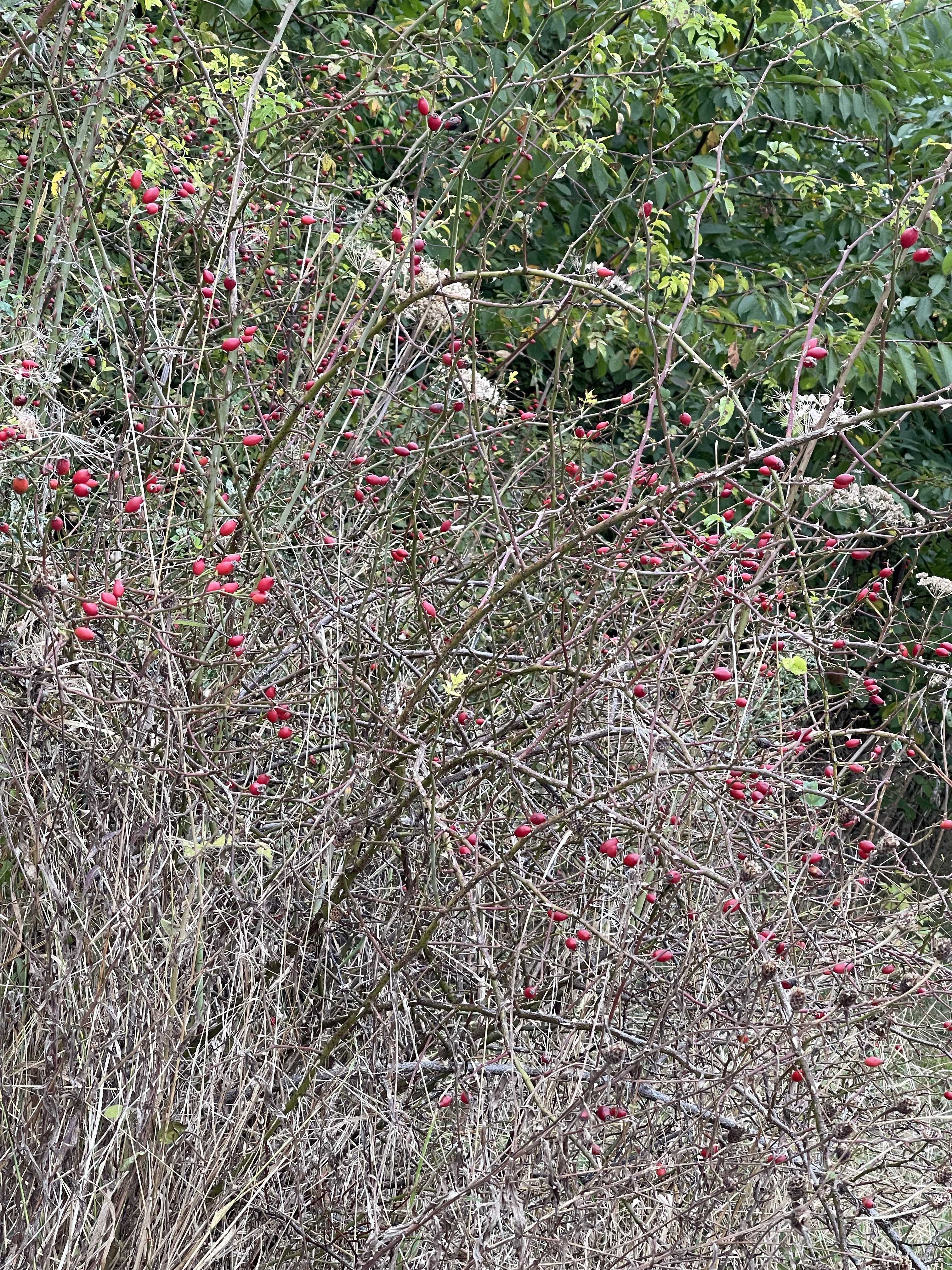
Not the most exciting route out of the village but out of necessity to prepare for some future walks, the route went up hill, along Court Hill Road. To my right the top of the hill came into view. There is some abundant colour in the hedgerow.
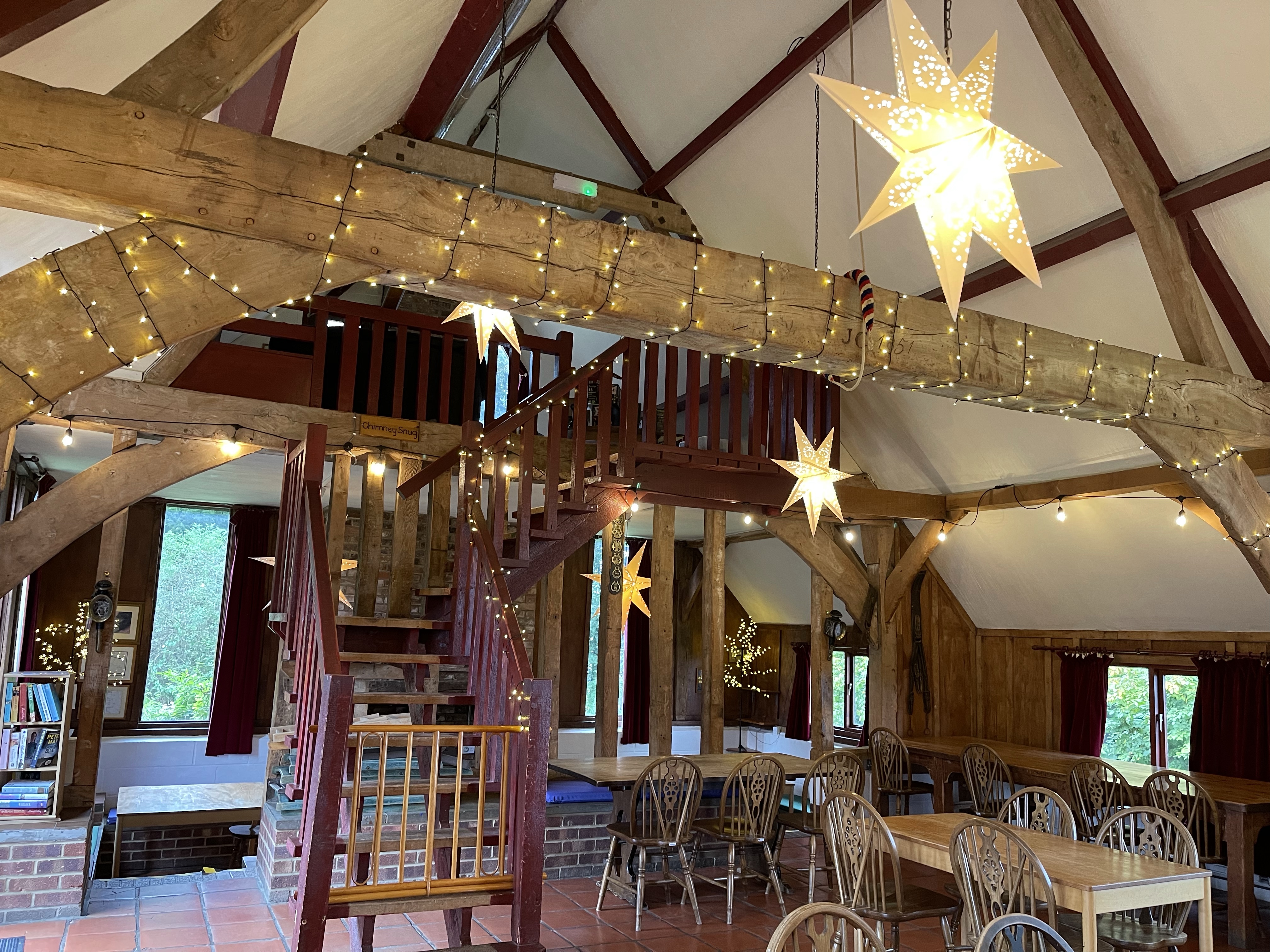
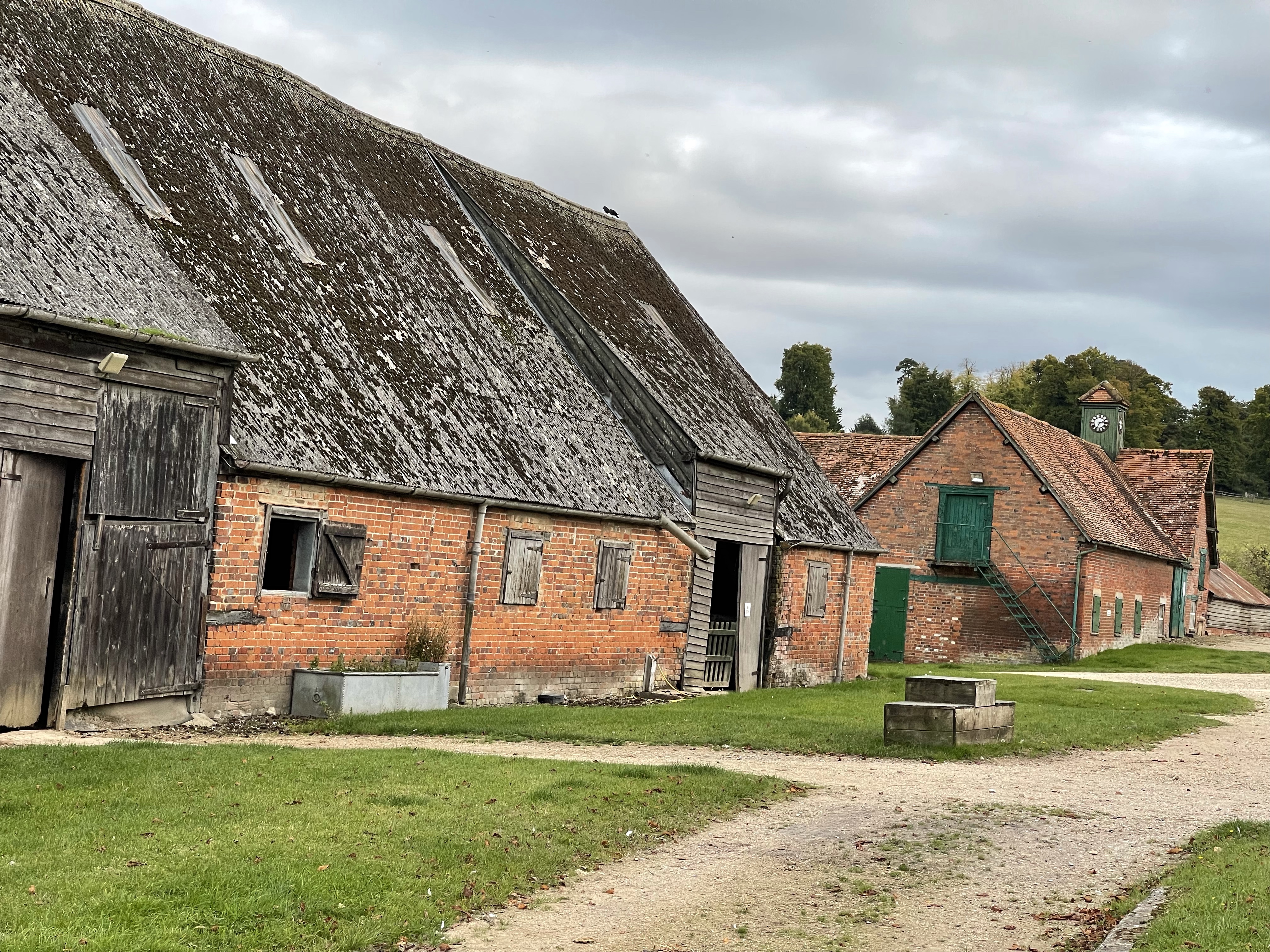
My first major goal is Court Hill Youth Hostel. A very special place built from repurposed barns on the site of a rubbish tip. This is now a privately run hostel but much on the lines of the YHA.
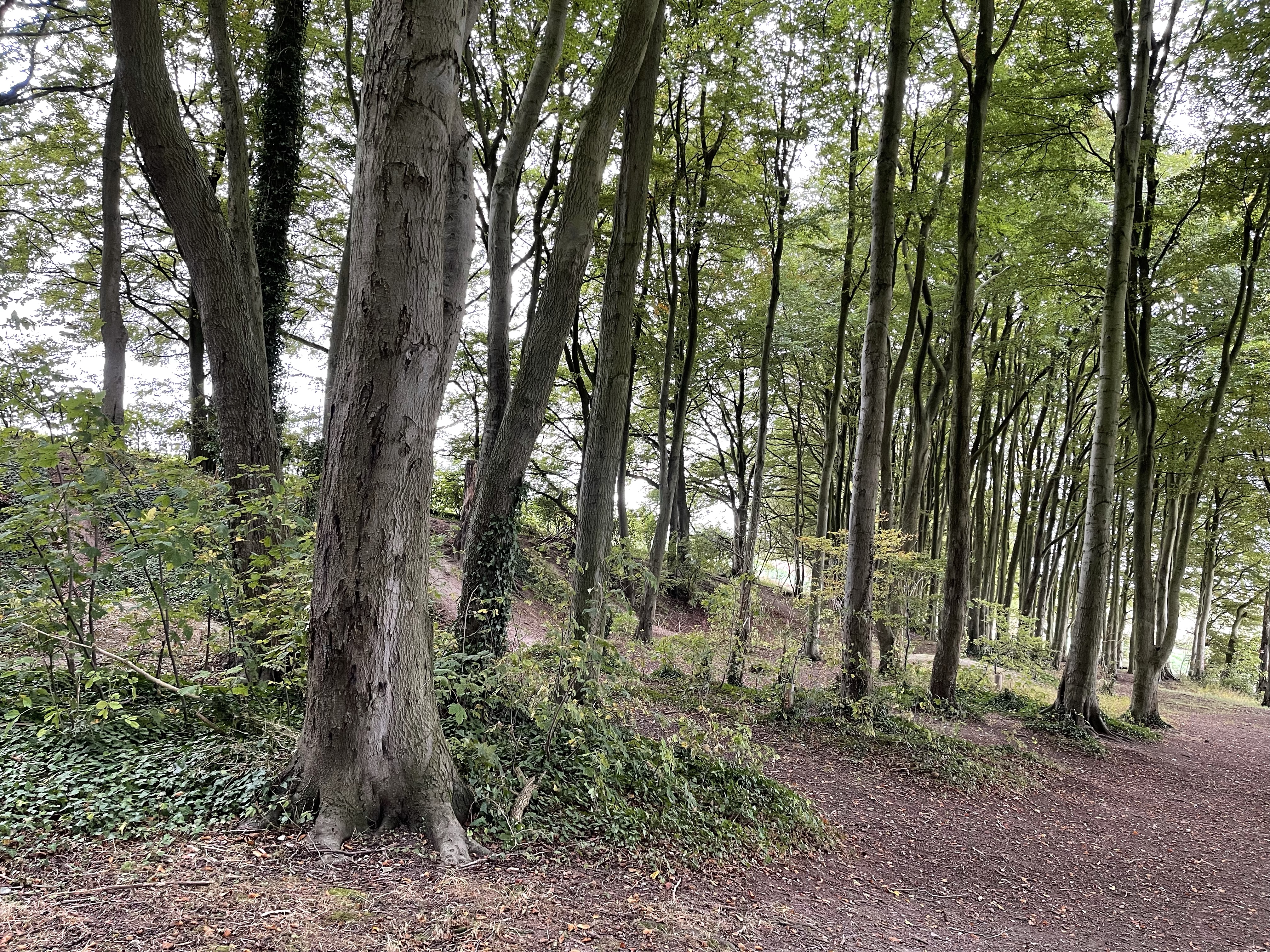
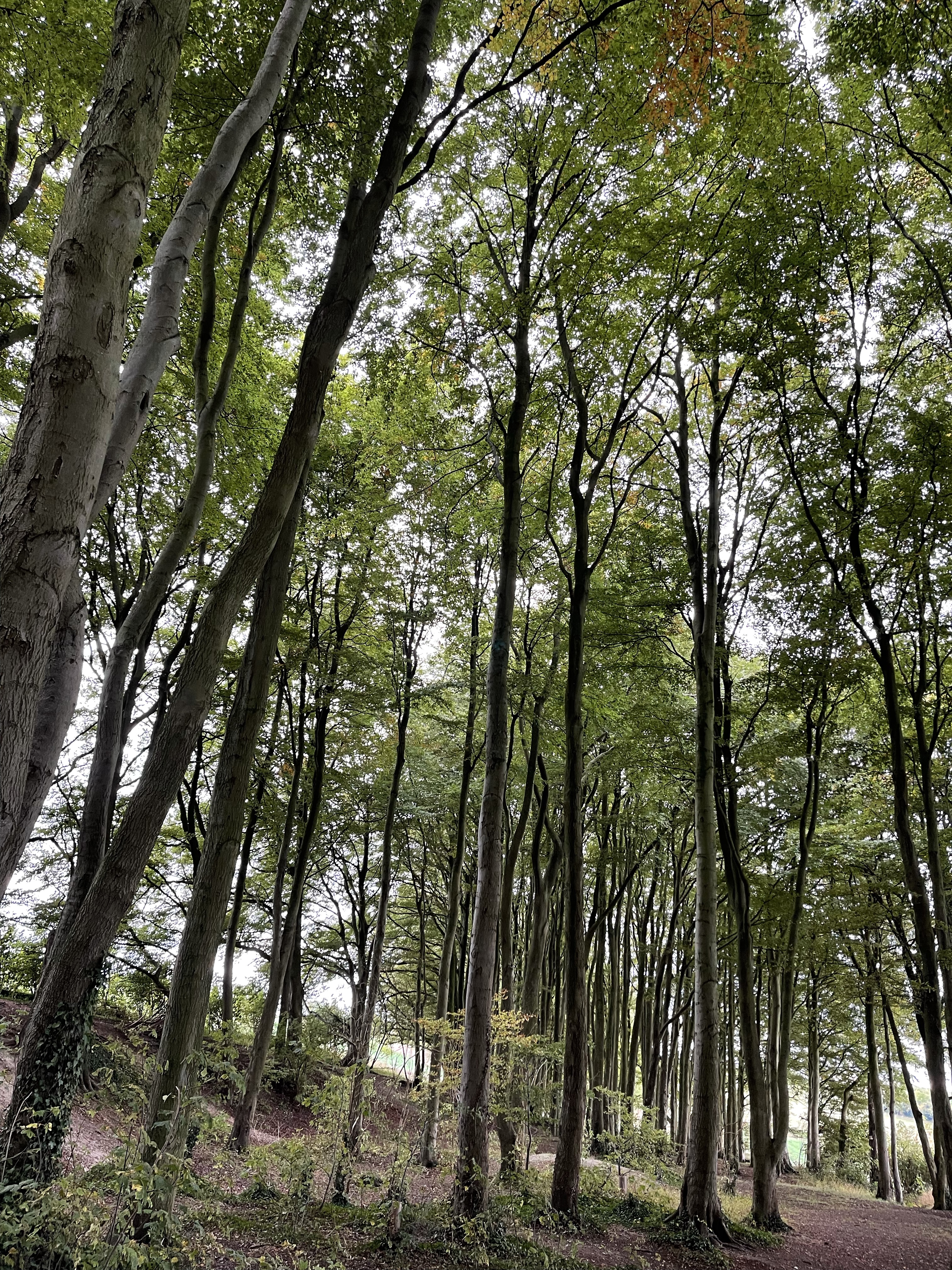
Highlight and reflection – this is a place I have used many times for residential visits, usually for seven/ eight year olds. It offers accommodation just for the group, sleeping in loft areas with little nooks for each bed. The outside has a great play space, including a wonderful wood which has been used for orienteering, out of place trails, shelter building, hide and seek and general fun.
This was also a venue used for initiating children in to their first experience of watercolour paintings in situ.
One of the last groups was an international one with children from Spain, Germany and Holland. Activities involved book making and watercolour painting.
Somewhere I always feel comfortable and never tire of.
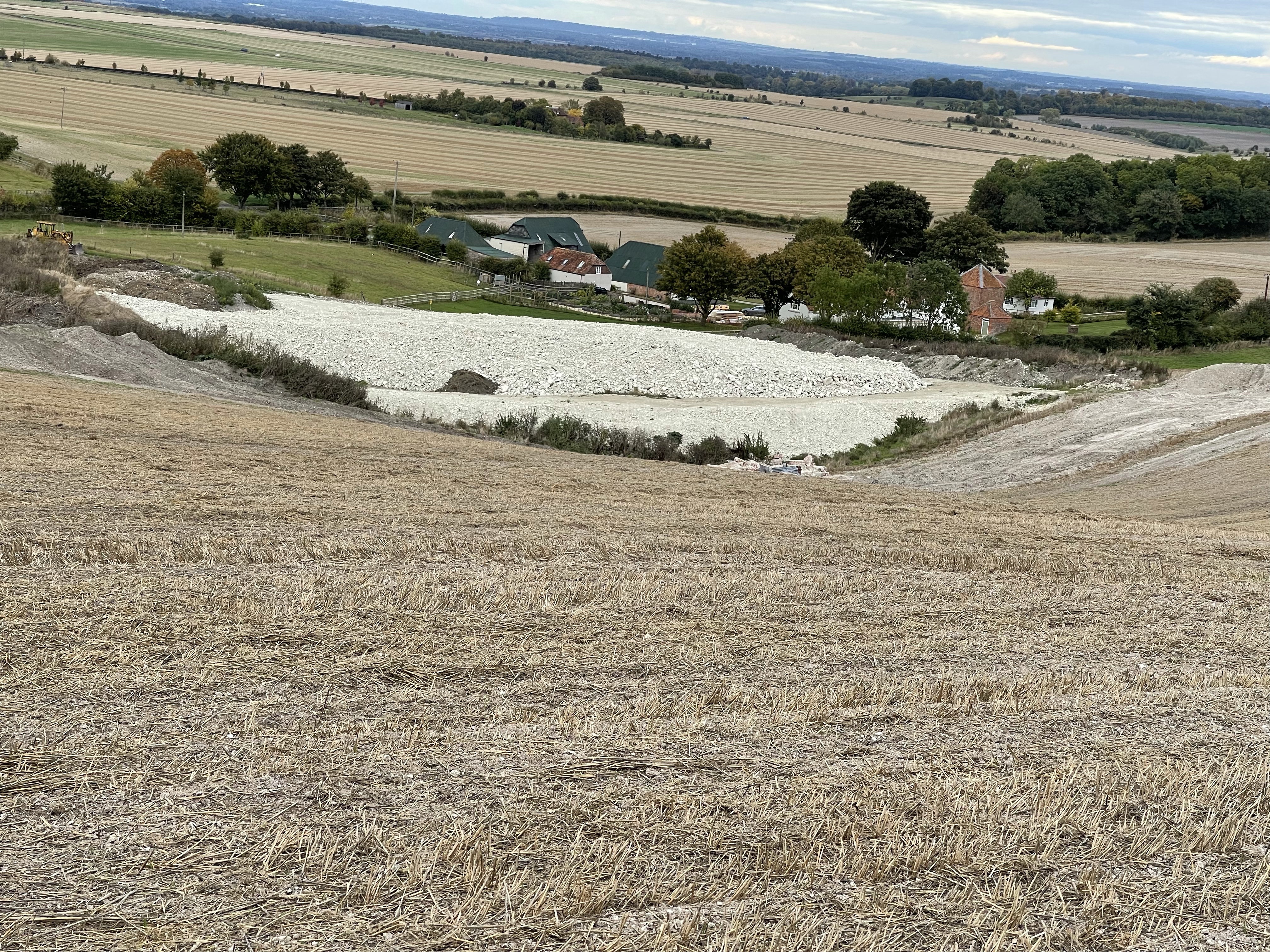
A much painted view.
Inside and outside!
A secure beech wood.
I also have fond memories of a birthday camp out in teepees for one of Alex’s birthdays.
My route crossed over the A318 out of Wantage and onto a path which links with the Ridgeway Long Distance Path.
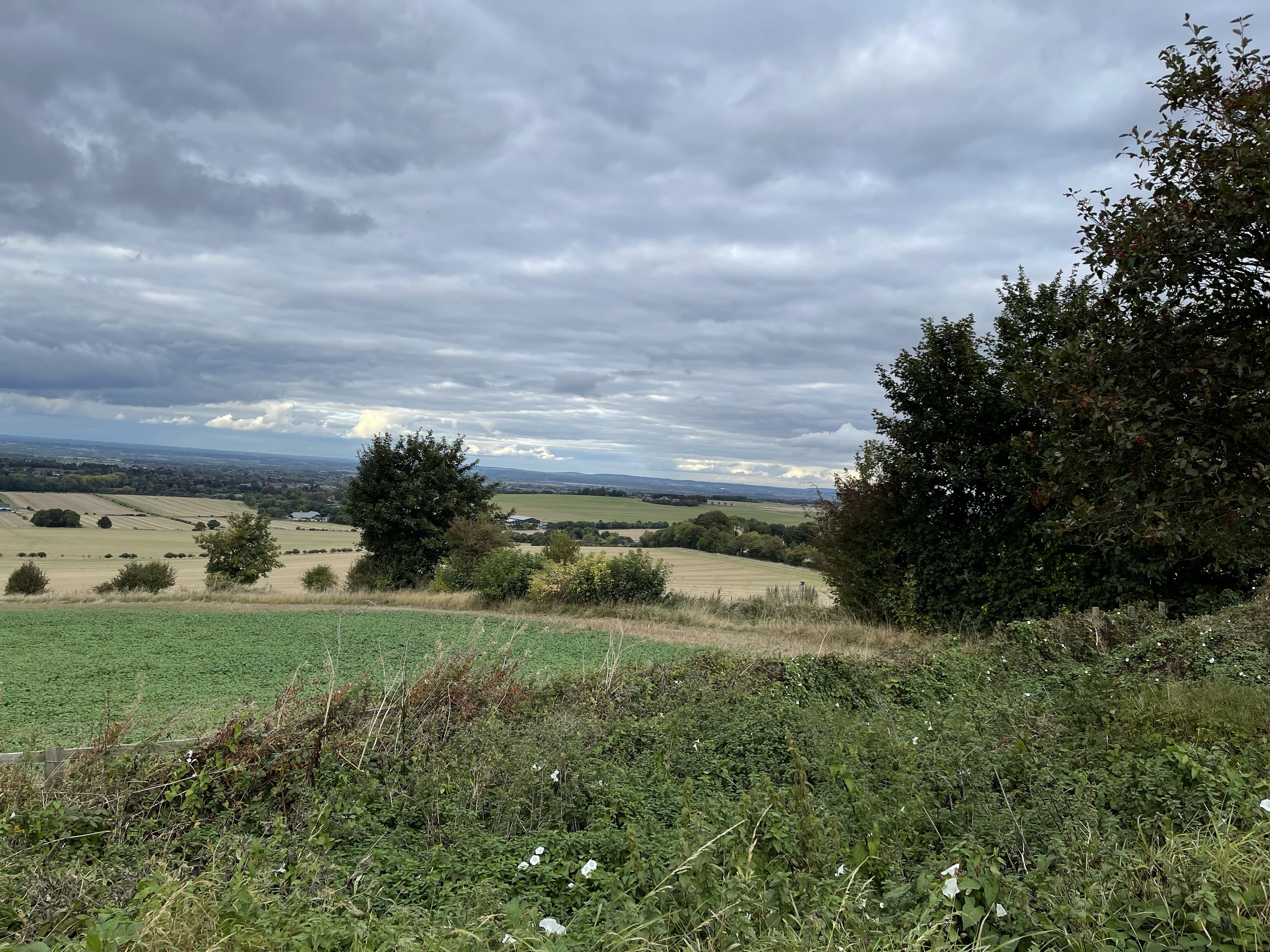
After about half a kilometre there is a path off to the left which runs down hill and on to a track which runs more or less parallel with the Ridgeway. On the approach there are some earth works which show just how chalky it is.
The track comes out on the road to Newbury, B4494, at the junction with hill from my house. I decide that I want to carry on walking a little longer so crossed the road and went straight across before turning left after another half a kilometre.
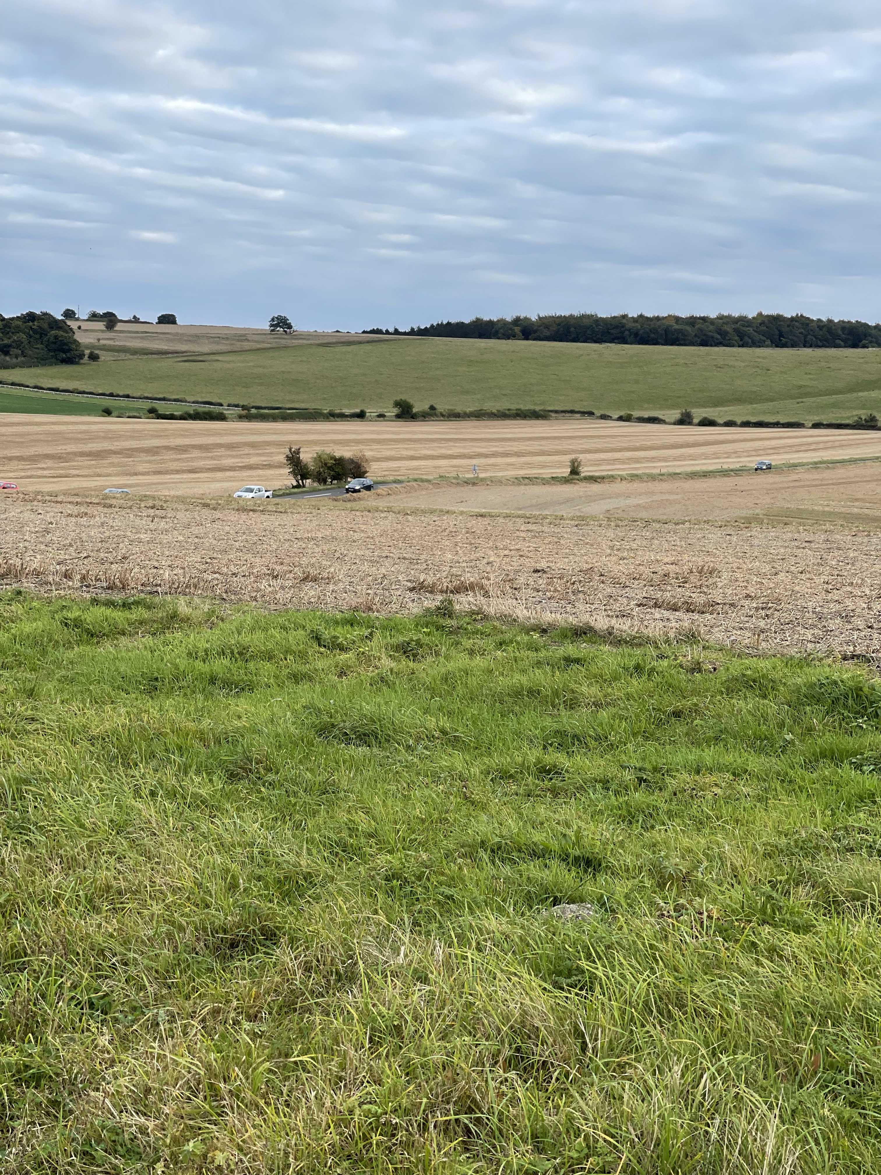
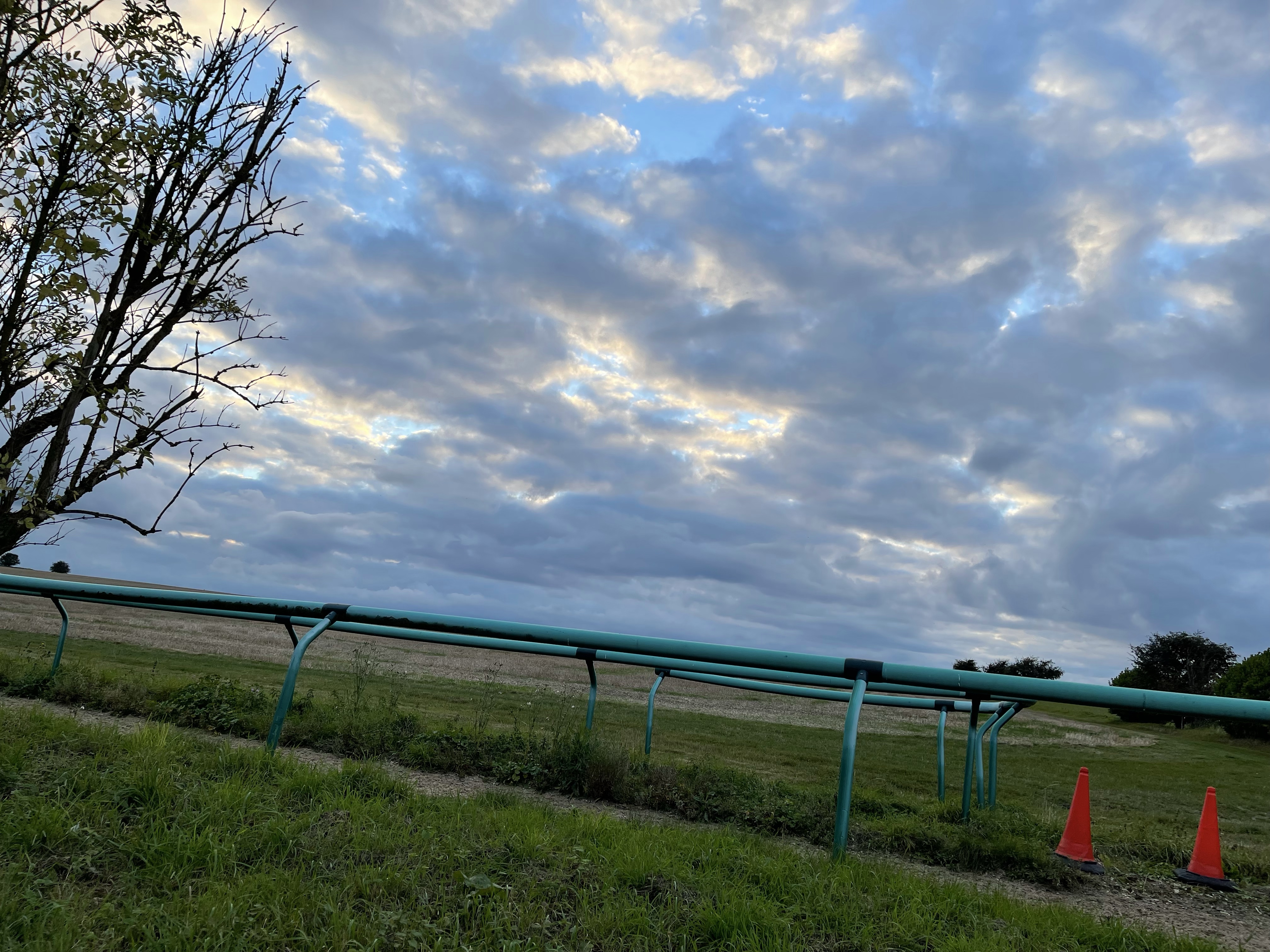
Passed some gallops and Charlton Field and down towards Goddard’s Barn. Then on towards west Lockinge. The path runs alongside Goddard’s Brook and Arn Hill can be seen to the side.
The stables at West Lockinge has been walked passed many times on a Sunday afternoon.
The path bends to the left and through ‘Conker Alley’ and back home.
Today’s walk was 15 km and was a surprisingly warm afternoon having been quite cold in the morning.
The next few walks will be somewhere rather different.
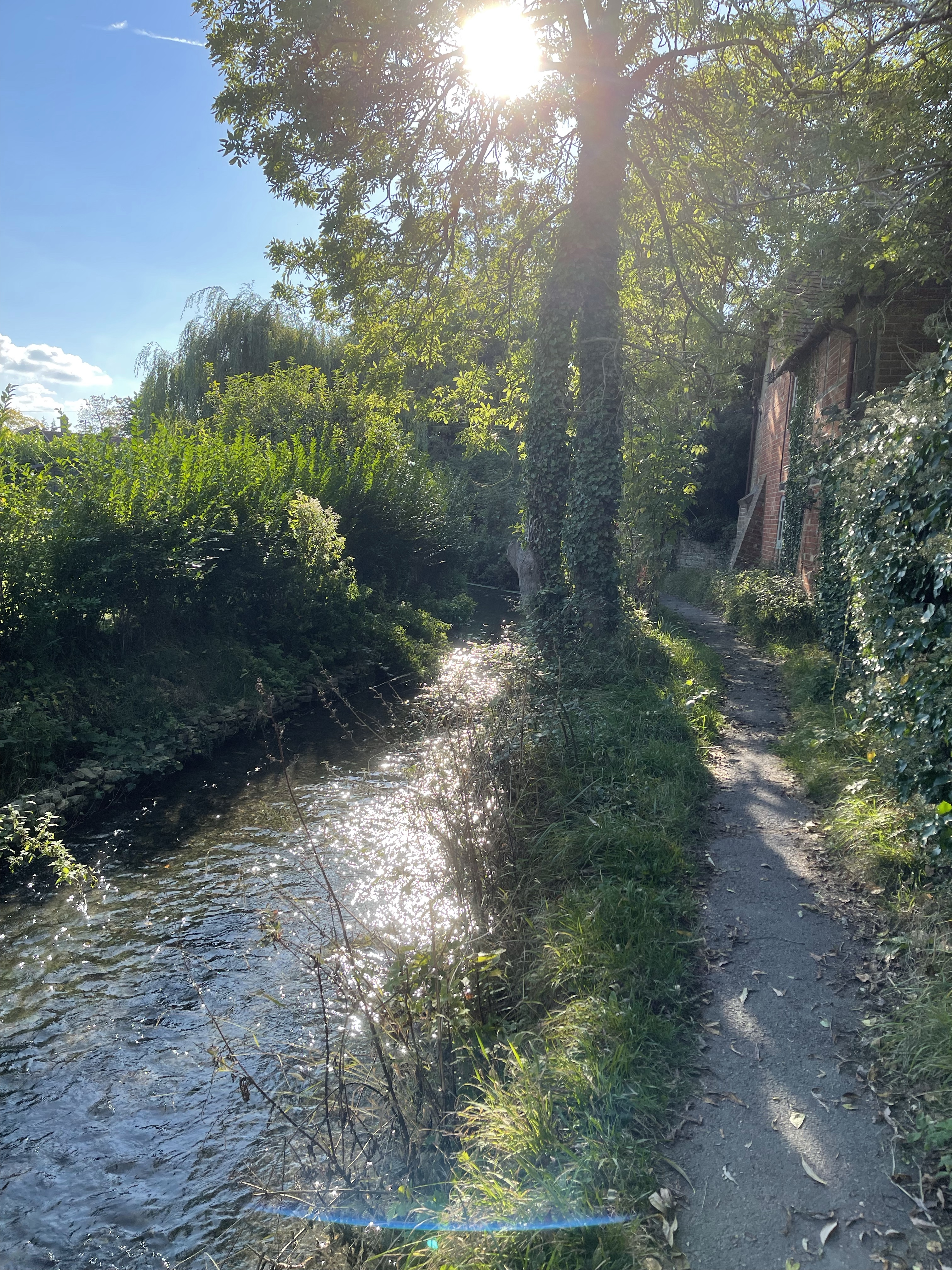
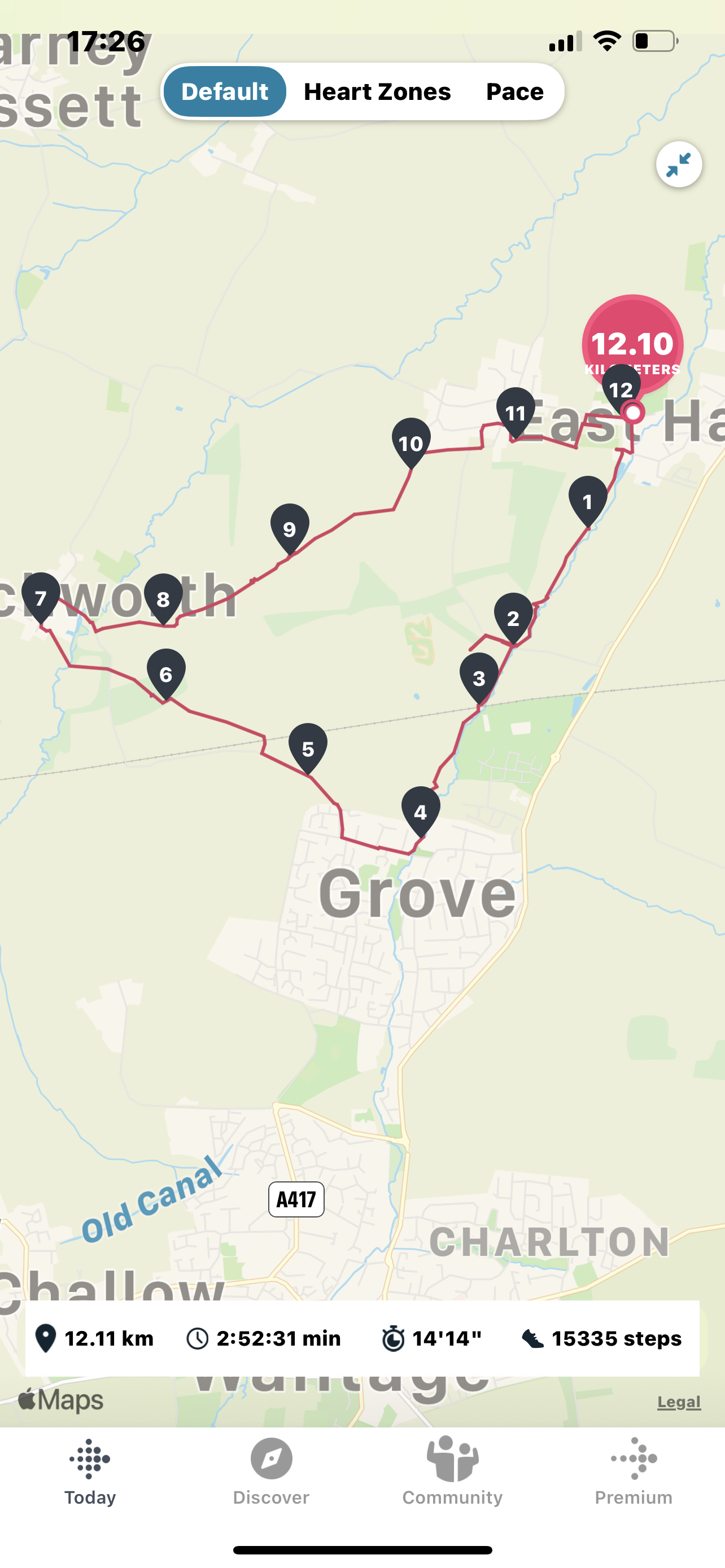
Today’s walk started a few miles from home and visited four different villages. I started by parking in East Hanney Village Hall Car Park. Backtracking down the road for a couple of hundred metres I started off on a path which is adjacent to an old, large commercial mill building.
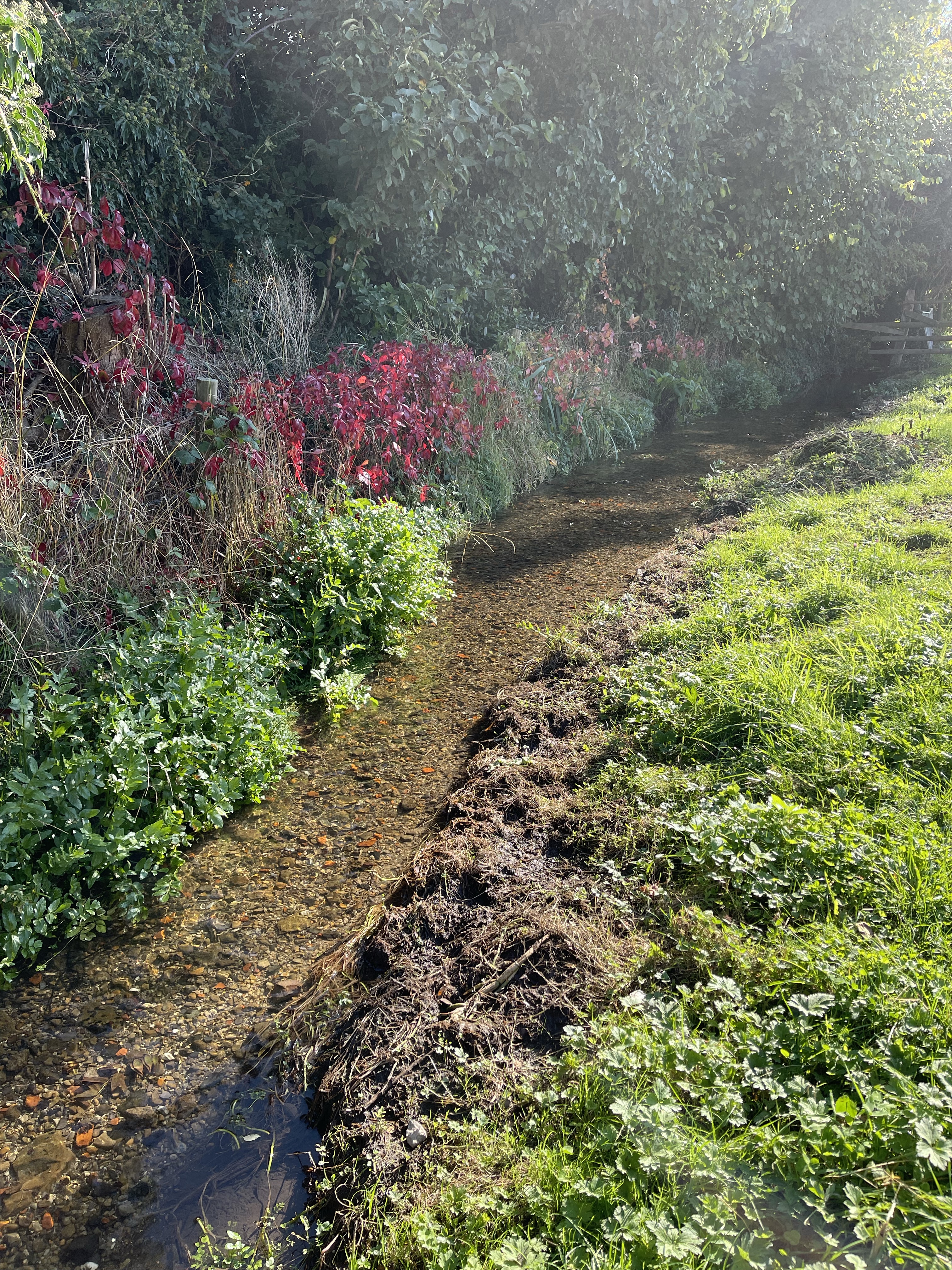
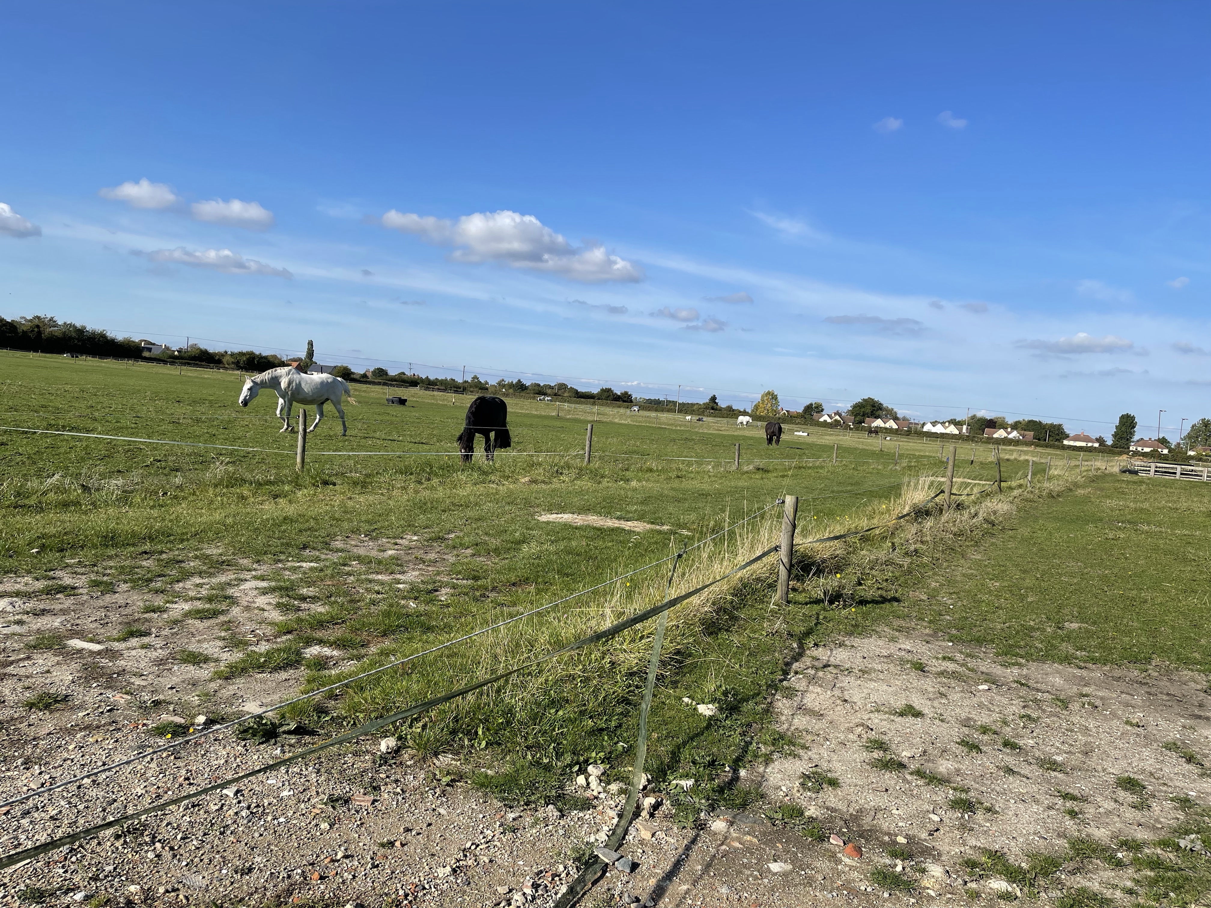
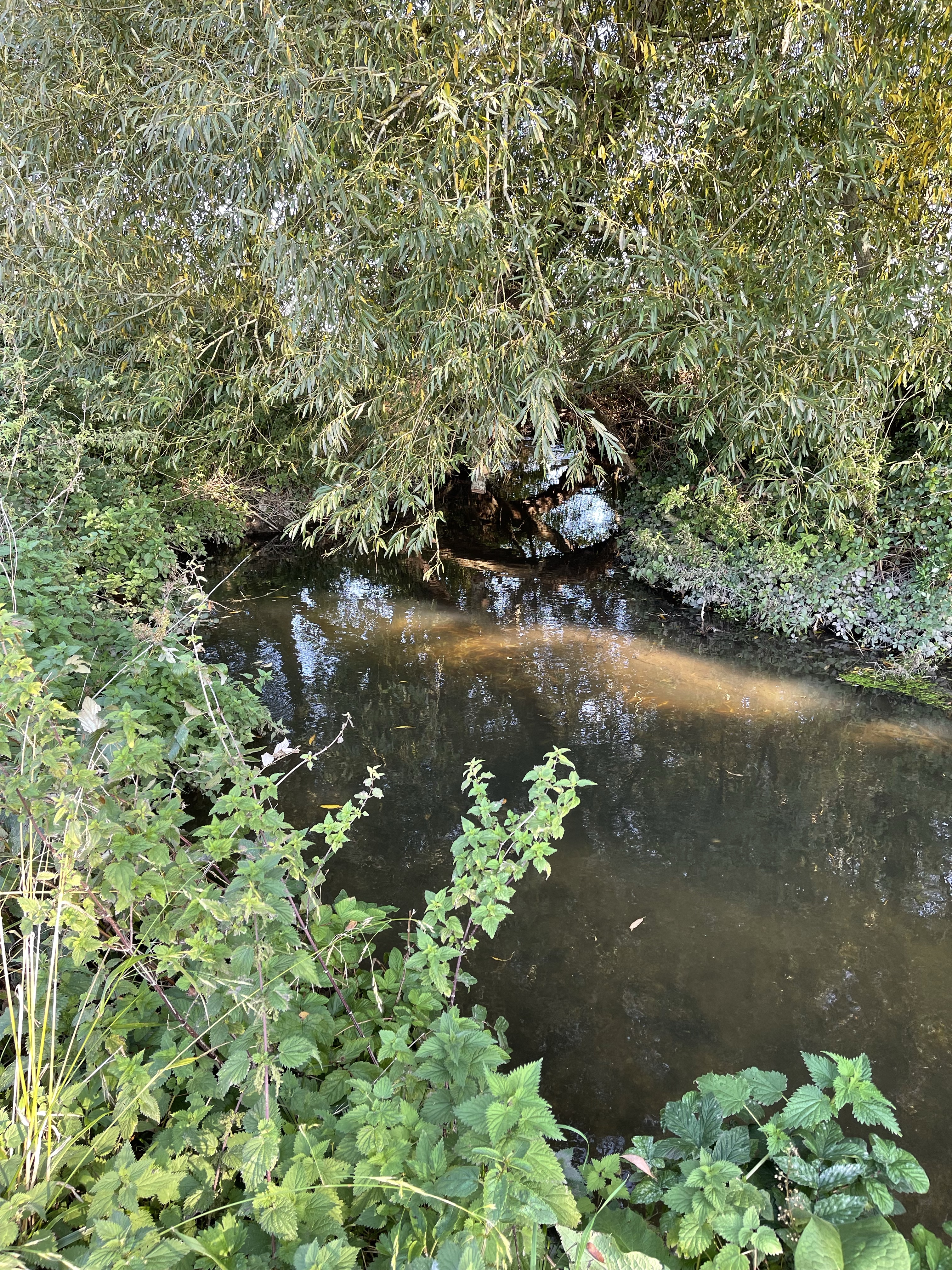
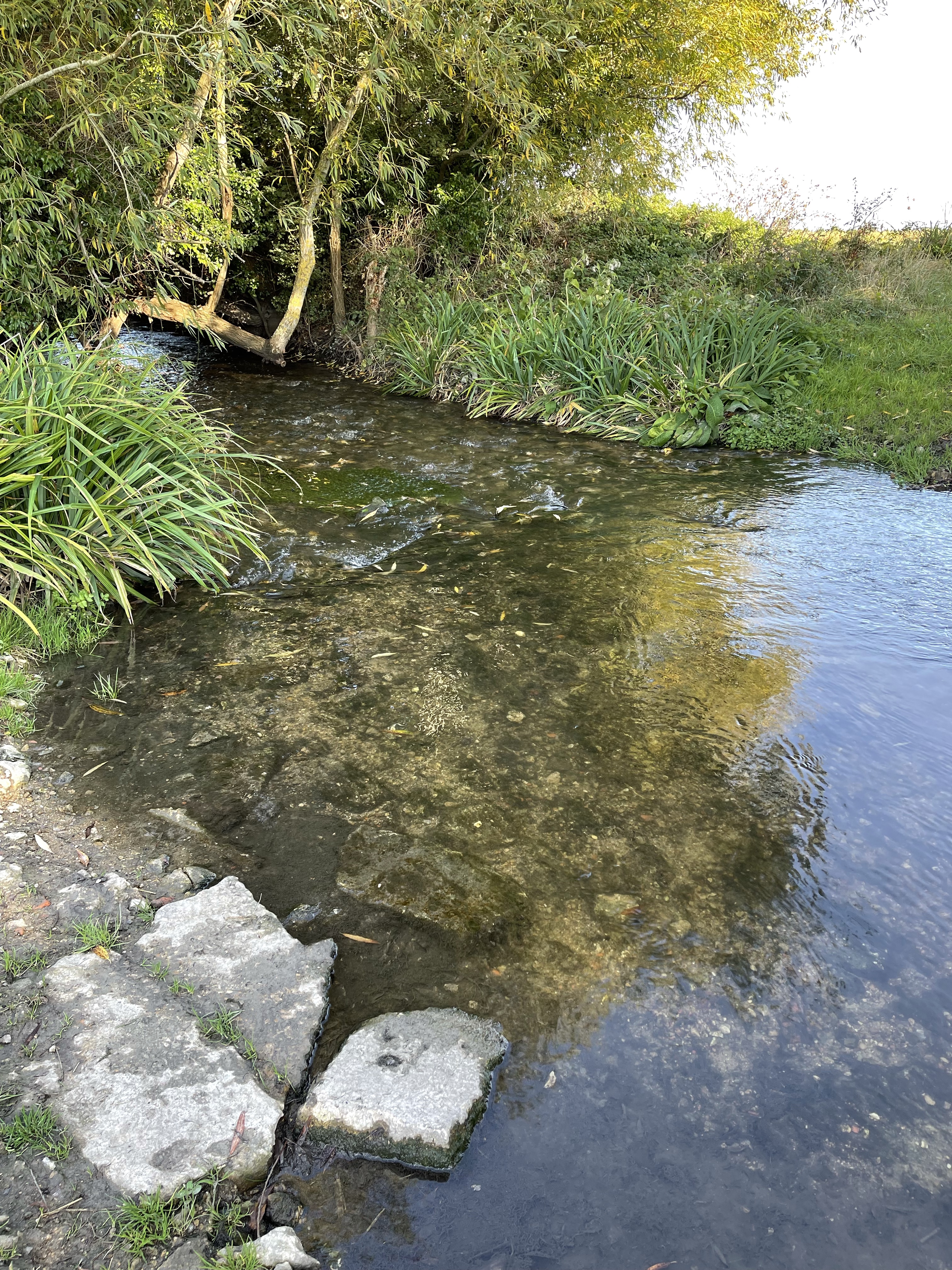
My path turned away from the village and alongside the clear waters of Letcombe Brook. The fields all seemed to contain horses!
A tape across the path which looked electrified but luckily wasn’t needed to be unhooked and then replaced. Okay so far but at the next gate the horse decided to come and greet me! Quite difficult to open with such a large animal the other side. Tried patting it, talking to it but no movement. I think it might have wanted feeding – in the end I told it no and it turned tail and wander off!! First obstacle passed.
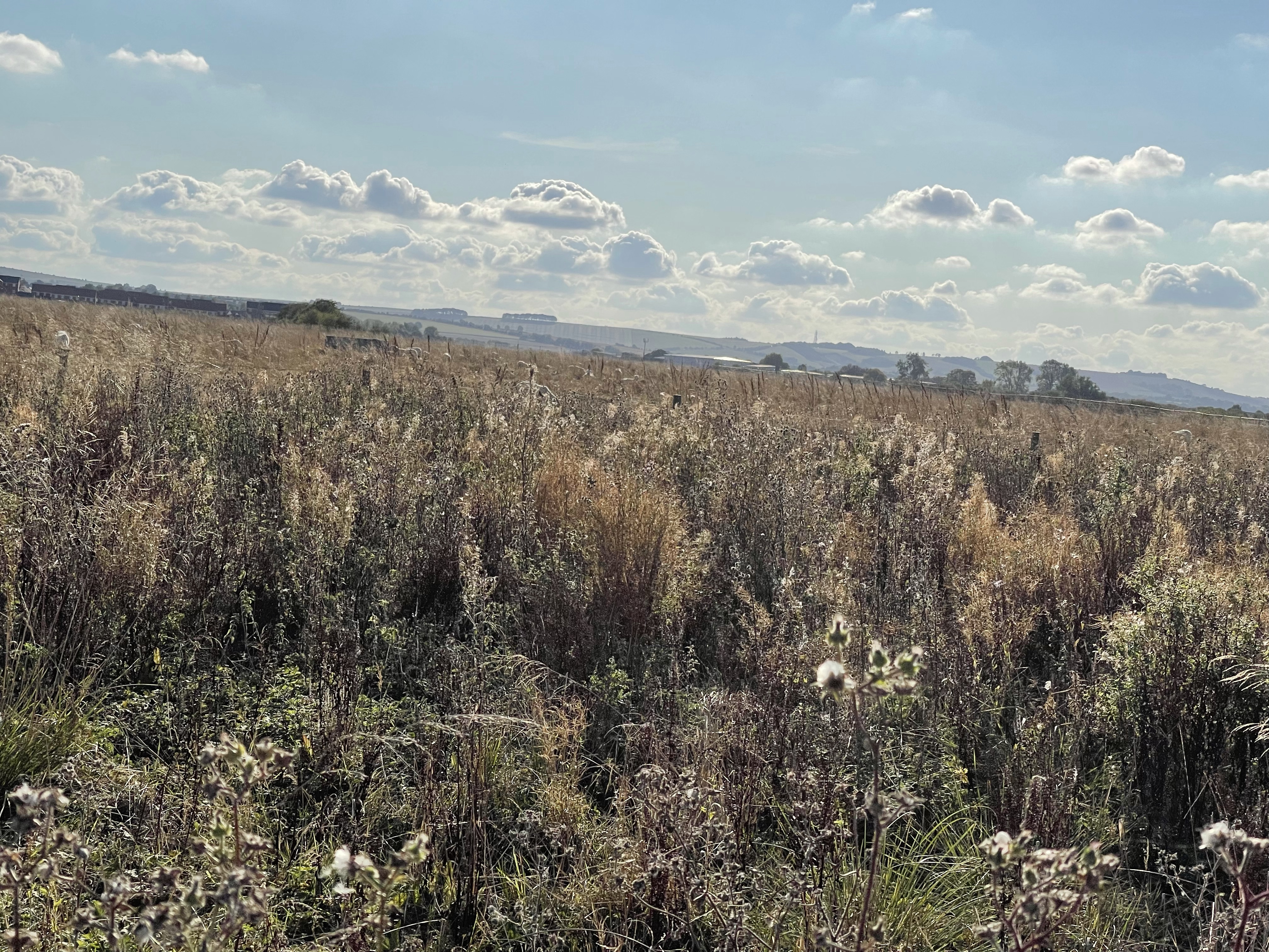
The path passes through several fields, the sun is already significantly lower this afternoon than a month or so ago and the brook continues very clear, quite fast flowing. Slight diversion around a newly planted cabbage field. Quite a few people out today and chatted with a few. At one point it looked as if there was a Ford with a track way on both sides – possibly for cattle.
The path met with the railway track, it looked as if it might go under. Talked about this with a couple I met – path just crosses the track. Not a good thought! As I arrived at the track, two others did as well. They told me they’d done it lots of times – just look either way up the track and listen! Signs about trains travelling at 100 miles an hour didn’t completely reassure. There were in fact blocks between the rails so actually quite easy!
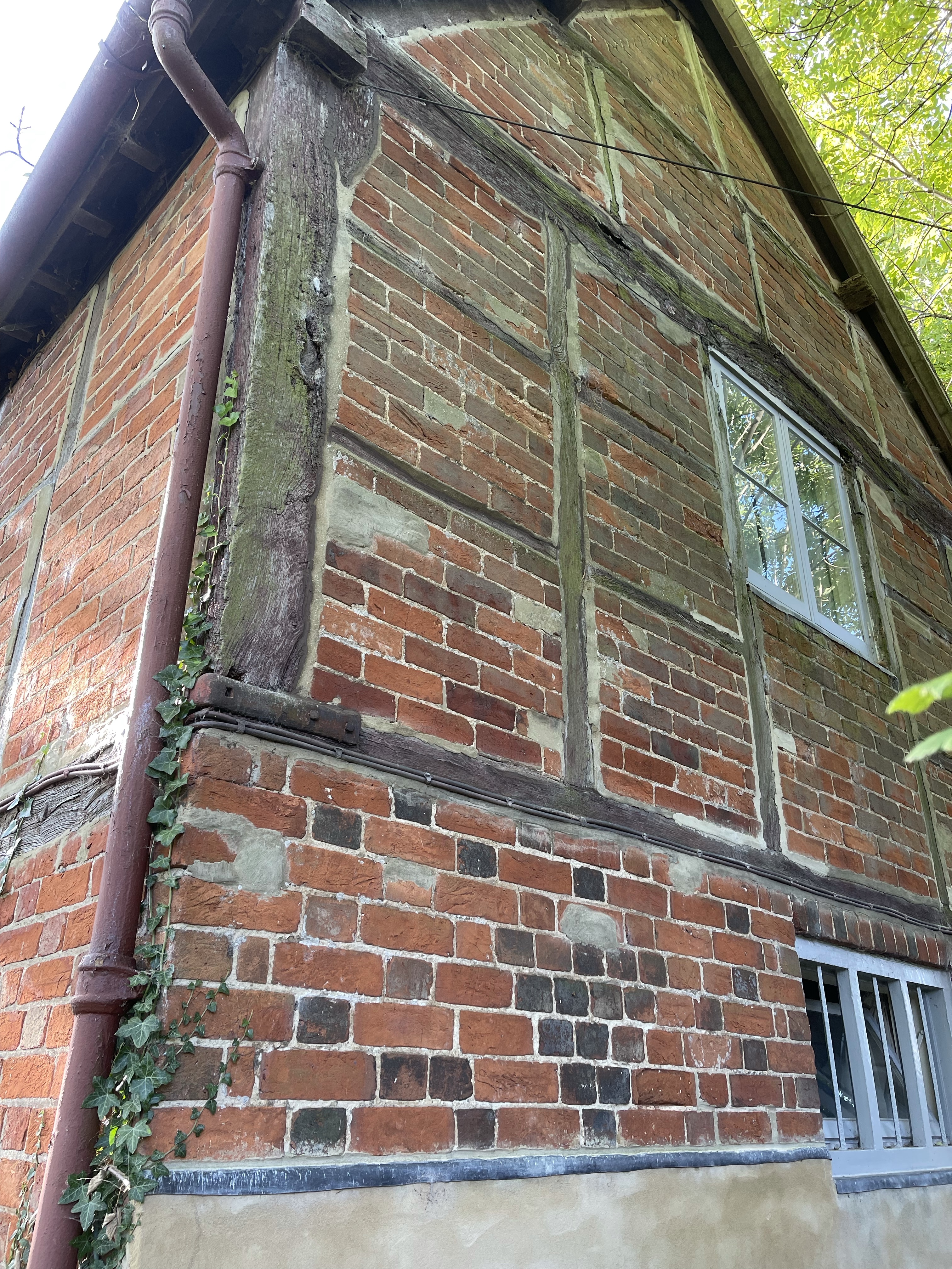
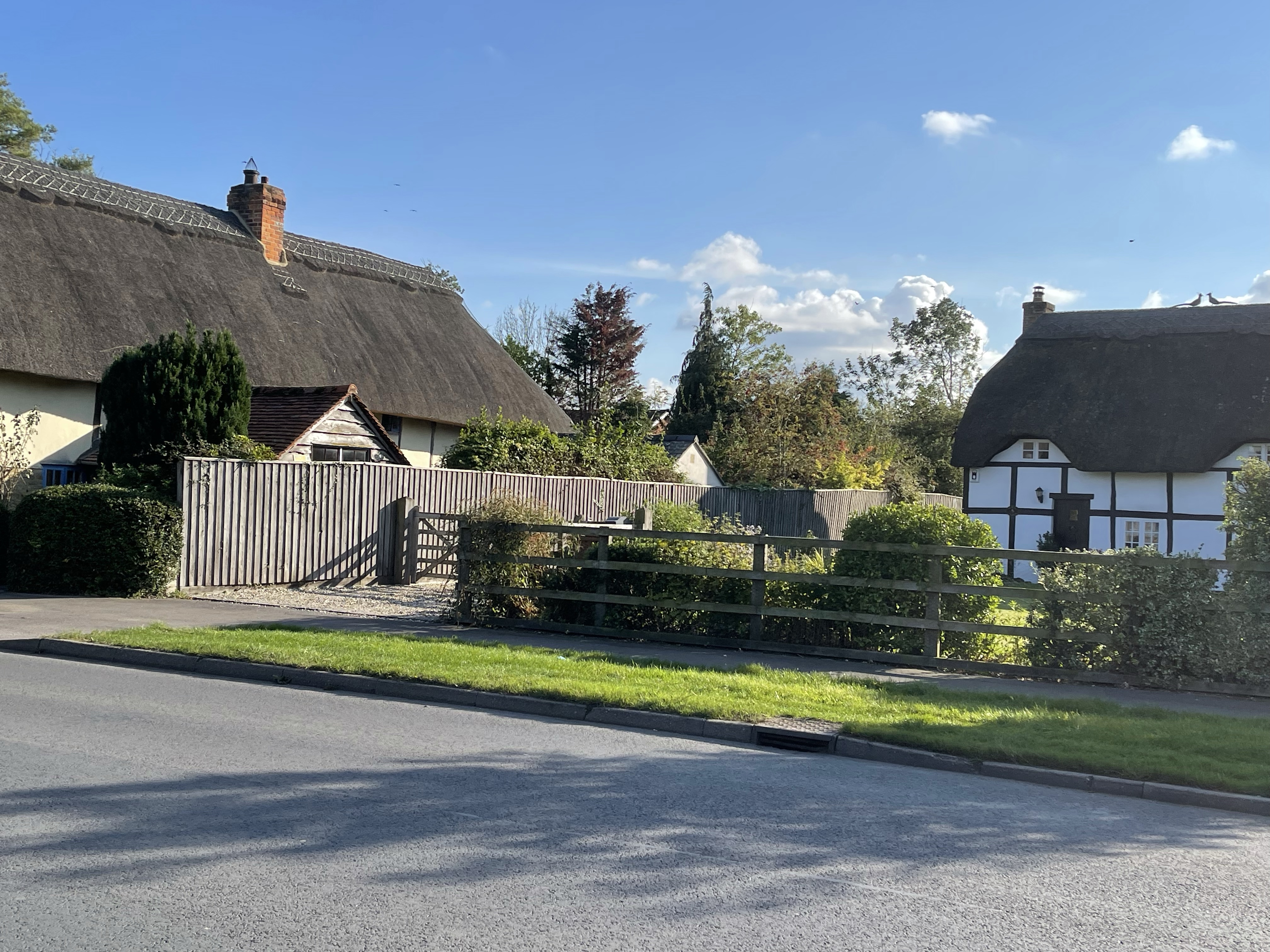
The path led on to Grove – village 2 – barely a village now, more a huge housing estate. The brook runs alongside a building – perhaps once a mill. The path leads onto the village green. In this part of the village there are several older houses.
Along the road for about a kilometre and a half, passed the cemetery and into another field with horses and my second railway crossing.
Quick glimpse over to the Ridgeway.
Three people chatting by the crossing with a long lens camera, waiting for the next train. I diffused my slight anxiety by expressing my slight fear and over emphasising my looking for a train! Nothing to really worry about – all in the head!
Now towards Denchworth and some newly ploughed fields, luckily the farmer had demarcated the path and it was quite well trodden.Across the second field and an arched entrance could be seen into a wooded area, a nice respite after so many open fields.
The path now crosses Childrey Brook, walks like this really reinforce why these are called spring line villages. The rather inconspicuous church soon comes into view, tucked into a corner near the Manor House. Not much to see from road apart from a large entrance arched gateway and a sign further down the road indicating the Tradesman’s entrance! Not a big village but a few pretty houses.
The route took me for about 400 metres along the road to Grove which I had crossed a little further down, across the brook again and then onto a track to West Hanney. The path was on a road used as a public path. No chance of loosing my way here!
The path turned to run parallel and behind the village and came out close to the ‘Plough’ – now a community run pub. A little further along and the church emerged tucked back away from the road and with the footpath leading around the edge of various cemetery areas.
A short section back towards West Farm in East Hanney and even more horses roaming in the field which was my direct route. Chose to go up towards the school on the main road but took the path behind a row of houses only to be told by an occupant that the path had been blocked. Quick double back and along the road to the car park and my car. My walk this afternoon was just over 12km.
It did give me the opportunity to try another new pair of boots. My left hip scar and underlying muscle had been feeling quite sore when I wore my new boots – not terrible but a bit uncomfortable. Decided to get something with as good a sole but perhaps a little lighter for some walking I’m about to do! A successful outing!
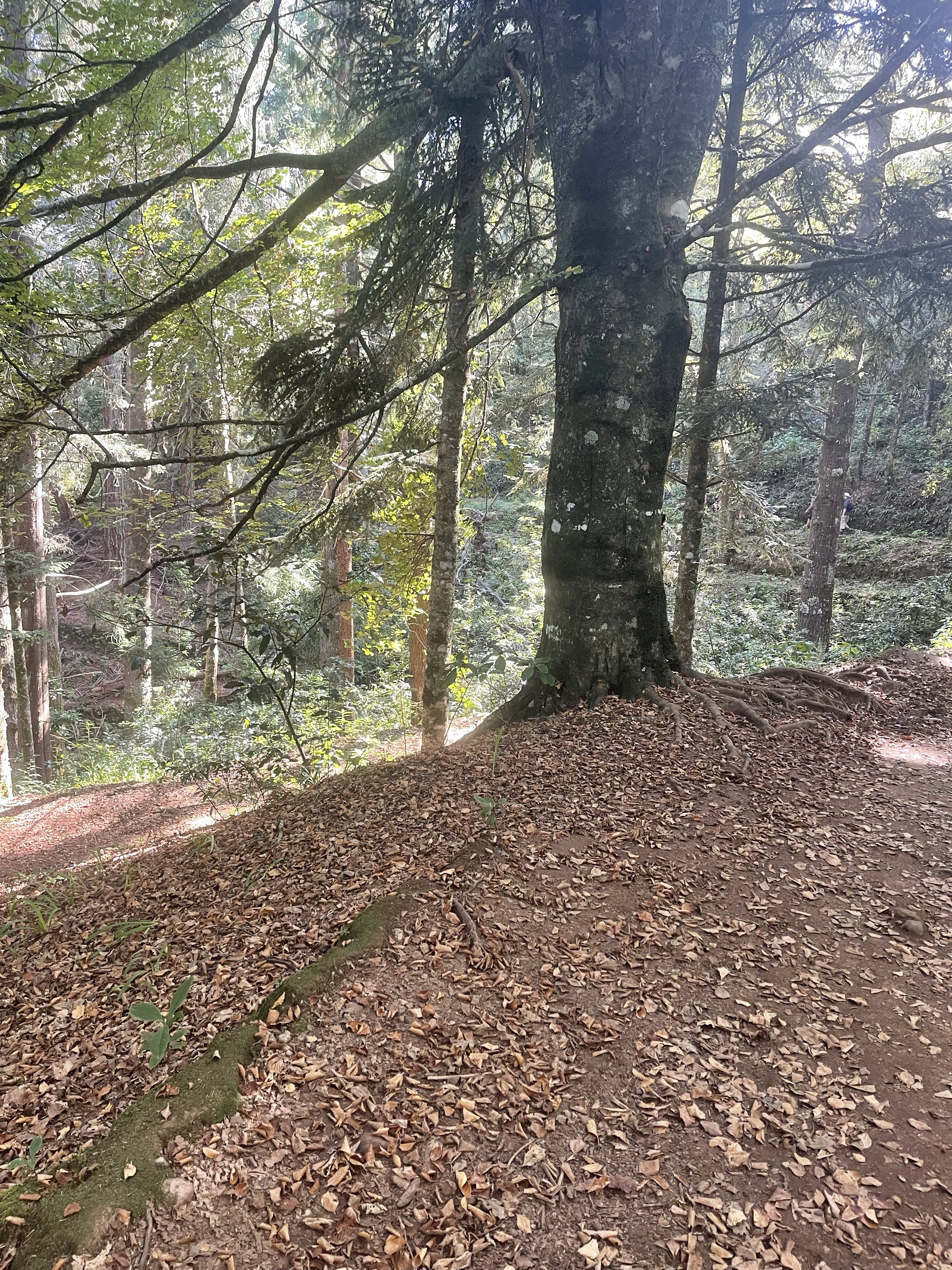
Having spent much of the day on spread sheets I decided I needed a walk, not really pre planned, just went from the house. My classic route of down the lane and along conker alley which is currently true to it’s name! Bit concerned about the state of some of the trees though, the leaves seem to be dying early this year.
The colour of the landscape is beginning to change and I was hopeful that there might be some colour in the sky later on in the walk. There are some beautiful trees as Lockinge Church is approached but being rather short the fence was in the way for most of the path!
As I got closer to the church I was very much struck by these amazing seed heads. So much art in plants!
Major works by the church where the water goes through under the driveway. It’s damed on one side to create a small lake and on the other a waterfall. Last year however it just flooded everywhere, obviously some restructuring needed.
The light is good over the church and then following the path around the cyclamen are out. I guess someone must have planted theses several years ago near the base of a tree but they spring up each year. It was great to see that a wedding took place here back in the summer with bouquets of flowers fastened to the fences to mark a way to walk to the reception in the next village.
The estates around Lockinge and Ardington once belonged to Lord Wantage and many of the wonderful tree specimens must have been designed into the landscape. Too late for Capability Brown but I would guess inspired by his ideas. My path goes passed the back of Barton House and the newly planted orchards.
Next passed Ardington House, no weddings today but it’s early evening and some extra marquees are being put up – perhaps preparing!
As I go to the end of this track and start heading back towards the village I decide not to go along the path with the arch but to go the long way round to the far end of the village before I head in the direction of home.
Not the quick way though but up the hill to my right and emerge into Christopher’s Woods. Always a different path to be taken, I optimistically hoped for some wildlife as dusk was approaching. My path led on for a long time – definitely not one I’d taken before and I must say to my surprise I suddenly realised I was very close to the Millenium stones.
A different path again from one I had taken before and then back to the conker lined road and lane to my house. Popped into the back garden to see if there were any good shots of the sky to be had – alas no, so took these instead!
So my impromptu late afternoon / evening walk was 9.26 km. Note to self – key, camera and water next time!