Yet another 50! Walk 10 – 28/03/2022

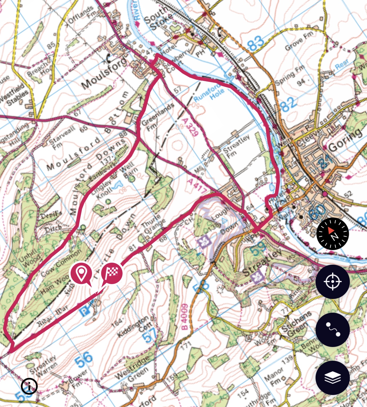
Something quite different today – having walked by the River Thames a few weeks ago I decided to do a different section. This involved a ten minute train ride to Goring from Didcot to start my route.

Some quite interesting little shops in Goring and then the Thames Path is indicated to my left before crossing the river so the path has swapped sides from where I ended last time. The path goes very close to the house that used to be lived in by George Michael. When he unexpectedly died there were many tributes on the bank beside the road – somebody who had integrated well into this community.

Goring is in Oxfordshire, it is on the north bank of the Thames whilst Streatley on the south bank is in Berkshire! I’ll switch between counties later on the walk. My main way of knowing is to do with schools and more recently when the Vale Football encompassed this area as well which schools my team had played against!

Quite a foggy start to my walk today – the river is complex at Goring, there is a lock and several weirs.

Slightly eerie, quite soon I spot a heron and was. Able to watch for a while until it took flight.

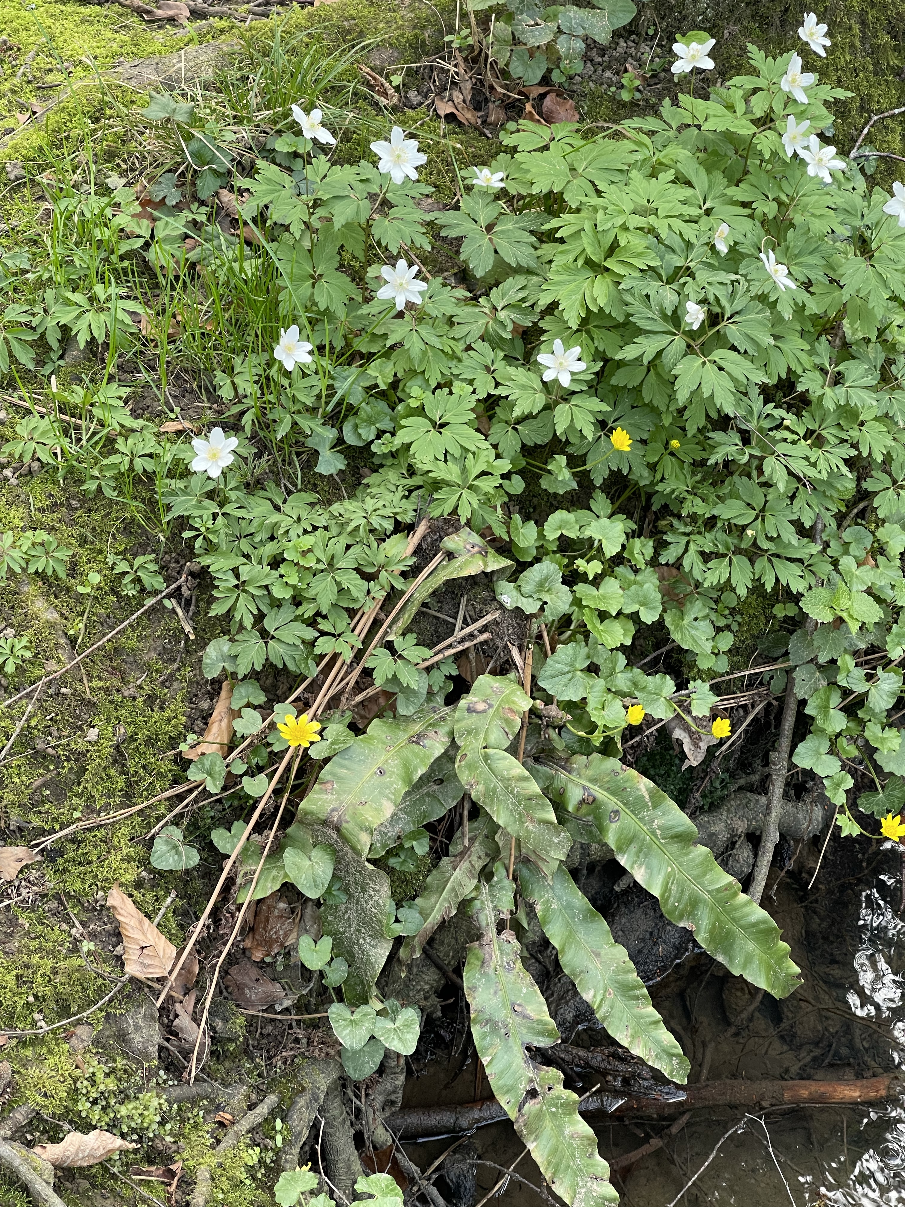
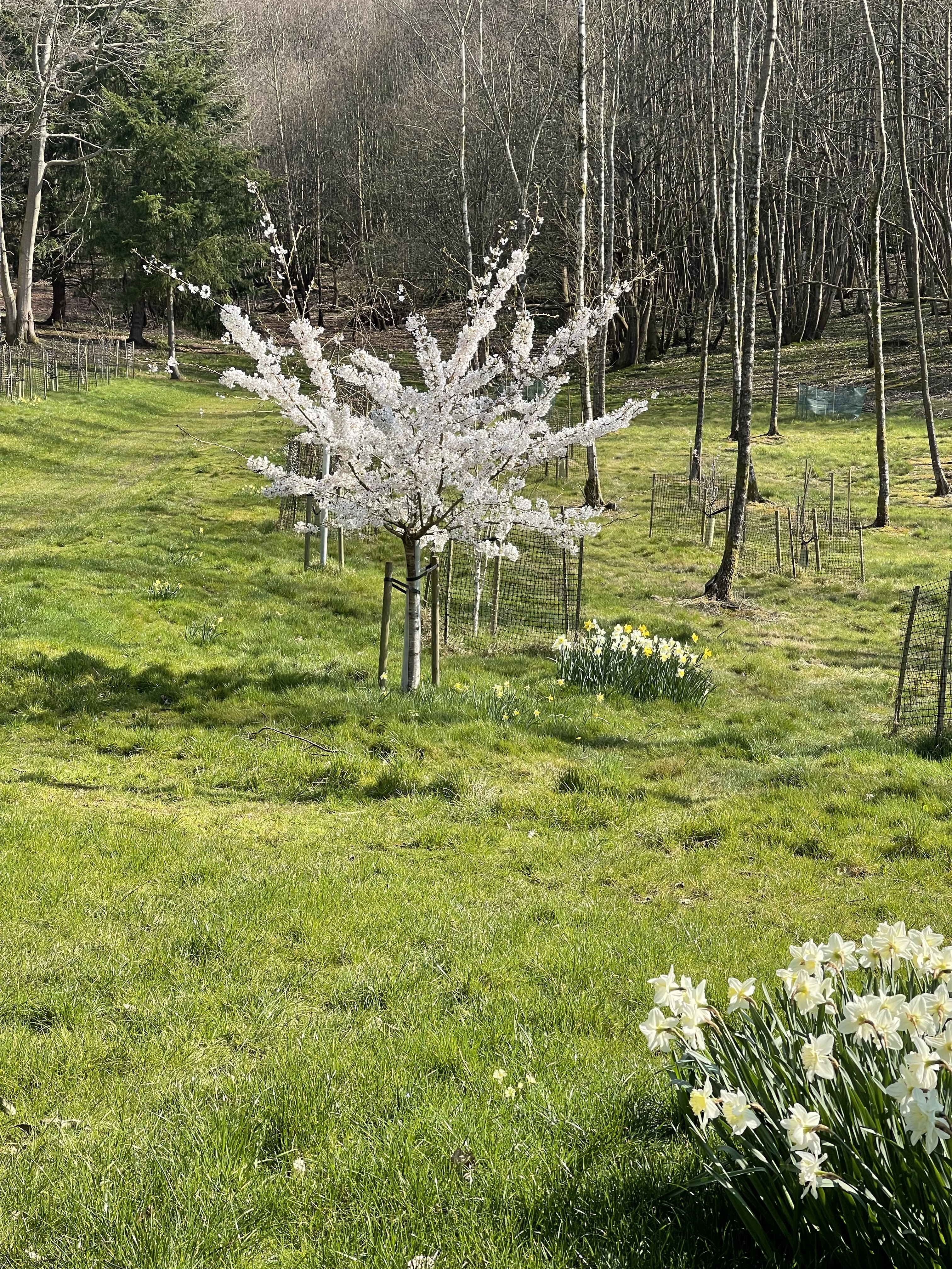
The live setting on my phone was great in this situation as it captured the movement. So a couple of dog walkers out along this stretch but otherwise very peaceful if not quite a sharp temperature – the forecast is good but I’m grateful for my gloves. My much used sleeveless jacket is such a good article of clothing and usually saves me wearing a coat. A bit more early morning magic!

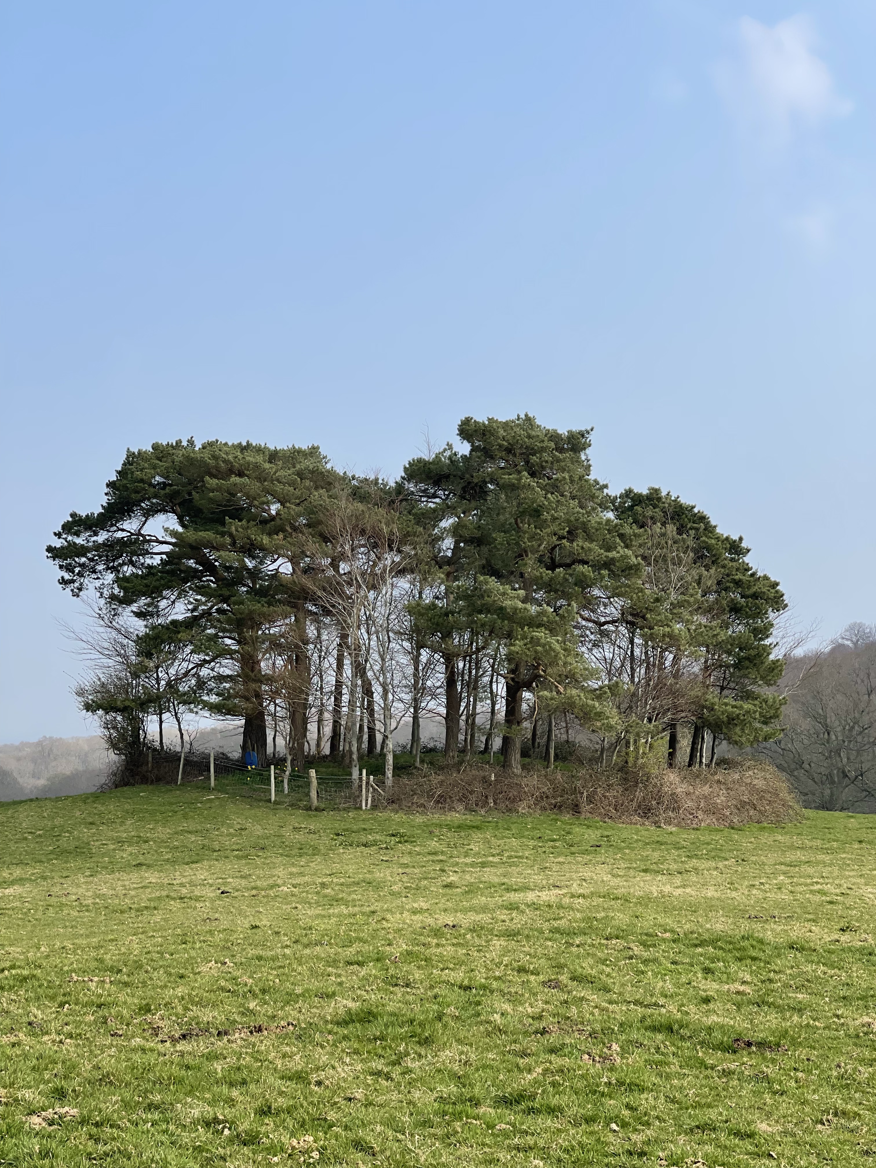
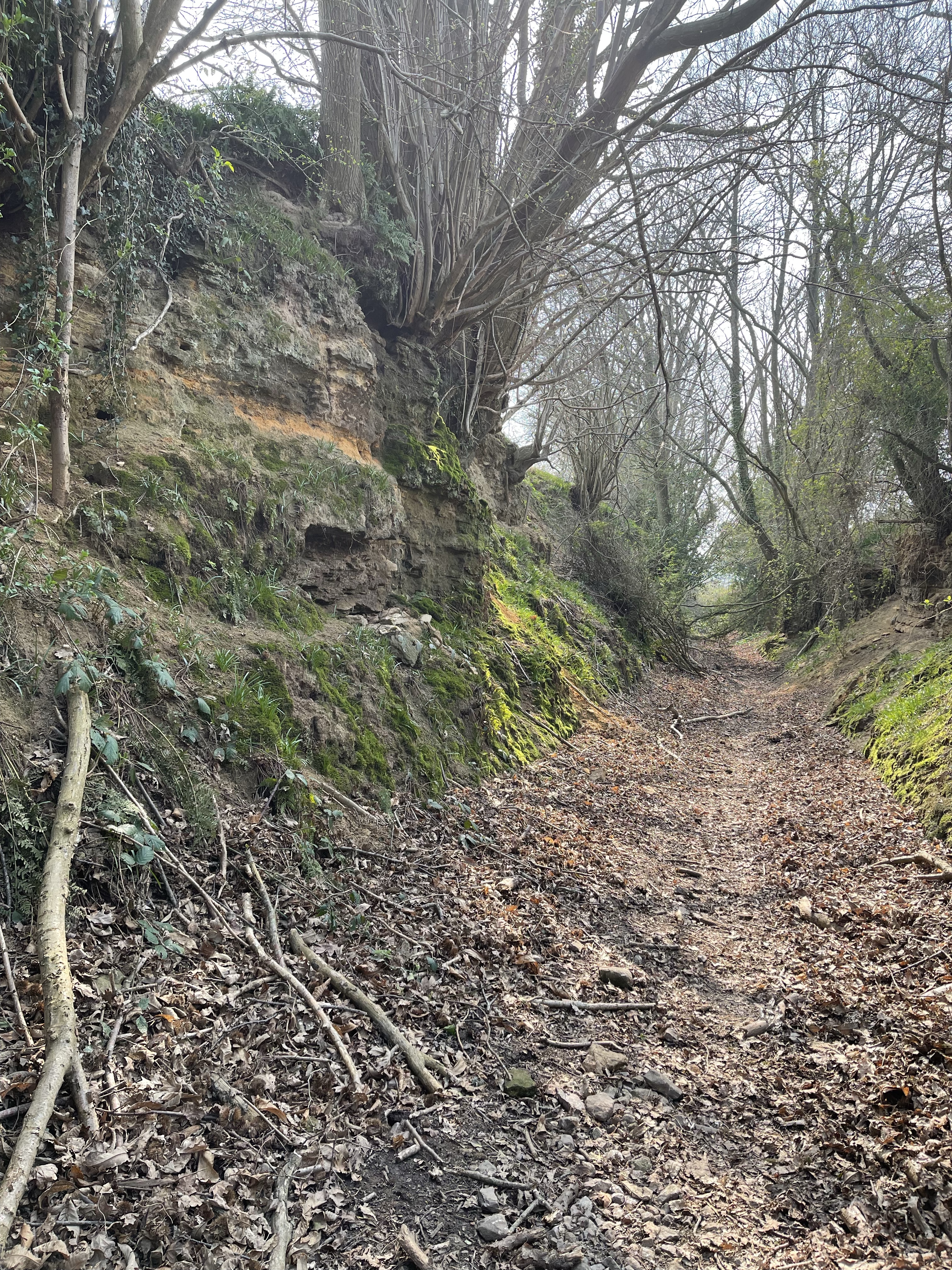
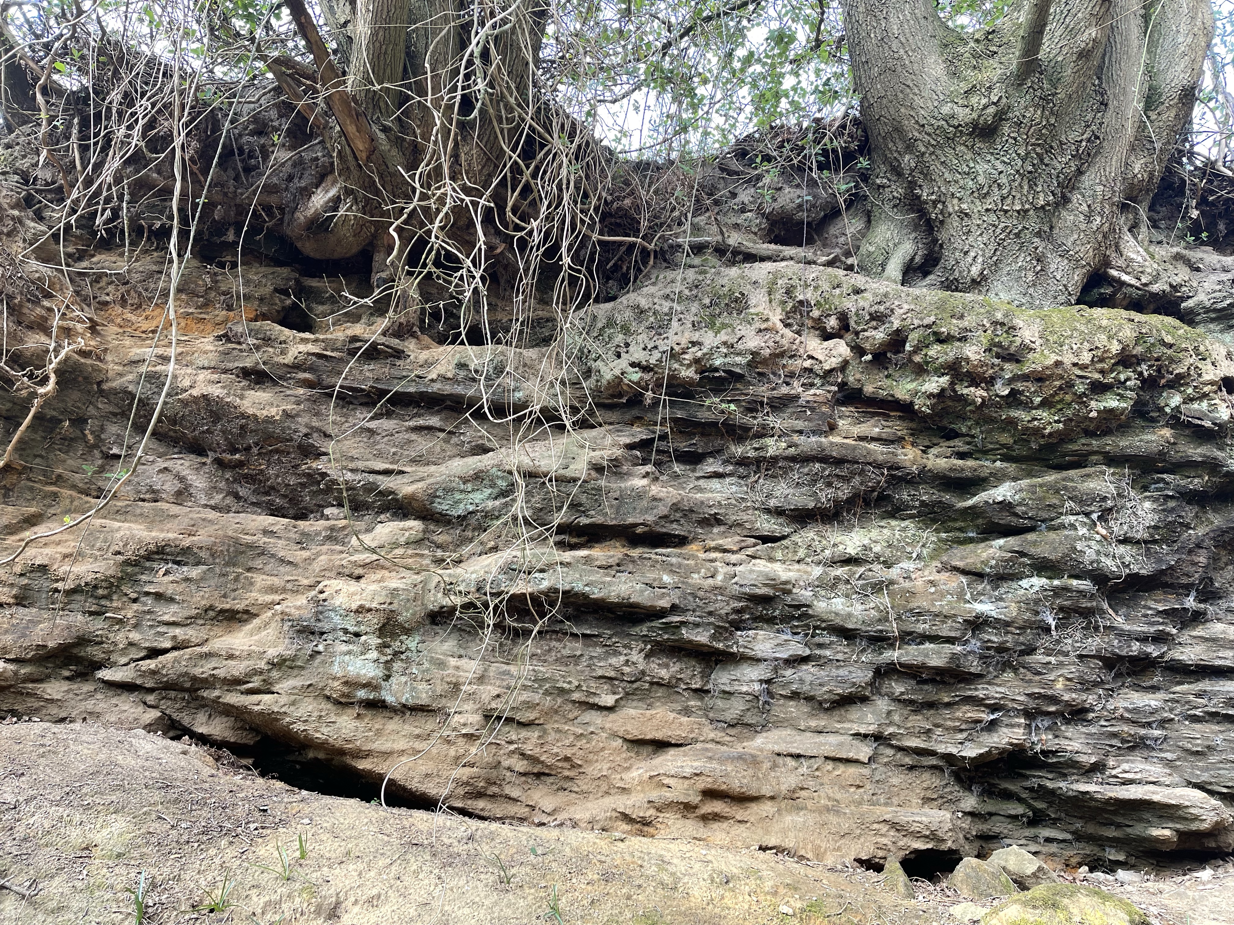
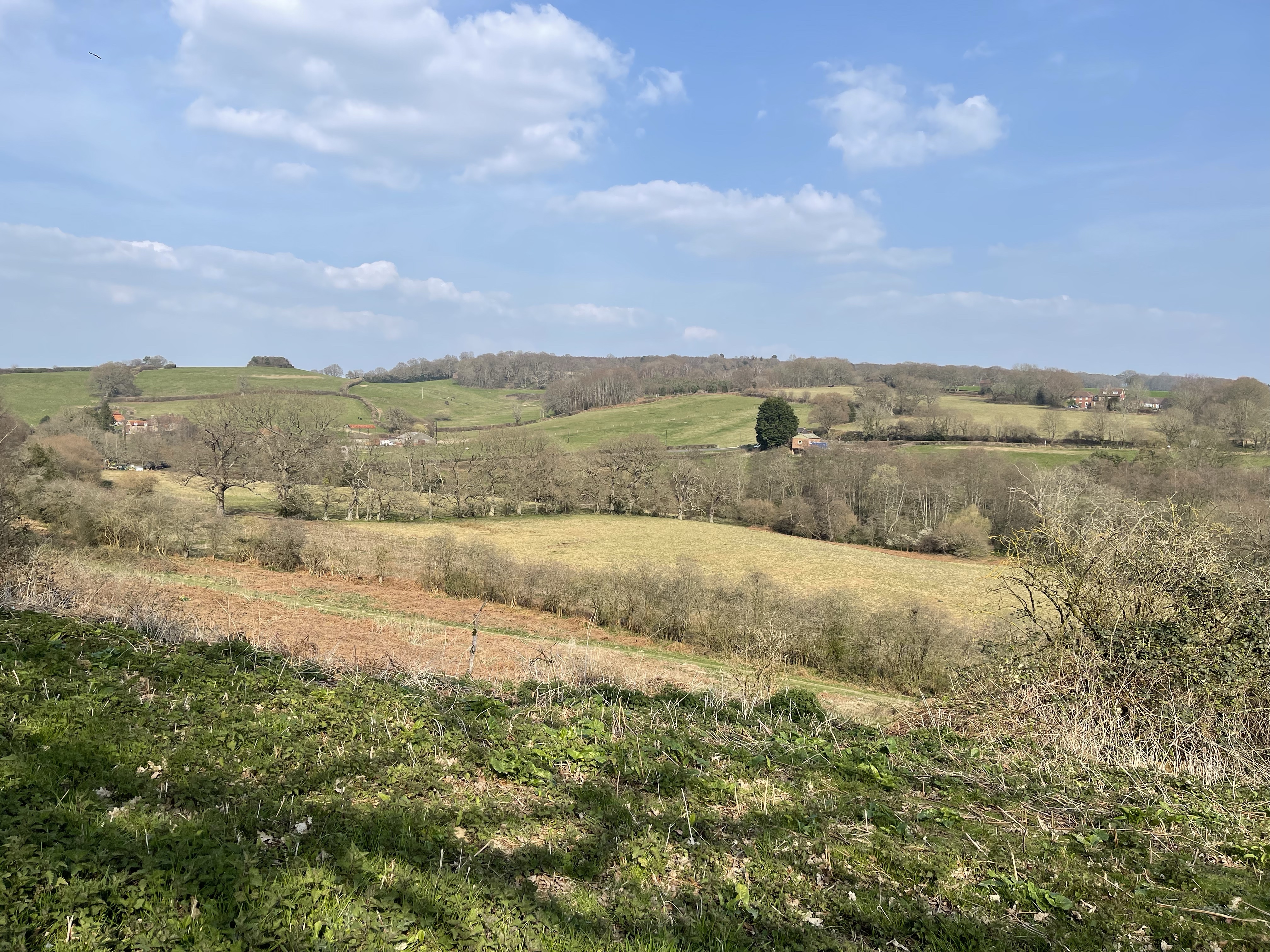
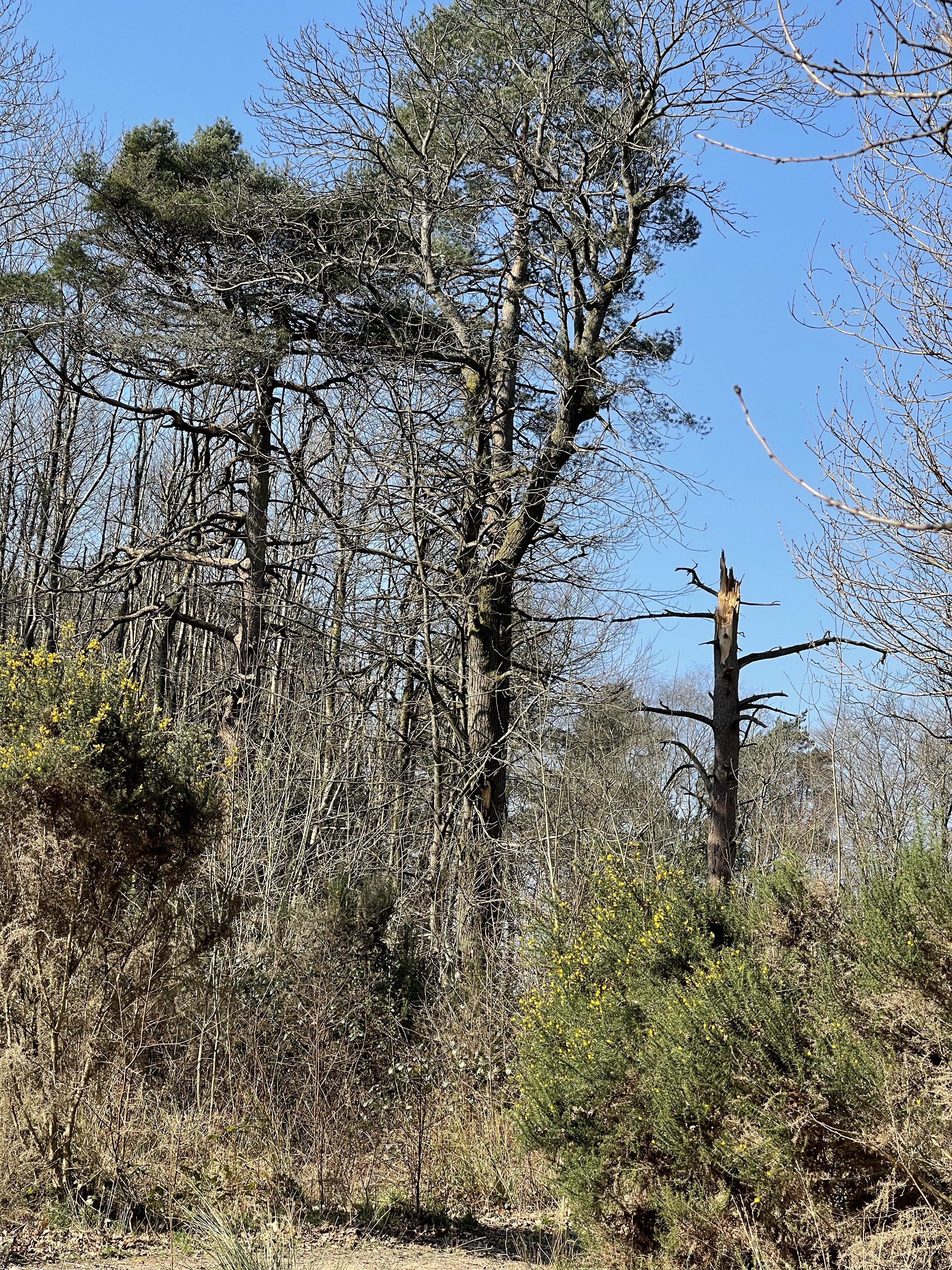
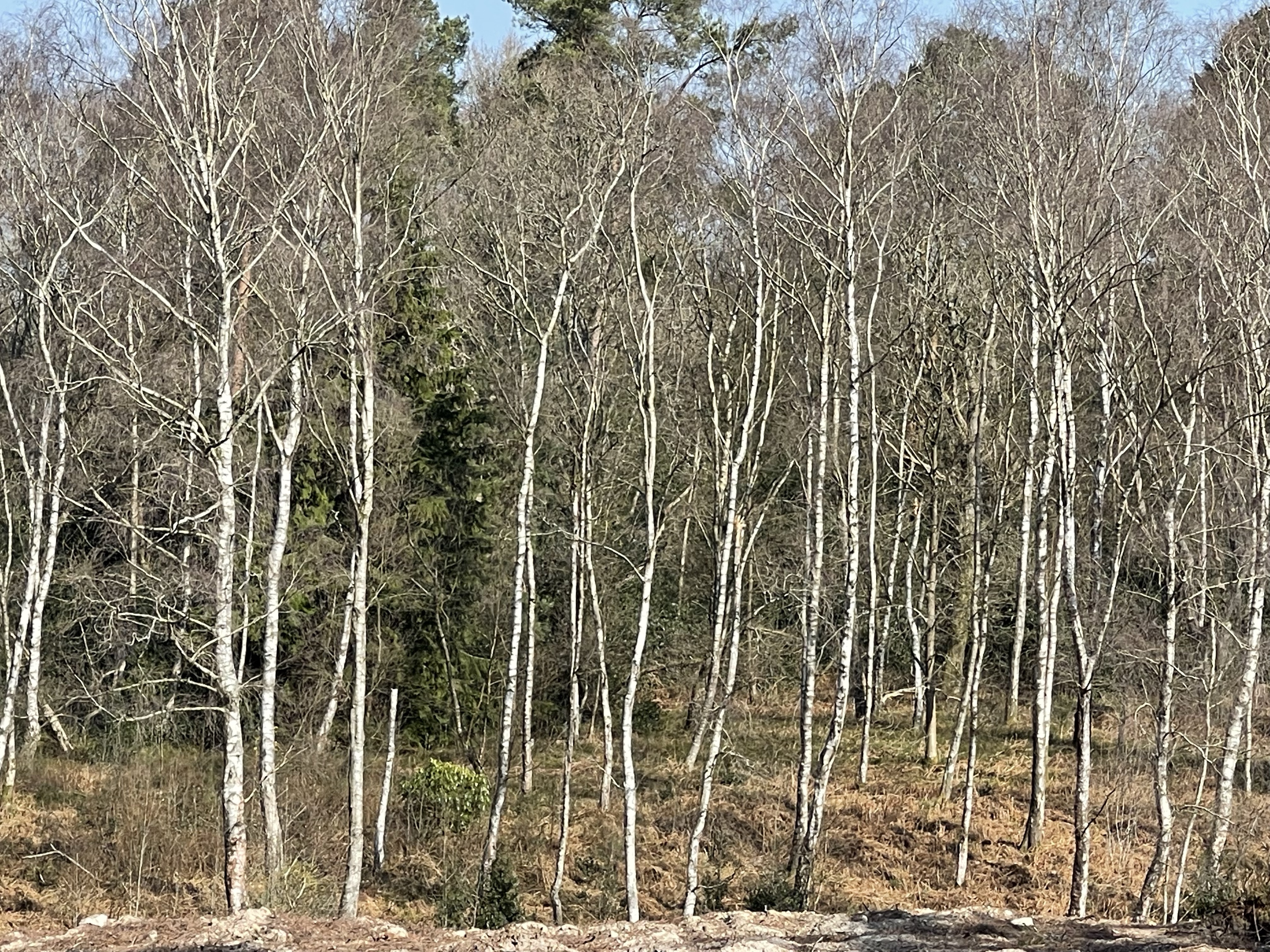
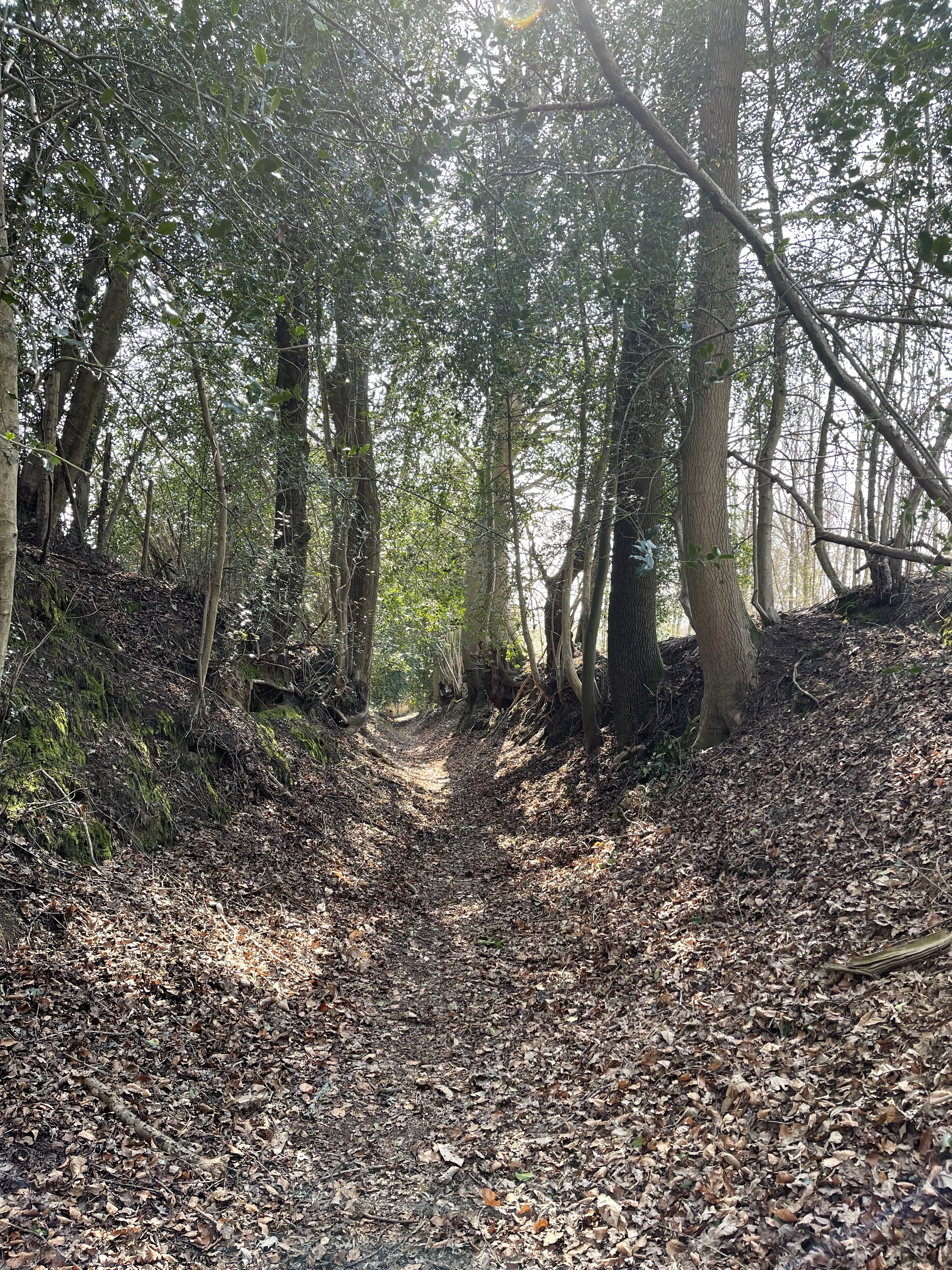
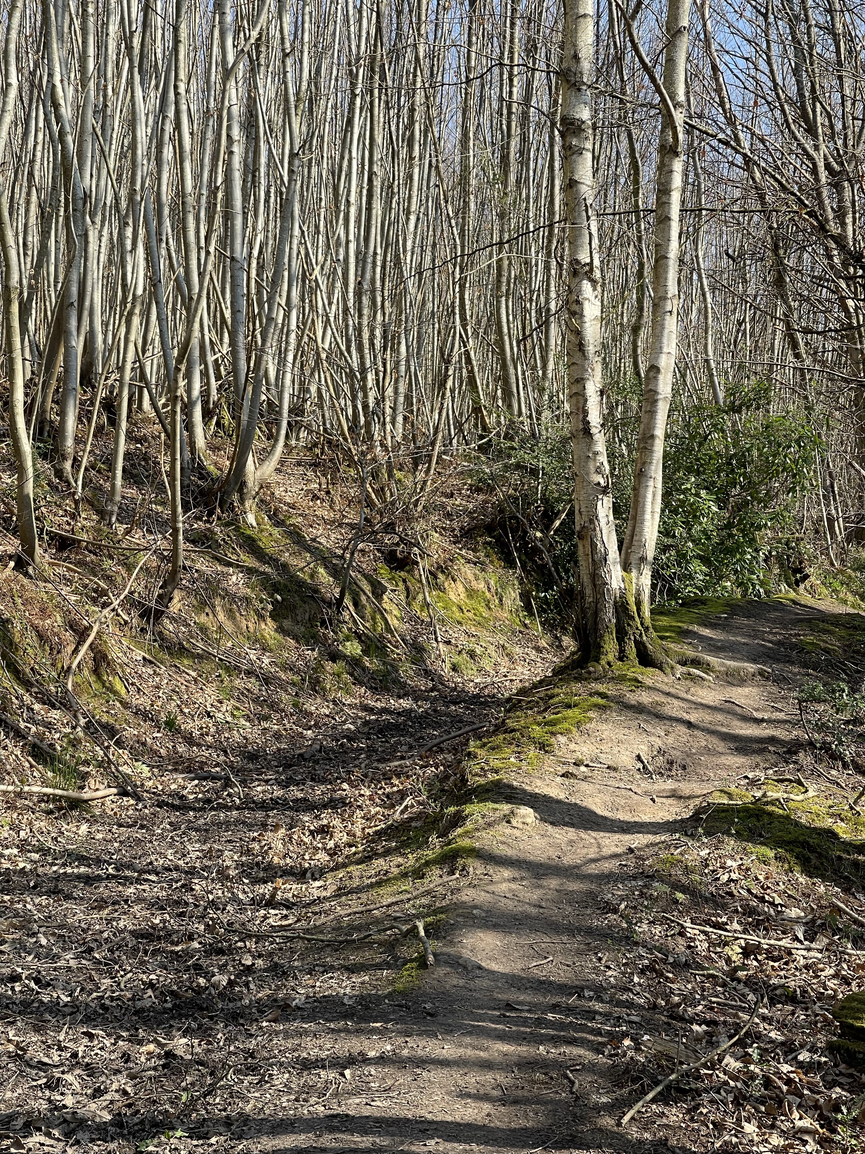
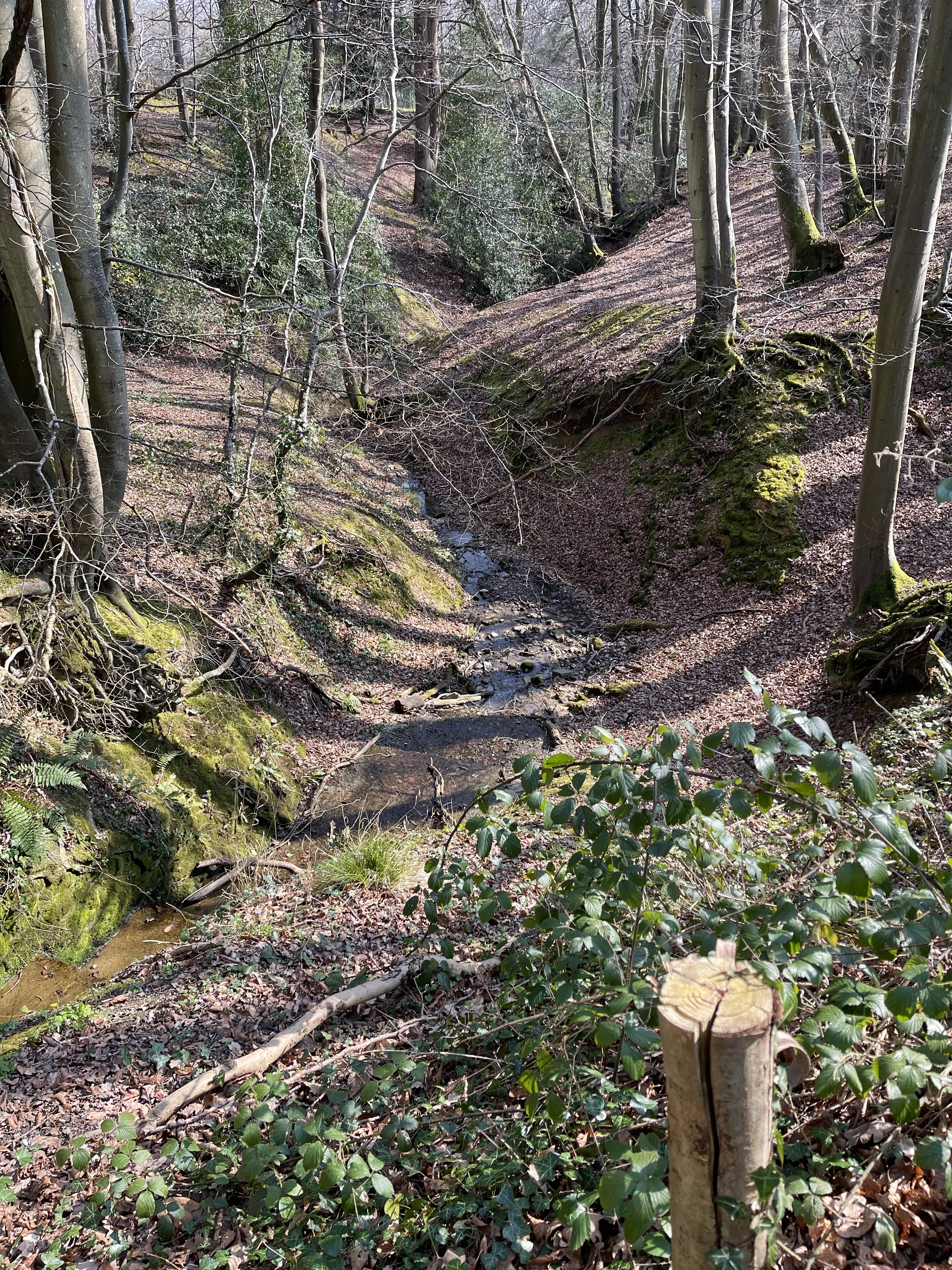
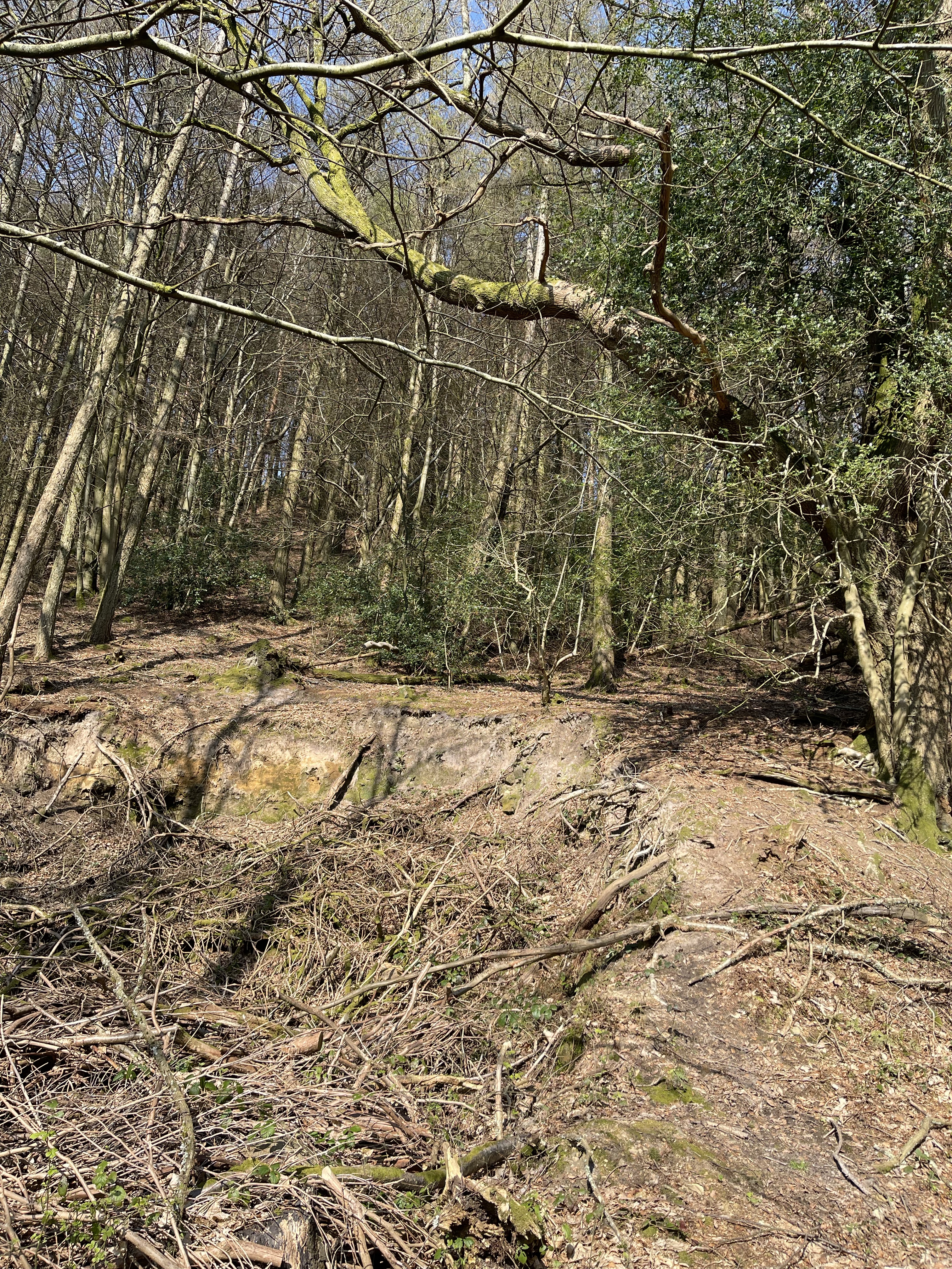
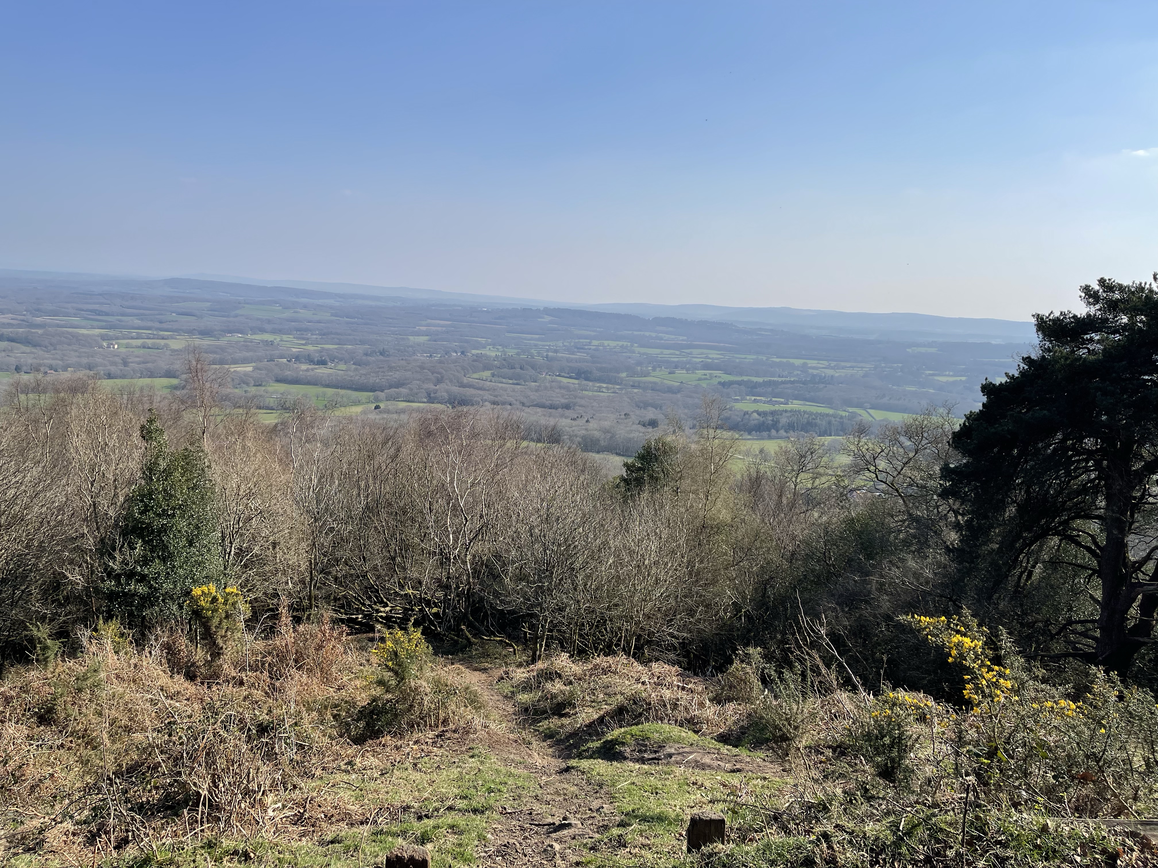
I’ve already gone under the railway line but every now and again I’m reminded of it’s presence. To my left I can see the undulating scenery as I make the only climb of the day and begin to make my way into Hartslock wood. A tunnel of Blackthorn as the path gets higher and the drop down to the Thames gets greater – quite a pleasant stretch even though the water is no longer in touching distance.

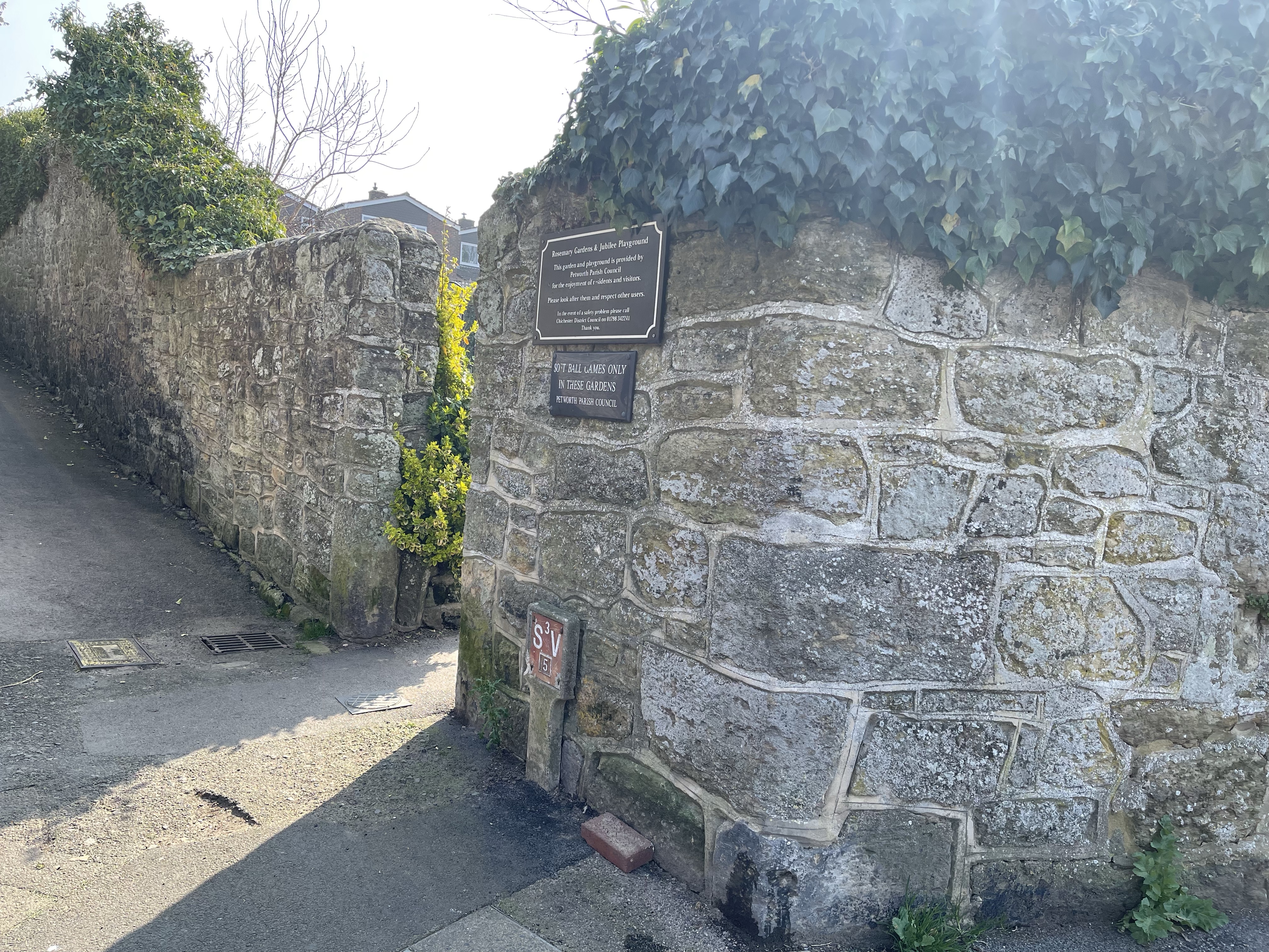
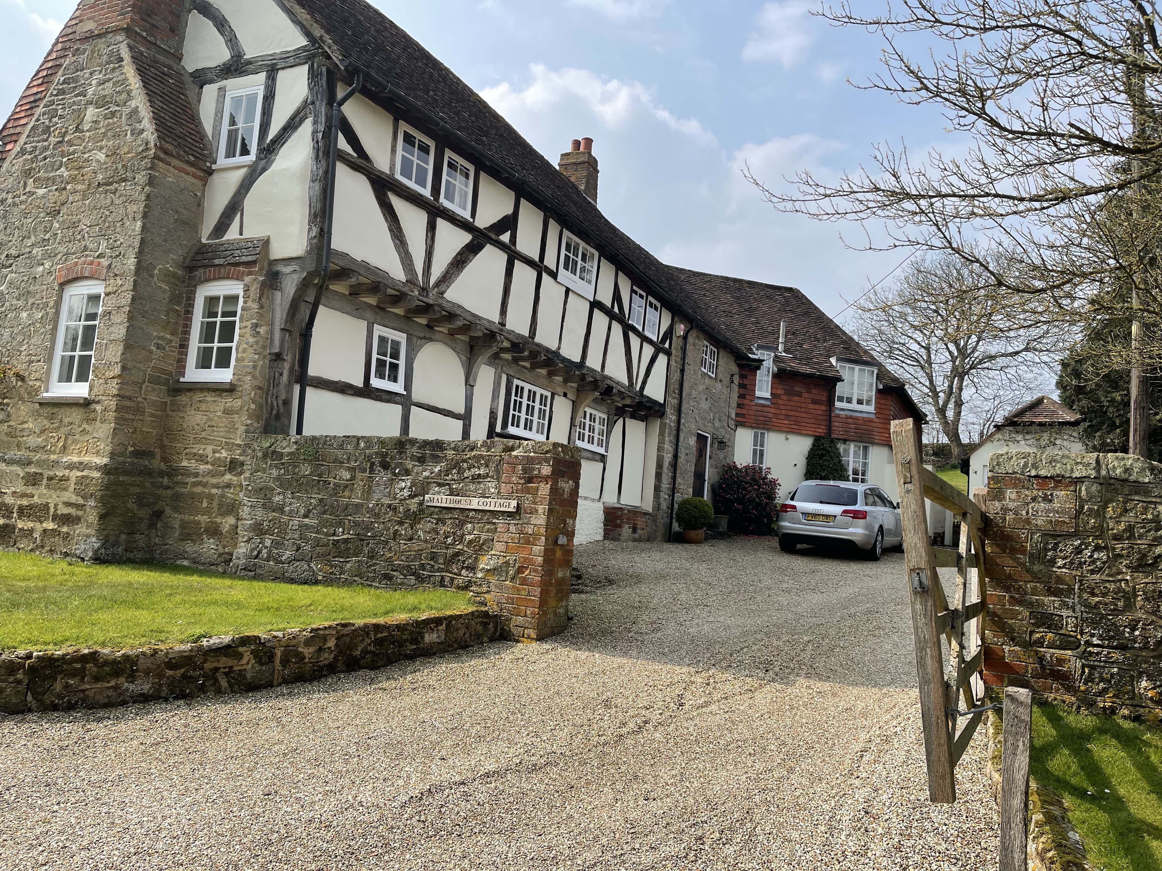
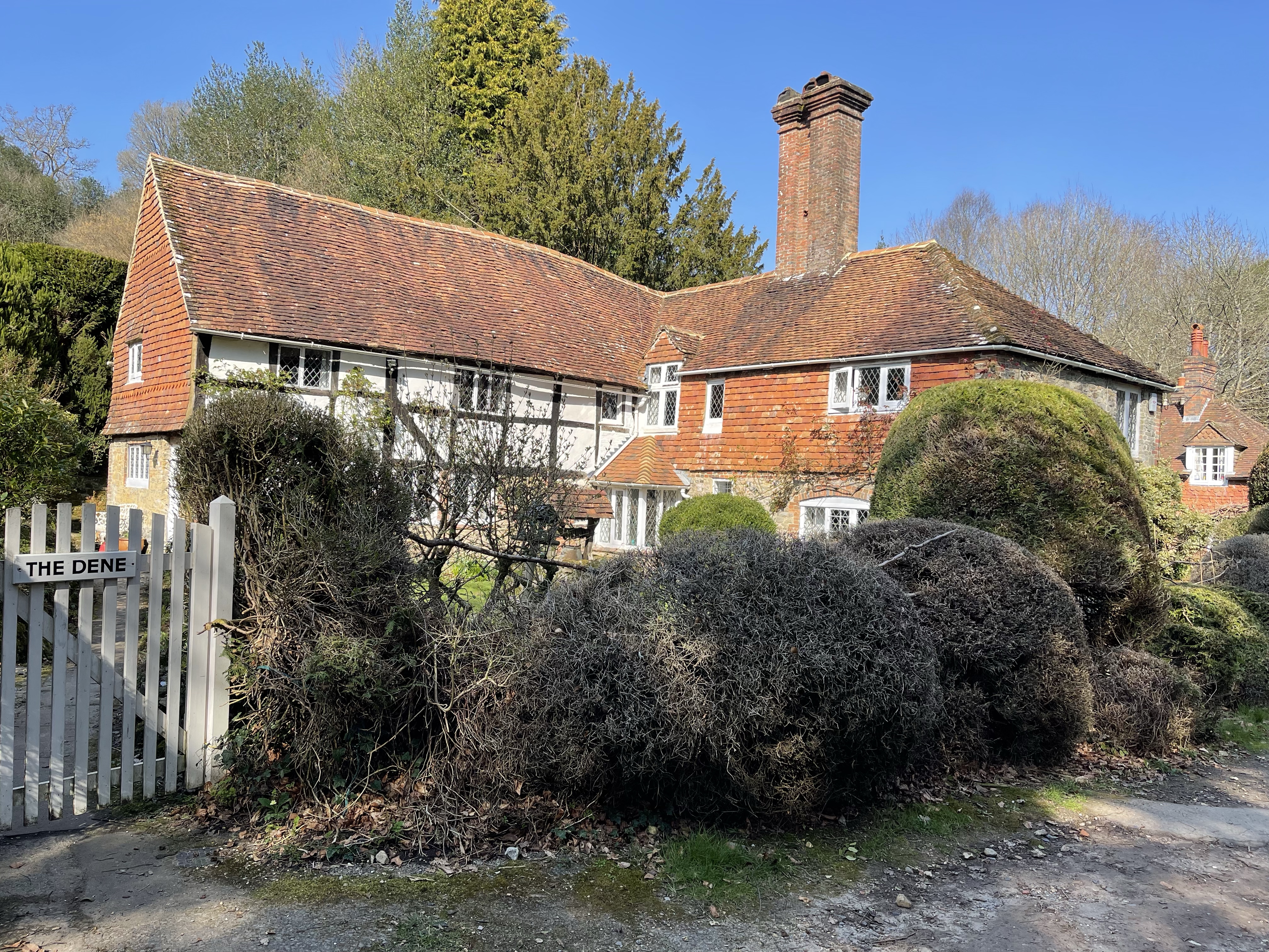
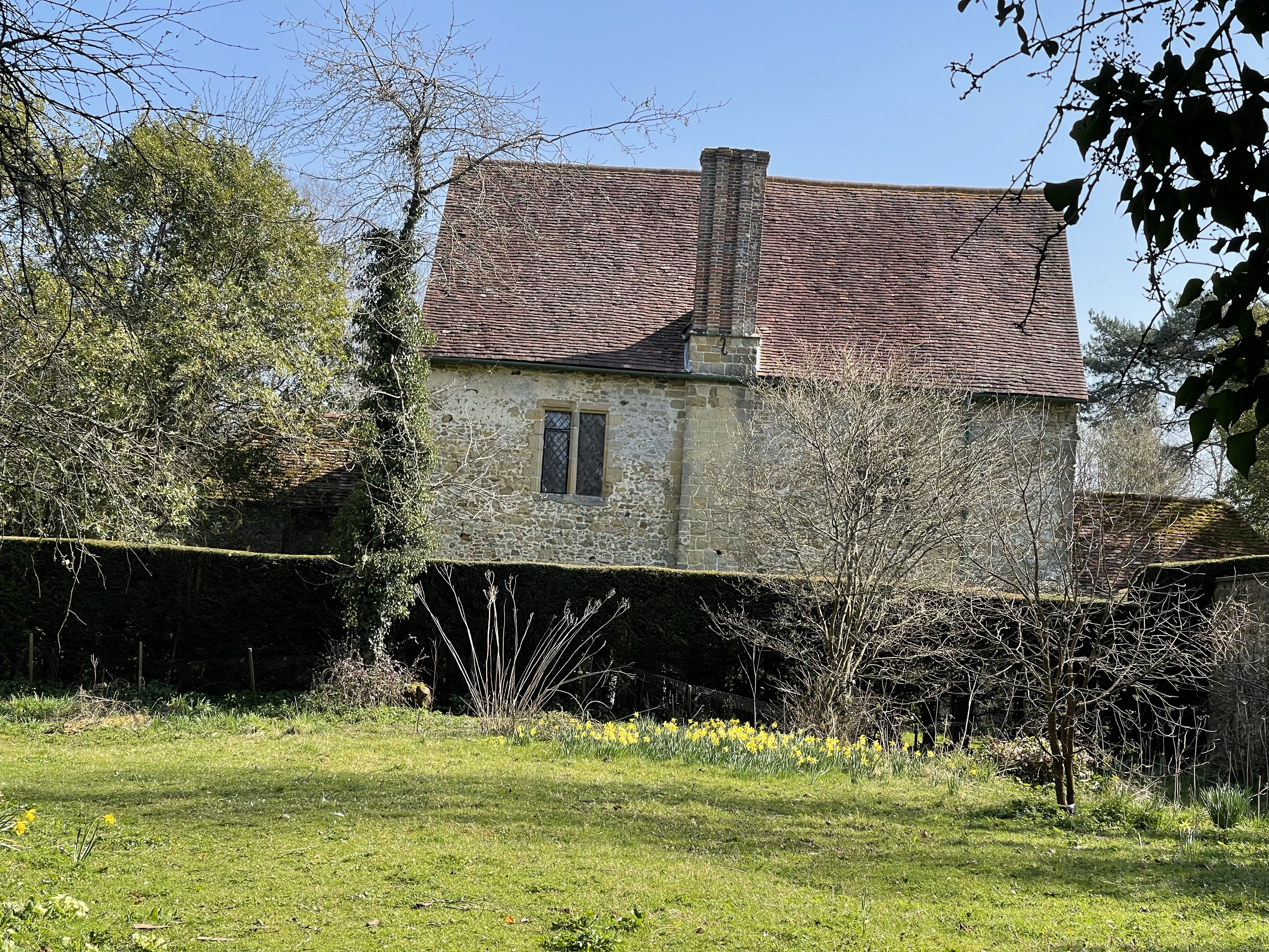
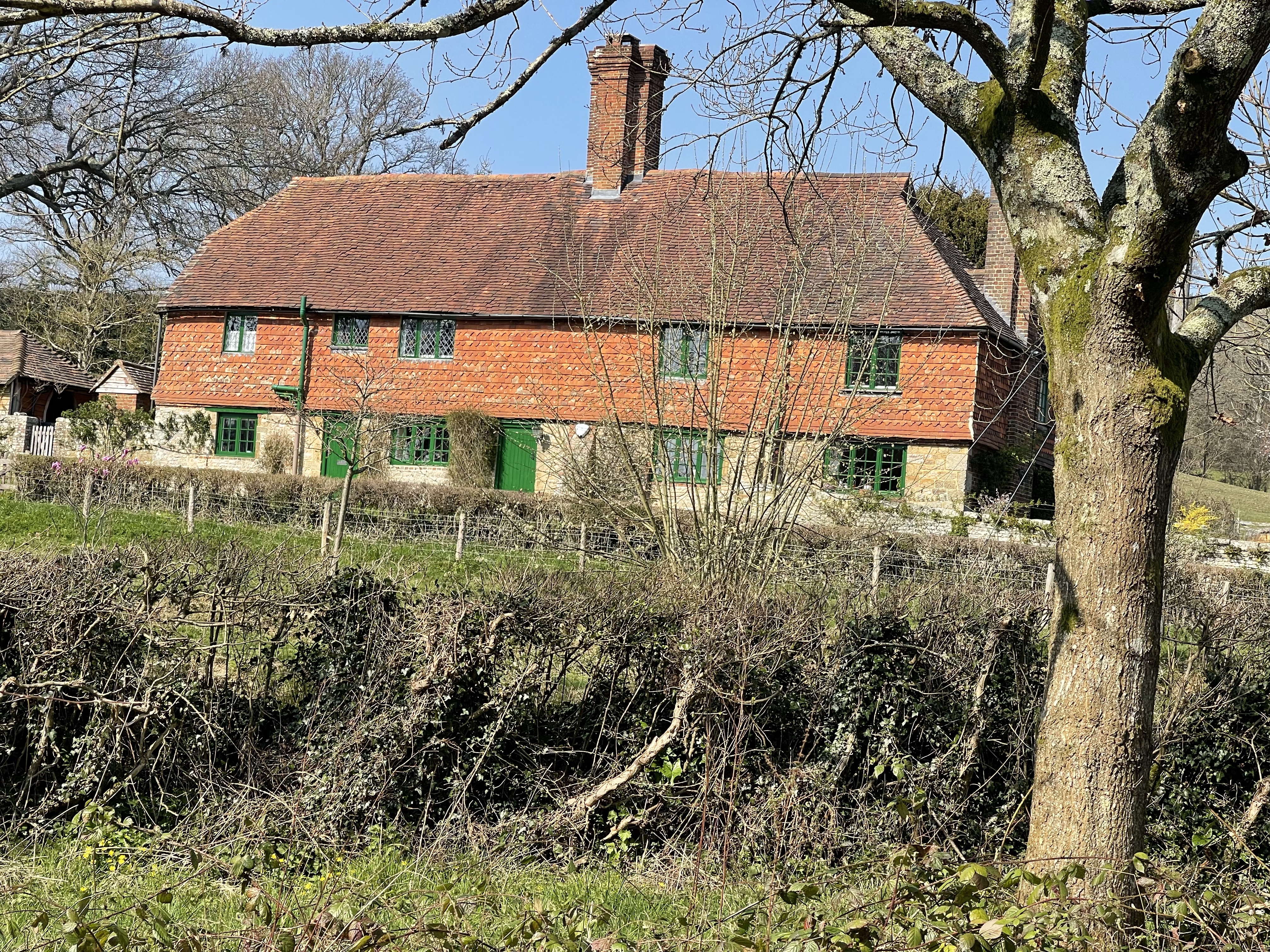
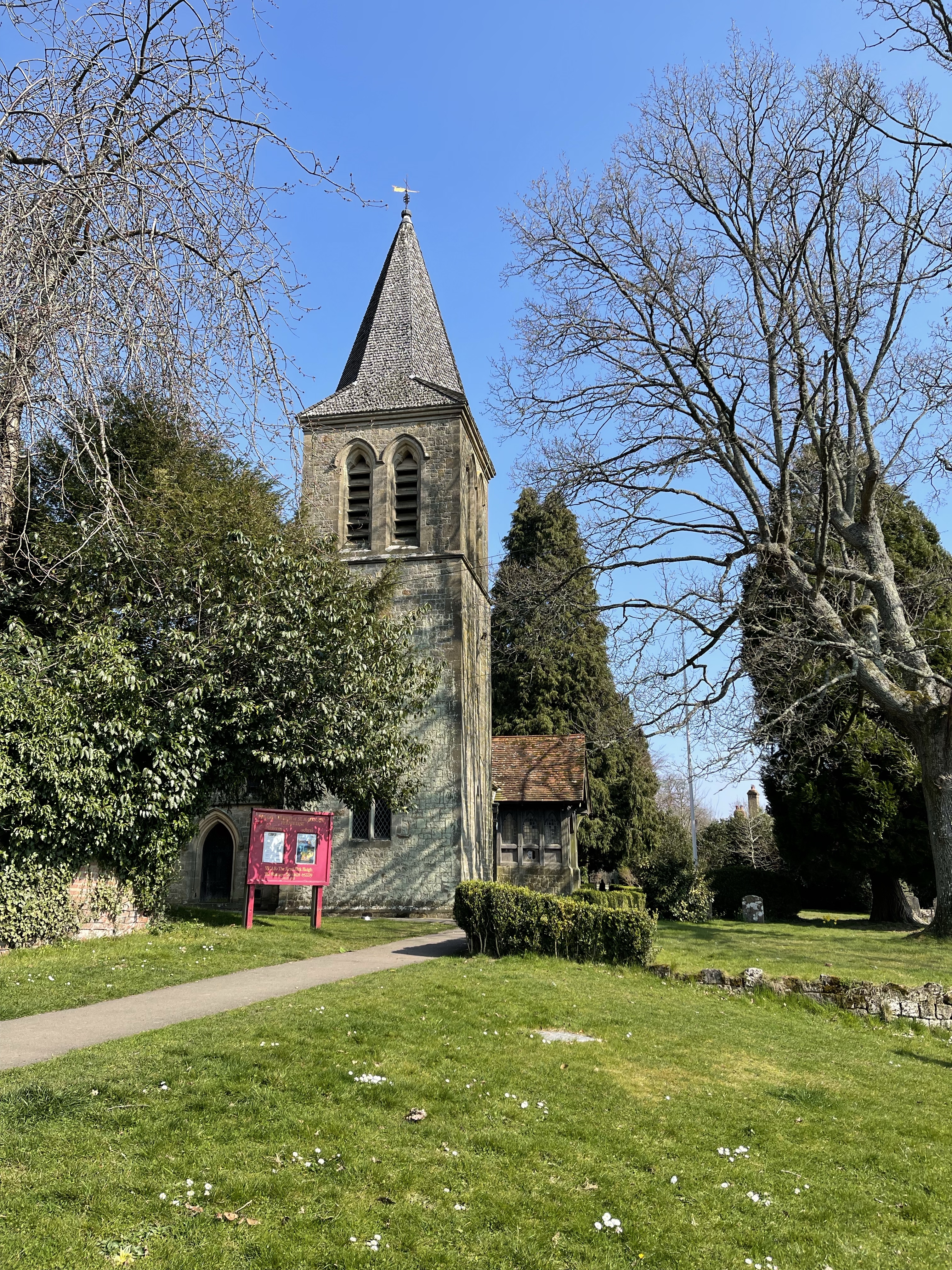
There is a towing path on the other side, this could be another good walk. The path has steps at the end of this section and turns away from the river to circumnavigate Coombe Park, cutting off a sweep of the Thames where presumably the land owner didn’t give permission. The route comes out onto the road at the northern end of Whitchurch, the last of the Oxfordshire locations and I recognise a pub where our football committee once held a meeting. There is a toll bridge here and several of the buildings use flint as their material – readily available. I need to cross the bridge which still collects tolls and then I’ll be on the south bank and will have moved into Berkshire and Pangbourne. I wondered if there were stories behind this cottage name?

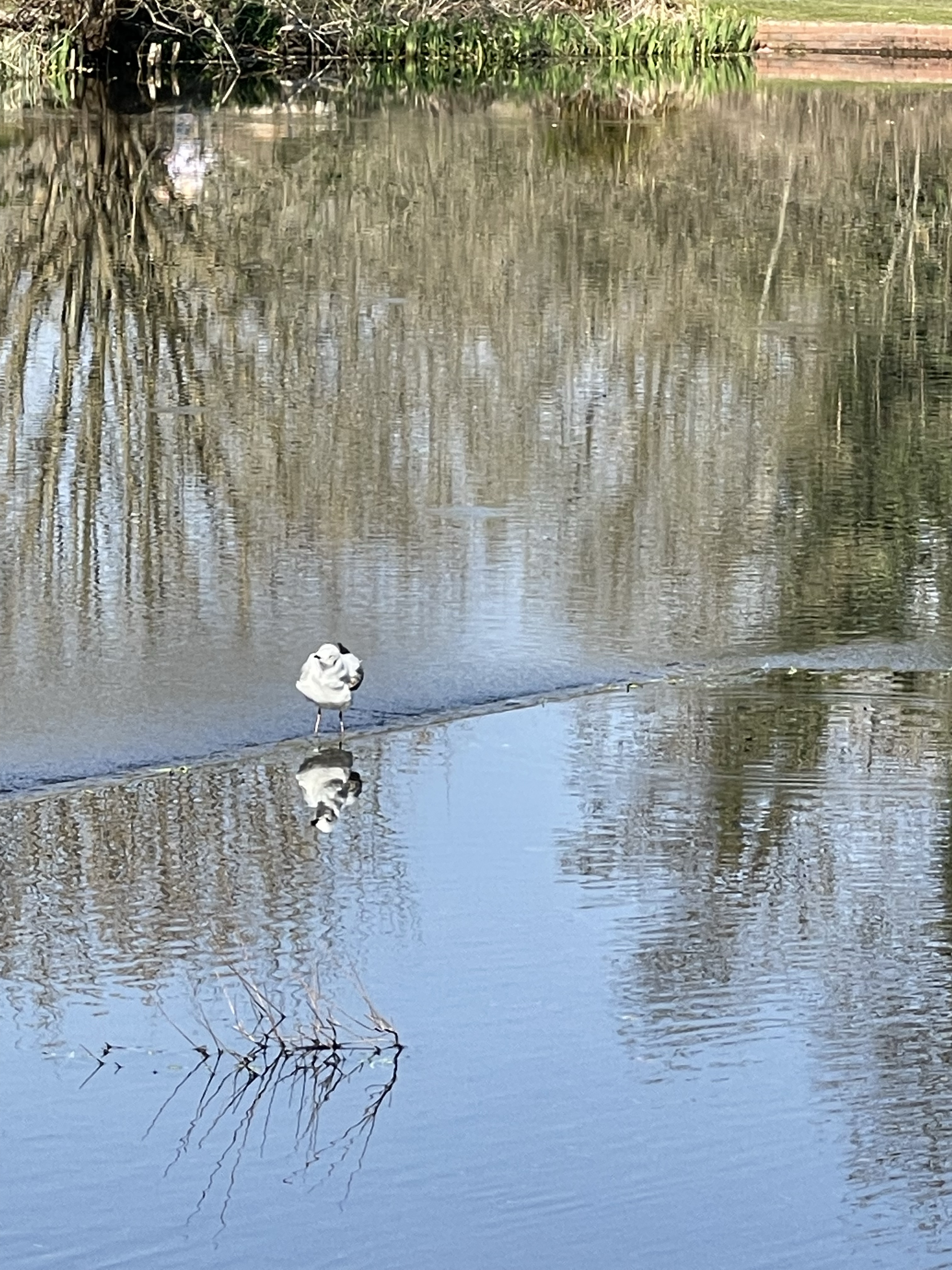
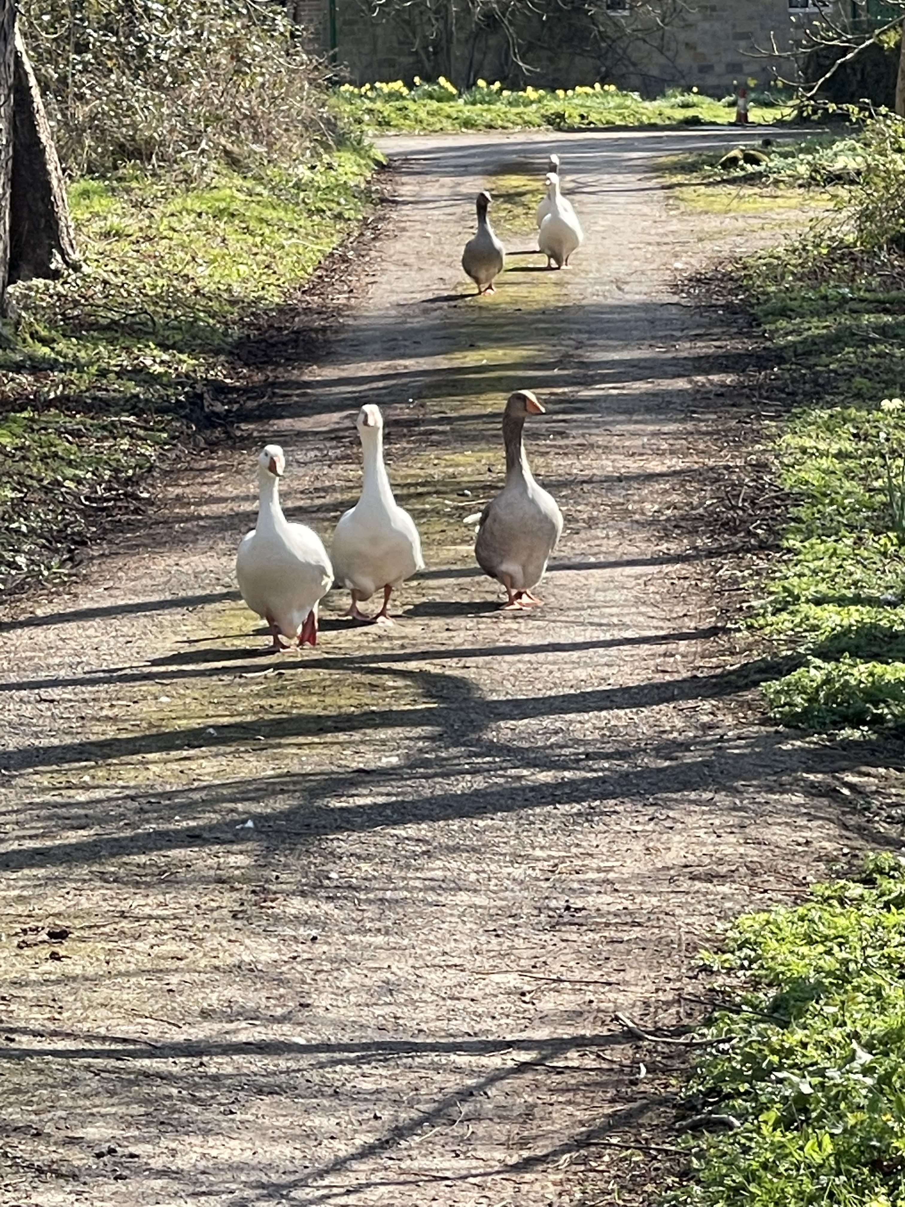
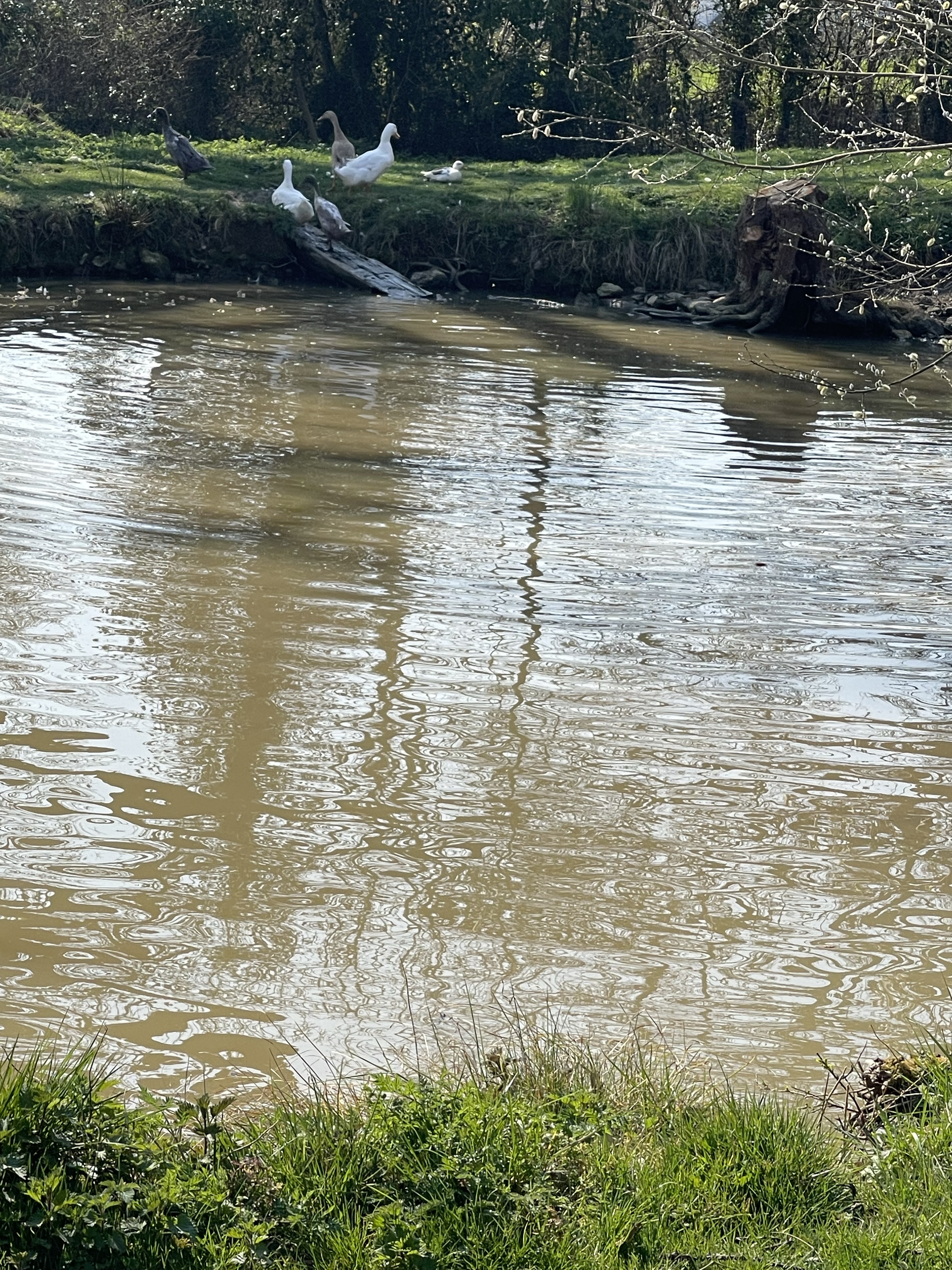
Quite a different feel to this section of the river, far more people out and about, mostly with dogs and this first section is designated as Pangbourne Park. After a while it does settle a little – some very loud geese around but nothing in the way of boats on the river even though it’s a very pleasant day. I have noticed a few other people who seem to be out with the purpose of following this path rather than just casual walkers.

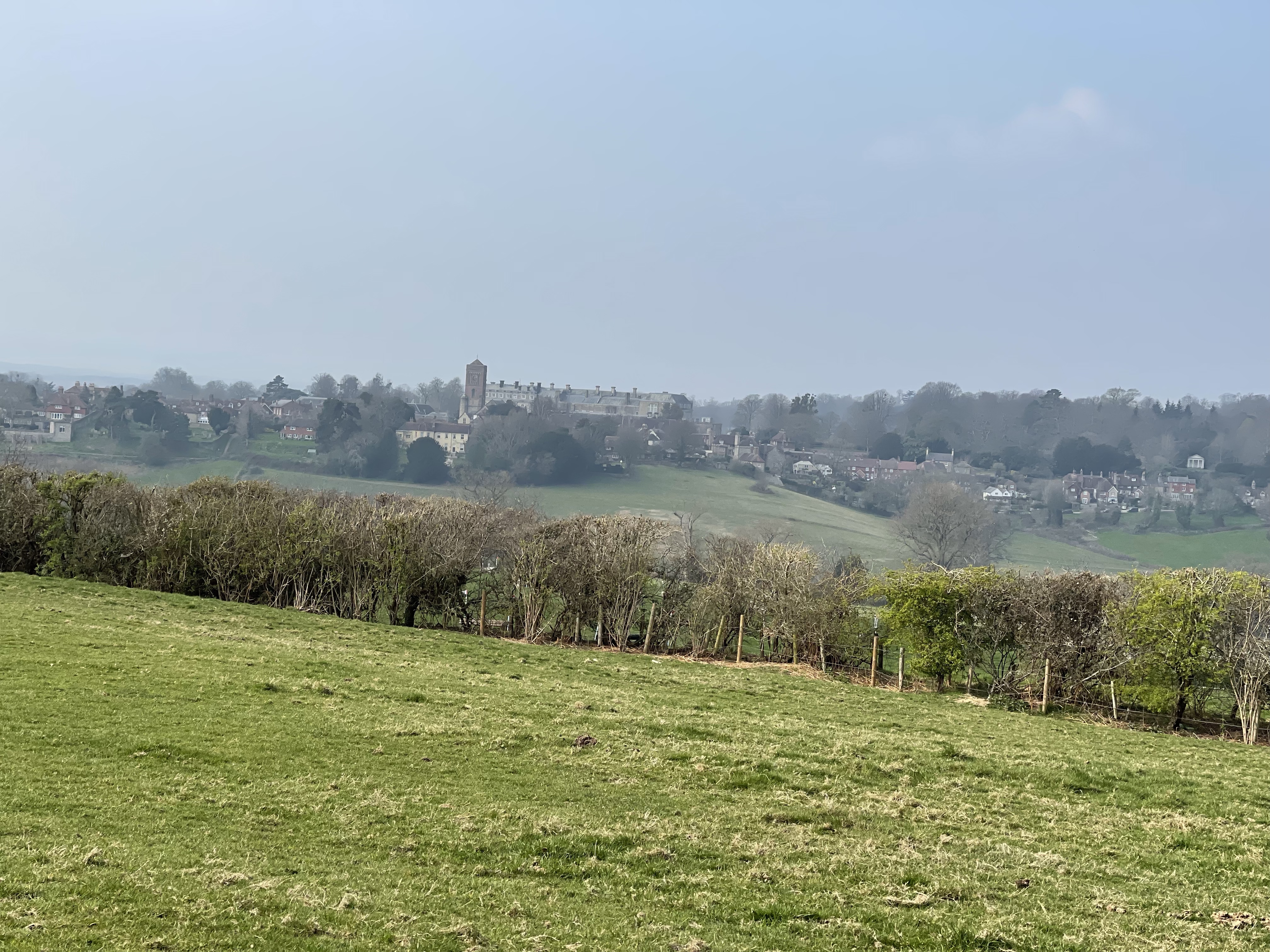
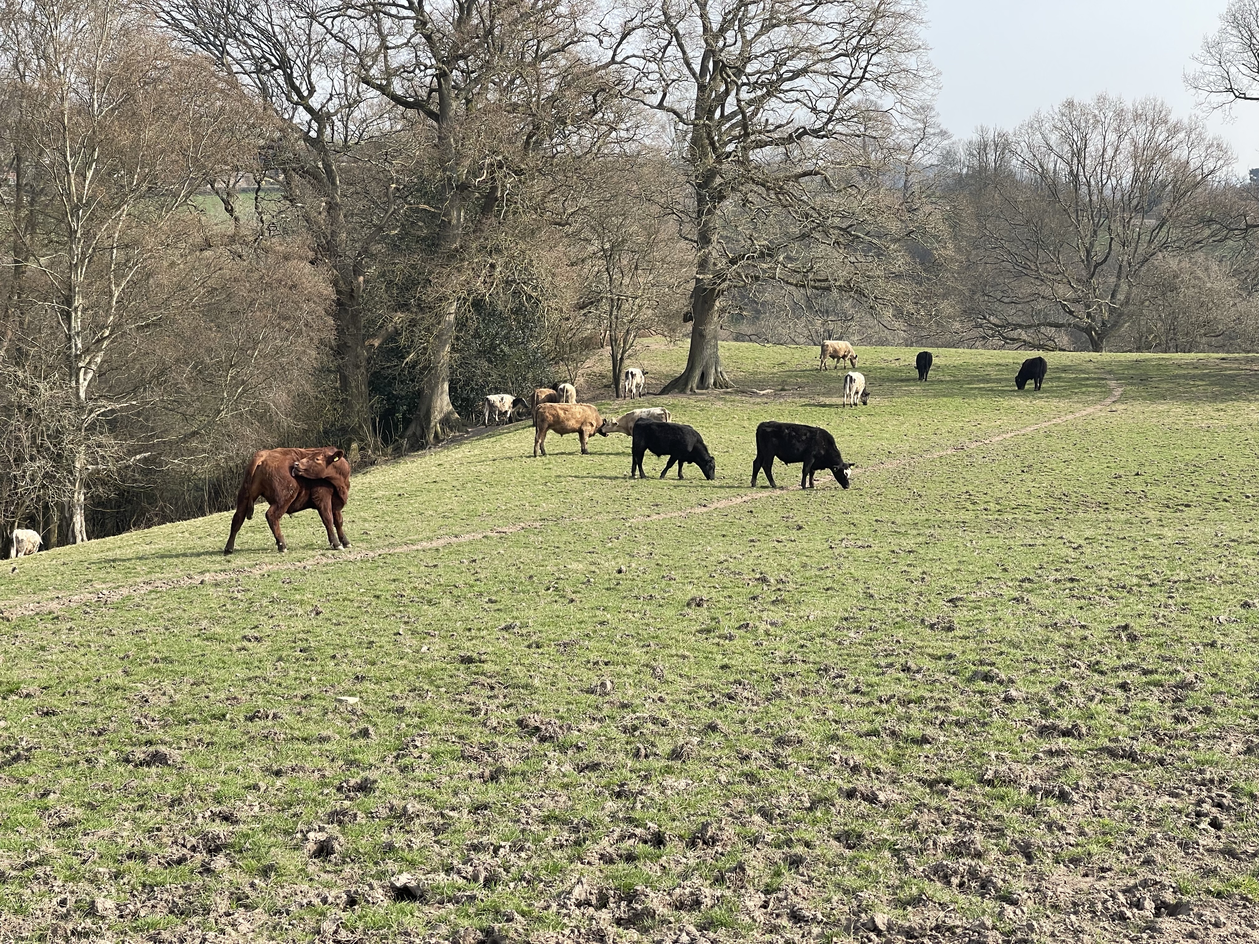
After a long sweep round I’m opposite somewhere more familiar- Mapledurhum which has a water mill beside the river- I visited several times, often accompanied! There’s a lock and weir at this point and although I stop for a lunch break with a field immediately behind me I’m aware of a much larger conurbation – Purley and the railway line which shares this river valley.

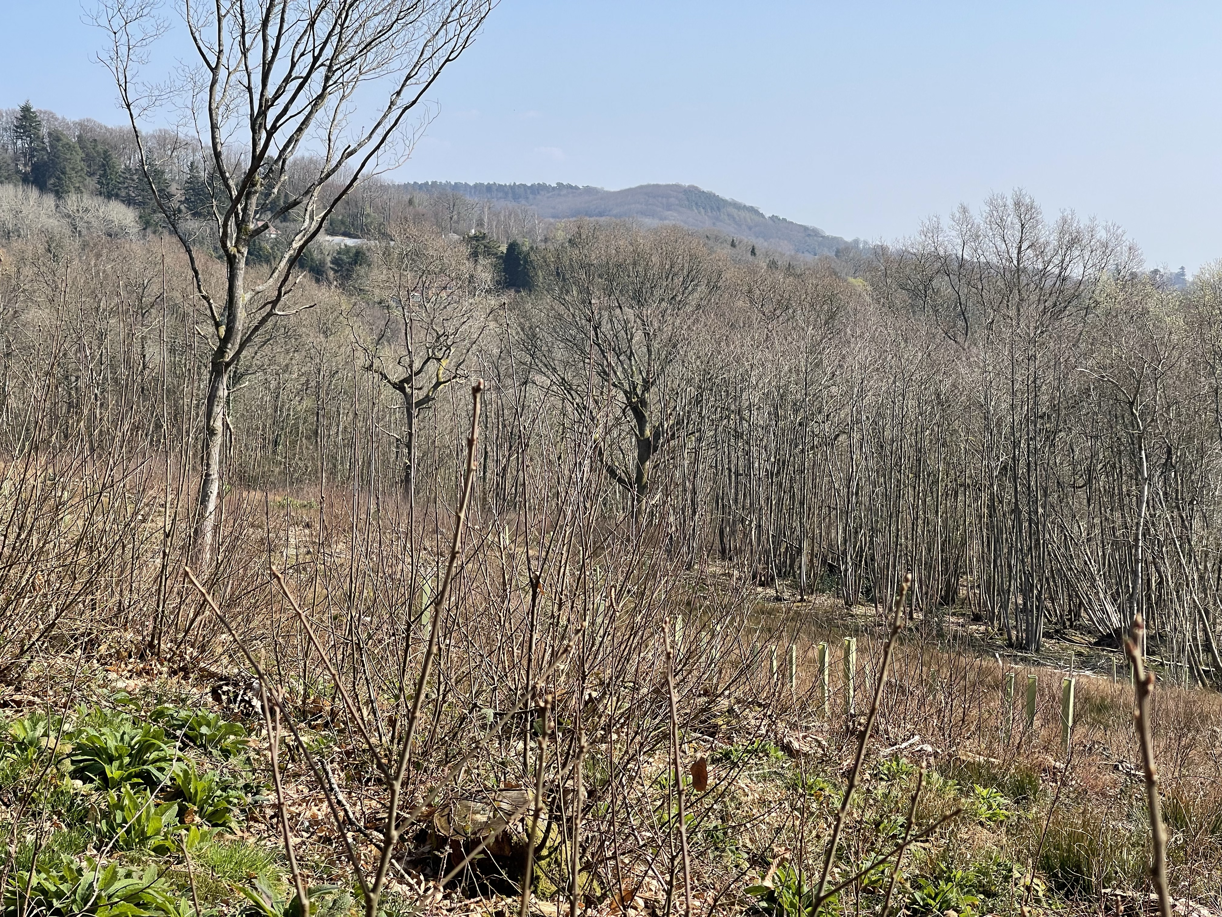
So the path once again diverts away from the river and comes to the edge of housing. A solid bridge curves over the railway and then the path diverts into a housing estate. I’m pleased that I can expand my map making it easier to see which roads to follow. I’m aware that the main road between Pangbourne and Reading is a few trees away and my path does join it after a kilometre. I know that I have to cross the railway line again as it runs for a section really close to the river with the path between. I’m pleased to see a large metal structure straddling the line, a couple of slightly interest young men on the bridge who hopefully are too busy to notice me. No where much to go – I always feel safer in completely remote rural settings – silly really. At last the river gains some rural tranquility again which is welcome before I reach my final destination.

The opposite bank begins to get built up – well large houses with long gardens down to the river – very adequate family homes rather than mansions! Many with boats moored or little inlets. There are also more swans in this area plus more noisy geese! I stop for a drink on a well situated wooden bench and was about to leave as another couple approached. They had parked their car at Reading and then caught the train to Oxford – this was Day 4 of their walk. We also discussed the South Downs Way – another challenge to explore. Forgot to start my watch again after the chat so cheated my records out of 0.5 km!

My last stop on the river was to be Caversham bridge before I would cut away from the river and find the train station. Just short of 19 km today and very enjoyable. I have a strong urge to try to complete the whole of the Thames Path and decided to look up how much I’ve actually done already!

Yet another 50! Walk 9 – 25/03/2022

Still in Sussex but starting today from Petworth where I grew up, well from 7 until I permanently moved to Oxfordshire at 21. I did a walk in Petworth park in my first 50 so time to revisit.

I park in the south of the town and enter a passageway which we used to call ‘back alley’, it divides at one point and I have memories of walking back to school after lunch with my dad who was a policeman and he would divert up to the police station when he was doing a 2-10 shift.

On through the town square and up Lombard Street which is still cobbled. Last shop on the left was my main Saturday job location – E. Streeter and daughter- a jewellers and antique shop. A very strict shop owner but she ( the daughter) gave me some wonderful opportunities.

At the end of the street is the church – Sunday School, Mary in the Nativity play, Guide thinking day, Remembrance Services, first wedding, sister’s wedding and more recently my dad’s funeral.

I turn right and cross the road into Barton’s Lane and quickly I am in the country and out of the town. Round the hills we used to call it! A place for making gardens on mole hills as a Brownie, following trails and putting up tents as a guide! Many good memories. My route today will take me down and then up to the woods with the Gog and Magog Lodge which was perhaps a route into Petworth House.

Over the stream where I remember finding King Cups and then upwards – a field of horses. Feeling apprehensive they are all munching happily so a safe passage! A good place to turn and view the town and the distinctive church tower which once had a spire. I wondered if the round clump of trees was natural or part of a planting regime when the park was landscaped.

As I enter the wood a familiar tunnelled path and round to the back of the lodges, now renovated. This is a great wood – Brinkshole Heath with many open access paths to explore and once again I’m following the Serpent’s Way.

This track comes out on Riverhill Lane and quickly crosses and into another wooded but quite different area. Not open access but definitely a managed area, there’s also a parking space before entering the working area of this wood. Unlike the previous wood where I heard woodpeckers it has now changed to chain saws. It’s a climb up hill and over the crest there is a huge tractor grabbing a cage of logs over some very rough ground – some skilled driving.

The path comes out onto a road at a really tight bend and the next path quickly leaves and then splits. I’m taking the left hand fork but the right hand one that dips doesn’t into the valley looks equally as exciting.

Many wild flowers and mosses along this next stretch. This is a really pleasant part of the walk.

As I come out of the wood and on to a road I am next to a steam which comes through a hole in a wall. I wonder if this is linked to a mill and as I go round a corner I see a sign on a garage ‘ Crowsole Mill’ and then a pond followed by a mill building and leet. This is the hamlet of Little Bignor a notably attractive group of houses.

The path takes an abrupt turn right and goes along the edge of fields before going through more woods before coming out at the dog friendly ‘ Well Diggers Arms’! A narrow tunnel like passage leads down to Byworth which has another good pub!

I come to a T junction in a valley – to the right it appears overgrown but my way is clear and a fast flowing stream runs along. A pleasant place to stop for a snack and in the still I see what was most probably a kingfisher scoop along between trees.

The path comes out onto the road and the track I’m looking for doubles back after only about 30 metres and is through a gate and driveway to a house. The path rises up and across a field – the farmer has started ploughing but luckily there’s an undisturbed section just to the right of where the path should be. Getting close to Petworth and this area was always called the Sheep Downs- inhabited today by cows!

The path comes out onto the main road – and quickly crosses for the last part of this walk. The view across is to Shimmings Hill and to the woods I’d climbed to at the beginning of my walk. This path has been newly refurbished as the retaining wall above had slipped into disrepair. The turnstiles at each end of this path is something that is so familiar on sight but that I had forgotten about.

I had remembered somewhere called the Virgin Mary Spring but I didn’t walk passed it on this route. I think it must have been on the section by the stream – if I’d turned right at the T junction. Perhaps another day. I finish by walking back up Barton Lane. There are some gates with a sign Old School House, this is an entrance that leads into an area which was my junior school playground. I decide to walk back to the car via East Street, Middle Street and Golden Square.

When I moved to Petworth from Crawley I was somewhat surprised to find that this building was the Girl’s junior school. Just two classes in contrast to the 500 pupils in my previous school – 4 classes in each year group. Where the arches are now we had outside toilets that used to freeze up in winter. The playground had a hole in the middle for the maypole.

This was an ordinary state school, the Infants had a separate building which my sister started at. The boys were housed in a large house as their school had been bombed during the Second World War when a returning aircraft had shed its load and wiped out many local boys – a very sad day for the town. Our headteacher presided over all three buildings – including putting salt in our toilets in the winter to melt the ice! For the last term before I went to secondary school we all moved into a new co educational Primary School.

The walk today was 12.5 km, nearly 8 miles. Great to walk an unknown route in a familiar place.

Yet another 50! Walk 8 – 24/ 03/2022

Back to the Surrey / Sussex border for this walk and yet another day of sunshine. I wanted quite a long walk with a bit of a climb – thank you to Sam for collaborating on a route for me and also for imparting some extra local knowledge. Great to be able to walk straight from my hotel again – straight up hill! Some of the houses in this road have very sloping gardens but good views.

As the path leads into fields there is Heras fencing to my right and a huge building site – not sure how many houses are going into this space but they will be quite a long way from the shops and the railway line will need to be crossed. A pity to invade open spaces but I guess there’s a need.

The path comes out on the road towards Fernhurst and my route crosses into Camelsdale. Next time I drive along here I must look out for my crossing point. My way takes me passed the school and I enjoy the sound of an outdoor PE lesson. Next time I have a Midhurst School Reunion I must remember to tell Jean I’ve seen where she went to Primary School. I walk through the village and come to a delightful pond and see the sign for Shottermill.

There’s a garage on the corner where I could buy sandwiches but I decided to wait until my next option. Quite soon the path seems familiar and I realise that I came this way last time but via a different route. I do rather like this house with its hung tiles, a typical design for this part of the county.

Today I’m not going as far as the Sussex Border Path but turn off into a wooded area and follow part of the Serpent Trail – I’ve done many sections of this, perhaps one day I’ll task myself with following it properly.

I’m looking out for Jays, I hear lots of bird song and possibly one Jay calling and flying in the distance but no close sightings or dropped feathers on the ground. I remember finding one of these exquisite turquoise feathers as a child and keeping it for a long time. I do hear my first woodpecker of the day.

My path comes to the road at a corner in Linchmere but quickly diverts off again and back into the woods. A well manicured section takes me round the back of an estate ( not the housing type) before I enter a wonderful sunken path. The area is called Linchmere Marsh and I soon encounter my first example of the day. A quick backtrack to use a drive way enable me to join the road again, wild flowers are in abundance today, primroses are everywhere.

I reach a farm alongside the road which has a wonderful example of a stilted grain store. This is an important area with several ancient pond bays marked on the maps and Shulbrede Priory which looks as if it was possibly moated and at one time the area would have belonged to Augustinian Monks. There is certainly a pond next to the road and I can see the building, I have previously seen signs from further down the road. As I look up the drive I can hear geese acting as guards! I took several photos but particularly liked this one as they came down the drive towards me- would they have come all the way?

The track skirts around to sides of the land of this Priory, next to a stream at first. I wonder if the ponds were for fish for food or part of a system which included a mill. I climb up and my path will traverse Greenhill Wood, rising even more steeply to my left. Lots of hazel and some silver birch as well as beech trees. One area seems to have been particularly devastated by the last major storm with trunks lying in many directions. This particular area must have been at just the wrong angle! I continue along and come across an boundary ditch and row of ancient beech trees with magnificent roots holding on to the ground and looking at the map see that this marks a county boundary between Sussex and Surrey, so for a short while I’m back in the later but not for long.

A bit further and I can look out to see Blackdown in the distance – hopefully it won’t take too long to get there! I soon recognise a bit of the wood I walked in in November and come out by Van Common. A bit of a walk along this minor road as I head steeply down hill and pass another splendid ‘Sussex House’ complete with duck pond and palatial duck house.

The road takes me through to the village of Fernhurst – again I remember fellow students from school and I come to the small row of shops/ take aways. I’ve been recommended the ‘Community Hub’ – the sandwich I order is fetched from the coffee shop across the road- they hadn’t been ready earlier – freshly made – a very good recommendation. I decided to eat one sitting at a brightly coloured table outside. There was a big climb to come soon so better keep energy levels up!

Crossing the main road to Midhurst I then went through a part of the village I had never visited and have to say I was quite enchanted. This took me out onto the village green which is split from the recreation ground by the road to Lickfold which I use most times when going through to Petworth. It looked so different and I realised I’d failed to fully appreciate this area before.

A discreet path next to the Red Lion sets me off on the second part of my walk. Through Reeth Wood and up towards Ferndean Lane. Again criss crossed with streams, some of them making deep cuts into the ground- luckily there is a bridge across. More evidence of spring!

Having climbed up through the woods I come to the lane and can see a wall which must surround Blackdown House – I walk along a bit and luckily a large tree stump affords me the opportunity to see over! I can’t see the house but I can see what looks like a vineyard! Wasn’t expecting that. When I was at school a plane crashed near here just missing the house, I can remember the morbid curiosity of some of the boys from school who lived in Fernhurst going out to see what they could find! I back track and start my climb up to the top of Blackdown.

Reaching the Temple of the Winds was less taxing than I had anticipated and I was afforded some splendid views out of the area and towards The South Downs. One of those maps which shows what you are looking at and how far with pointers helped me to locate Duncton Hill – the view across the fields from my garden as I was growing up. Perhaps that’s why I feel so comfortable with the Ridgeway being predominant in the area which is now home.

There are many routes I could have taken across Blackdown and I actually didn’t stay on the top for very long – lots more to explore another time. My chosen path cut along the west side of the hill, slowly making its way northward back towards Haslemere. Some wonderful sandy, heath stretches and still amazing bird song and the brilliant yellow of new gorse bursting into flower. I did go a bit wrong but managed to get myself back on track. Having left the top on Serpents Way again I also crossed the Sussex Border Path . I ate my other sandwich rather late but enjoyed sitting in the sunshine looking out until I realised several ants also liked this spot, so curtailed my stop a little!

As I was climbing down a small path I spotted my second Roe Deer of the day, a large female I would guess, it’s white rump making it clearly visible – they have such grace leaping over branches and bounding back out of sight. The first sighting of the day had been in the woods before Fernhurst – no photos unfortunately. I come down to Black Dog Copse and the springs marked on the map have produced a pond. I’m now about to follow paths that lead along the back of large houses and ultimately come out on to Tennyson’s Lane and over Haste Hill to the B2131 back into Haslemere.

Another brilliant days walking in this area and another 19.5 km/ 12 miles. A year ago 1 mile would have been a struggle – thank you NHS for enabling me to do what I so enjoy, again.

Yet another 50! Walk 7 – 19/ 03/2022

A late plan to be involved with a walk from Bampton today, with SPR and then an opportunity to lead the group. Slightly oddly Steve decided to come along as he wanted to get to know a new group member. Quite a few today – Anna, Mirella, Araminta, Richard – who I’d met before and also Castel and Elvira. So with Steve and myself a full bus load. An early start as we arrived in the centre of Bampton at 8.30.

To start we are on the main road, over our first stretch of water and then turn on to a footpath which crosses fields and is working its way towards the River Thames. This is a flat valley area with many water courses. Some flooding including a large area now being taken advantage of by ducks and geese. We meet the Thames at old Man’s Bridge and stop for clothing adjustments and comfort breaks.

The Thames is much nearer its source at this point and although still quite wide it is a series of little bends and meanders and is quite different in nature than nearer to Oxford. We continue along this path which sometimes follows closely to the river and then short cuts a particular bend! At Rushey Lock and weir we have a more definite stop for coffee, snacks and for some a sit down.

We cross over the road to Bampton at Tadpole Bridge and continue along the Thames. The pub does look very appealing but it is still relatively early. There are a few muddy patches in this next stretch and we get a little caught out by not sticking to the river bank and trying to cut out a wriggle or two!

We are soon at ‘Tenfoot Bridge’, apparently named after the size of the gap between the two uprights to allow for boats to pass through. It looks exactly the same as the previous bridge, which should make logical sense!

A stop for lunch in the sunshine, some sitting on the bridge and others various sections of bank. Wide open spaces. There are reed beds near here and very few features. Some good conversations to be had and part of the role as leader to make sure that everyone is spoken to and conversed with.

There is a strange section ahead of us as we pass a weir. A straight cut has been made and the natural route of the river is a big loop round. Half way along this section are some steps up on to a track, alternatively we could go along to the lock, cross the river and double back on the other side to cross a bridge to the top of the steps. Having been given the route which includes this … I choose to let common sense prevail and we just go up the steps!!

A bit of track and very minor road walking as we leave the river and through the tiny hamlet of Chimney – very strange name! Our path turns a right angle at Chimney going due north, then almost directly west and then north,north west! I’d love to know the logic behind this route building!

We stop for a drink at a lay-by by a bridge over ‘Great Brook’ – a wide channel which looks somewhat man made. We need to walk along here and then down to Tadpole Bridge. Unbeknown to me Steve has contacted Jane our driver and she appears as we are half way along this road as she can’t park at the pub. So our walk finishes rather abruptly!!

I will admit to feeling a little annoyed at his interference and his plan to deviate from the original route which should have taken us to the villages of Cote and Aston. If I ever led this walk again this would be a much more preferable finish than a full long stretch of road and being hijacked before a natural completion of the day – no chance to hand out my ginger biscuits!

Yet another 50! Walk 6 – 18/03/2022

A walk starting near Streatley today with ‘two’ companions – a long time friend and wonderful spring sunshine. The parking place was a mile or two along the Ridgeway from Streatley- somewhere I had spotted in January. There are several routes I’d like to take from this spot – today’s route was devised to incorporate a section of the Ridgeway, some undulating countryside and a section of the Thames Path with the possibility of a pub lunch near the end of the walk.

A very noisy field of sheep by the parking spot and a signpost pointing out that Ivinghoe Beacon was 44 miles – I’m not sure that was very encouraging in January! A few kilometres along this well used track before needing to take a path off which doubles back to begin with and a gate that welcomes walkers but not cyclists or horses!

Firstly through a wood and then a track beside a valley which was so warm and sunny.

A great coffee stop looking over to Cow Common and then further along this spur before the area opened out with the escarpment of Moulsford Downs on our left.

The track crosses the road as we head towards Moulsford and then across the Wallingford to Streatley road and down into the village and to the Beetle and Wedge pub and the river. The Magnolia tree on the side of the pub was looking significant. The path to the river skirted round the back of the restaurant.

Some lavish houses back on to the river as we start this stretch and a little help is needed with the path at first before the route settles a bit. Interesting to see from the other side having walked the Ridgeway path on the other side of the river, back in January.

Beginning to feel hungry as we approach Streatley. Some interesting hedging just before we reach the Swan Inn which looks very busy. Our sights are set on The Bull.

Sadly no food ! So roasted peanuts had to be the accompaniment to Guinness and Bitter! Now for the four kilometres back up the Ridgeway to the car.

A wonderful sunny 13.9 kilometres today.

Yet another 50! Walk 5 – 17/03/2022

It seemed a long time since I last went for a walk – a week of zoom meetings!

So having done some walks in preparation the time had come for me to lead the Wantage walk that I had devised for SPR. Originally 4 people had booked but sadly on the day two had had to drop out. So my participants were Anna with whom I had completed the long distance paths and David who I had not met before.

I arranged to meet at Waitrose car park, I’d walked and the other two had come in the van from Millets. We set off on our walk at about 8.30 – still quite chilly. Our first stop was the statue of King Alfred in the middle of the square, reputed to have been born a few hundred metres from where we were standing.

Next passed the church and through Betjeman Park where we were able to see various quotes from the once Poet Laureate. Then down the path that goes alongside the grounds where he once lived, ‘The Mead’.

Further along we could hear the water rushing under the Mill House at the bottom of Locks Lane and the ford that would once have been used for vehicles going up to the Priory at the top of the slight incline. We walked passed this area now converted to homes and around the back of King Alfred’s School. Once visited more frequently for plays, parent teacher meetings and a few interesting interviews with senior staff!

We are now going to head across to our first spring line village – Letcombe Regis.

The name may come from the Old English Ledecumbe meaning the “lede in the combe” – i.e.”the brook in the valley.” “Regis” may derive from the Latin ‘rex’ meaning ‘Royal’ with ‘Regis’ meaning The King’s, giving, perhaps, “The Kings brook in the valley.”

The twin village is Letcombe Basset – the village being at one time in the manor of Richard Bassett. Best known more recently for links with Thomas Hardy.

Passing through the start of the village we walk alongside the church and come out on the road to Bassett – after a short distance we cut up to our left and over Letcombe Brook. Our path initially runs quite close to this meandering stretch of water and it is beautiful to see. We take advantage of the permitted path which runs next to a hedge and we come out on the alternative track from Letcombe Regis.

We traverse along this towards the Ridgeway. First a pleasant field which often seems to have sunshine and then through a copse before we get to a steep decline followed by an even steeper incline. Slightly bizarrely there was a white cat in a wooded area alongside this field.

Next across a wide open field and on to the ancient path that is the Ridgeway. A certain amount of artistry in the designing of this stile.

We decided to divert on to Segsbury Camp – an Iron Age hill fort used between 600 and 200 BC. There has also been evidence found that Anglo Saxons used the area- not improbable as Alfred was fighting the Vikings along this stretch and winning. Ultimately he became the Anglo Saxon King rather than just for the West Saxons (Wessex).

Our route took us along the Ridgeway until we reached the monument – where we lunched. The next decision re the route was discussed by the group. More Ridgeway and down by Betterton, straight down to Lockinge or doubling back and then alongside the gallops, Goddard’s Barn and brook until we reached West Lockinge and the stables of Henrietta Knight. The last option was the one chosen and we experienced a varied walk along and then down with an very full brook, amazing willow trees and skylarks.

Round passed Best Mate which was only fitting as it was Cheltenham Gold Cup Day! Then through the church yard with the banks behind transformed from the white carpet of snowdrops to a bed of yellow daffodils. The fishing lake comes into view and we climb up above it and follow the track round towards Ardington.

Heading towards Ardington Church we were able to see the base of the tree that had fallen and blocked my path after the last storm – also evidence of smashed fences- all now neatly cleared. Anna was able to reminisce as we passed Ardington House where her daughter had her wedding reception. Evidence of spring everywhere.

The group declined a chance to stop at the shop/ cafe and we doubled back and under the arch to come out on the curved road which turns towards the pub and the church. One last part of the walk as we head uphill towards the Millenium Stones and we try to work out how they work! Each is actually a pair of stones with a gap between for sunshine to emerge through.

So back along ‘no conker Alley’ and the lane towards Larkhill. As we are about to emerge the van pulls up. Excellent timing! Good company and a route that was just short of 14 miles / 22.38 km

Yet another 50! Walk 4 – 12/03/2022

A completely different walk today based in London. A morning spent at the Mary Ward Conference Centre in Bloomsbury for a British Council conference. Pleased to be met by Alex, my younger son who lives in London. He’s route finding and we plan to get to Campden Lock and market. Slight initial hiccup as we set off in completely the wrong direction ! I had decided not to use my OS route tracker but did record the walk on my watch as soon as we started walking in the right direction. The green pin was where I had spent the morning.

The Bloomsbury area is quite interesting with all the University Buildings. There are always interesting sites to see even along ordinary streets.

The area around Campden locks was heaving with people, more than I had seen for a long time – signs of a pandemic only visible in the occasional mask wearer. Many of the shop units are in classic arches which I’ve always loved. The map does show that we explored the area quite thoroughly!

Out along Regents Canal and much less busy. We diverted up to the park under Primrose Hill and then climbed up to the top. Amazing views!

Down into Primrose Hill Main Street to find some tea and share some brownie before going back to the park to drink it. Across the bottom of the hill and over the canal again and into Regent’s Park, initially round the back of the zoo- we did see one rhino. The park is rather beautiful and has some well laid out flower beds which were looking quite vibrant even this early in the season. Not long out of the park and I noticed this magnificent crescent.

The map stops when we called into a pub for a quick drink and a catch up on the rugby – England v Ireland in the six nations. We did walk for about another 15 minutes to a Lebanese restaurant. I can always guarantee to cover a good mileage in London with Alex! My recorded walk today was 11.25 kilometres but it was probably nearer 13 from when we met. Good to be out and about somewhere different.

Yet another 50! Walk 3 – 11/03/2022

Having felt slightly annoyed at not being able to go to Wales today, as the day progressed I felt grateful, as the rain continued to pour. Just before 4.30pm the weather cleared. No time to drive, so it had to be a walk from the house!

So along ‘no more conkers’ way – and round passed the Parkinson.me garden and on towards Ardington. I needed quite a fast pace to be able to do a substantial distance before it got dark! The light was amazing as I approached the village.

There was even a rainbow but no photo. Through, passed the shop and bearing right and on the track towards West Hendred Church. I needed to find something slightly different in this route and so I turned right as I came out into the village. About 500 metres along the road there was a path of to the right which headed towards Ginge Brook. The path went through an area which looked as if it may once have been used as allotments. The path was above the brook and came out the far side of the new cycle track which leads to the Harwell Site. The path went down some wooden steps which have been newly built.

Whilst the bridge is very smart the path straight on, which I need to take has a rather steep muddy start which does then even out. The light is beginning to fade but this creates some great skyscapes!

The path changes to a metalled road and curves round on the hill above Lockinge Church and over the small fishing lake and passed the gates to the church area. Part of the fence above the stone wall around the fields has been broken down so much easier to take photos! One of these sheep seemed to be asking for a photo!

Not far from home and a familiar route – perhaps the greatest success was no rain, especially as it started again within about 30 minutes of my return.

Today’s walk was quite short – 8.7 kilometres but it felt really good to have achieved it.

Yet another 50! Walk 2 – 09/03/2022

The week is not as planned. During my walk on Monday I got a message to say that my two walks in Wales on Tuesday and Friday had been cancelled due to a Covid issue. So some replanning was needed.

A real mix of locality today and starting at Clifton Hampden, parking in the village hall car park. Quite a pertinent place to park considering my first destination point. Over 50 years ago I would have travelled passed this point between my hall of residence and college. The path cut up through the village and some houses which wouldn’t normally be seen from the road. Some very desirable residencies!

A great path next to fields and then the side of an extensive wooded area. A right angled turn by Keeper’s Cottage- much refurbished. Another extreme turn by New Cottage. On the right is a really round copse and this could well have been part of Nuneham Park. I feel quite excited about this part of the walk as I’m about to go across the top of the drive to Nunehan House. Significant, as it was where I lived for the first two years of my college course. Once upon a time it could be seen from the river but it was not visible when I did walk 50. I had been back once during a college reunion – but still excited.

Both of my rooms were in South Wing – the one on the left. The first year a large room looking towards the river, shared with three others and once used by Queen Victoria. The next was on a mezzanine floor with our bathroom the one used by Lily Langtry who at one time was the mistress of Edward VII, when he was the Prince Of Wales. The male members of our student group lived in the central block and North Wing. The former having a wonderful staircase which spiralled down- great when you are wearing a long ball gown – it had to be done! Maths lectures used to be in the rooms by the cars – this is now a global retreat centre.

A splendid entrance to a wonderful building. The drive leads back up towards the village of Nuneham Courenay. This was moved when the house was built as it was inconvenient in the parkland! Although we had our own bar this was our route to the pub in the village – so not the first time I’d been along this route! Wonderful signs of spring along this way. Had forgotten about the church near the end of the drive. The path diverted away from the road and went across some fields to come out at the back of the pub- can’t remember using that either! Out onto the main road and the replacement village built on either side. A difficult road to cross.

As I pass behind some houses before heading off to Marsh Baldon I can hear a peacock or Guinea fowl and I’m reminded of the later who lived at the big house – usually under my window.

The next village is quite unusual and has a very large green with a stream through the middle.

This is where I did my first teaching practice. A two class school, for four weeks in the November after starting college. Perhaps the best part was being picked up and driven the short distance each day in a red MG Midget! One of my strangest experiences was teaching the ‘Infants’ about decimal coins which were to be introduced the following February!

Exiting the village the route next took me along the course of a Roman Road. An enclosed track and then a raised path across fields, heading towards Berinsfield. Quite windy with wide views.

I did wonder what Roman Soldiers would have made of this route as they headed towards Dorchester. Berinsfield was built in the late 60’s as a new town – built for people moving from Reading and Oxford when slum clearance happened. When we received placements as young students it was one of the places you didn’t want to be given! On the approach Wittenham Clumps can be seen and to my left at one point the light was amazing.

Strange walking through a housing estate, with a large play area in the middle. As I crossed the first road I remembered the last time I was here with a team from school for an indoor football tournament organised by Oxford United.

Crossing the playing fields I remembered a Girl’s football tournament- some quite difficult parental contributions from some of the observers! I also spot the school backing on to this area and remember visiting for trainings on several occasions. Another contrast as I cross a road and I’m out of the housing and next to a lake – gravel pit. This is used a lot for sailing, water skiing and wild swimming. The path goes on two sides of the water, following the main road after a while.

Luckily there is a bridge over this busy wide road and on crossing it I’m soon down in Dorchester. A real contrast as this is a Roman Town and has an Abbey dedicated to St Birinus who introduced Christianity in the area.

The carriage outside the pub illustrates it’s previous status of a coaching inn. My path goes down Rotten Row – they don’t look too rotten to me! The path takes me through and then out of the town and heads towards the Dyke Hills – earthworks, before reaching the River Thames. The clumps can now be seen very clearly at this point with the river hidden.

Over Day’s Lock which has no traffic today and then the weir which has quite a volume of fast churning water. The last section of my route is along the Thames Path and back to Clifton Hampden. This is a very long curve with nothing but fields on my side and after half way the gardens of some very large houses at Burcot on the far bank.

No swans today! The land to my left is farmed and managed by The Earth Trust based in Little Wittenham. There are some great information posts about flowers, fish and plant life. They have even started to create some wetland areas – and still the clumps dominate the horizon!

In the distance I can see cars crossing the bridge over the Thames and then the church comes into sight. No moving boats today of any description but several moored ready for use. The bridge then becomes evident. A narrow route controlled by traffic lights – quite difficult to walk across as there is no actual path – a bit of tricky moving when the lights were in the right phase and then waiting in one of the alcoves before continuing across.

So back into the southern side of the village and round following the main road back up to the main junction. This path goes passed the school- another place from my past. For a while the governors of this smallish school thought they could combine with another even smaller school and both merge/ federate with a larger school. So wanting a challenge I interviewed for the job! I didn’t get it but the person who did wasn’t allowed by her governors, to take on the role- then everyone decided they had changed their minds- so nobody did it!

Back to the car and a real mixture today – just under 19.5 kilometres.

Yet another 50! Walk 1 – 07/03/2022

A bit of a stuttering start to this part of the challenge – decorating got in the way of walking! Mindful of petrol usage and already needing to drive to Blewbury I decided to start my walk from the village hall car park. Unusually for me I started the walk at 08.37!

Firstly down Westbrook Street and then turning right up a little track which cuts off a corner of the village and usually allows access into a back gate into Savages – Garden Centre / Farm shop. Not my destination on this occasion- the path comes out on the main road A417, an old London Road. There’s even a mile stone Wantage 9 which is obviously significant enough to be marked on the map.

My path took me across the road and headed across to Chilton – not quite in a straight line. As I looked across it was possible to see Wittenham Clumps.

The path crosses several tracks that lead down from the Ridgeway area and finally across the route of the dismantled railway before reaching Chilton. The path I’m heading for which runs almost due south, forms a perimeter around the edge of the village. So upwards towards the area just below the Ridgeway – this area is a maze of paths

The path up meets a track which links back to an interchange on the A34 and it appears to be the route that skip lorries take to empty there loads. Thankfully within about 30 metres of joining the main track my path carries straight on and the lorries turned back along another track- phew! Very dusty and noisy. My path which now becomes grassy again runs close to the old railway line. It becomes apparent that this route is metalled as a car drives along and back again later.

There are some sections which are made of concrete and I wonder if this is linked with use of this area for troops during WW2. Over the railway again and now the track is up above Churn Hill. There are gallops everywhere and as I look out whilst eating a snack I can see horses galloping on the horizon.

Looking up towards Churn Hill I am aware that this is a busy area at the moment with closed footpaths and large marquees. This is currently the site of a Ridley Scott film based on the Napoleonic Wars. A sign by Lower Chance Farm shows which paths are shut currently.

It really is very windy along this stretch and hard work walking into the wind. The views are quite impressive. Several horse riders and dog walkers along this section.

I’m suddenly overtaken by two slightly fluffy black dogs and I can hear men talking behind me. As they move to walk passed me I turn and recognise one of them as he recognises me. The husband of one of my former colleagues, a tall distinguished man who used to the head of the Farmers Union. A great chat and catch up then time to part as paths separated.

I’m going along the path under Lowbury Hill, the site of a Roman Temple. I can see out over Aston Upthorpe Downs and Oven Bottom.

There’s a distinct cross roads and due to the wind I was quite pleased to turn in a different direction. The path goes down alongside Langdon Hill and there’s actually some sunshine and I was able to sit on a bank to eat my lunch. Looking out on the other side where still undulations. plenty of chalk still demarcating the path.

The track then closes in and descends a little more steeply as it approaches the A417 opposite the turn to Aston Tirrold. I am impressed by the range of colour that is becoming apparent- spring is beginning.

Not the best place to cross a road and I have to listen carefully as well as look. Into the edge of the village and passed the playing fields, I wonder if any of these big houses are where Tim Henman of tennis fame lives? A little path tucked next to a house takes me to another part of the village and then I am on the track which leads below Blewburton Hill. This is the muddiest section of the whole walk and I have to concentrate really hard.

No donkeys in evidence today! I wind my way back through the village of Blewbury using paths that I had taken with groups of children. I am now in the middle of the village on the play close and I spot a seat in the sunshine. A good spot for a final snack as I look out over this grassy area and remember…..

The Queen’s diamond jubilee parade where we all stopped for a photo, walking through for our own school 300 year celebration, outdoor church services, racing boats on the brook and organising maypole dancing and selling ice creams for Blewbury Brass Band 100 year celebration. And probably much more – quite a special place.

As I emerge from the play close, over the bridge and alongside one of the very special thatched cob walls the path take me back to Westbrook Street. A quick turn right and back to the car.

My walk today has been about 19 kilometres. Bit of a mistake with the OS map as it also recorded me on my way to Didcot – operator error! So the route should start and finish in the same place !