The last block of the Thames Path and the first of three days walking. Also the first of three days travelling to London. The 08.17 train from Didcot stops in Reading and here we did a quick change to the stopping train through to Waterloo, although our journey was to Twickenham. Nearly missed it due to some coffee buying, by some group members!!! At Twickenham we needed a bus to Teddington, luckily a stop just outside the station and we were off, a rather slow route but dropped us quite near the lock. So crossing the bridge over the river to rejoin our south bank path, 2 hours and a couple of minutes after leaving Didcot.

So lucky with the weather again. At the lock we catch up with the information boards and we’re reminded that the Thames has now become tidal and that there is only one more lock, at Richmond, only used at Low Tide. I think we probably missed the obelisk which marks the change in jurisdiction between the Environment Agency – freshwater river and the Port Authority for the tidal part.
Our side of the river which curves a lot at this point has quite a rural feel – Ham Lands Nature Reserve and we are walking through a pleasant avenue of trees. We are looking out for Eel Pie Island which had quite a reputation on the music scene several decades ago. We realise that the bridge over to it must be on the much more populated Twickenham side, at one time there was a rather notorious ferry service! Shortly after the island we can see Marble Hill House, the first of several grand buildings along this stretch. The tide looks quite low at this point, the first time we’ve seen it like this.


On our side there are signs for Ham House another important building owned by the NT. As we round yet another bend some large buildings become visible up on a hill above the River. We realise that it’s Richmond Hill. The building to the right which is quite distinctive is the Star and Garter Building – https://starandgarter.org/about/our-history/
The terrace is older probably Georgian, I reflect on the fact that I’ve been in this area having a drink from a pub that overlooks the river, a view famously captured by JMW Turner – one of my favourite artists.


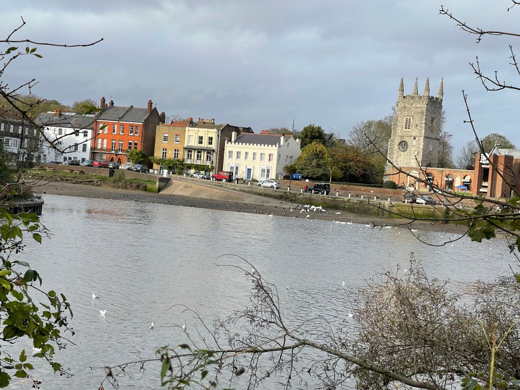
The river soon comes beside a more inhabited stretch for the first time today and we take advantage of some benches for a snack. We muse at a sign on a pub wall which advises the use of a doorway which seems very high up, during high tide. The reality of this would become apparent later in our walk. As we leave Richmond I spot these ‘lock ups’ – I find this kind of industrial architecture quite fascinating. Were they built to store boats or goods in a time past, their own rich history lost?

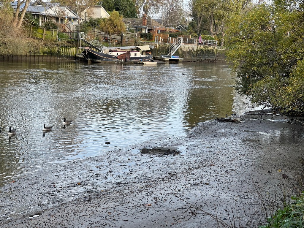
Our path curves in a big loop round with the old deer park and then Kew Gardens are on our right. To begin with not too much to see but eventually we can glimpse in as the wall is lowered and seats provide a viewing spot to a significant house on the opposite bank – Syon House. The map also suggests that this was the site of a battle in 1642 – the start of the English Civil War. Before we reach this grand house it is possible to look across and spot Isleworth – a village consumed by Harmsworth!

We pass Kew Palace, once of royal significance and then it’s under Kew Bridge. We wonder about coffee and lunch but no where is obvious. Interesting to be in this area having stayed by Kew Green and visited the gardens several times, a completely different perspective from the river. We almost back track on our selves heading south again as the Thames continues its loop. We pass the National Archive Centre – I wonder how many secrets are hidden there. Next we pass under Chiswick Bridge, we have noticed that the tide is coming in but we’re perhaps a little preoccupied with the need for a toilet stop. We arrive at a pub next to a slip way with the water creeping up it. We spot a sign which points to community use toilets down a road which is a continuation of the slip way. At the same time a fellow walker comments ‘ You better be quick or you won’t get through’.


Having walked up this side road into Mortlake we find a sign pointing us back to the pub we have just left. However there is a pub on the corner and although they weren’t very hospitable we did manage to use the toilets- not so many places for ‘a wild wee’ now it’s more built up! On returning to the river the puddle was over ankle deep on the path and growing. We had to return to the main road and walk parallel to the river. There were several places where there would normally be access to the river path but no luck- good job we didn’t try to wade through the first puddle! We even tried at one point and then found the far end of the section was blocked. Eventually as the road ran closer to the river we were able to follow the path that led under Barnes Bridge, a railway crossing.
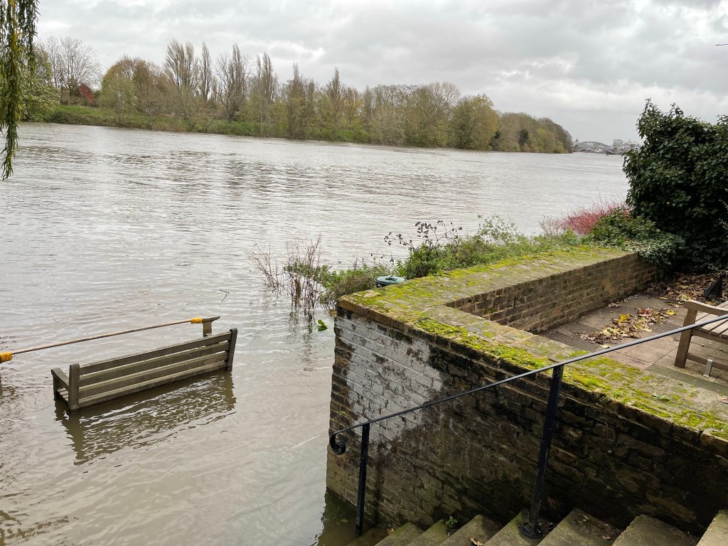
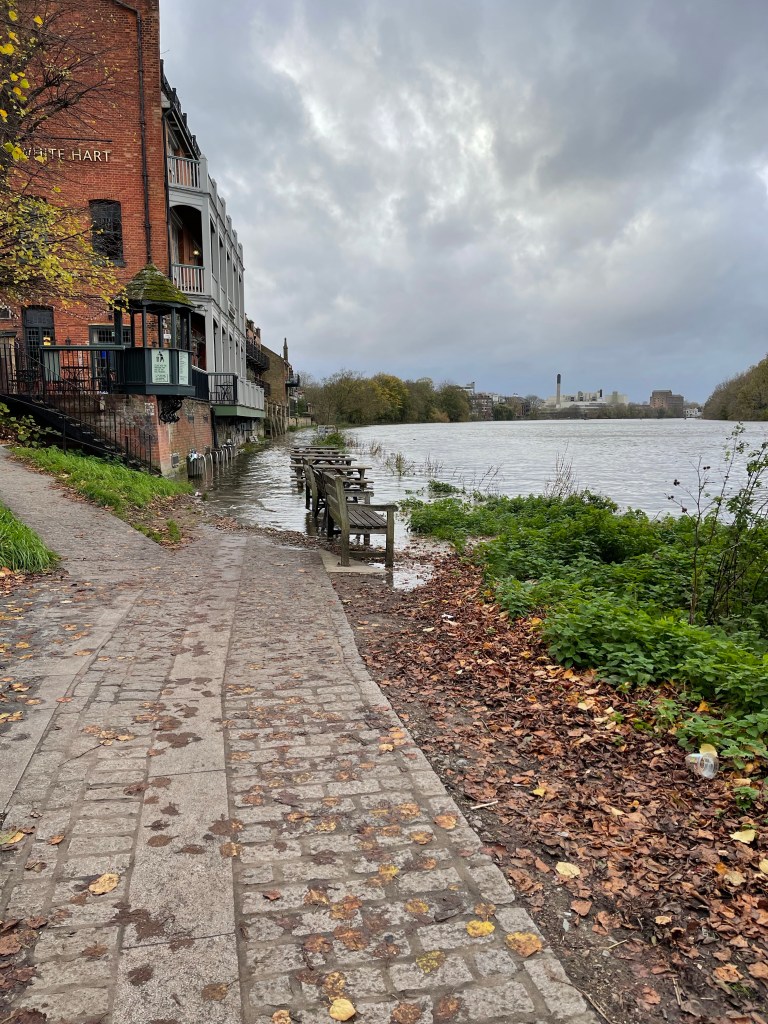
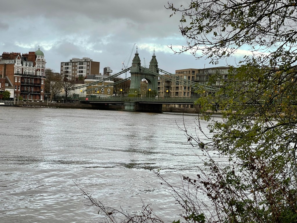
We concluded that it must be a particularly high tide; this situation had really surprised us. Barnes is enclosed on two sides by the river as it bends in a tight loop again. Lots of signs to a Wetland area – quite s few things you could explore further along our route and also an urge to walk on the other side and look back across. We reach Hammersmith Bridge which is now closed to motorists and was at one time also closed to Pedestrians. We also notice a ‘tide mark’ where the water at high tide has moved the leaves on the path.

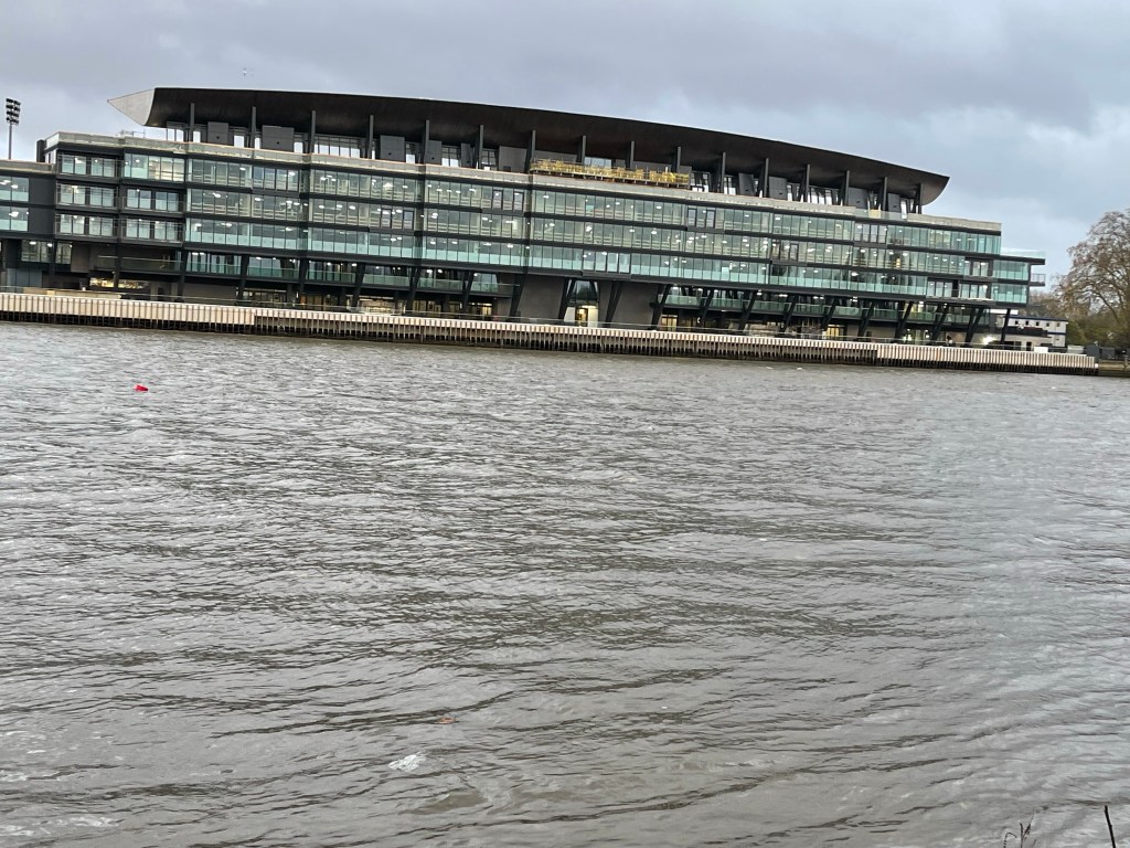
Nearly at our destination for the day, we see the grand stadium of Fulham, at Craven Cottage, next to the river and shortly we are arriving at Putney Bridge. A rather grand and probably quite old rowing facility. To finish our day we need to walk up through the Main Street to the station and catch a train to Twickenham and from there back to Didcot via Reading. We did get home but it took longer than expected as there were some trespassers on the line near Waterloo. All part of the experience.