Still down in Surrey/ Sussex but also just venturing into East Hampshire today. One of the leaflets I picked up at the museum was ‘Rail to Ramble’, walks from Haslemere Railway Station. As I couldn’t leave my car at my accommodation on this last day of my stay I transferred to a car park near the station. Although combining the two walks was slightly more than I would normally consider doing before I drove home, one of them wasn’t quite long enough- and the weather was good!
I decided to make life a little difficult for myself as I chose to walk in the opposite direction to the instructions. My logic being to do with trains that it was better to have a definite train I could catch and walk back to the car rather than setting off and perhaps missing trains back!
Never been to Haslemere station before – of course the toilet was in the wrong platform so up and over the bridge, knowing I’d got 15 minutes to spare and then as I start my way back a train arrives 10 minutes early – as to confirm, yes it is my train and then we sit a while in the station! Arriving at Liss I miss the exit and initially struggle to get off the platform – this doesn’t bode well. I had driven across this level crossing many times in the past – set off and quickly started going down the wrong road!!! Noticed signs for Shipwright’s Way – wonder what the history of that is? Oak trees perhaps?
The first section of my walk is mostly along roads which is a little frustrating but some have a more scenic feel.

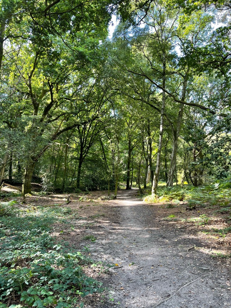
At last I verge away from the road and I’m back with old friends ‘The Serpent Trail’ and ‘The Sussex Border Path’. These do intermingle then separate and rejoin in quite confusing ways. At last the type of path I enjoy in this area!


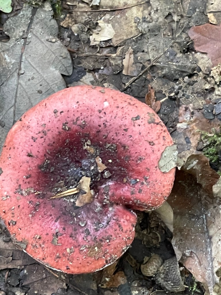
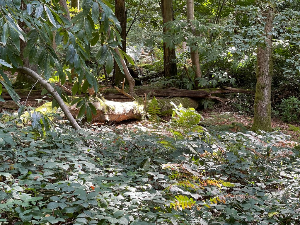
Signs of autumn as I spot several rather red fungi – none in brilliant condition and also spot this wall along the border path – I wonder when that was built?
I ultimately come out in Rake where there is a pub I almost stayed at once and luckily there is a footpath for this section next to a quite busy main road. The map suggests I carry on along this road which now only has a verge, there appears to be an alternative to the one I have plotted and I go along the other two sides of a rectangle to get to the edge of Chapel Common.
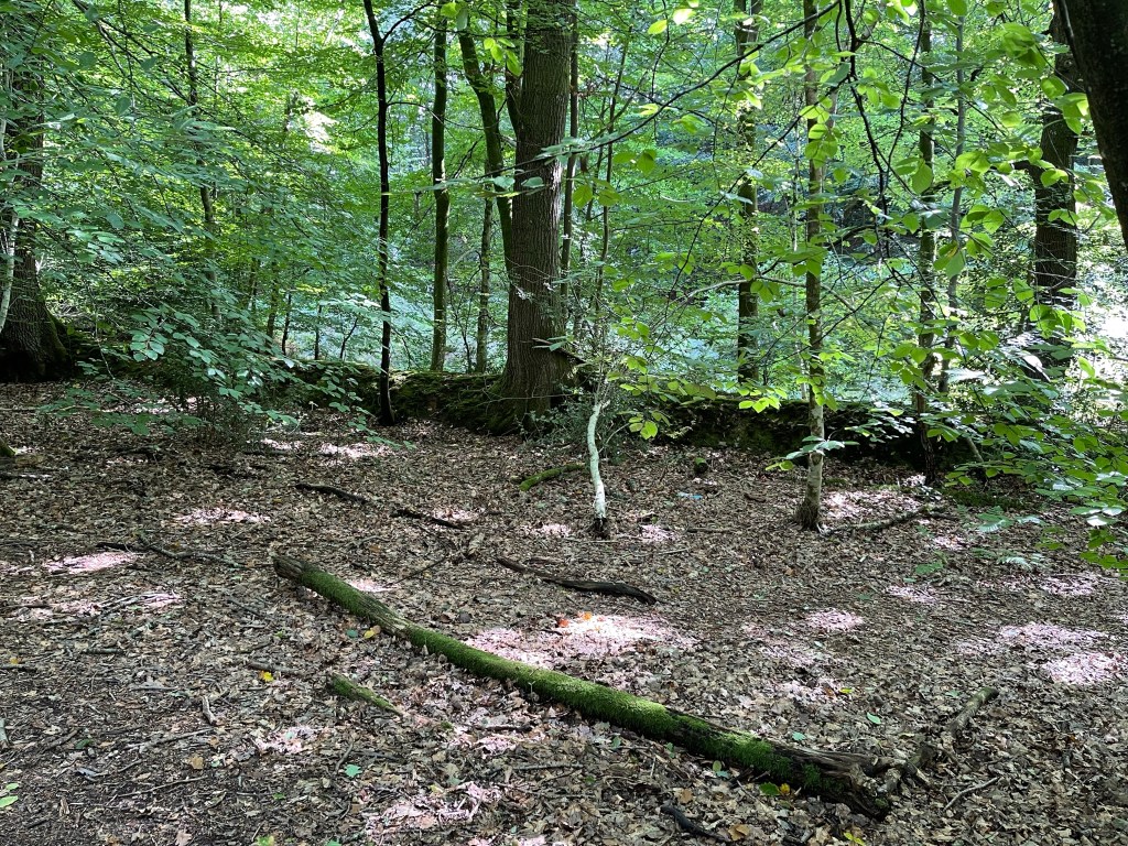
There is some good light today and I’m enjoying being out although a reasonable amount of concentration has been needed to find paths in some places.
In most places the border path is quite wide but not just here and I almost have to do a double check to make sure I’m on the correct trail.


One great highlight in this section was a wonderful golden coloured, Slow worm which was curled across my path. As I approached it started to slither away and I was too slow to capture it with my phone – great to see though.
Having emerged from the common it’s time to cross the road again and although I’m following the SBP it is across a golf course! Some good advisory signs telling you which way balls might come from but however careful you are you do always feel suspicious of anyone who is vaguely facing your direction!
I make good progress across this section, it is mostly dry underfoot although there are a few muddy patches in shady areas – quite unusual this year. I soon get to the point where I could turn up to Liphook station. But that is not my aim. Because I am trying to follow a preset trail I have put that onto the map on my app. Not sure if this is then harder to follow, I’ve already made one deviation and my phone has told me I’m of course!!
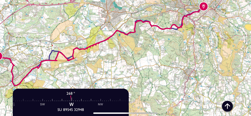
Where the trail is in red that is the plan plus my route – the blue shows where I deviated !!!!
I’m now on a short section which is just the ST, I have walked in this area before and there are a few sections that have some familiarity. I’m back into heathland and I keep hoping I’ll see a deer but alas only squirrels! Quite a lot of birdsong- and yet again I think that I should improve my knowledge.
I notice much to my horror that my battery is getting low and I’m very aware that I have at least another couple of hours walking to do. Every time I look at the map I try to remember which general direction I’m going in but this does vary between almost due north, east and everything in between! Sadly I decide I must stop taking photos. I realised that this has been quite a complex route in places and I have had to check my map a lot.
Apart from enjoying walking in this area as I always do, I did reflect on the need to either carry my charger or a paper map. Having done another slight deviation onto Marley Common I was feeling a little more secure knowing that if I got to Camelsdale I could get back to Haslemere! Phone still going but on red. A great path on the edge of the common.

I emerge onto one of the roads in Camelsdale, such a pity our school reunion was called off again this year as I was hoping to meet Jean again who lived in this village.It would be great to talk to her about some of my walks. Across the main road to Midhurst and beside the new housing estate which is even more extensive than last time I walked this way. Varied housing but rather intense. I’d forgotten that this path came out by a very large, grand looking house and that I had to turn left before going down the Longdene Road which reaches Wey Hill and the station.
The profile of this walk is quite interesting and it is one of the things I enjoy about the area. I feel quite pleased that I’ve managed three good walks during my visit. About 23 km today.

