So having finished the previous day’s walk at Postbridge we were met and driven towards Princetown, where I thought we were staying. However it turns out our campsite was at Peter Tavy a rather small village nearer to Tavistock. Thanks to goggle I found us a pub to eat in( very good chicken curry) and then we went to the campsite to pitch my tent – Jane had already put their’s up. Shocked at how dirty my legs were from our walk – I was wearing cropped trousers and having pushed our way through gorse and areas that at times might be boggy, I felt quite grimy.
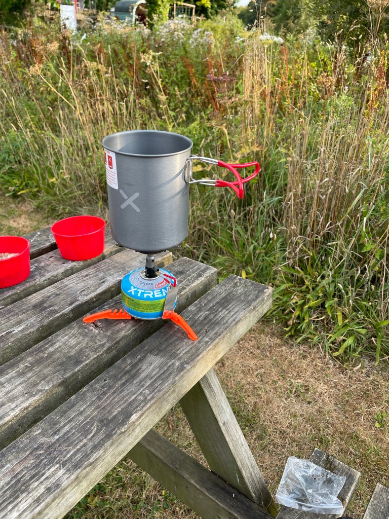
So after a surprisingly good night’s sleep we set off back to Princetown. A stop for Steve and Jane to buy breakfast – I’d already eaten my cereal and boiled water for tea- having bought a stove I needed to use it! I did buy a tea though. seemed quite warm again today – around 30 probably.
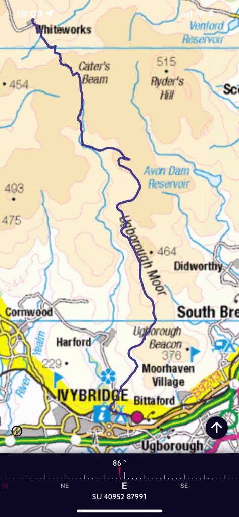
Steve decided to knock a few kilometres off the walk by having us start at Whiteworks an old Tin mine area and Jane dutifully drove us up the minor road to reach it. We started by exploring this area and then quickly found our path – for a short while! Steve pointed out where we were aiming for and then we crossed the edge of Foxtor Mire – luckily this was much drier than usual but still with hugely deep ruts between the tufts of grass and reeds. We were heading for Crane Hill area on a south easterly bearing. Well I only fell over once and took ages to be able to get up as feet were stuck down holes and nothing to lever on! Fortunately we didn’t find any snakes either !
So having fought our way across the mire we found a bit of a path and a cairn circle and the wall we had been aiming towards. Now to find a way across!
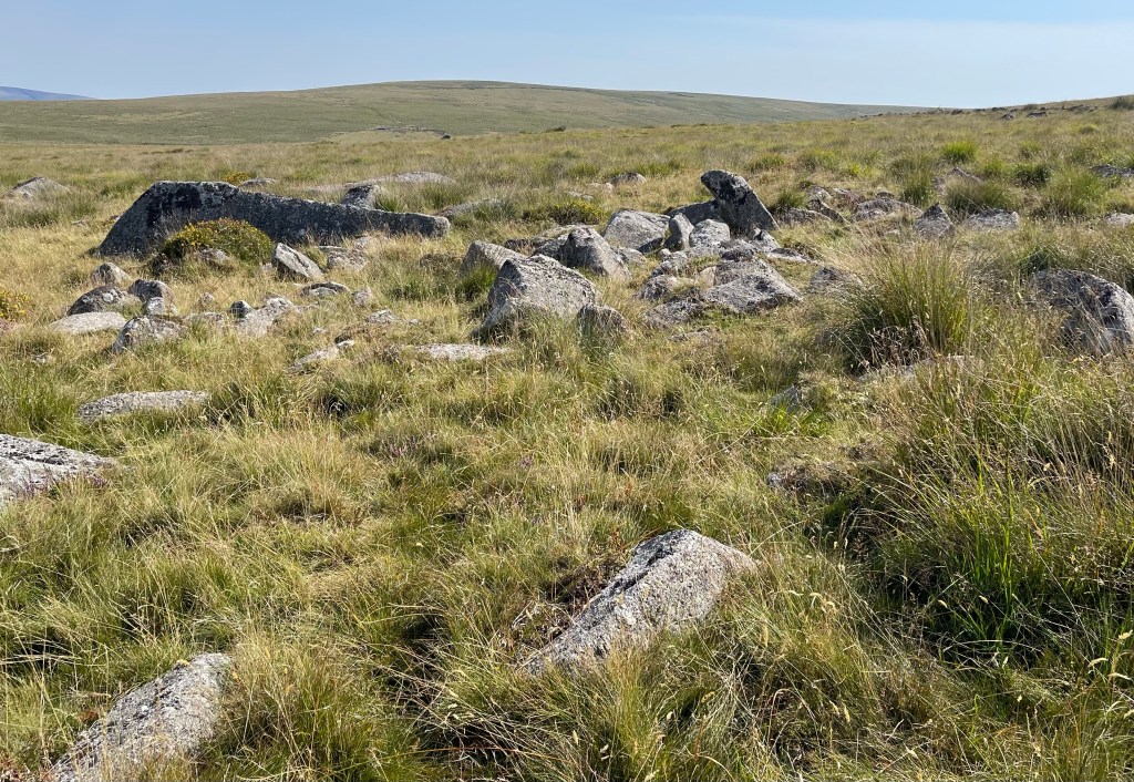
Having eventually found a way through the wall we climbed up a bit and found some rocks for a quick snack. Our first two kilometres of the day had taken over an hour!
We were now heading for the area around Cater’s Beam. I recorded our walk but used a paper map and compass. Having passed near to Crane Hill we found ourselves walking through Black Lane- a plaque at the end recorded how a passage way had been cut through the peat to ease the transportation of livestock across the moor. I spotted a post which I could locate on my map and on our route this is where we headed east to try to regain the path as indicated on the map. As can be seen this took us not quite far enough but definitely to path that had been used by others. Perhaps we gave up on our pacing too soon. I did have to point out that if Steve wanted me to follow his route- he was worried about snakes- then he had to wait a bit otherwise I couldn’t see where he had walked! !

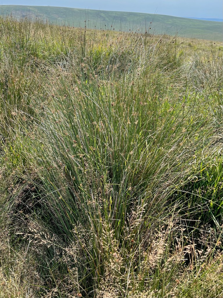
Again we are in areas of wide open spaces but no real Tors or distinctive markers in the landscape. We eventually find our way down going almost due south but slightly parallel to the marked path, perhaps if it had been less dry we would have been forced higher up the side of the hill. The streams in this vicinity are all the tributaries to the River Erme. We meet the course of the Abbot’s Way and take a turning to the east, somewhat pleased to leave behind the faint paths and rough ground we have been walking though. The next photo was taken later in the day but gives some indication of the terrain – Foxtor Mire was much more reedy.
We followed this along to Red Lake Ford where there were helpful stepping stones. I really struggled to get my balance to begin with and tried to look for an alternative crossing, to no avail. Back to the stones and a slightly different approach, a helping hand over the last big stretch and all done! Today was warmer than yesterday and it was good to stop for lunch – it had been quite a hard morning but we were nearly at the meeting with the Two Moors Way. The Erme Plains had obviously been an area of prehistoric settlement and I had hoped we would visit. Sadly no, our track was on the old dismantled tramway which once would have gone to the Tin Mines and the China Clay works.
Such a lot of archeology in this area and apart from a few boundary stones our path didn’t really overlap with this wonderful history. I made a note to myself that I really would like to try to follow the path that kept cutting across our route and find some of these remains. I think I had possibly seen some of this a long time ago when coming up from Wrangaton Golf Course. A disused pit which still had a good level of water had become a favoured spot for a herd of Belted Galloway beef cattle. More usually found in south west Scotland but suited to rough ground and moorlands. A poor photo as the brightness of the day was making photography challenging.

We stopped for water and a break as well, making quite good progress but still a fair way to go.The path continued to curve it’s way down hill, following contours as would have been necessary for it’s original purpose. After Piles Hill the area of civilisation below began to become apparent and then on the skyline Plymouth Sound appeared.

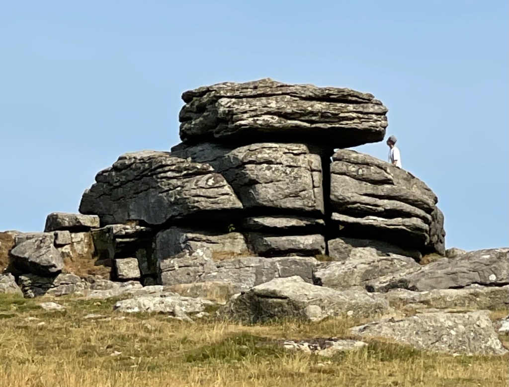
I felt quite frustrated at the lack of photographic opportunities and the ability to see what I was taking. Steve seemed a little thoughtful, perhaps about his birth place of Plymouth where he hadn’t been for a long time and I was a little way behind. I was determined to get some shots of a rock formation and when Hangershell Rock came into view I tried to capture it. It was being visited by others at the time but I did decide to go a little way up the path towards it to get a better view. Just hoped that it would be noticed that I wasn’t there at some point!

The track way which was quite stony in places continued on it’s way down but the Two Moors Way split off to the right as it approached the tree line above Ivy Bridge. The moorland stops at a wall which circuits the bottom of Western Beacon which is a large convex hill at the end of a spur starting much further in the north. It was quite an abrupt stop as our last three quarters of a kilometre had been across grass. So a gentle punctuation before a steep and difficult stony enclosed lane down towards the railway line and a metalled road into the edge of the town.
We finished our walk at the railway station where we were picked up so we didn’t quite get to the end of this long distance path which starts on Exmoor.
A distance of 23.76 km today and out for nearly 7 and a half hours. Although I had drunk quite a lot of water I had never felt really uncomfortable even though there was less breeze than the day before. So from backpacking to nothing to two good days walks, it has to be said that this was a worthwhile and good trip which still provided a sense of achievement and gave me an opportunity to practise some old skills which weren’t quite as rusty as I had thought!