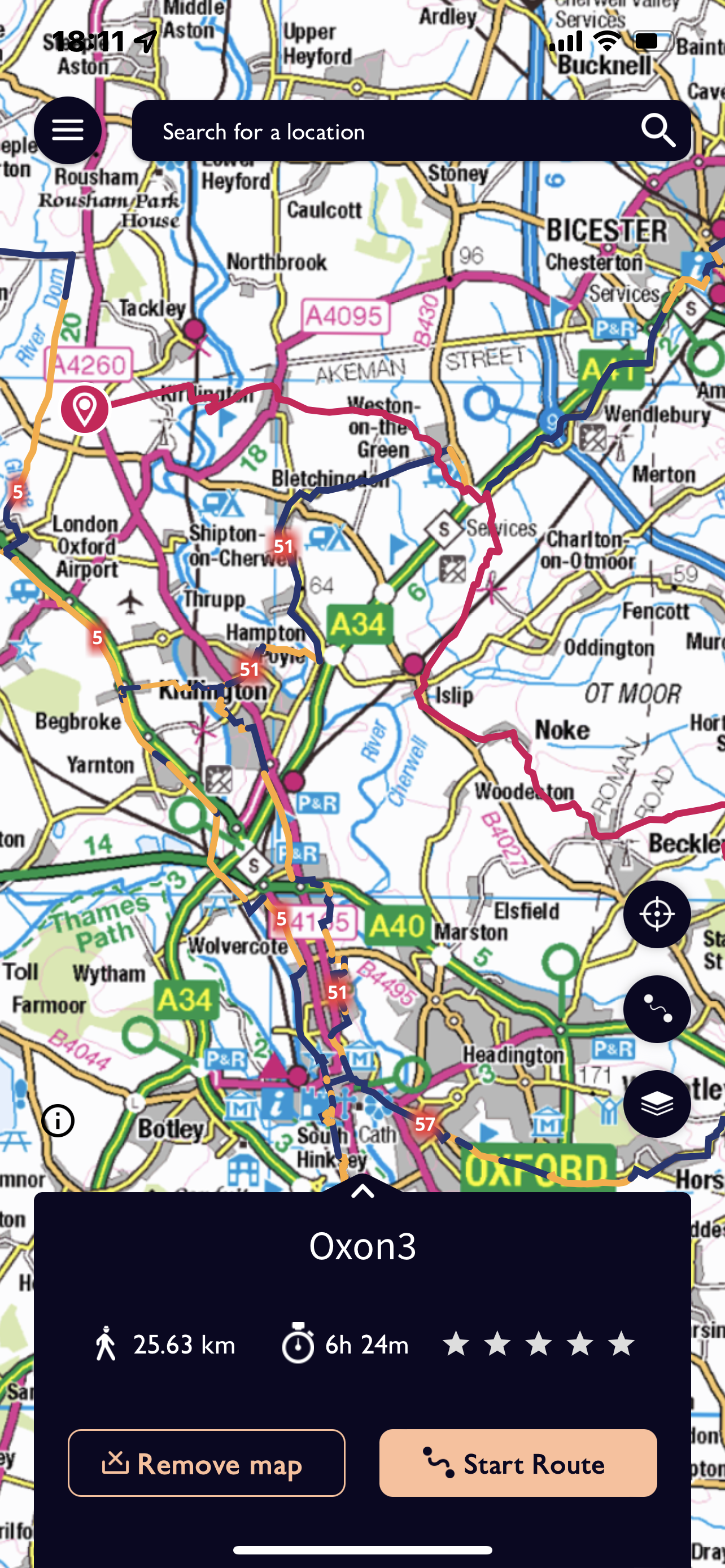
We have Jennie with us again today and I’m not sure she had realised that this was going to be the longest day! It turned out to be 25.63 km and not surprisingly we finished more or less in the dark.
So setting off from Millets at 8.30 we had a more straightforward journey as we didn’t go via Carterton. We started our route at Sturdy’s Castle where we had finished the previous day and were quickly on a track which again followed ‘Akeman Street, the Roman Road. Our path cut across the side of a hill and was not too difficult in the drizzle. An abrupt turn to the right shortly before the railway line, across it over a very high metal bridge and then down towards the Oxford Canal.
The River Cherwell intertwines in places with the man made canal and we cross a series of weirs before reaching Pigeon lock. A rather special place with a complex system for horses and men as they negotiated changes in height of both water and land.


The path almost doubles back on itself alongside the canal and there is evidence of old quarries leading down to the water as well as areas now designated as nature reserves. This is close to the village of Kirtlington, medieval fishponds are marked as is a Park and large house. I’m reminded that this was another site of a large Oxfordshire International Guide Camp where I helped provide various activities.

The richness of the village may be linked with sheep or stone and the closeness of the canal must have been a huge asset. The walk through the parkland is pleasant if not still a little damp and we head for Weston on the Green.
Before reaching the next village we did have a bit of an incident! We approach a field containing three horses – not so bad you might think but they were very frisky! Bucking and galloping and rearing up at each other – just playing really !!
Anna was terrified and I was none too pleased, luckily Annie had come across them before on her trial walk and after a great deal of hesitation and with Jennie and Annie on the outside we walked across as a block and went as fast as we could. With great relief we reached the exit point!
Even though we’ve had a snack stop at Kirtlington we decide to ‘shelter’ under the eaves of a pub at Weston and eat part of our lunch. Several cars arrive in the car park as it approached 12 noon and occupants alight and make a dash for the door as it opens at midday! They were very surprised that we were not joining them! Refreshed we cut round the back of the village and follow the slip road which passes over the A34 just prior to meeting the M40.
Not the most exciting section next, across fields mostly- some of which were rather waterlogged. Annie had suggested we brought bags to put over our boots – except that Jennie hadn’t got the message. Although we had to do a few diversions and some hedge hugging we did manage to cross the area reasonably unscathed and without extra protection!
We left the fields and entered the north east corner of Islip. Now a small village but once boasting 22 inns. It transpires it was on the route between Worcester and London and the River Ray could be crossed at this point. Time to eat the rest of our lunch and we availed ourselves of chairs which were sitting redundantly outside the -up for sale- Swan Inn. And the rain had stopped!!

The path climbed up across fields, not quite as muddy as the previous two days. The path led through a kissing gate into the intriguing village of Noke. This area between Islip and Noke would have been very important during the civil war, with many battles taking place near Oxford.


There is a large Manor house and rectory in the village but quite a small church. It first became a manor after the Battle of Hastings when William designated areas to his various kinsman and important knights. The name means ‘ area of Oak’ and Prattle Wood and Noke Wood still exist.
Noke was also one of the seven villages surrounding Otmoor and was part of the uprising against the 1815 Enclosure Act. We skirt around the southern end of the Moorland which is very wet. The River Ray that we crossed in Islip runs through it and at various times the area has been partially drained.
We continue in round to Beckley, we have seen Beckley mast from a distance but never actually go near it. Looking out over Otmoor we see Buzzards which makes a change from Red Kite! A short stretch in the village before we are back out across fields. A slight hiccup with navigation taking the wrong identical and both quite hidden stiles. Being able to really expand the map on my phone does help in this situation. For the third afternoon in a row we are treated to some exciting skies. The down side of this is that we still have a fair way to go!


We are heading for Menmarsh Guide Post – a cross roads. Having touched on the edge of a wood and across some fields in the fading light our last section is along more of a track towards Danesbrook Farm. We hit a particularly dark stretch and do jump as a figure appears and shouts hello. Steve has got bored waiting and has come to meet us. They’ve parked at the farm and have saved us the last kilometre – nobody complains!